28.04.2024 12:25
Ride
-
Dystans
70.19 km
-
Średnia prędkość
18.31 km/h
-
Maksymalna prędkość
49.12 km/h
-
Czas ruchu
03:49
-
Całkowity czas
04:18
-
Najniższa wysokość
222.8 m
-
Najwyższa wysokość
291.8 m
-
Suma przewyższeń
578 m
-
Kalorie
2427
-
Kwadraty
41
-
Osiągnięcia
3
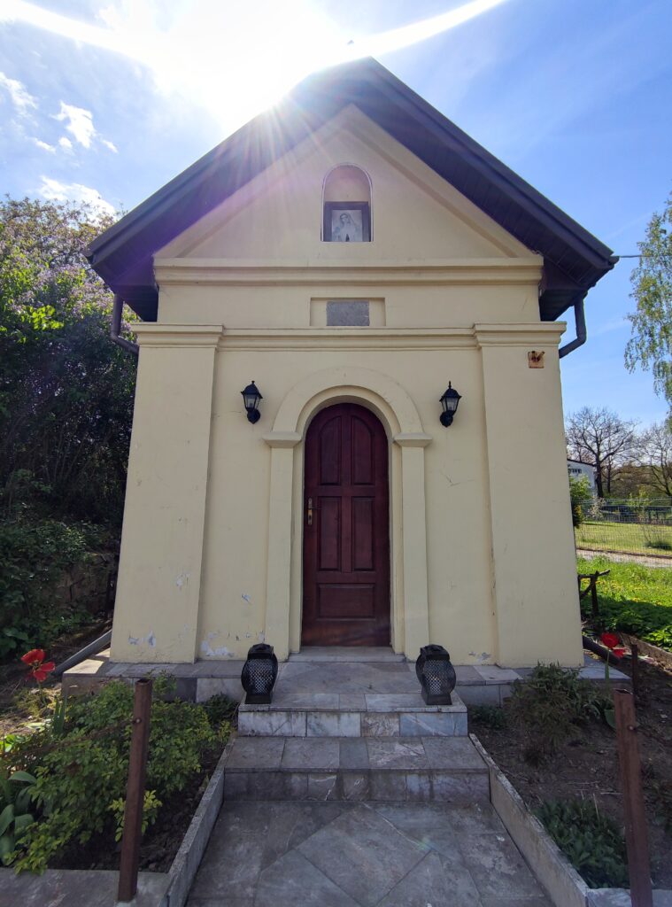
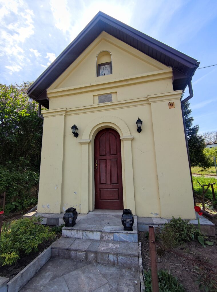
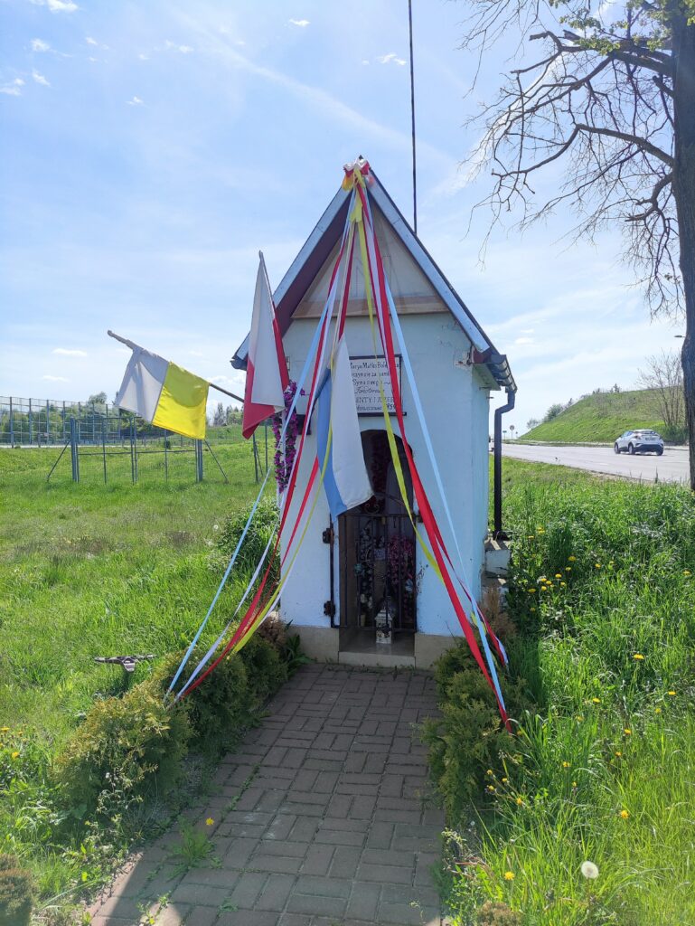
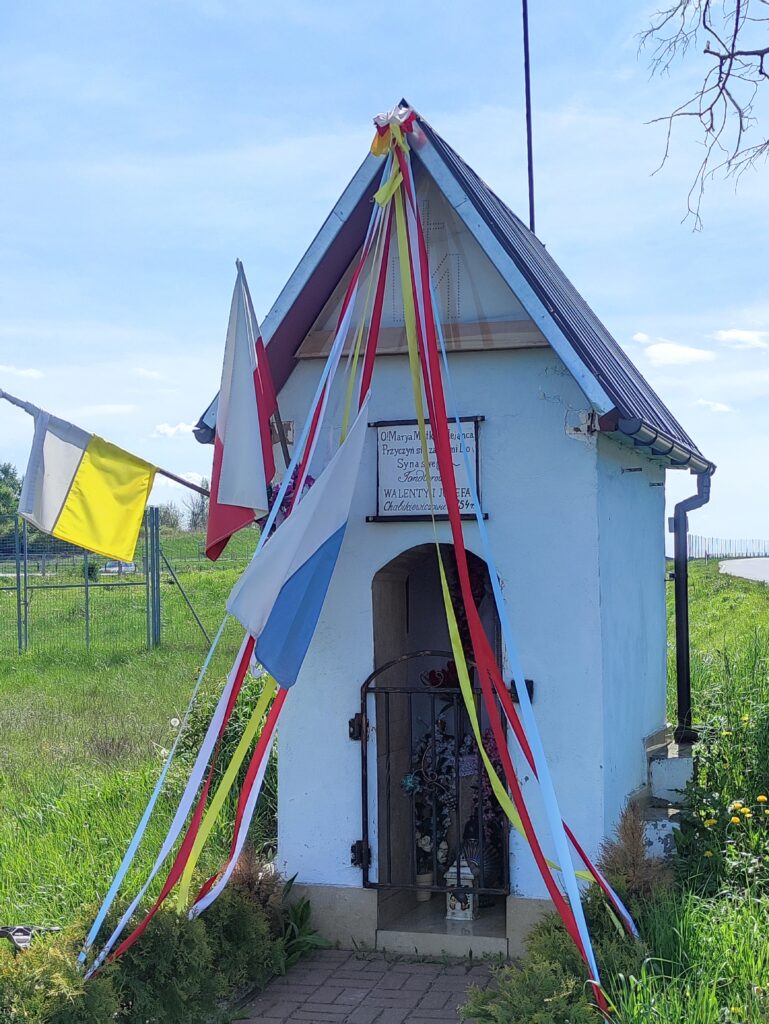
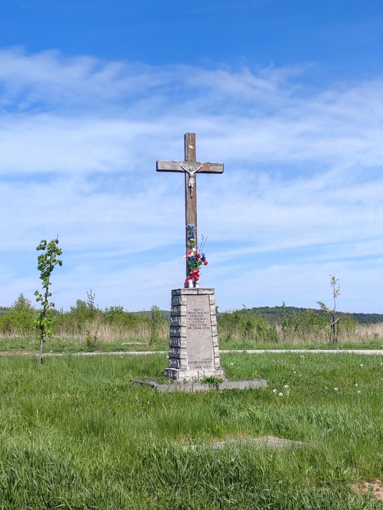
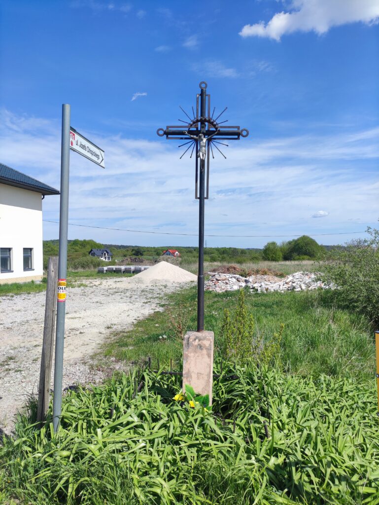
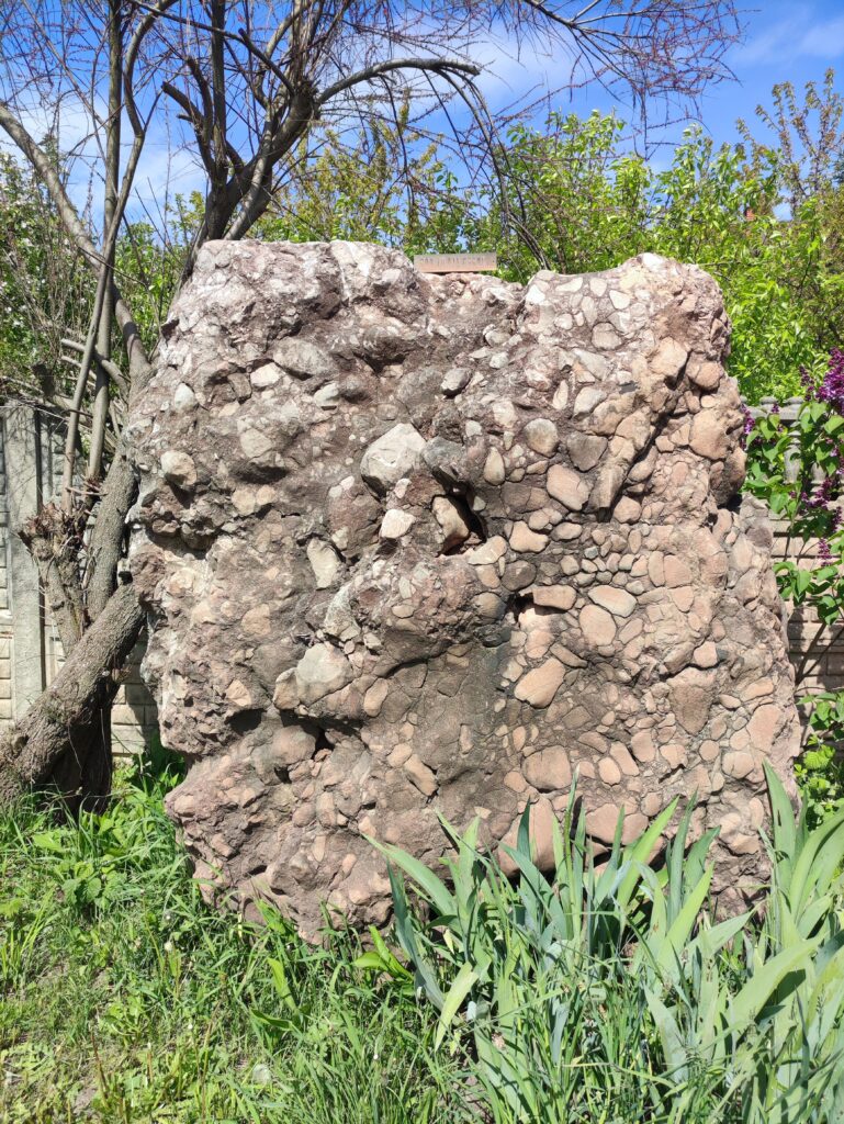
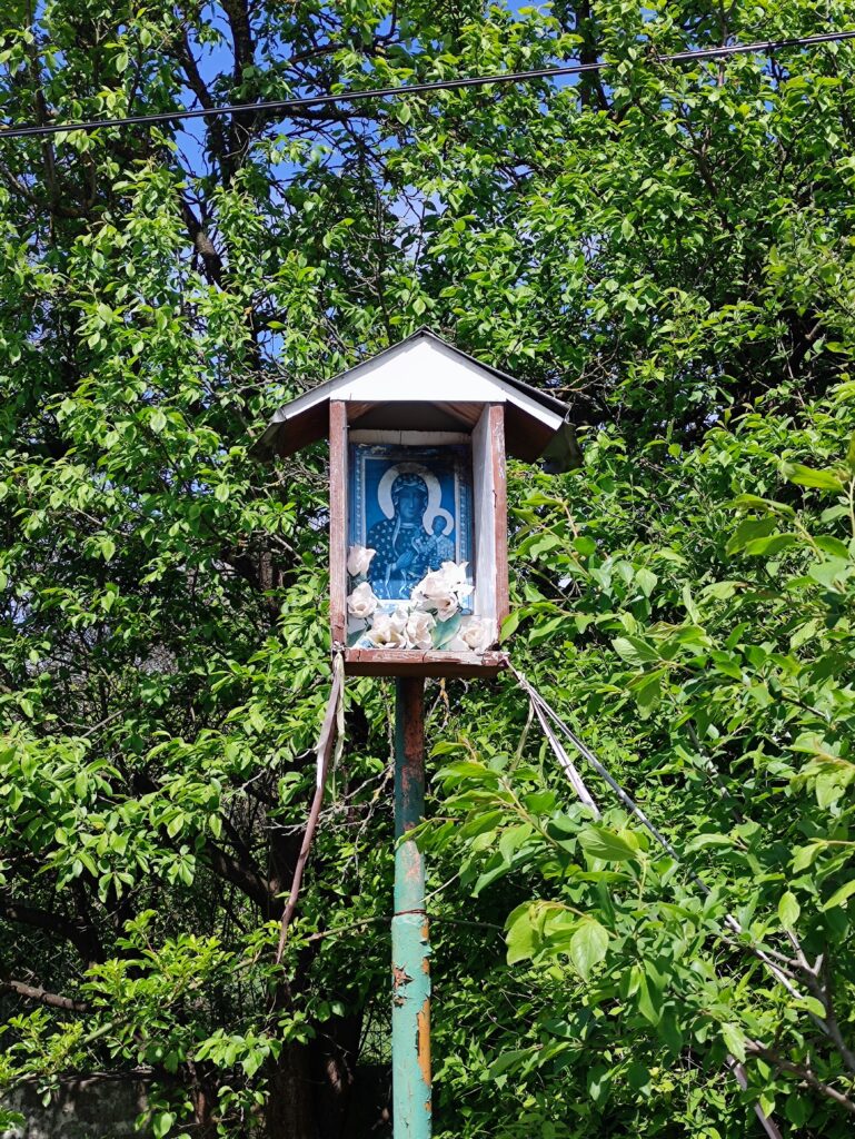
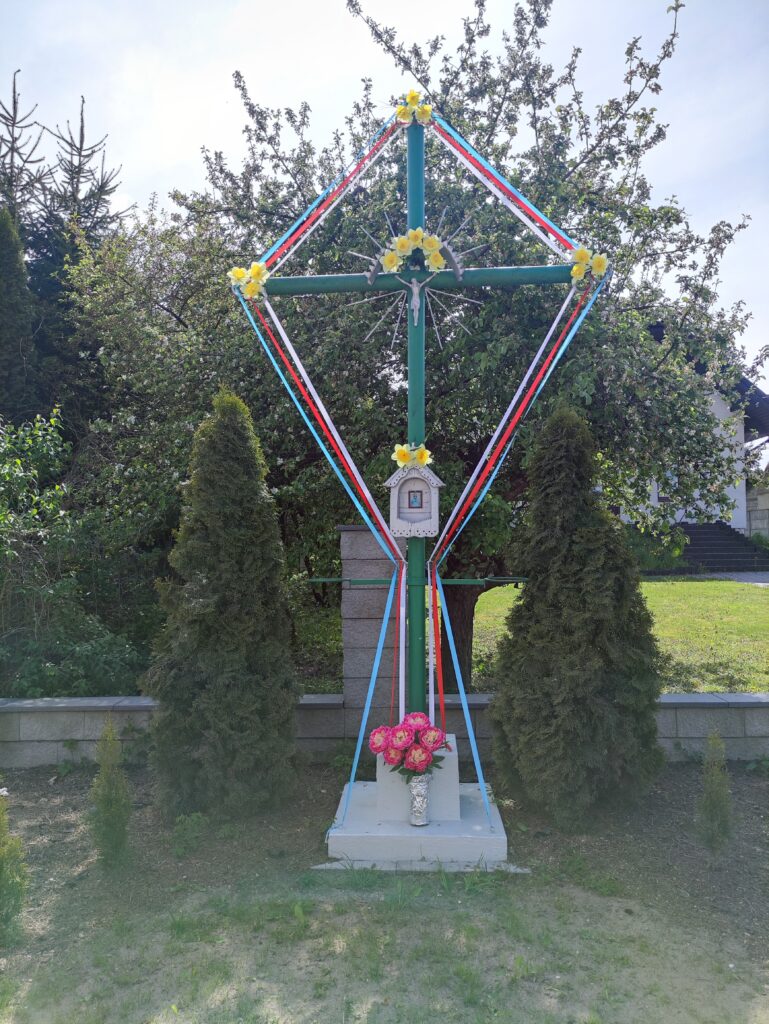
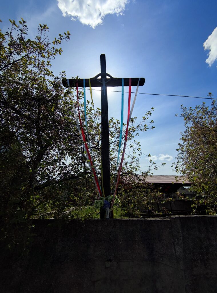
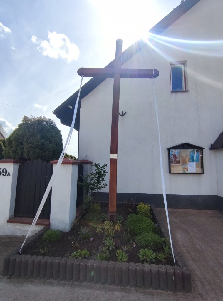
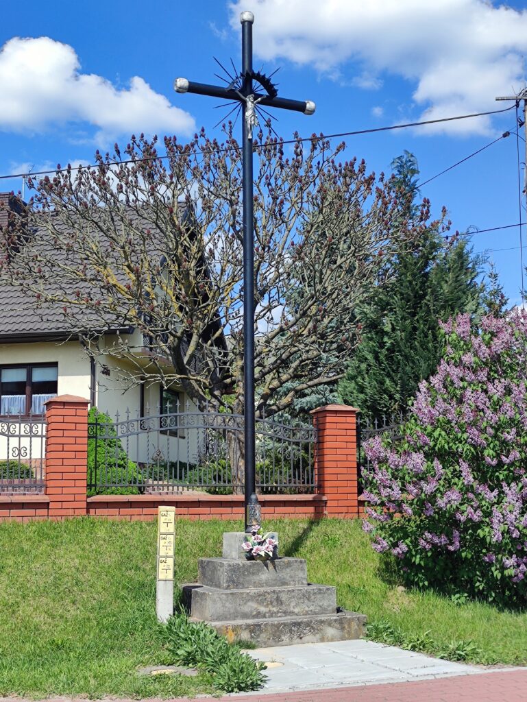
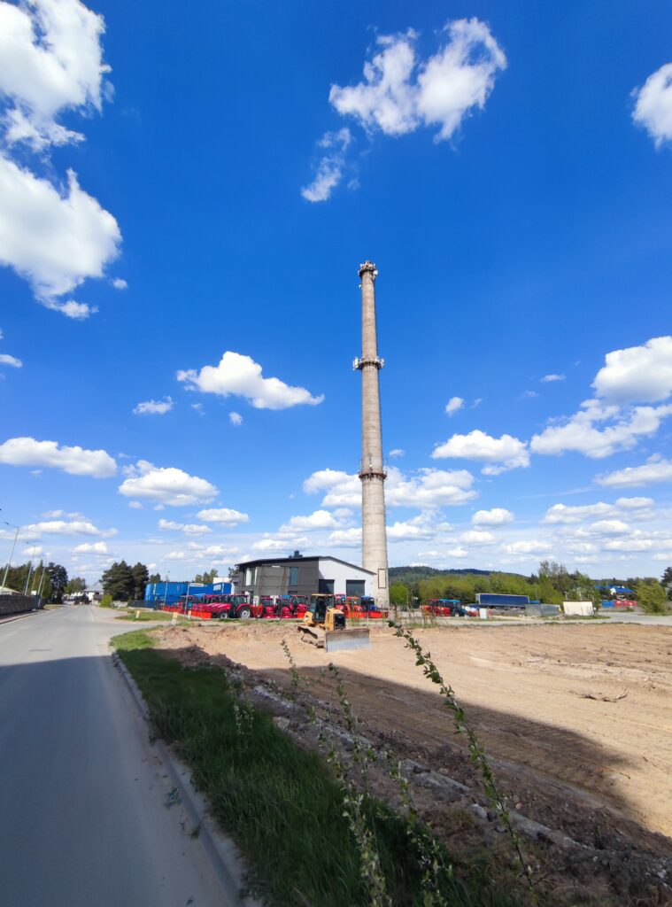
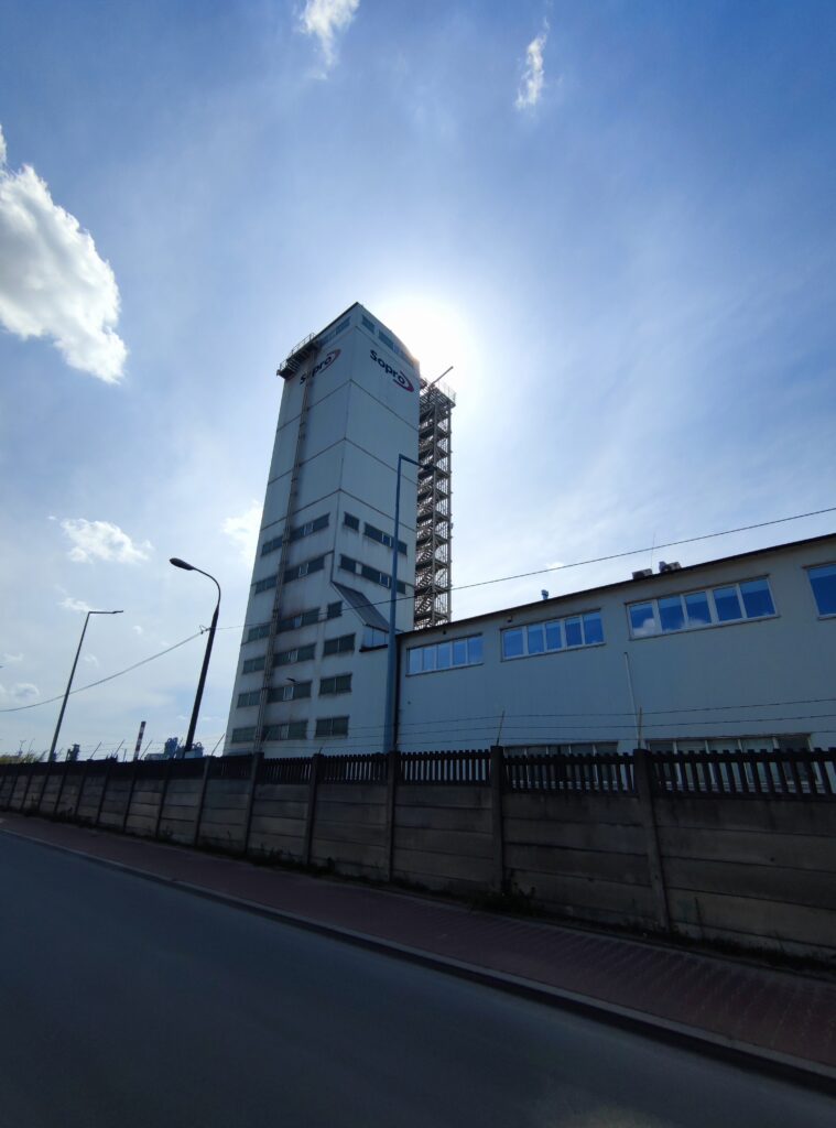
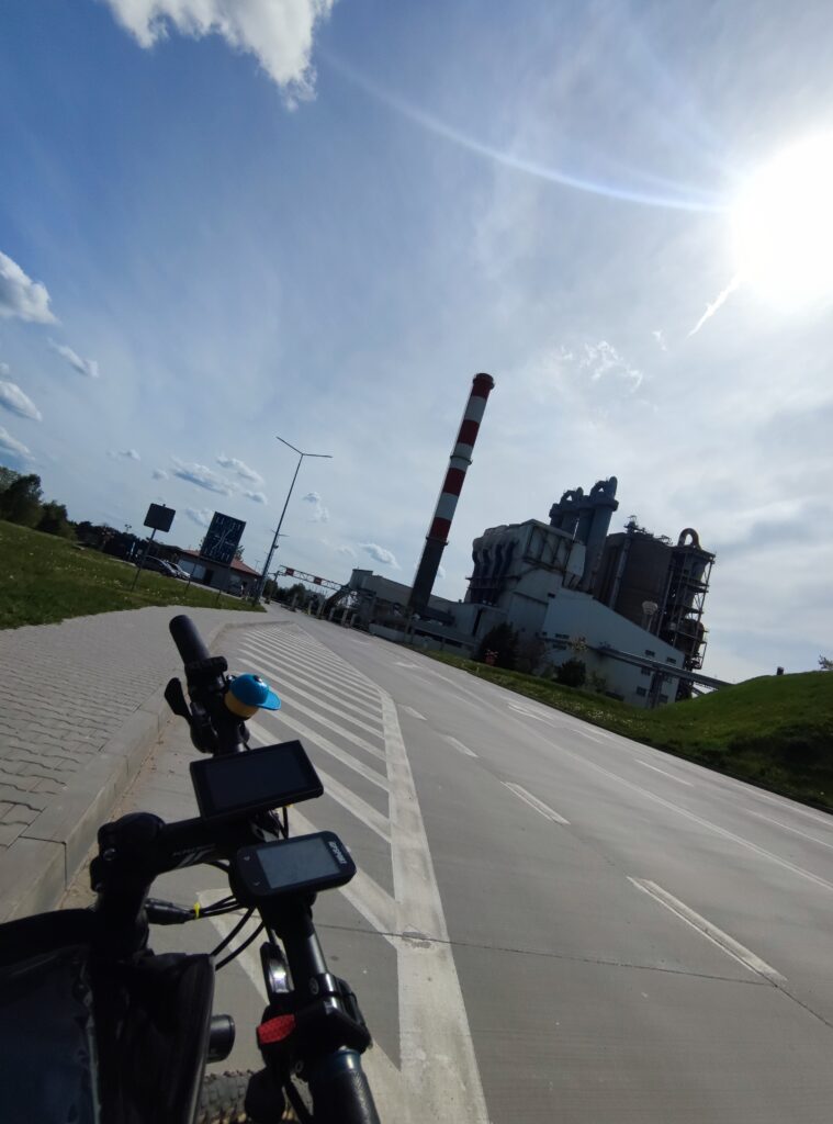
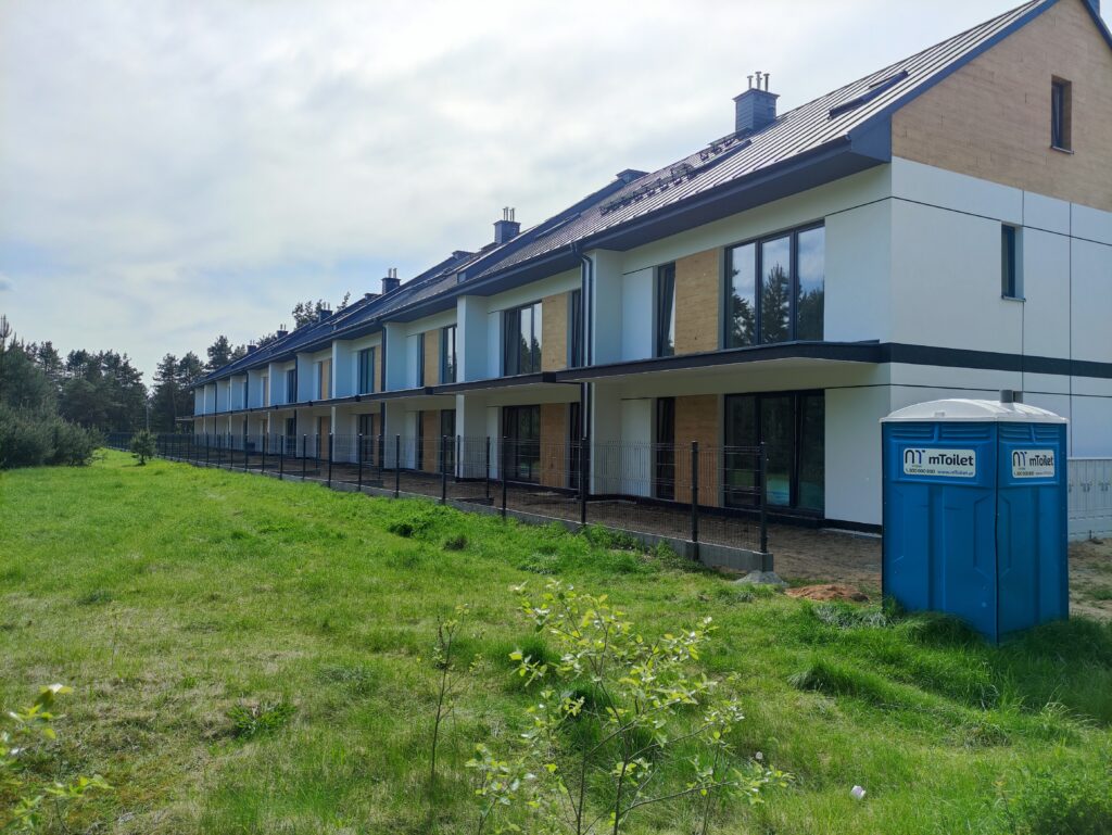
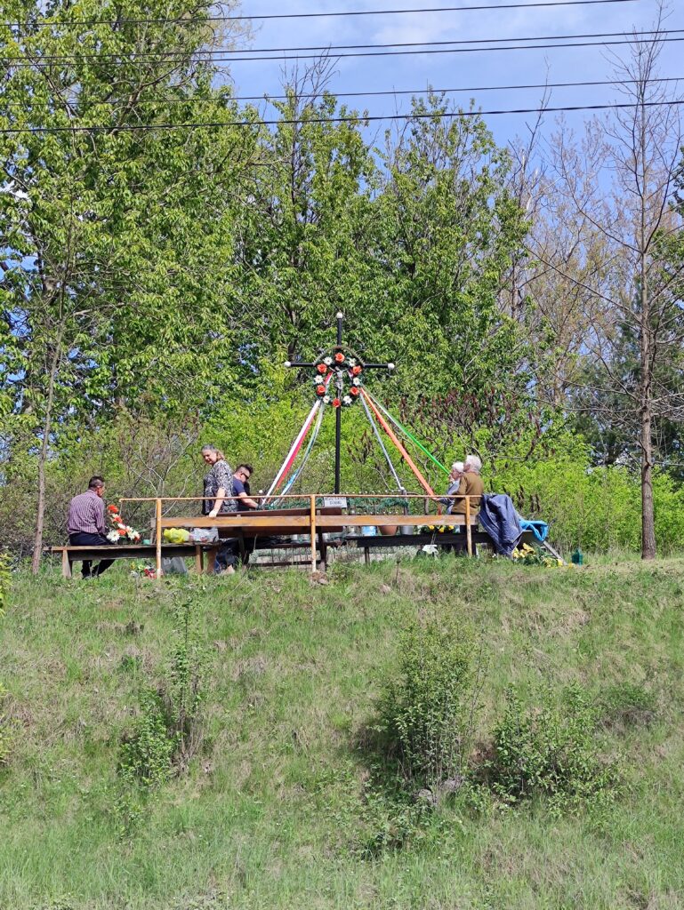
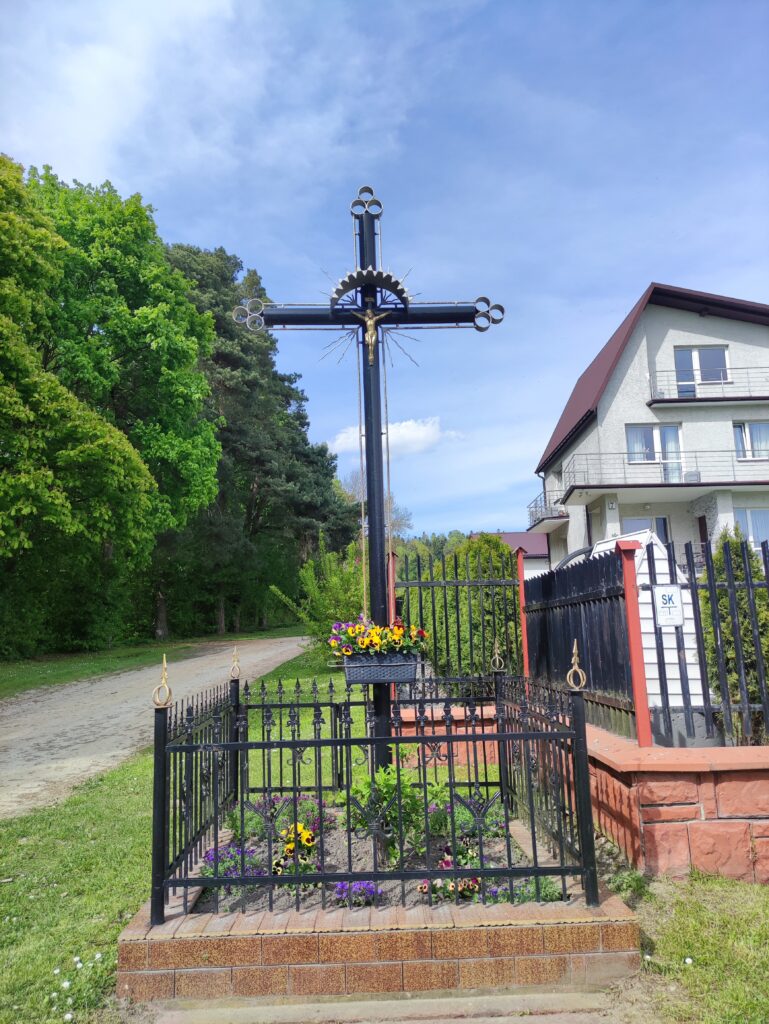
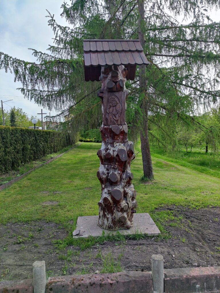
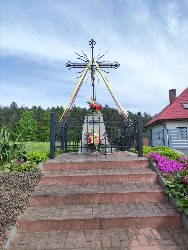
Zdjęcia na trasie


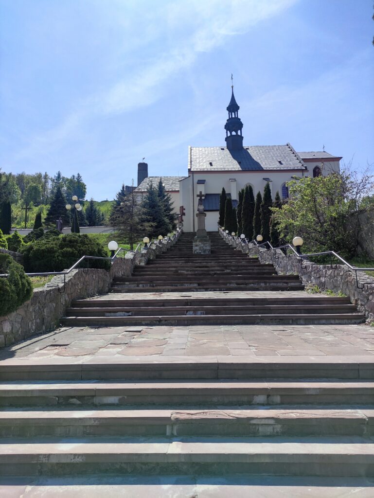
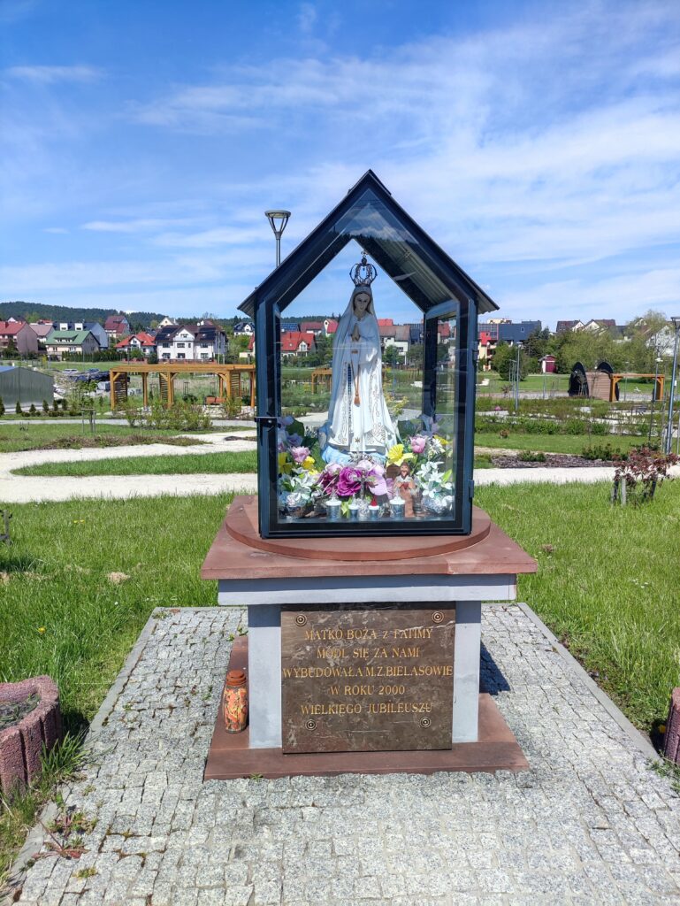
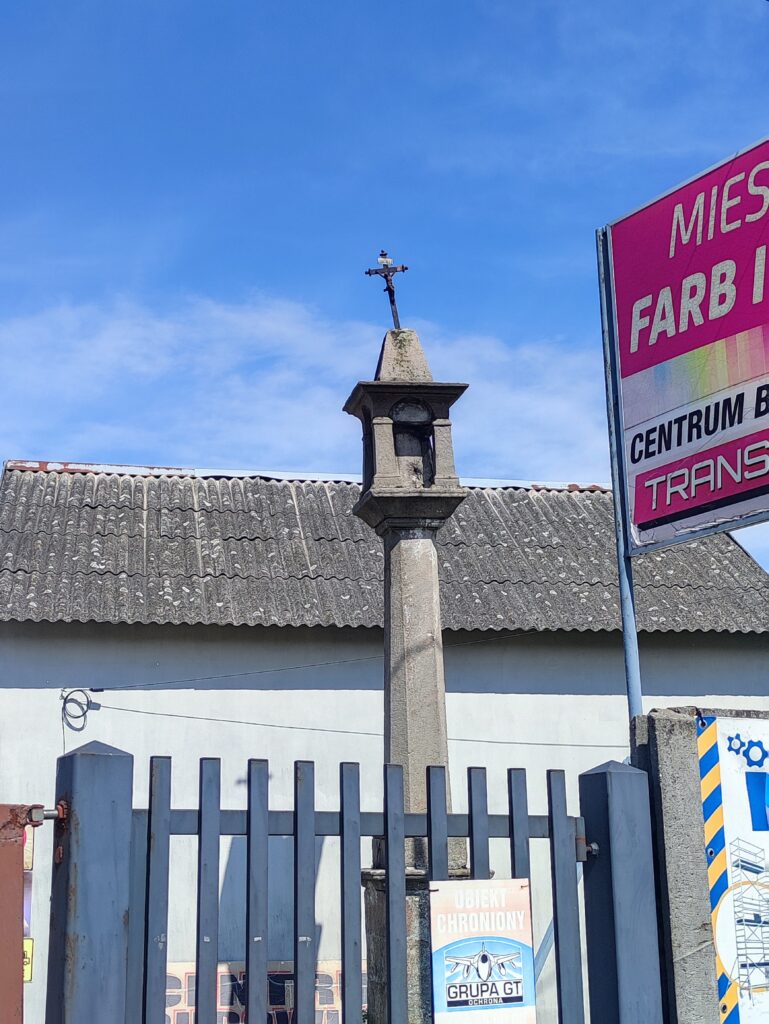
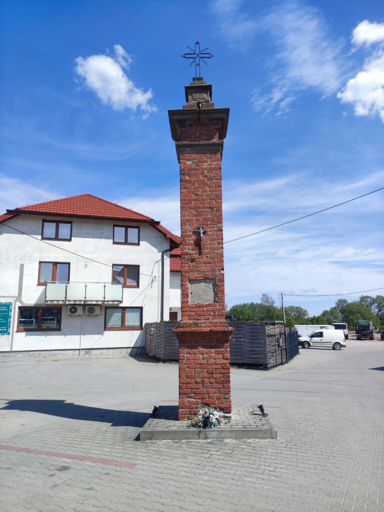
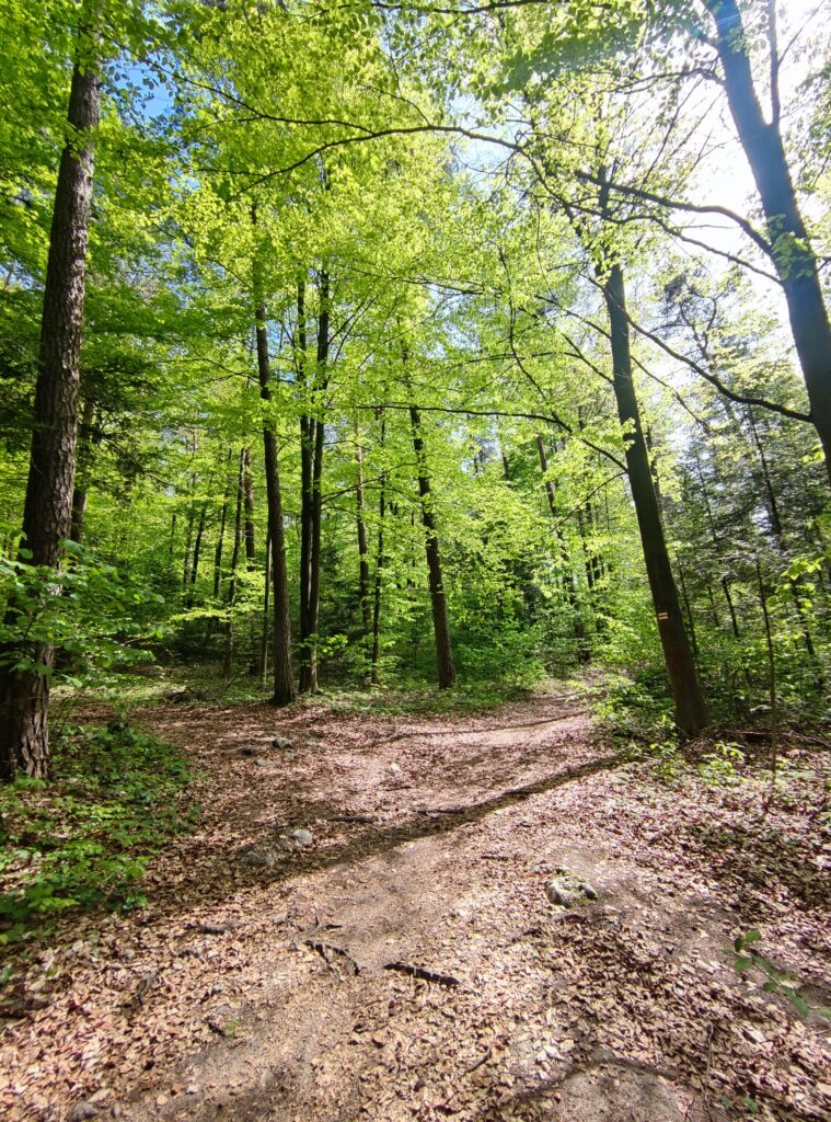
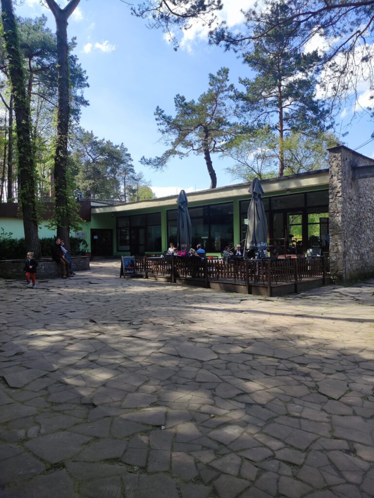
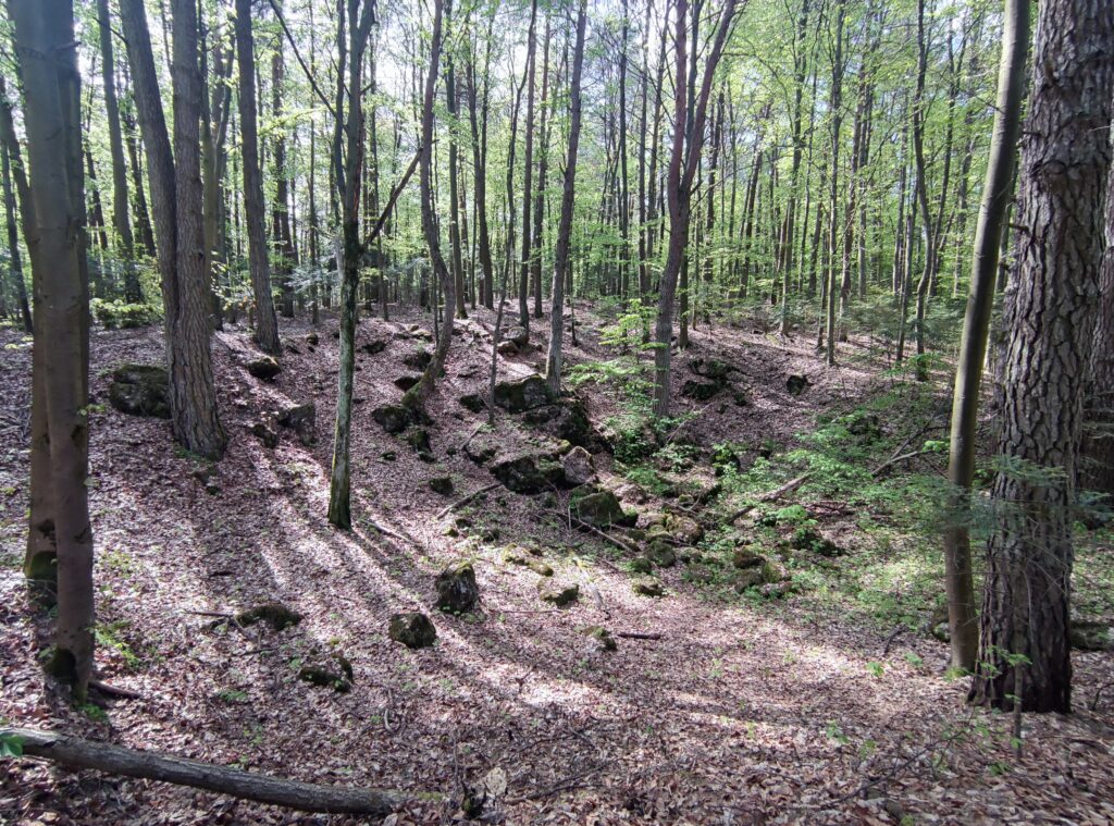
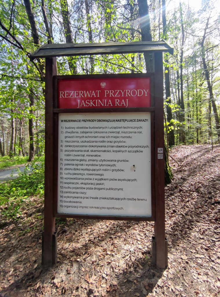

Trasa
| Podział | Dystans (km) | Czas trwania (min) | Różnica wysokości (m) | Średnia prędkość (m/s) |
|---|---|---|---|---|
| 1 | 1.04 | 5:27 | -8 | 5.61 |
| 2 | 0.99 | 11:47 | -1.4 | 6.2 |
| 3 | 0.98 | 2:67 | 0.6 | 6.12 |
| 4 | 1.01 | 3:3 | 0.4 | 5.73 |
| 5 | 0.98 | 2:28 | 11.6 | 7.12 |
| 6 | 1.01 | 2:32 | 16.8 | 7.26 |
| 7 | 0.99 | 3:07 | -12.8 | 6.16 |
| 8 | 1.02 | 2:68 | 10 | 6.32 |
| 9 | 0.99 | 2:45 | 2.4 | 6.75 |
| 10 | 1.04 | 3:63 | -27.6 | 6.1 |
| 11 | 0.98 | 1:83 | -2.8 | 8.87 |
| 12 | 0.98 | 3:72 | 15.2 | 5.06 |
| 13 | 1.04 | 2:92 | 6.8 | 5.94 |
| 14 | 0.96 | 3:72 | 18.2 | 4.98 |
| 15 | 1.01 | 4:53 | -6.2 | 4.75 |
| 16 | 1.02 | 3:68 | 14.8 | 6.09 |
| 17 | 0.97 | 4:8 | -14.4 | 4.06 |
| 18 | 1.04 | 6:65 | -2 | 3.76 |
| 19 | 0.97 | 4:55 | 6.2 | 4.57 |
| 20 | 0.99 | 3:05 | 12.8 | 5.41 |
| 21 | 0.99 | 3:35 | -5 | 5.43 |
| 22 | 1.01 | 5:7 | 8 | 3.65 |
| 23 | 1.00 | 5:58 | -22.8 | 3.74 |
| 24 | 1.00 | 5:53 | -9.6 | 3.14 |
| 25 | 1.00 | 7:12 | -2 | 3.27 |
| 26 | 1.00 | 3:25 | -2.4 | 5.21 |
| 27 | 1.03 | 3:33 | 19.8 | 5.14 |
| 28 | 1.02 | 3:5 | -7 | 5.56 |
| 29 | 0.95 | 3:95 | -3.8 | 5.81 |
| 30 | 1.01 | 3:52 | -12.2 | 5.87 |
| 31 | 0.98 | 2:9 | 1.6 | 5.64 |
| 32 | 1.01 | 3:12 | 9.6 | 5.43 |
| 33 | 1.03 | 2:33 | -13 | 7.34 |
| 34 | 0.99 | 3:67 | -0.6 | 4.51 |
| 35 | 0.99 | 3:33 | 5 | 5.01 |
| 36 | 0.99 | 3:37 | 1.2 | 4.89 |
| 37 | 1.01 | 4 | 0.8 | 4.86 |
| 38 | 0.99 | 2:62 | -1.4 | 6.32 |
| 39 | 1.01 | 4:18 | -6.2 | 4.52 |
| 40 | 1.00 | 4:67 | 3.4 | 4.68 |
| 41 | 1.01 | 3:6 | 1 | 4.68 |
| 42 | 1.01 | 5:63 | 2.2 | 3.98 |
| 43 | 0.96 | 3:73 | -3.8 | 4.3 |
| 44 | 1.02 | 4:6 | 31.4 | 4.46 |
| 45 | 1.02 | 2:42 | 1.4 | 7.06 |
| 46 | 0.97 | 4:3 | 16.8 | 5.93 |
| 47 | 0.99 | 2:88 | -10.8 | 6.29 |
| 48 | 1.00 | 3:9 | -9 | 5.56 |
| 49 | 1.03 | 4:03 | -7.4 | 4.55 |
| 50 | 0.99 | 3:45 | 3.4 | 4.78 |
| 51 | 0.98 | 5:65 | 26 | 3.44 |
| 52 | 1.05 | 3:15 | -13.6 | 6.08 |
| 53 | 0.95 | 2:78 | 5.6 | 6.79 |
| 54 | 1.01 | 2:73 | 4 | 6.18 |
| 55 | 0.99 | 2:17 | -13.6 | 7.59 |
| 56 | 1.04 | 2:28 | -8.8 | 7.61 |
| 57 | 0.98 | 2:67 | -2.6 | 6.11 |
| 58 | 0.99 | 3:75 | -2.4 | 4.56 |
| 59 | 0.99 | 2:88 | -4.6 | 5.75 |
| 60 | 1.04 | 3:12 | 4.8 | 5.57 |
| 61 | 0.96 | 2:25 | -9.4 | 7.07 |
| 62 | 1.01 | 2:5 | 2.4 | 6.71 |
| 63 | 1.04 | 2:48 | -13 | 6.96 |
| 64 | 0.96 | 2:12 | -4.2 | 7.52 |
| 65 | 1.03 | 3:07 | -1.6 | 5.58 |
| 66 | 0.99 | 3:25 | 1 | 5.06 |
| 67 | 0.98 | 4:77 | 3.4 | 3.63 |
| 68 | 1.01 | 4:45 | 3 | 3.79 |
| 69 | 1.02 | 2:45 | 1.8 | 6.95 |
| 70 | 0.97 | 2:58 | 1.2 | 6.23 |
| 71 | 0.19 | 0:92 | 0.6 | 3.73 |
Miejscowości
- województwo świętokrzyskie
- powiat kielecki
- gmina Chęciny
- Radkowice
- Starochęciny
- Chęciny
- gmina Nowiny
- Zagrody
- Kowala
- Wola Murowana
- Szewce
- Trzcianki
- Bolechowice
- gmina Morawica
- Wola Morawicka
- Dyminy
- Brzeziny
- Bieleckie Młyny
- Piaseczna Górka
- Bilcza
- Łabędziów
- Morawica
- gmina Chęciny
- Kielce
- Dyminy-Wieś
- Posłowice
- Leśniówka
- powiat kielecki
Strava segmenty
| Nazwa | Czas trwania (s) | Czas w ruchu (s) | Odległość (m) | Średnie nachylenie (%) | Maksymalne nachylenie (%) | Wysokość maks. | Wysokość min. |
|---|---|---|---|---|---|---|---|
| Podwole | 253 | 225 | 1311.4 | -2.5 | 1.1 | 260.1 | 227 |
| Radkowice up | 533 | 502 | 2221.7 | 2.2 | 6.2 | 270.3 | 221.5 |
| Radkowice | 578 | 578 | 2540.9 | 0.7 | 5.4 | 264.8 | 233.2 |
| Chęciny old dep | 74 | 74 | 327.3 | 3.8 | 6 | 257.6 | 245 |
| Zelejowa na północ wiadukt | 102 | 102 | 386 | 0.9 | 8.1 | 288.2 | 280.6 |
| Posłowicka (Zagrabowicka - Na Stole) | 500 | 404 | 2588.2 | 0.7 | 16.6 | 287.1 | 260.7 |
| Leśniówka (Na Stole -Ściegiennego) | 224 | 224 | 1444.5 | -1.4 | 2.6 | 287.9 | 265 |
| Sukowska (Łanowa - Kielecka) | 291 | 291 | 2042.1 | -1 | 6.3 | 287 | 262.2 |
| Sukowska GreenVelo | 178 | 178 | 1343.8 | -1.4 | 1.5 | 287 | 267.7 |
| Dyminy, Kielecka (Dymińska - Sukowska) | 81 | 81 | 597.2 | -0.4 | 2.3 | 266.2 | 262.1 |
Punkty GPS na trasie
Wszystkie: 2173Uproszczone: 344