21.06.2025 13:38
Ride
-
Dystans
86.21 km
-
Średnia prędkość
16.21 km/h
-
Maksymalna prędkość
52.34 km/h
-
Czas ruchu
05:18
-
Całkowity czas
06:16
-
Najniższa wysokość
216.4 m
-
Najwyższa wysokość
325.2 m
-
Suma przewyższeń
660 m
-
Kalorie
3127
-
Kwadraty
56
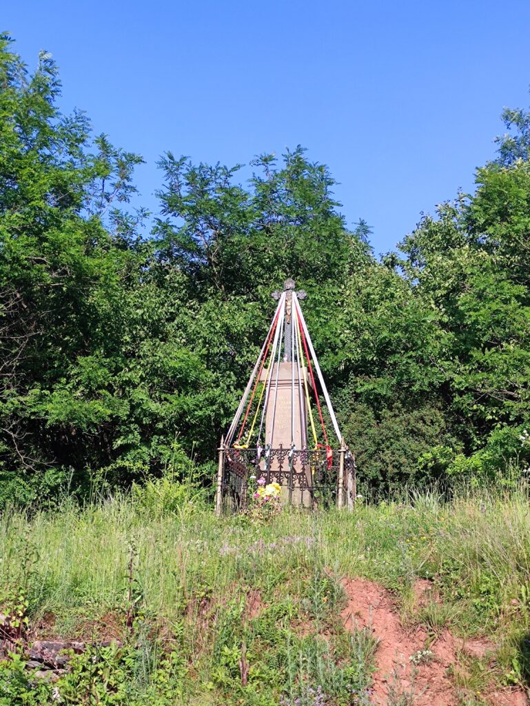
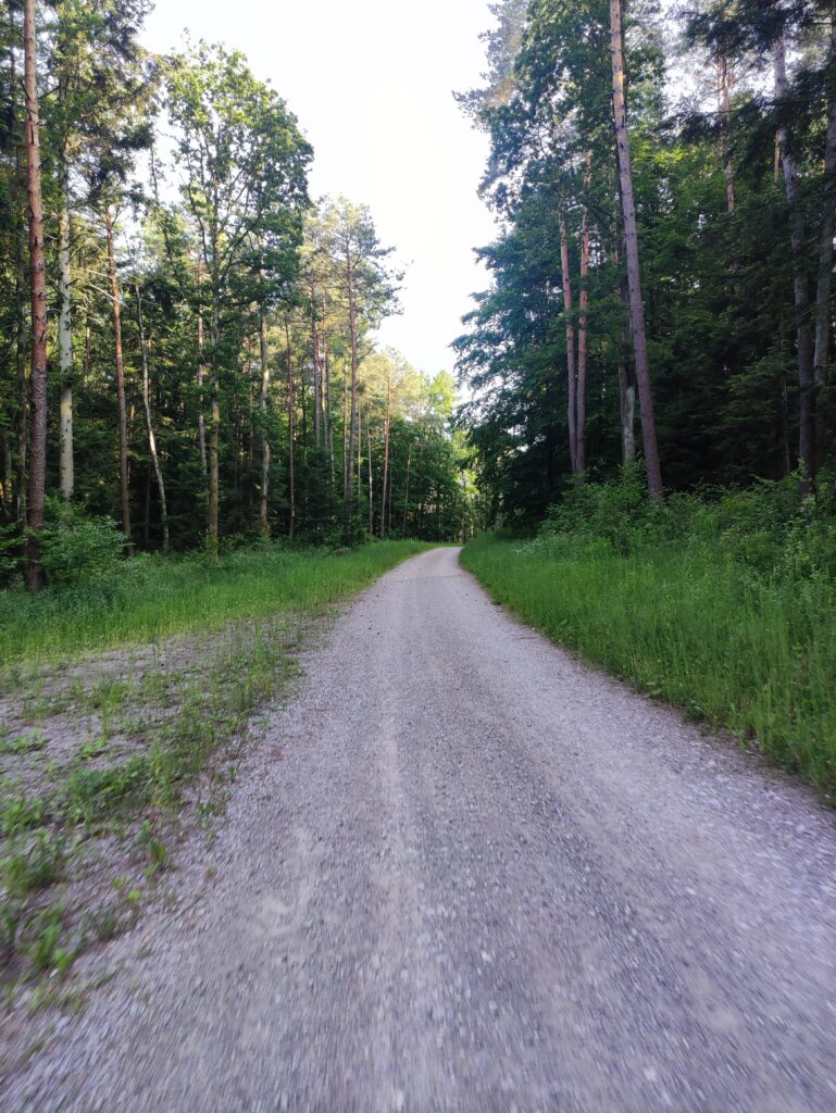
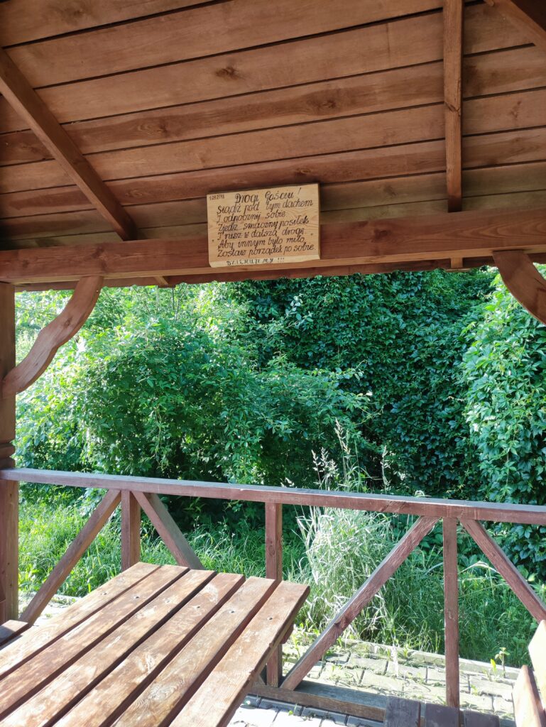
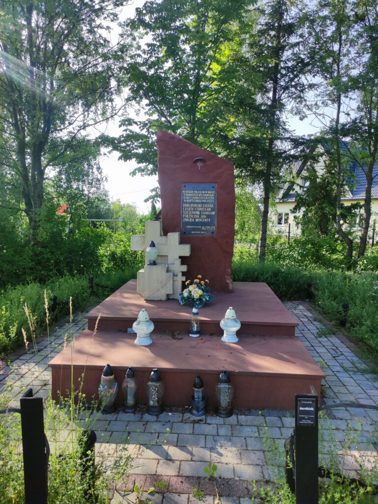
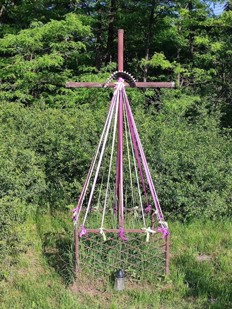
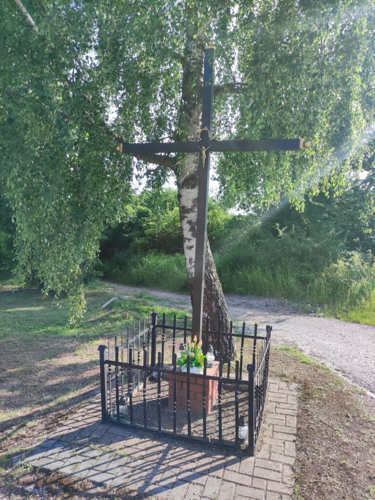
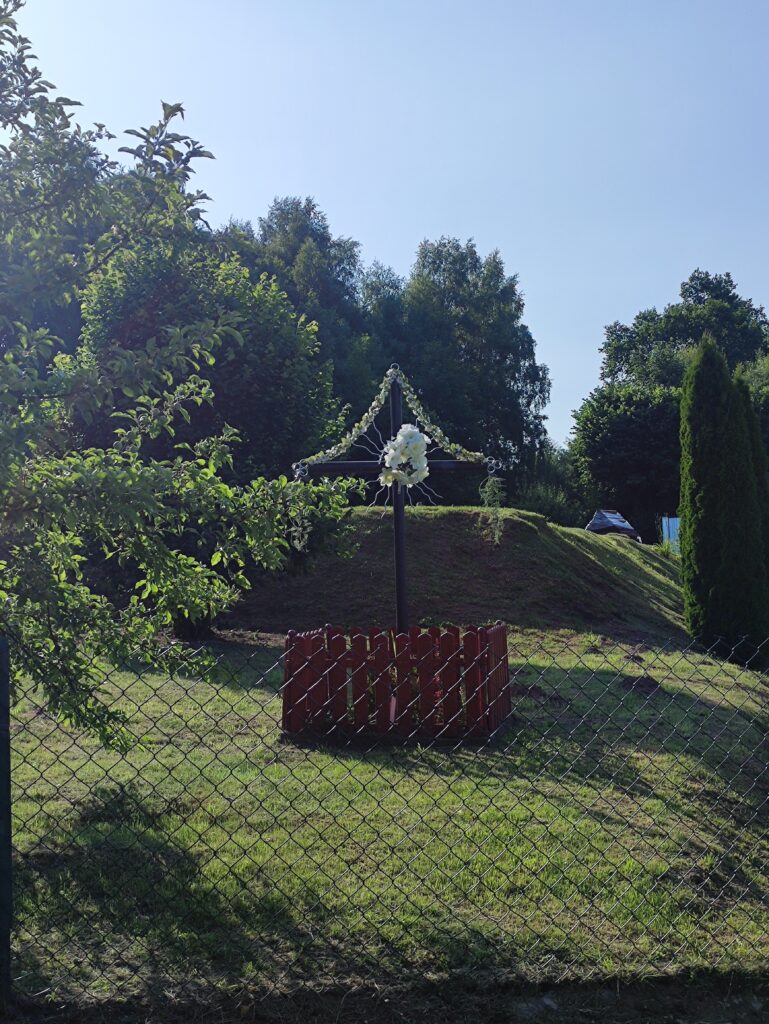
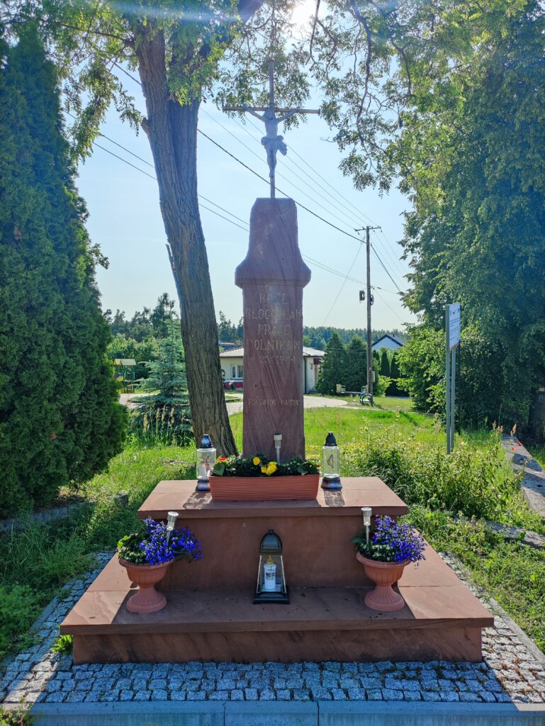
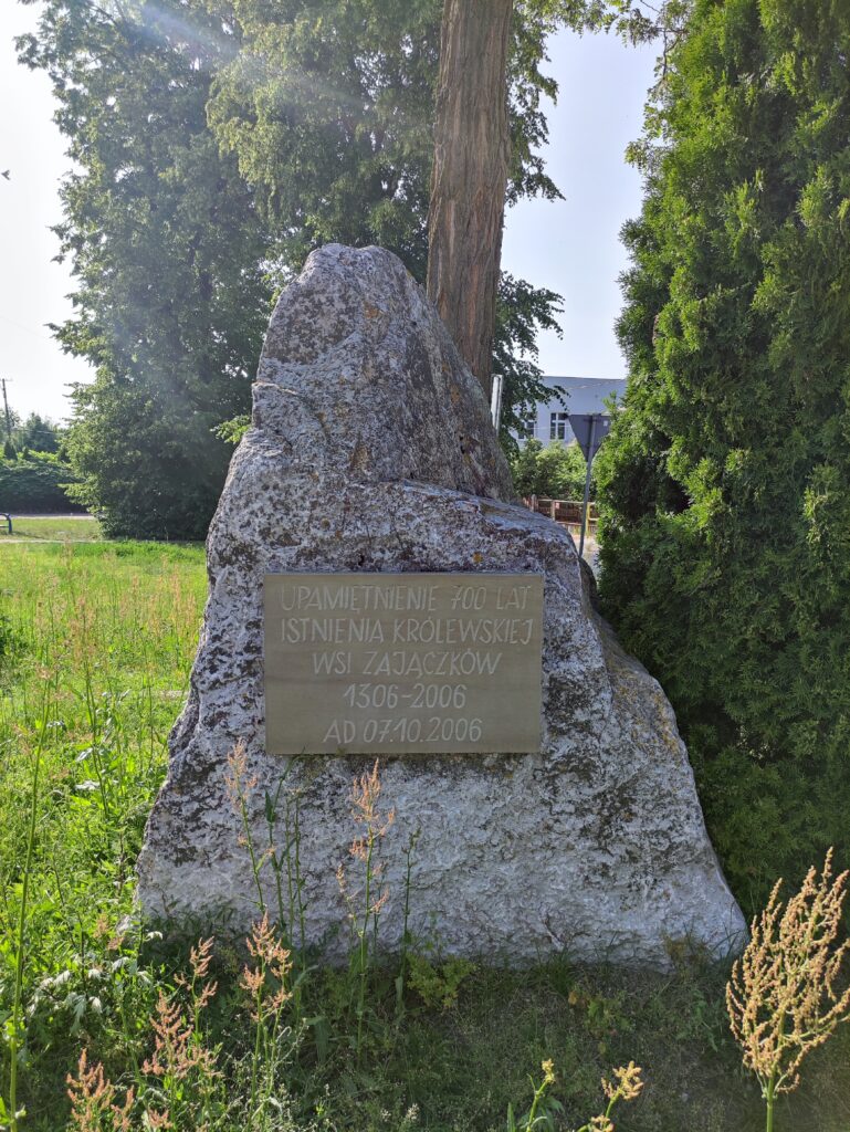
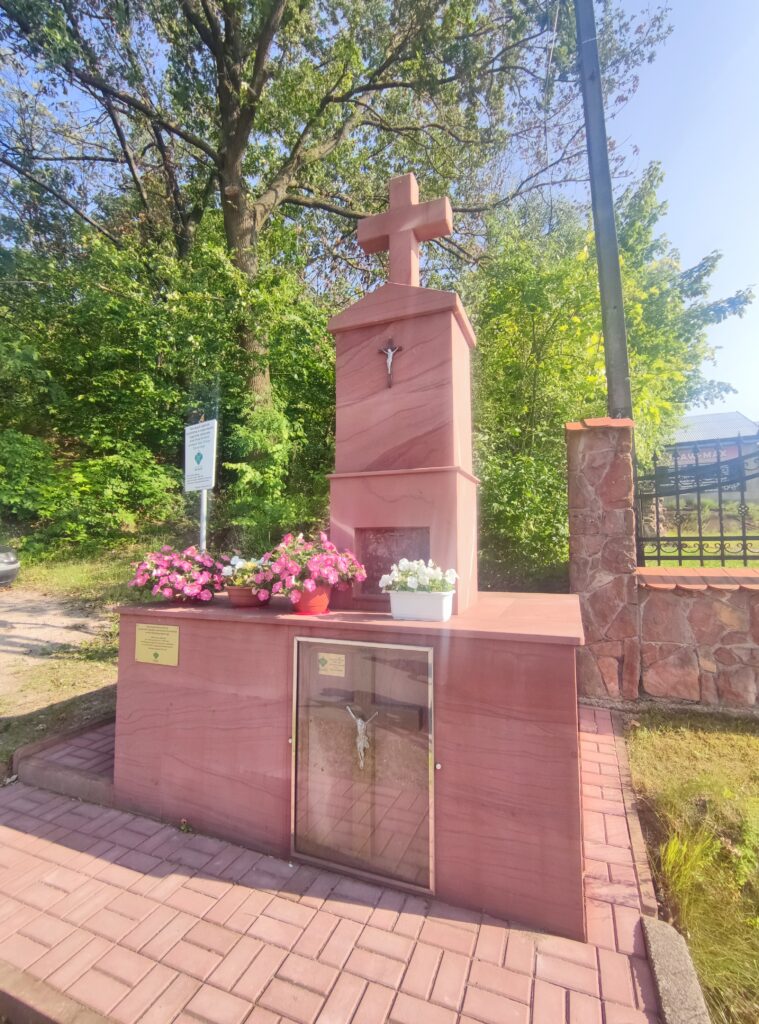
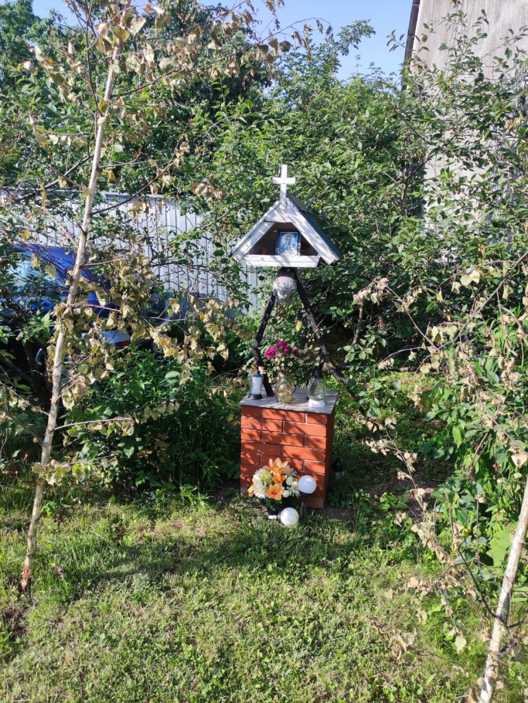
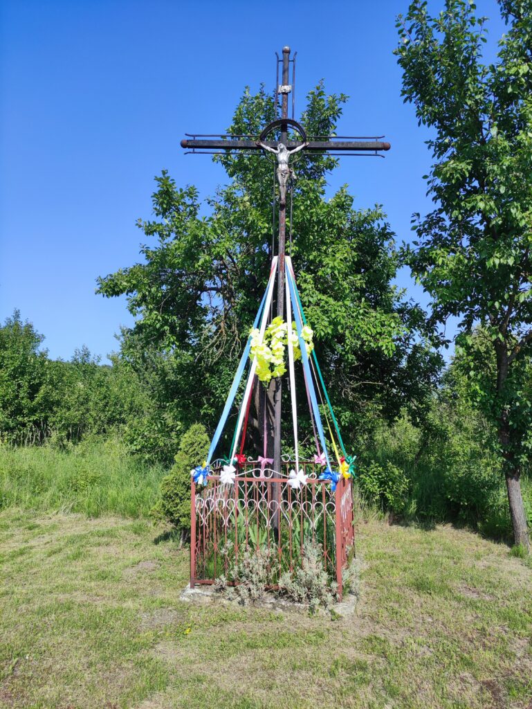
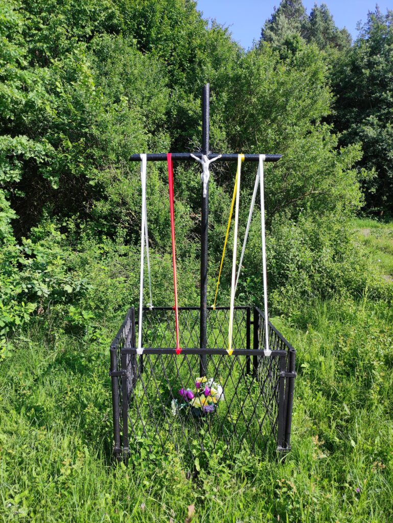
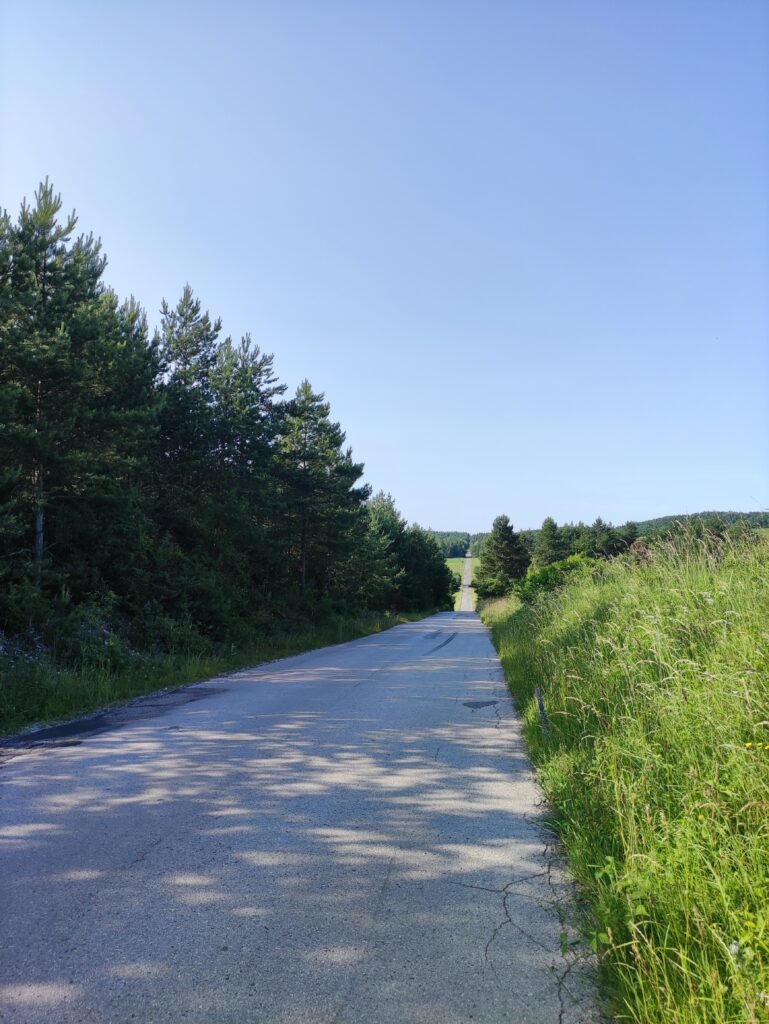
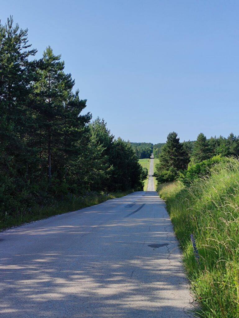
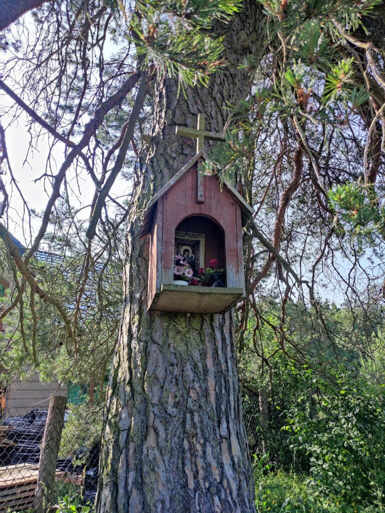
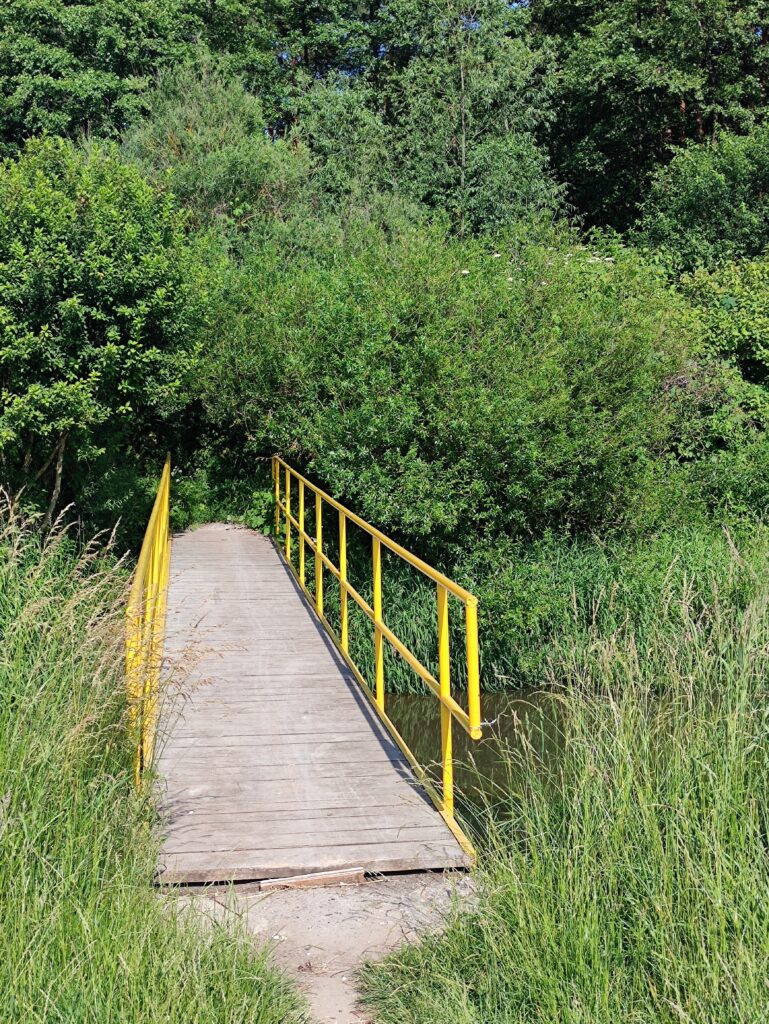
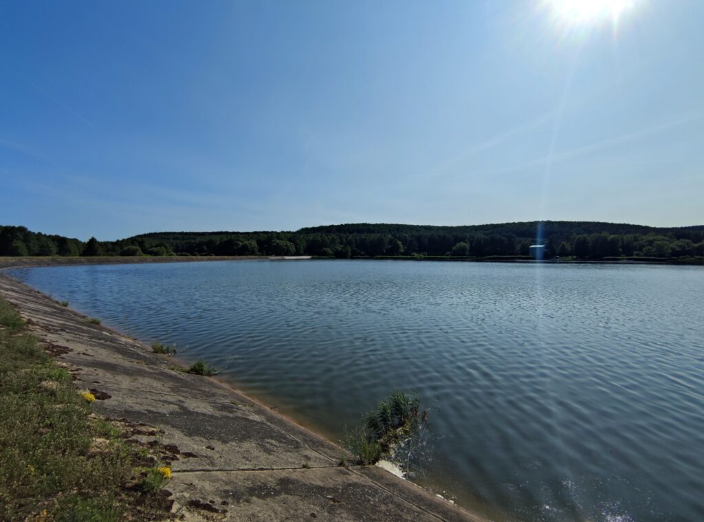
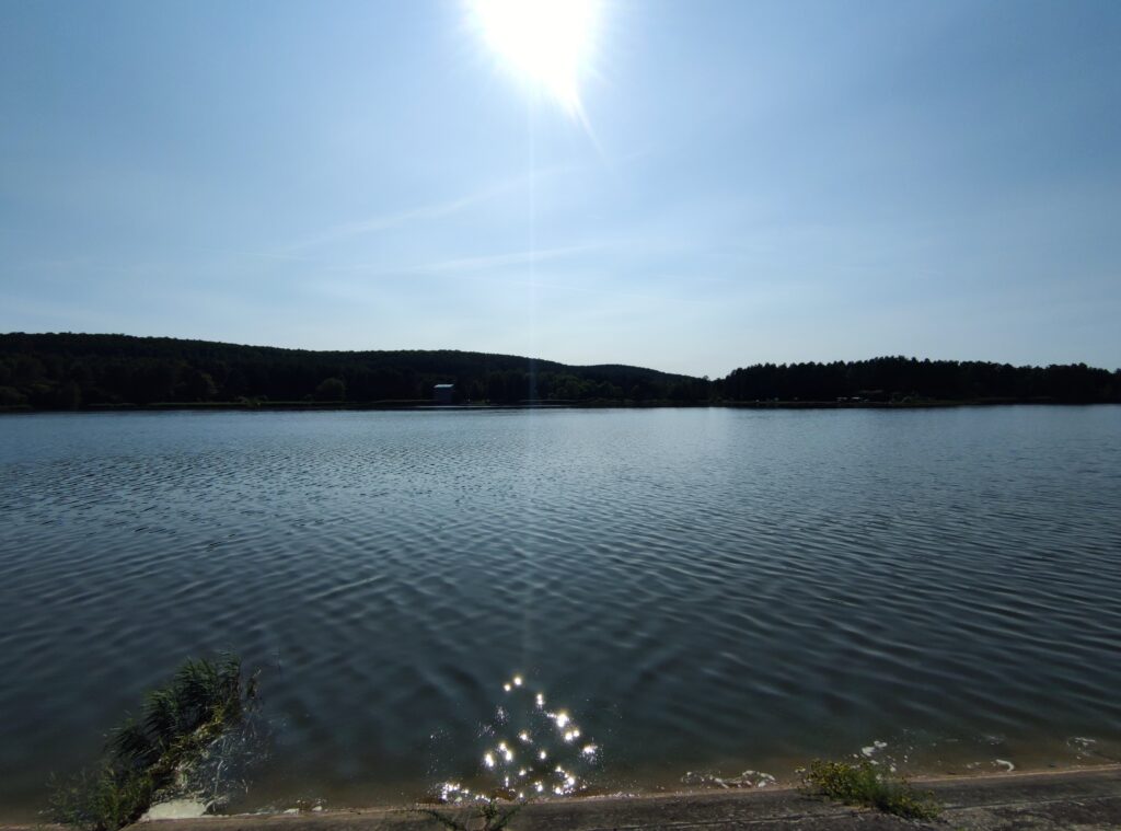
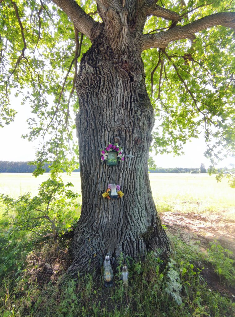
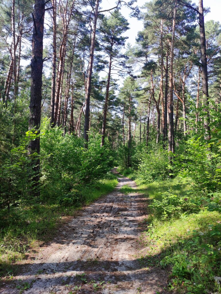
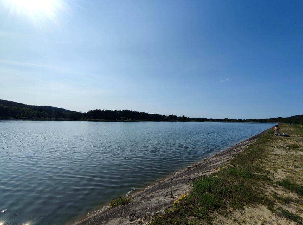
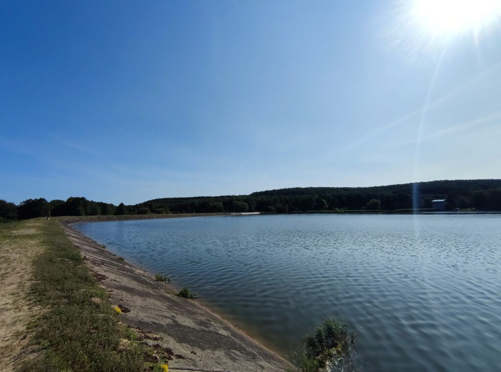
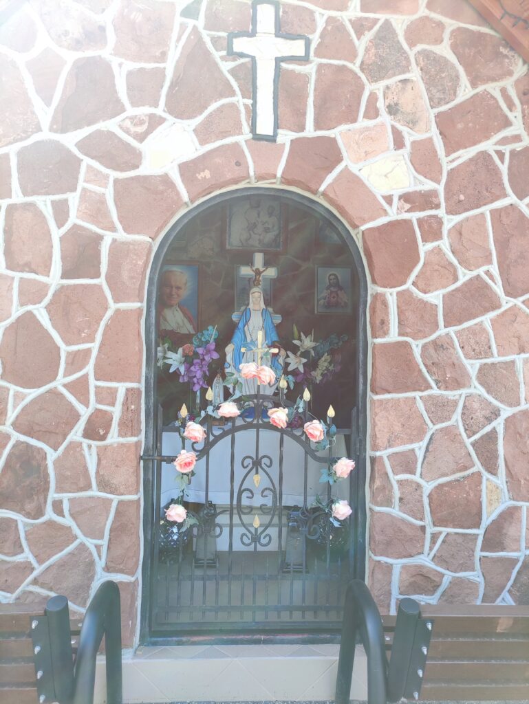
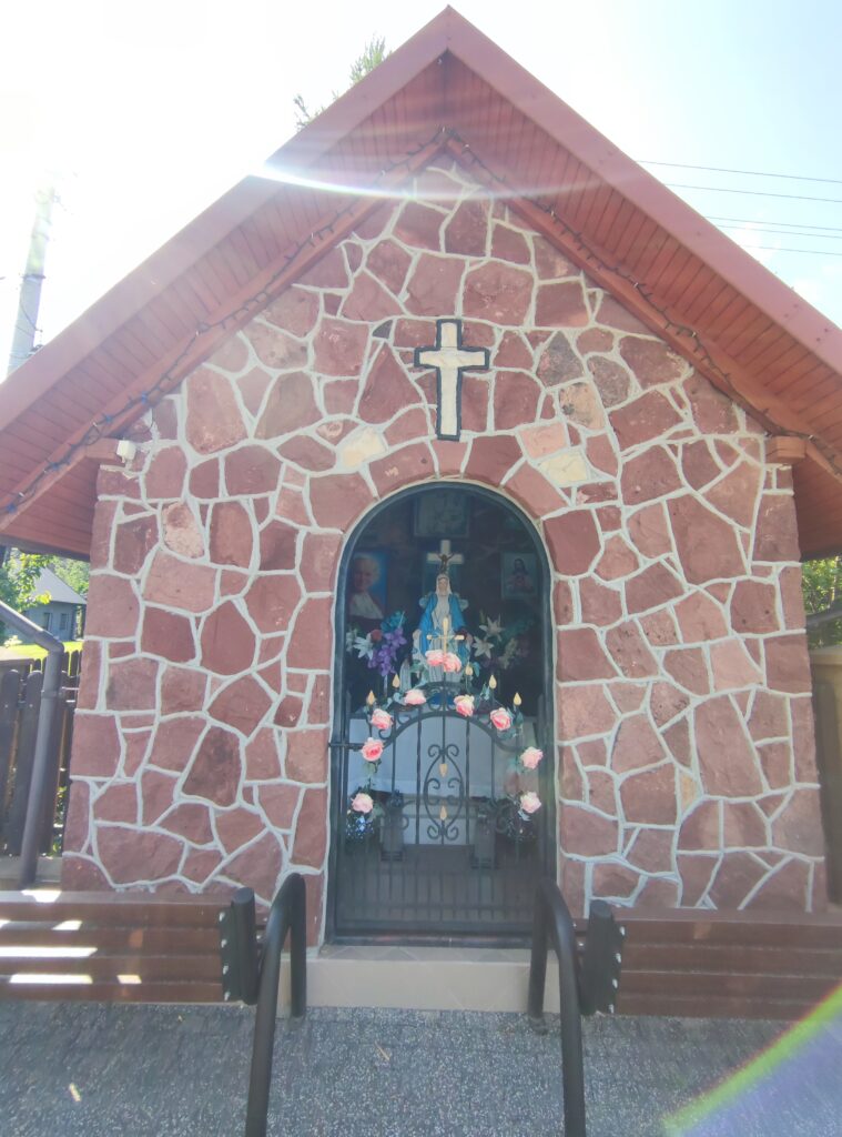
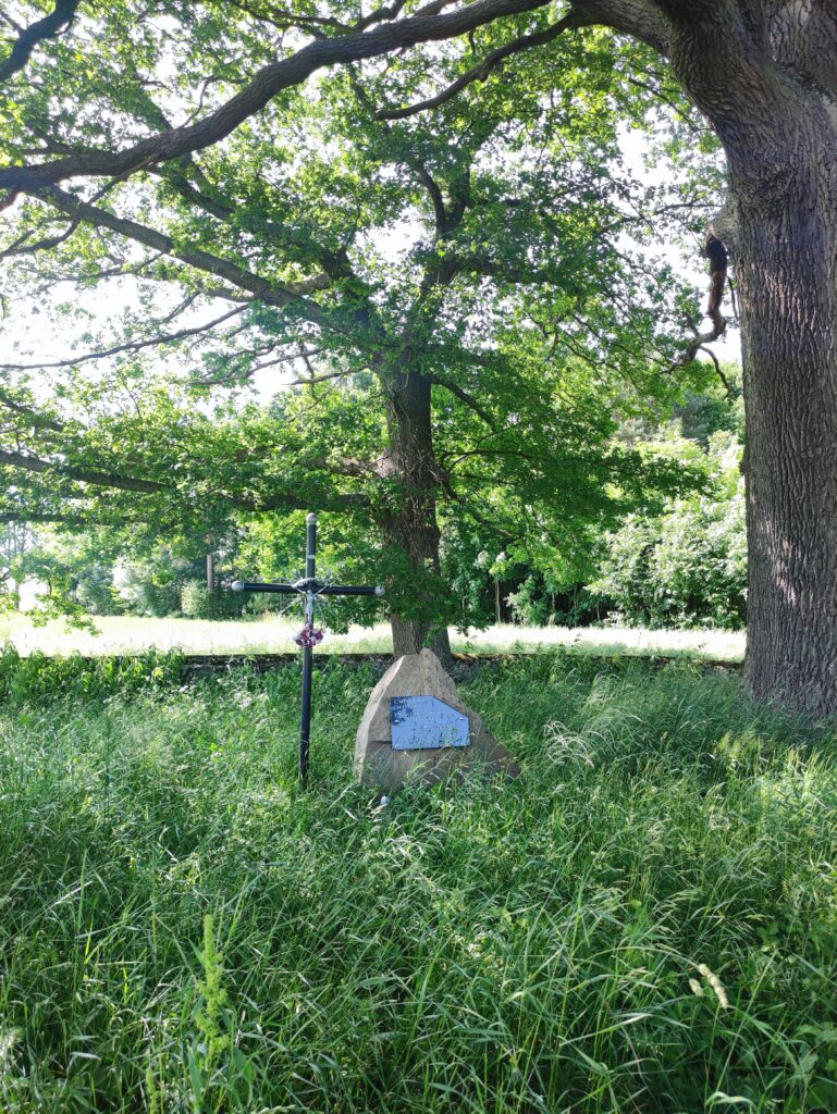
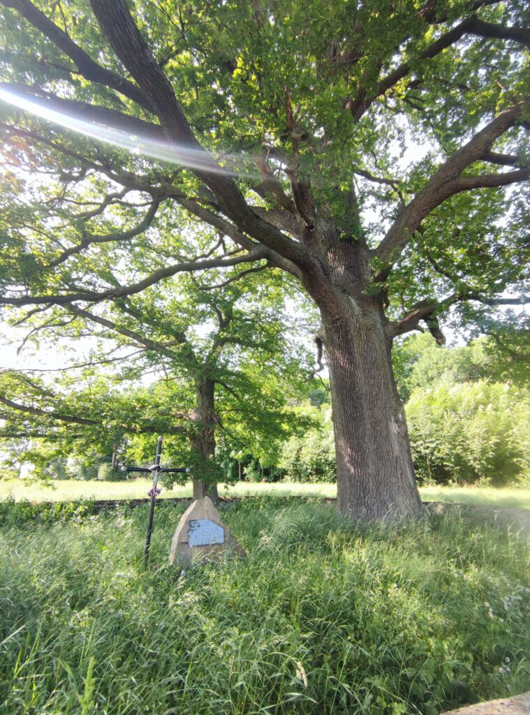
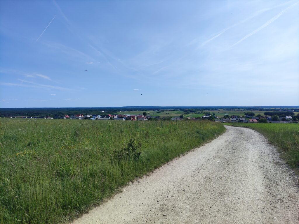
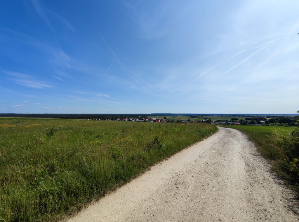
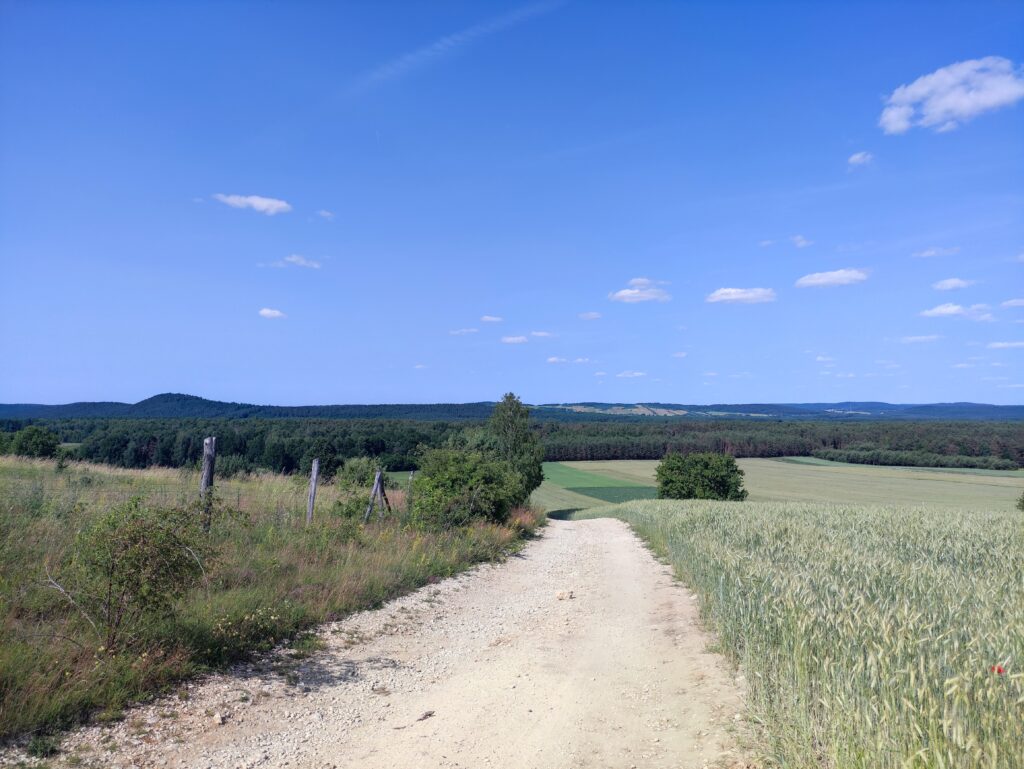
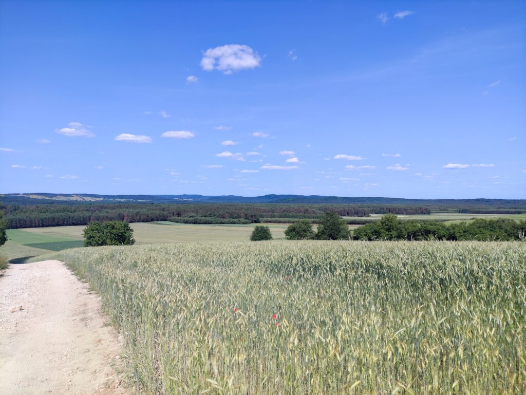
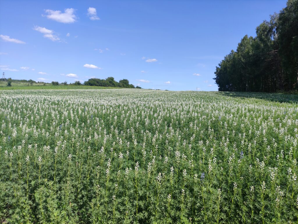
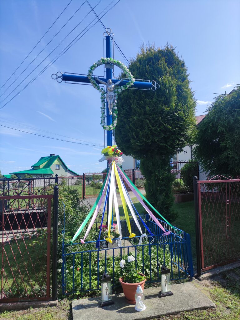
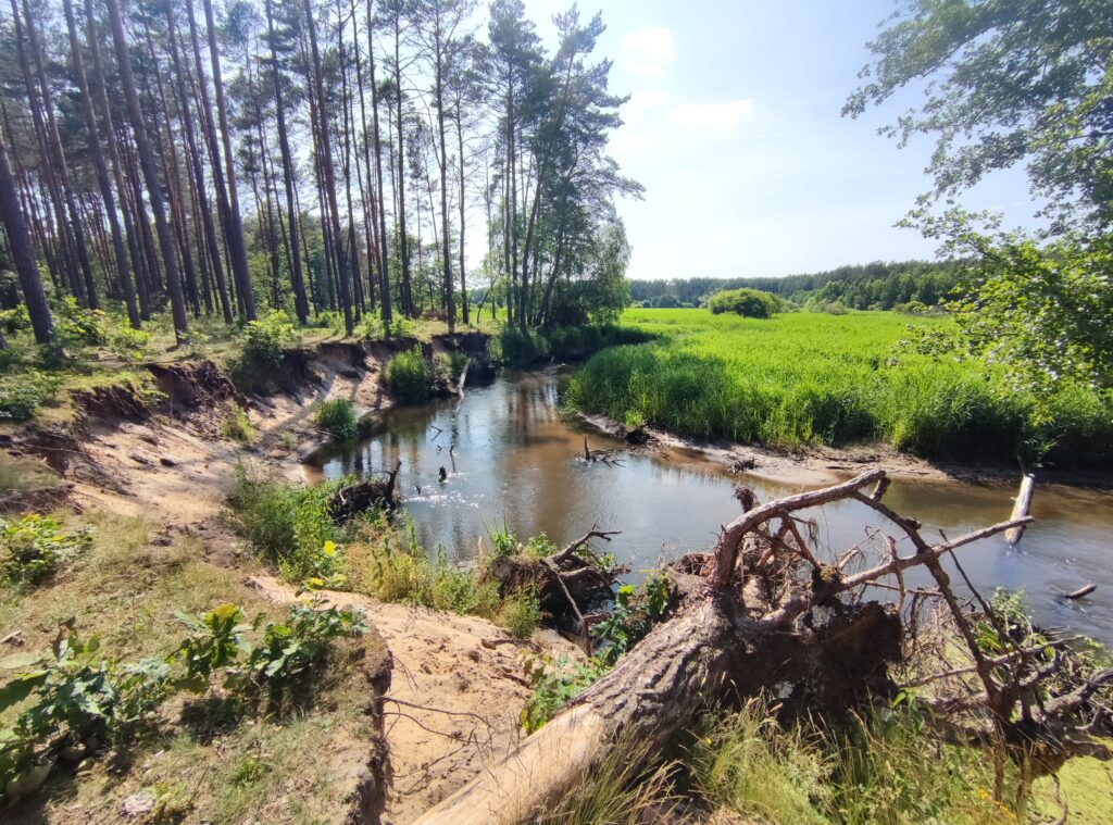
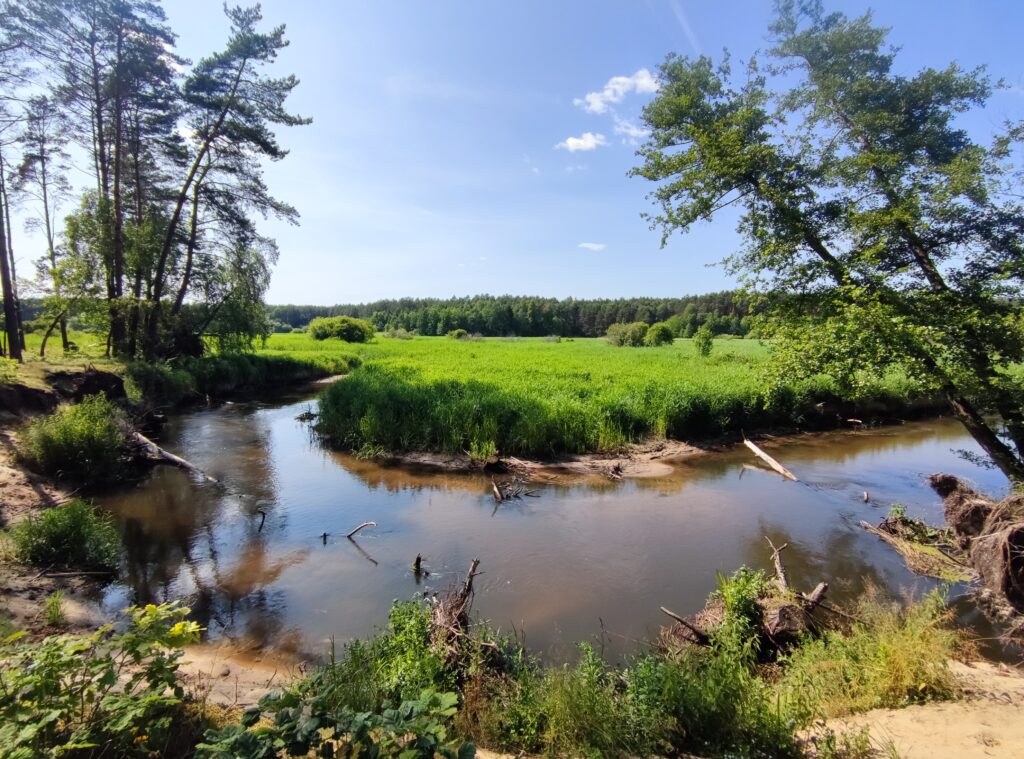
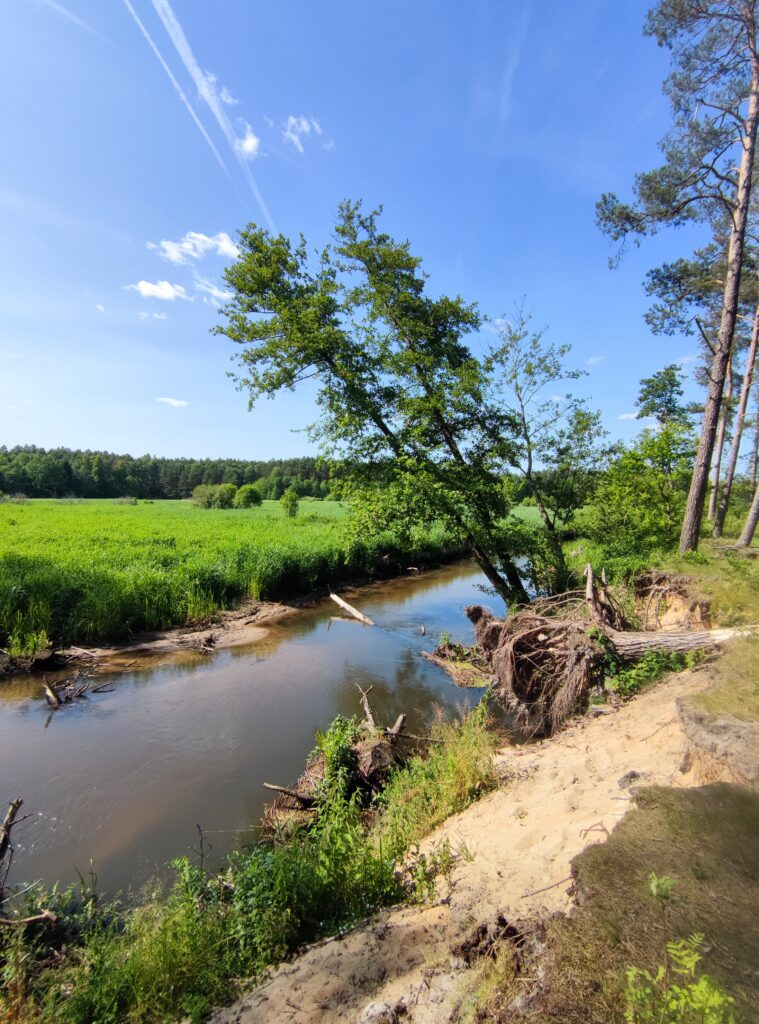
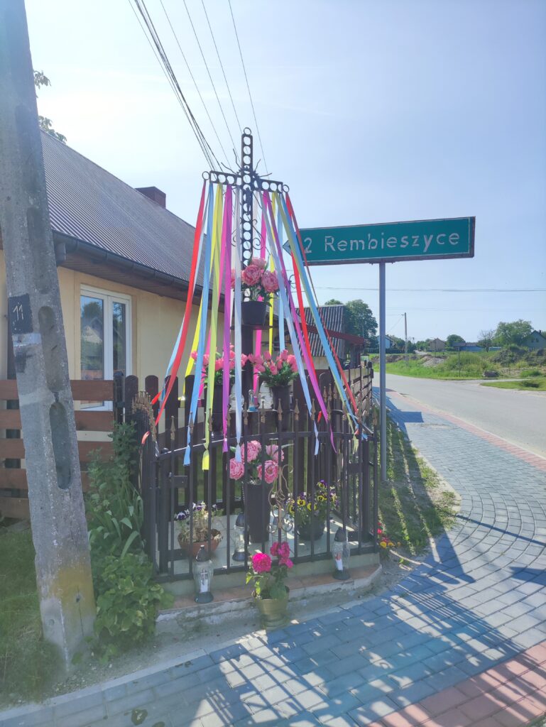
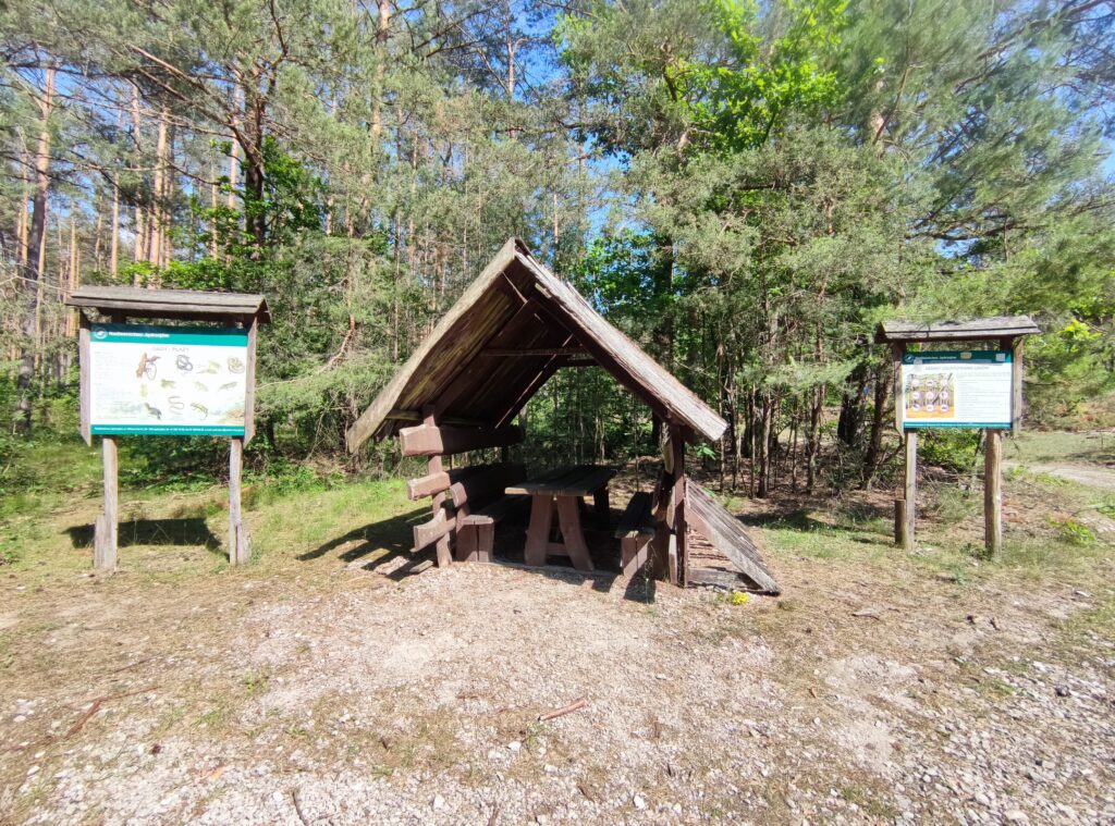
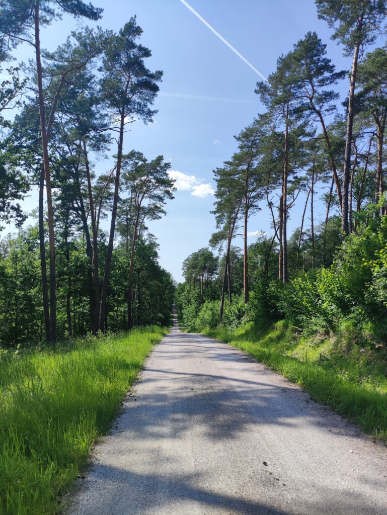
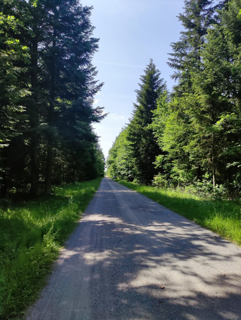
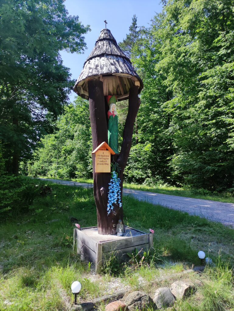
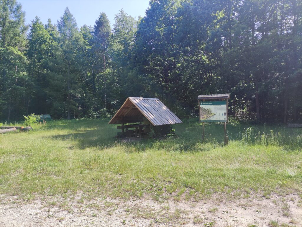
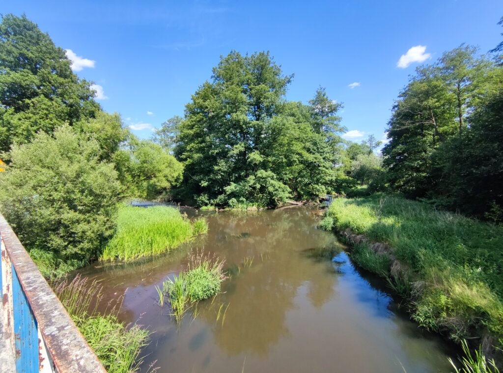
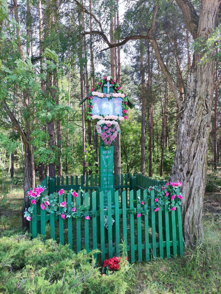
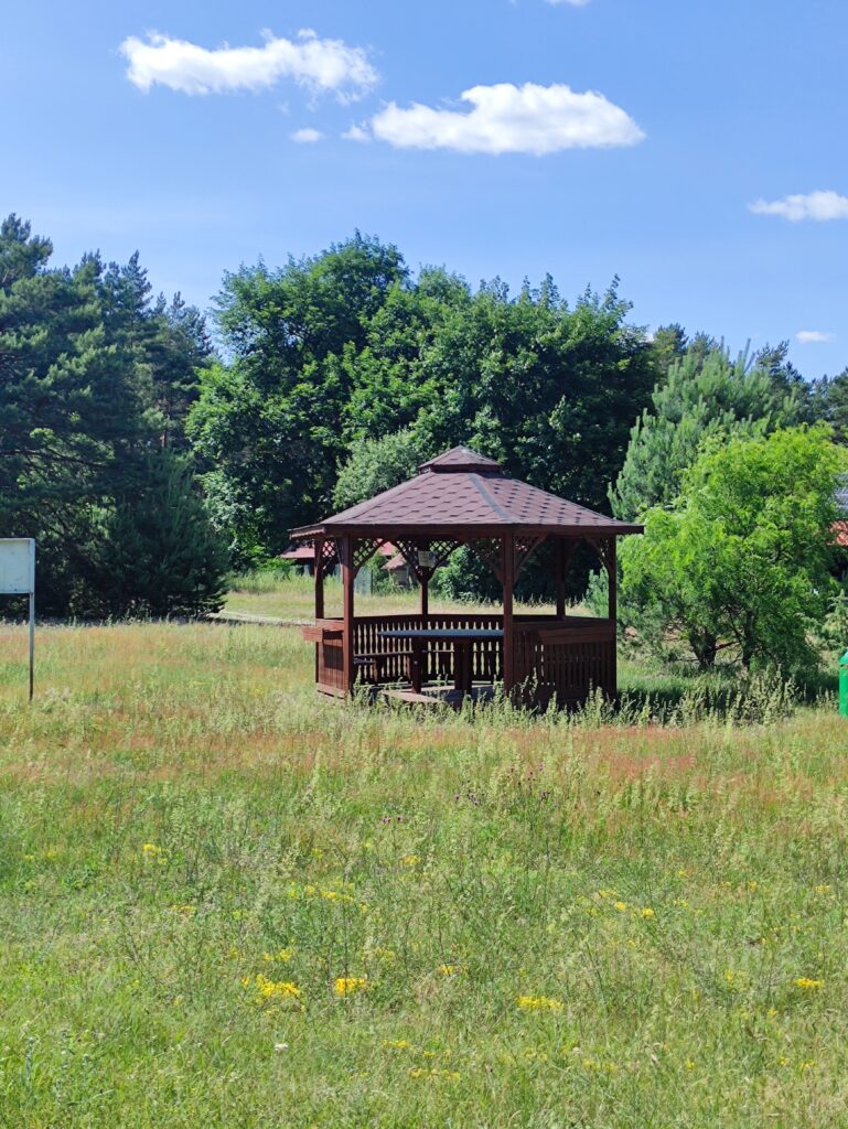
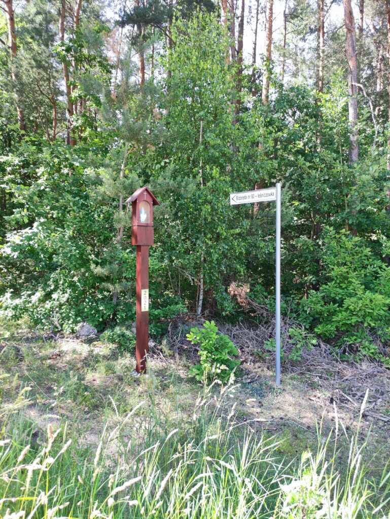
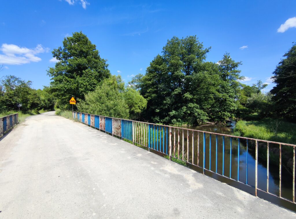
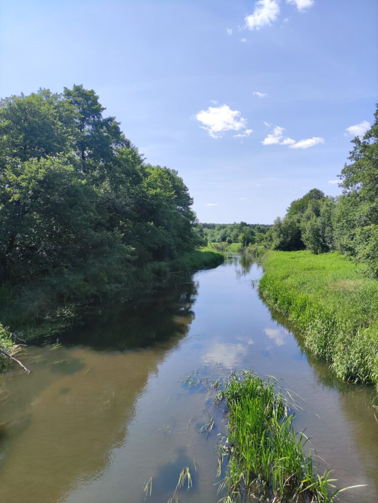
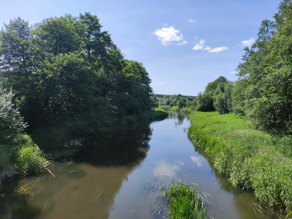
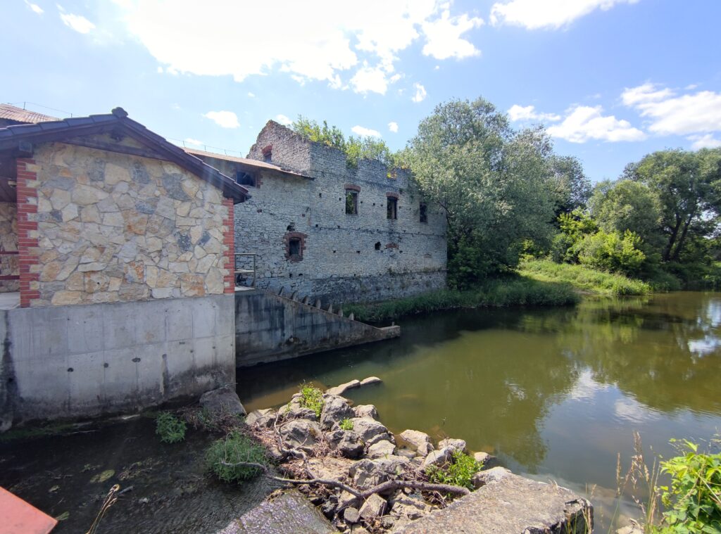
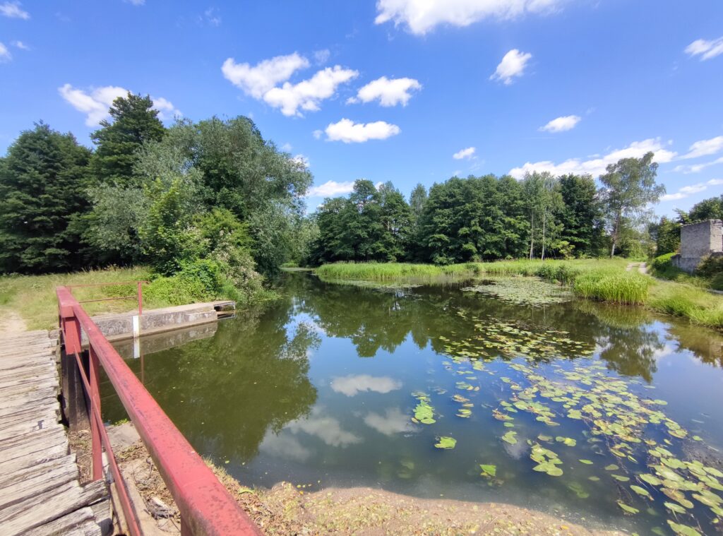
Zdjęcia na trasie

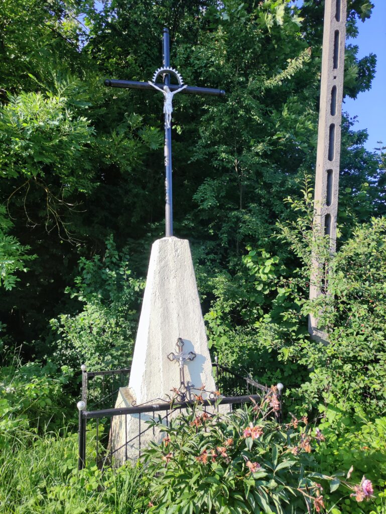
Trasa
| Podział | Dystans (km) | Czas trwania (min) | Różnica wysokości (m) | Średnia prędkość (m/s) |
|---|---|---|---|---|
| 1 | 1.05 | 3:22 | -10.2 | 6.2 |
| 2 | 0.96 | 2:38 | -0.2 | 6.68 |
| 3 | 1.00 | 6:6 | 3.6 | 4.28 |
| 4 | 1.00 | 4:63 | -5.8 | 4.16 |
| 5 | 1.01 | 3:87 | 2.2 | 4.37 |
| 6 | 1.01 | 2:9 | 0.6 | 5.78 |
| 7 | 0.99 | 2:93 | -4.8 | 5.64 |
| 8 | 0.98 | 4:15 | -0.6 | 4.91 |
| 9 | 1.01 | 3:38 | -1.8 | 5 |
| 10 | 1.00 | 3:35 | -0.6 | 5 |
| 11 | 1.01 | 3:45 | 1.4 | 4.86 |
| 12 | 0.97 | 3:15 | -1.4 | 5.14 |
| 13 | 1.02 | 2:93 | -1.2 | 5.79 |
| 14 | 0.98 | 3:63 | 1.6 | 4.5 |
| 15 | 1.02 | 7:52 | 9.4 | 3.88 |
| 16 | 1.00 | 3:53 | 6.6 | 4.7 |
| 17 | 0.99 | 3:75 | -13.4 | 4.38 |
| 18 | 1.00 | 3:97 | -6.4 | 4.21 |
| 19 | 1.00 | 2:72 | -1.2 | 6.1 |
| 20 | 1.01 | 3:1 | 2.4 | 5.45 |
| 21 | 1.02 | 3:13 | 9.2 | 5.42 |
| 22 | 0.99 | 2:65 | -11 | 6.21 |
| 23 | 0.99 | 3:43 | -0.4 | 4.8 |
| 24 | 1.01 | 9:37 | -1.8 | 3.48 |
| 25 | 0.98 | 5:15 | 13.4 | 3.5 |
| 26 | 1.02 | 6:12 | 21.6 | 3.49 |
| 27 | 0.99 | 3:67 | -18.2 | 5.03 |
| 28 | 0.99 | 6:75 | -9.4 | 4.07 |
| 29 | 1.01 | 5:55 | 2 | 3.62 |
| 30 | 1.02 | 5:78 | -1.2 | 3.72 |
| 31 | 0.97 | 3:57 | 12.8 | 4.52 |
| 32 | 1.01 | 3:93 | 11.6 | 4.28 |
| 33 | 1.00 | 7:77 | 29.4 | 3.28 |
| 34 | 1.02 | 7:85 | -38.8 | 3.28 |
| 35 | 0.99 | 4:25 | -8.8 | 4.51 |
| 36 | 0.98 | 4:33 | 3.6 | 4.19 |
| 37 | 1.01 | 7:25 | 1.8 | 2.8 |
| 38 | 1.00 | 7:37 | 6 | 2.47 |
| 39 | 1.01 | 12:05 | -4.6 | 2.18 |
| 40 | 0.99 | 6:25 | 11.6 | 2.67 |
| 41 | 1.02 | 6:38 | 33.2 | 3.53 |
| 42 | 0.98 | 3:4 | -9.4 | 5.76 |
| 43 | 1.02 | 3:25 | -8.8 | 7.1 |
| 44 | 0.97 | 3:93 | 12 | 4.5 |
| 45 | 1.02 | 6:92 | 21 | 3.64 |
| 46 | 1.01 | 5:27 | 13.4 | 4.09 |
| 47 | 0.98 | 4 | -11.2 | 5.19 |
| 48 | 1.01 | 8:07 | -17.4 | 4.07 |
| 49 | 0.99 | 3:12 | 1 | 5.31 |
| 50 | 0.99 | 2:75 | -7.2 | 6.02 |
| 51 | 1.03 | 13:18 | -7.6 | 4.28 |
| 52 | 1.01 | 2:98 | -10.8 | 5.64 |
| 53 | 0.97 | 3:27 | 14.2 | 4.95 |
| 54 | 1.04 | 5:87 | 20.4 | 4.84 |
| 55 | 0.98 | 2:45 | -18.2 | 6.68 |
| 56 | 0.99 | 5:32 | 8.4 | 3.19 |
| 57 | 1.00 | 4:08 | 14.2 | 4.07 |
| 58 | 0.99 | 3:4 | 5 | 4.86 |
| 59 | 1.01 | 3:67 | 7 | 4.6 |
| 60 | 0.99 | 11:4 | -0.8 | 4.57 |
| 61 | 1.02 | 3:78 | -15.6 | 5.54 |
| 62 | 0.98 | 2:95 | -3.2 | 5.53 |
| 63 | 1.00 | 2:8 | 0.4 | 5.93 |
| 64 | 1.01 | 2:82 | -6.4 | 6.18 |
| 65 | 1.01 | 2:17 | -8.8 | 7.76 |
| 66 | 0.98 | 2:02 | -5.8 | 8.13 |
| 67 | 1.01 | 2:17 | -14.2 | 7.77 |
| 68 | 0.99 | 2:67 | -3 | 6.17 |
| 69 | 1.00 | 2:5 | -0.2 | 6.69 |
| 70 | 1.00 | 2:82 | -1 | 5.93 |
| 71 | 1.00 | 3:35 | 5.6 | 4.96 |
| 72 | 1.00 | 2:73 | 7.8 | 6.08 |
| 73 | 1.01 | 2:9 | 27.6 | 5.82 |
| 74 | 1.00 | 2:53 | 1.2 | 6.58 |
| 75 | 1.00 | 2:42 | -11.6 | 6.9 |
| 76 | 1.03 | 6:7 | -3.2 | 5.79 |
| 77 | 0.98 | 3 | 0.4 | 5.42 |
| 78 | 1.01 | 2:95 | 0.6 | 5.7 |
| 79 | 0.98 | 2:47 | -10 | 6.64 |
| 80 | 1.01 | 3:07 | -6.2 | 5.47 |
| 81 | 0.99 | 2:78 | -10.2 | 5.95 |
| 82 | 1.00 | 3:38 | -1.8 | 4.92 |
| 83 | 1.00 | 7:02 | 0.8 | 3.41 |
| 84 | 1.00 | 3:35 | 4 | 5.2 |
| 85 | 1.01 | 3:75 | 2.2 | 4.47 |
| 86 | 1.00 | 2:83 | 6.4 | 5.89 |
| 87 | 0.20 | 0:88 | 0.8 | 4.61 |
Miejscowości
- województwo świętokrzyskie
- powiat jędrzejowski
- gmina Sobków
- Choiny
- Żerniki
- Bizoręda
- Bizorędki
- gmina Małogoszcz
- Bocheniec
- Zakrucze
- Karsznice
- gmina Sobków
- powiat kielecki
- gmina Piekoszów
- Zajączków
- Lesica
- Gałęzice
- Rykoszyn
- gmina Chęciny
- Tokarnia
- Miedzianka
- Podzamcze
- Mosty
- Bolmin
- Ostrów
- Wolica
- Korzecko
- Chęciny
- gmina Nowiny
- Kowala
- Wola Murowana
- Szewce
- Trzcianki
- Bolechowice
- gmina Morawica
- Wola Morawicka
- Zbrza
- Bieleckie Młyny
- Piaseczna Górka
- Bilcza
- Łabędziów
- Morawica
- gmina Piekoszów
- powiat jędrzejowski
Strava segmenty
| Nazwa | Czas trwania (s) | Czas w ruchu (s) | Odległość (m) | Średnie nachylenie (%) | Maksymalne nachylenie (%) | Wysokość maks. | Wysokość min. |
|---|---|---|---|---|---|---|---|
| Spacerowa-Kielecka | 122 | 122 | 637.8 | -0.5 | 6.3 | 237.4 | 224.2 |
| Wojda - Wolica | 875 | 821 | 4151.9 | 0 | 2.8 | 223.7 | 218.4 |
| Mosty -> Choiny | 643 | 361 | 1358 | 0 | 2.2 | 213.2 | 209.9 |
| Choiny do zakretu | 373 | 370 | 1198.7 | 2 | 7.7 | 238.9 | 215 |
| Przez Las na Bizorędę | 630 | 604 | 2454.5 | -0.3 | 10.4 | 255.7 | 231.4 |
| Zjazd w lesie | 118 | 106 | 521.2 | -3.5 | 1.1 | 254.9 | 236.3 |
| lasem | 453 | 392 | 1424.4 | -1.2 | 2.5 | 232.5 | 213.9 |
| Hopka po kamieniach | 681 | 374 | 1198.6 | -1 | 29.1 | 271.8 | 230 |
| Wzgórze Karsznickie | 314 | 185 | 551.2 | 5.4 | 15.1 | 274 | 244 |
| Gajówka | 129 | 129 | 577.4 | 3.8 | 7.6 | 271.2 | 249 |
| Milechowska Góra-w stronę Zajączkowa | 102 | 99 | 552.7 | 3 | 6.3 | 273.6 | 256.5 |
| Milechowska G.-zjazd w str. Zajączkowa | 101 | 101 | 497.8 | -5.6 | 1.1 | 273.4 | 245.2 |
| Miedzianka Up | 219 | 204 | 733.3 | 2.6 | 6.5 | 307.4 | 287.4 |
| Skałka(od zakładu) - Gałęzice(skrzyżowanie) | 575 | 575 | 2898.6 | 1.3 | 13.1 | 286.7 | 237.7 |
| Gałęzice up (od zakładu) | 398 | 354 | 1674.3 | 2.9 | 13.1 | 286.6 | 237.7 |
| Galezice-Zelejowa up | 641 | 641 | 2993 | 1 | 5.9 | 308 | 276.2 |
| Zelejowa na północ wiadukt | 72 | 72 | 386 | 0.9 | 8.1 | 288.2 | 280.6 |
| Czerwona Góra - Wola Murowana | 433 | 433 | 3371.8 | -0.6 | 6.1 | 264.1 | 234.1 |
| Bolechowice | 273 | 273 | 2316.4 | -0.8 | 8.2 | 260.2 | 240 |
| Sitkówka-Kowala I HOP | 636 | 636 | 3857.1 | 1 | 6.5 | 273 | 230.3 |
| Kowala do Bilcza Folwark | 1199 | 975 | 5877.9 | 0.2 | 8.2 | 274.8 | 238 |
| Kowala p | 236 | 236 | 1350.9 | 2.5 | 7.1 | 272.2 | 238.2 |
| Kowala - Bilcza | 559 | 559 | 3671.9 | 0.5 | 7.4 | 273 | 237 |
Punkty GPS na trasie
Wszystkie: 2704Uproszczone: 399