15.08.2024 15:25
Ride
-
Dystans
60.92 km
-
Średnia prędkość
22.08 km/h
-
Maksymalna prędkość
50.85 km/h
-
Czas ruchu
02:45
-
Całkowity czas
02:54
-
Najniższa wysokość
226.4 m
-
Najwyższa wysokość
300 m
-
Suma przewyższeń
336 m
-
Kalorie
1939
-
Kwadraty
38
-
Osiągnięcia
3
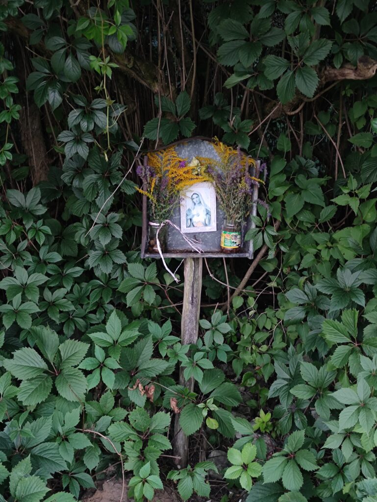
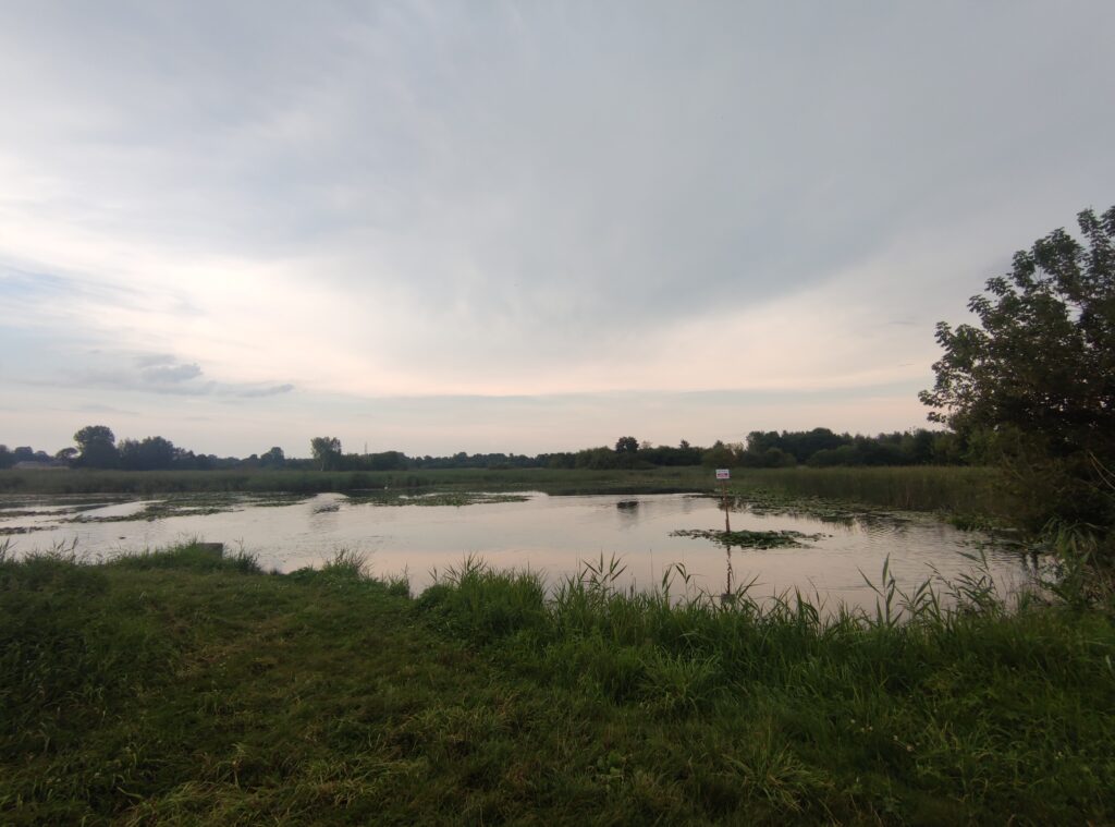
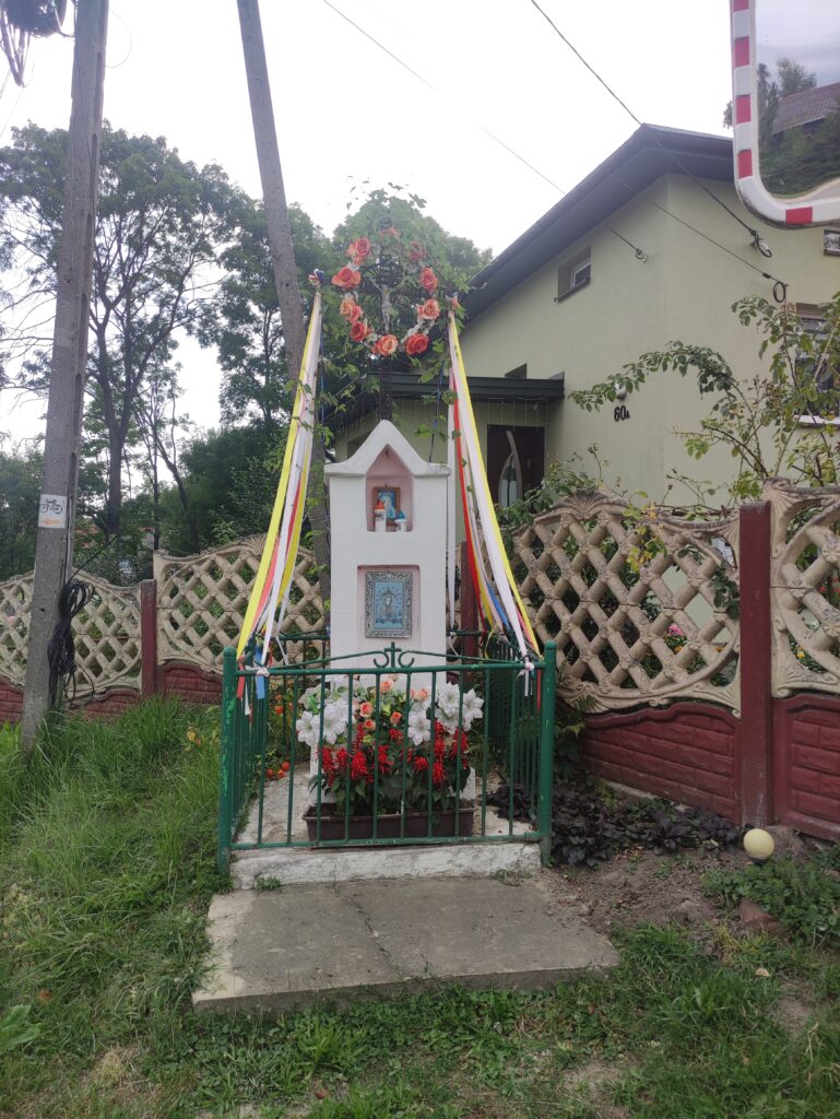
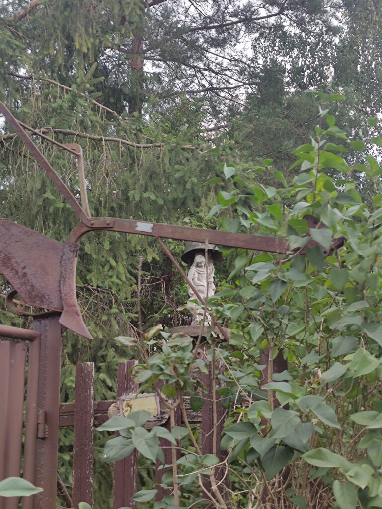
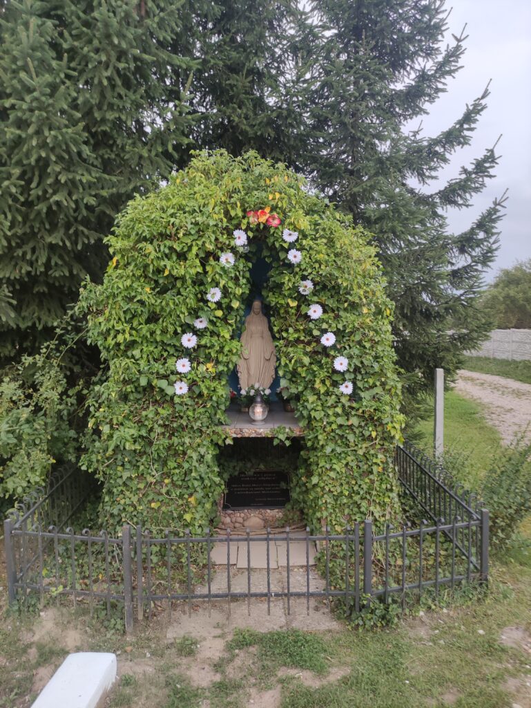
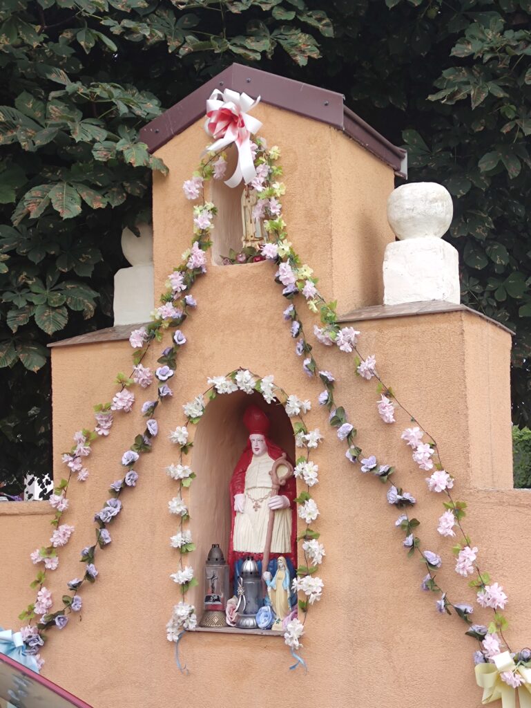
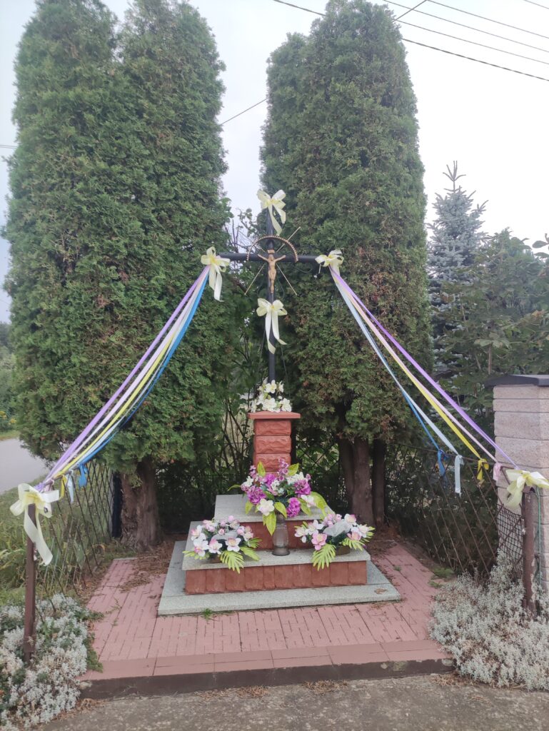
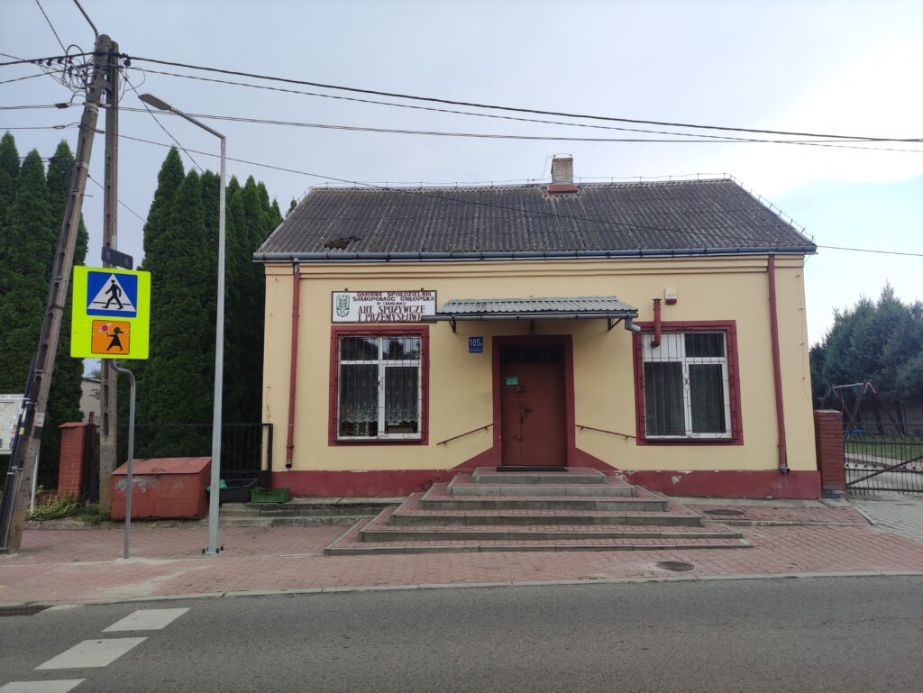
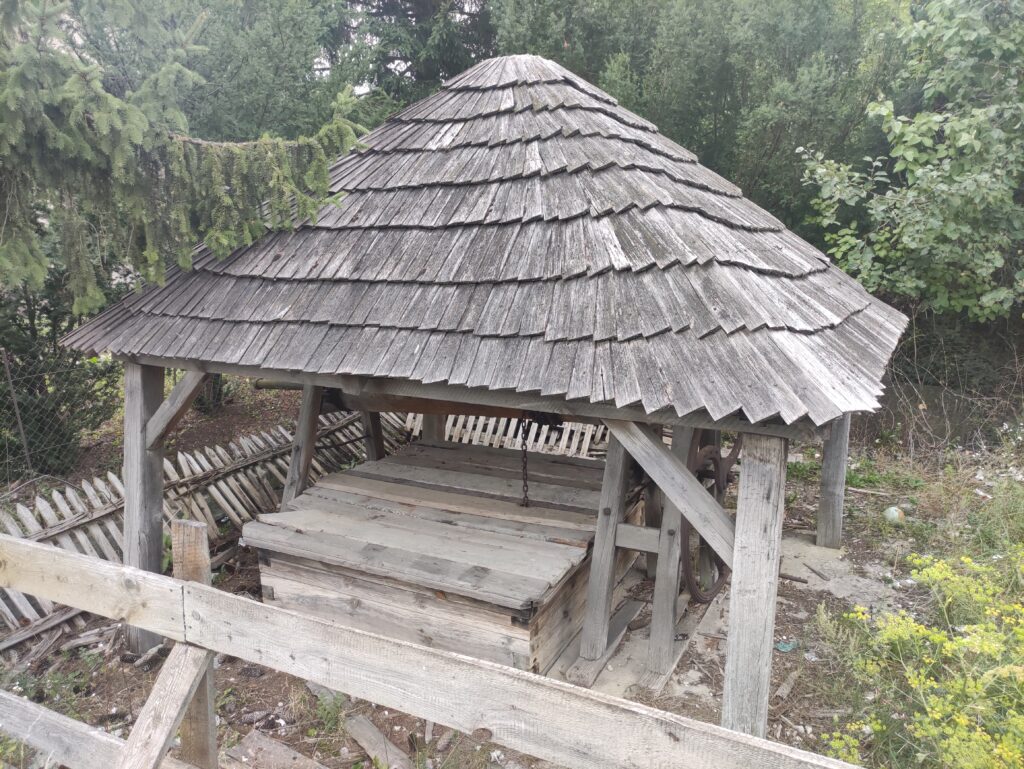
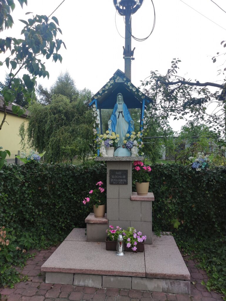
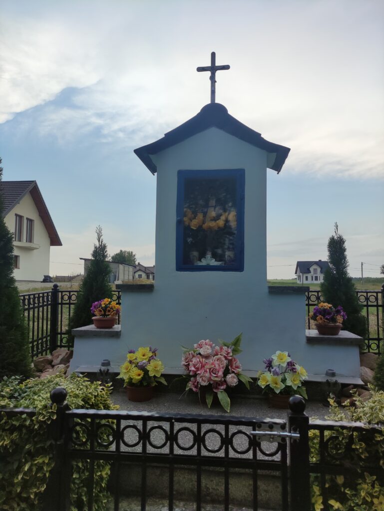
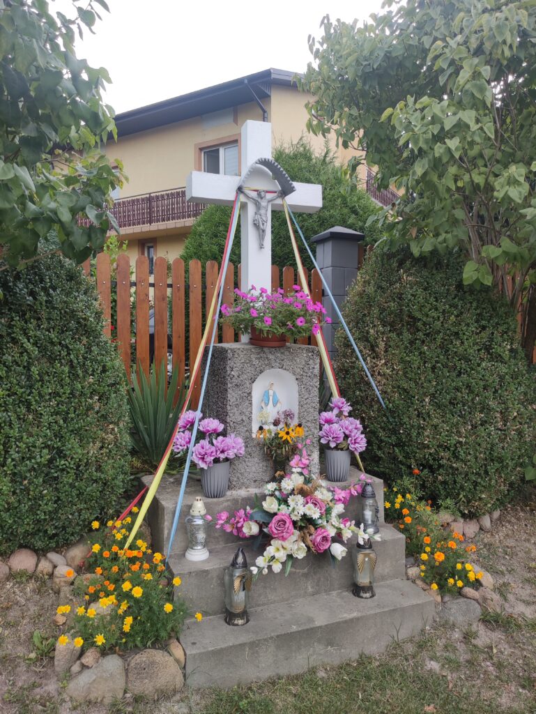
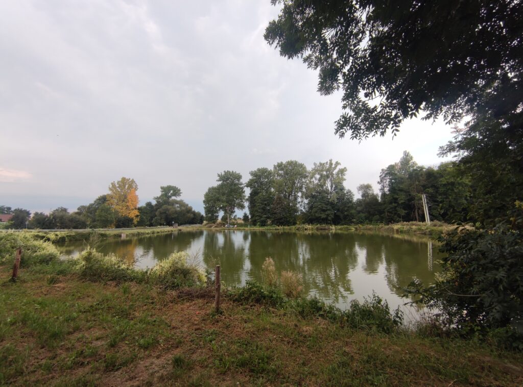
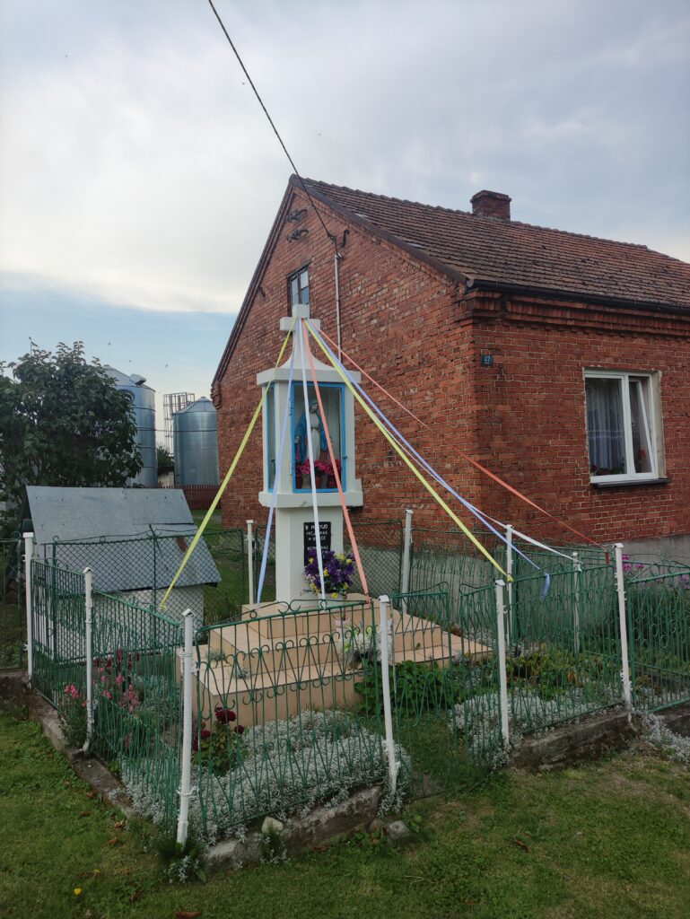
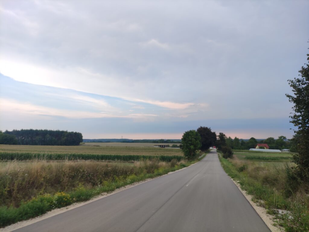
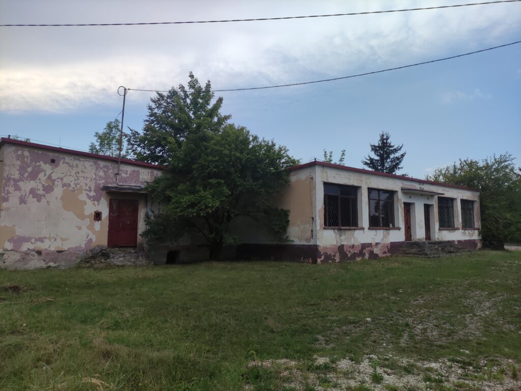
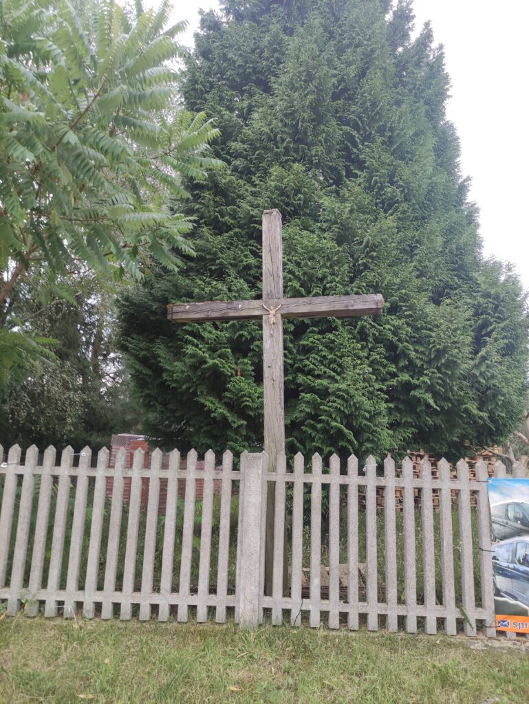
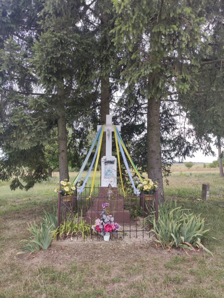
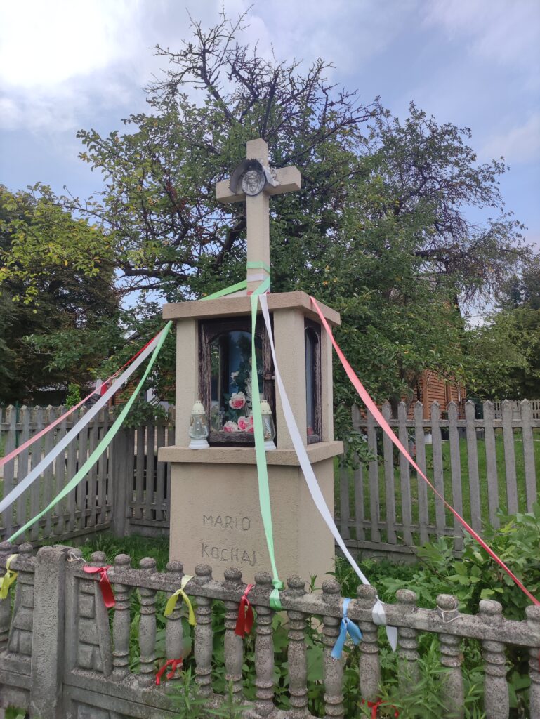
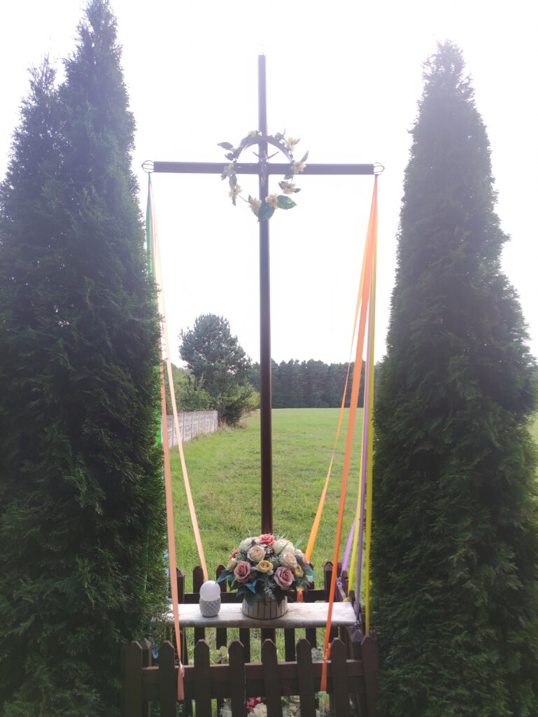
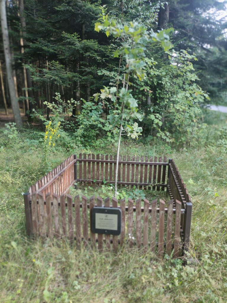
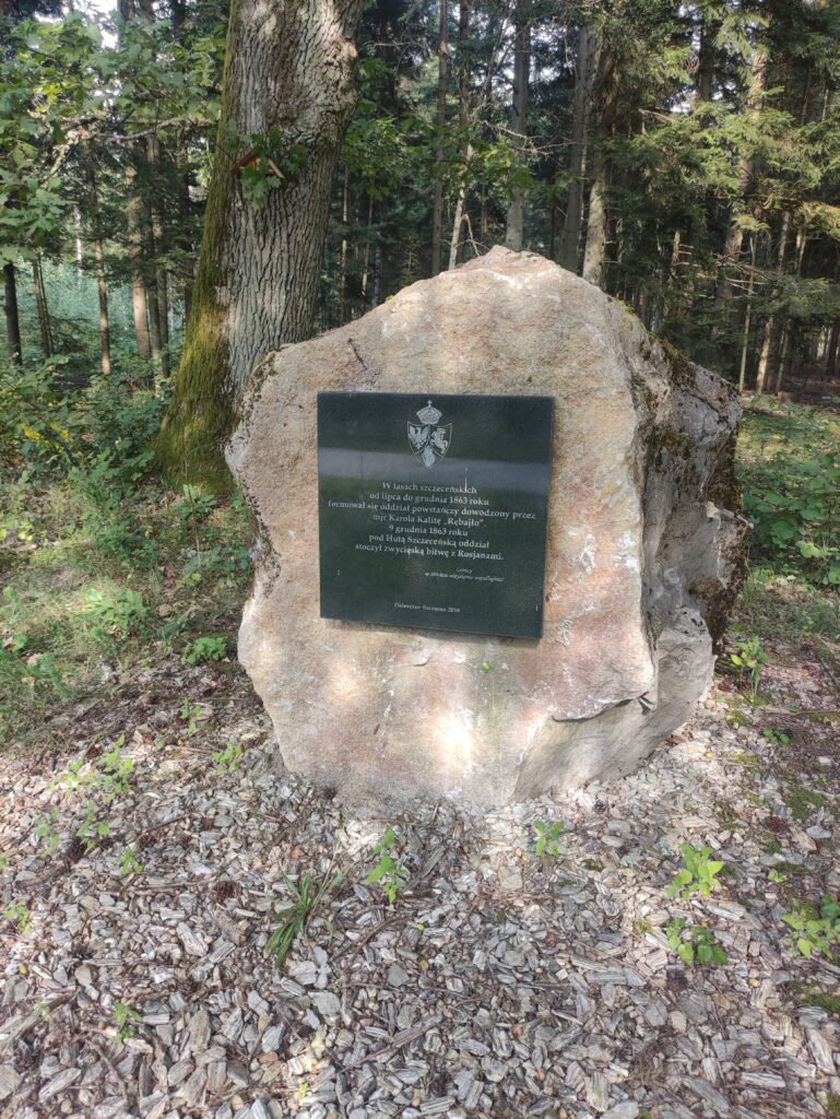
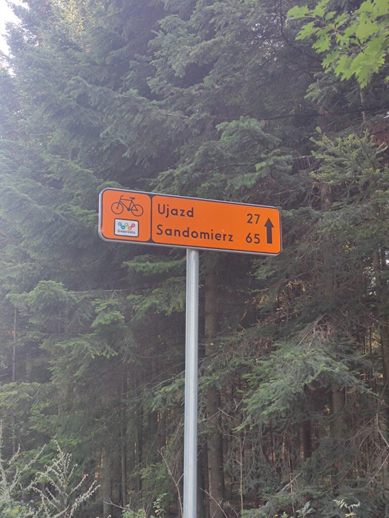
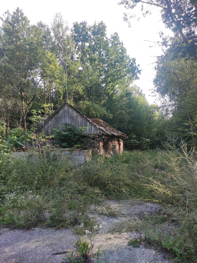
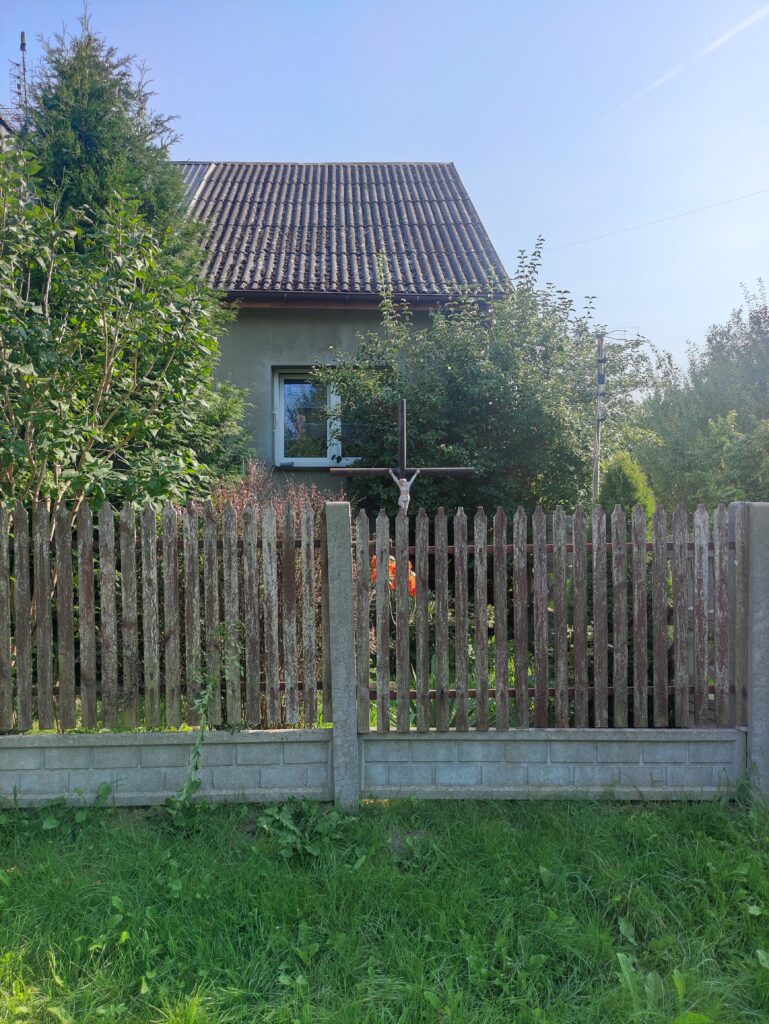
Zdjęcia na trasie
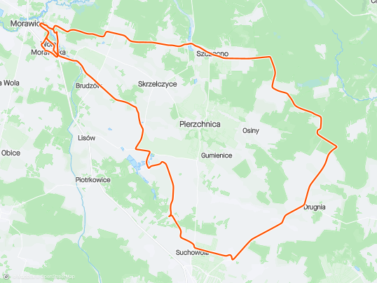

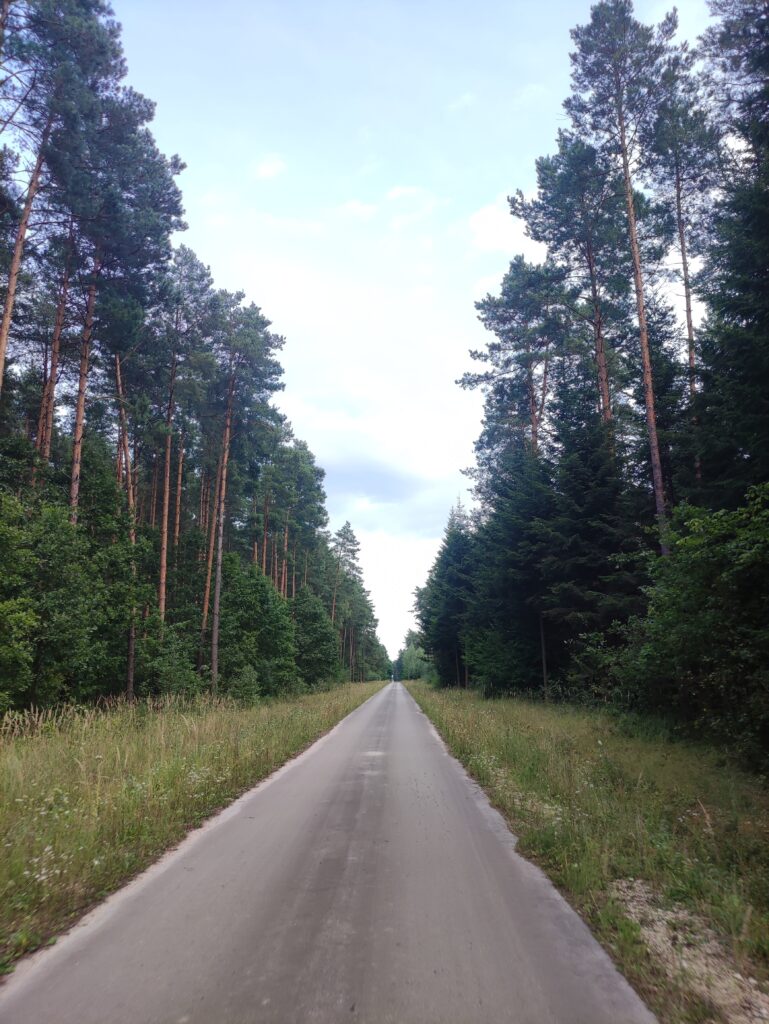

Trasa
| Podział | Dystans (km) | Czas trwania (min) | Różnica wysokości (m) | Średnia prędkość (m/s) |
|---|---|---|---|---|
| 1 | 1.01 | 5:38 | -4.4 | 4.82 |
| 2 | 1.05 | 2:6 | -2 | 6.72 |
| 3 | 0.96 | 3:87 | 0 | 4.16 |
| 4 | 0.99 | 4:97 | 1 | 4.16 |
| 5 | 1.00 | 2:68 | 3.4 | 6.23 |
| 6 | 0.99 | 2:37 | 5.8 | 6.94 |
| 7 | 1.00 | 2:43 | 8.8 | 6.85 |
| 8 | 1.00 | 3:07 | 11.6 | 5.42 |
| 9 | 1.06 | 2:58 | 0.2 | 6.81 |
| 10 | 1.00 | 2:27 | 5.6 | 7.33 |
| 11 | 0.98 | 2:27 | 5.2 | 7.19 |
| 12 | 0.99 | 2:12 | -5.2 | 7.76 |
| 13 | 1.02 | 5:38 | 3.8 | 4.87 |
| 14 | 0.96 | 3:18 | -5.2 | 5.05 |
| 15 | 1.05 | 3:35 | 2.4 | 6.19 |
| 16 | 0.98 | 2:38 | 4.8 | 6.84 |
| 17 | 1.02 | 2:4 | 0.6 | 7.09 |
| 18 | 0.96 | 3:97 | -9.8 | 5.56 |
| 19 | 1.01 | 2:93 | -0.6 | 6.67 |
| 20 | 0.99 | 2:83 | 3.4 | 6.35 |
| 21 | 1.03 | 2:22 | -3.8 | 7.73 |
| 22 | 1.00 | 2:52 | -4.4 | 7.28 |
| 23 | 1.00 | 2:73 | 8 | 6.07 |
| 24 | 0.99 | 3:95 | 0.2 | 4.76 |
| 25 | 0.98 | 2:15 | -0.8 | 7.63 |
| 26 | 1.00 | 2:93 | 8 | 5.68 |
| 27 | 1.04 | 3:42 | -4.4 | 5.47 |
| 28 | 1.02 | 2:22 | 2.2 | 7.65 |
| 29 | 0.95 | 3:72 | 15.4 | 5.29 |
| 30 | 1.04 | 2:25 | 2.8 | 7.7 |
| 31 | 1.01 | 4:67 | 7.2 | 4.93 |
| 32 | 1.01 | 1:6 | -15.8 | 10.49 |
| 33 | 0.99 | 2:4 | -12 | 7.56 |
| 34 | 0.99 | 1:88 | -10 | 8.73 |
| 35 | 0.98 | 3:55 | -8.6 | 5.53 |
| 36 | 1.01 | 3:45 | 17.2 | 5.54 |
| 37 | 0.97 | 3:38 | 2.2 | 5.74 |
| 38 | 1.00 | 3 | -4.4 | 6.82 |
| 39 | 1.03 | 2:03 | -3.8 | 8.46 |
| 40 | 1.00 | 2:62 | -1.8 | 7.15 |
| 41 | 0.97 | 3:07 | 8 | 6.38 |
| 42 | 1.04 | 1:98 | 2.8 | 8.77 |
| 43 | 0.97 | 3:27 | -1 | 6.29 |
| 44 | 1.03 | 1:92 | -8.2 | 8.97 |
| 45 | 0.97 | 3:05 | -0.2 | 5.75 |
| 46 | 1.02 | 2:32 | -1.4 | 7.35 |
| 47 | 0.99 | 2:17 | 13.8 | 7.63 |
| 48 | 1.02 | 2:25 | -4.4 | 7.53 |
| 49 | 0.95 | 2:8 | 17.6 | 6.32 |
| 50 | 1.03 | 2:43 | -27 | 7.04 |
| 51 | 0.97 | 2:4 | 1 | 7.11 |
| 52 | 1.02 | 2:15 | 2.6 | 7.93 |
| 53 | 0.98 | 1:58 | -26.2 | 10.36 |
| 54 | 1.05 | 2:37 | -2.6 | 7.42 |
| 55 | 0.97 | 2:43 | -4.2 | 6.63 |
| 56 | 0.97 | 4:73 | -1.8 | 3.83 |
| 57 | 1.00 | 3:68 | 1.2 | 4.52 |
| 58 | 1.04 | 3 | -0.8 | 5.76 |
| 59 | 1.03 | 2:43 | 4.4 | 7.05 |
| 60 | 0.98 | 2:32 | 3.8 | 7.06 |
| 61 | 0.87 | 2:58 | 3.4 | 6.03 |
Miejscowości
- województwo świętokrzyskie
- powiat kielecki
- gmina Morawica
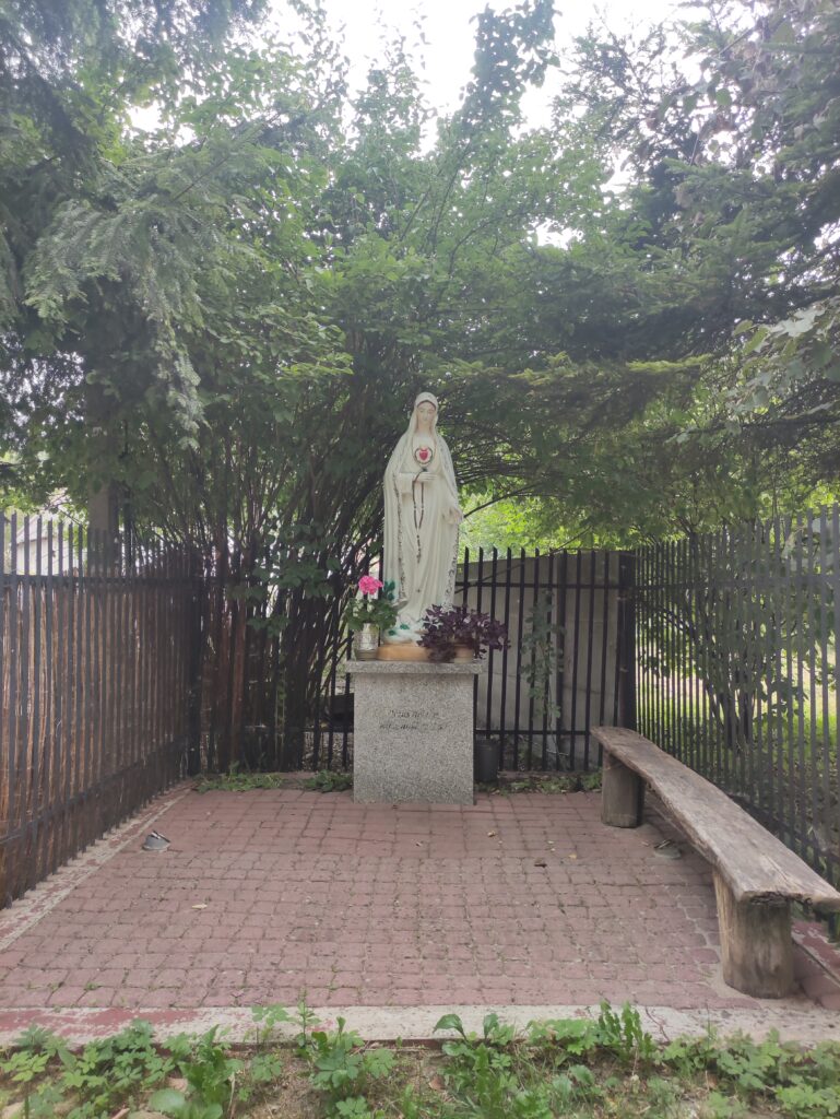
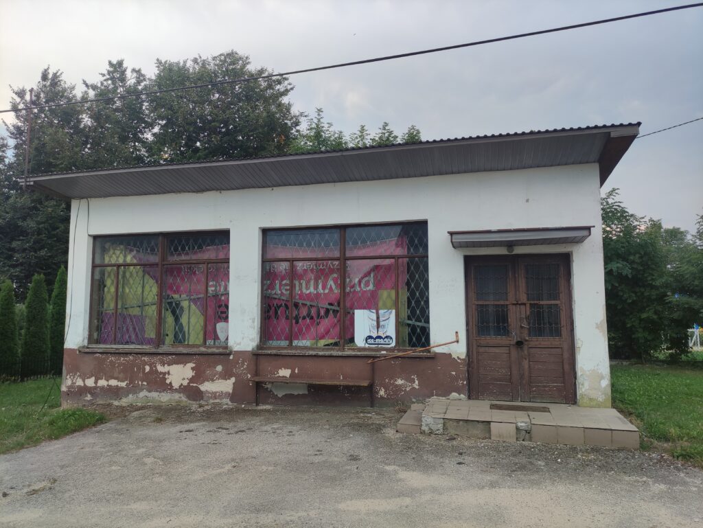
- Zaborze
- Łabędziów
- Morawica
- Wola Morawicka
- Radomice
- Brudzów
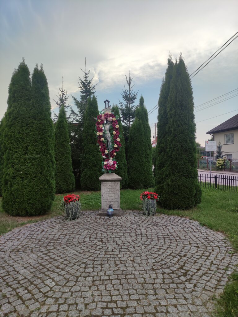
- gmina Chmielnik
- Lubania
- Suchowola
- Ługi
- gmina Daleszyce
- Komórki
- Szczecno
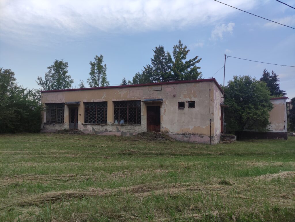
- gmina Pierzchnica
- Górki
- Podstoła
- Brody
- Drugnia
- Wierzbie
- Maleszowa
- Osiny
- Ujny
- Czarna
- Huta Szklana
- Skrzelczyce
- gmina Raków
- Papiernia
- gmina Morawica
- powiat kielecki
Strava segmenty
| Nazwa | Czas trwania (s) | Czas w ruchu (s) | Odległość (m) | Średnie nachylenie (%) | Maksymalne nachylenie (%) | Wysokość maks. | Wysokość min. |
|---|---|---|---|---|---|---|---|
| Łabędziów-Komórki podjazd | 1112 | 1112 | 7345.1 | 0.6 | 5.4 | 272.4 | 229 |
| Radomice Las | 291 | 291 | 1986.1 | 0.7 | 7.2 | 249.8 | 236 |
| Radomice Drugie / Zagórze, Główna (św. Antoniego - Skok) | 121 | 121 | 760 | -0.1 | 0.9 | 260.9 | 260.2 |
| Przez Komórki | 460 | 460 | 3482.6 | -0.2 | 2.5 | 276 | 250.6 |
| Szczecno Uphill | 375 | 249 | 1100.8 | 0.9 | 7.2 | 267.9 | 252.1 |
| Szczecno - Skrzyżowanie Trzemoszna/Ujny | 574 | 569 | 3212.5 | 0.5 | 6 | 279.9 | 260.3 |
| Skrzyżownaie Szczecno/Trzemosna - Ujny | 282 | 263 | 1756.5 | -0.8 | 5.1 | 279 | 255 |
| Ujny (Łomy - Podjamie) | 146 | 142 | 867.6 | -0.2 | 1.8 | 267 | 263.1 |
| Podjamie-Stara Huta | 450 | 450 | 3036.6 | 0 | 3.3 | 268.8 | 260.6 |
| Drugnia-Lubania | 792 | 729 | 4970.3 | -0.7 | 6.2 | 308.8 | 257.2 |
| Lipy vs | 207 | 204 | 1025.3 | 1.8 | 4.5 | 277.2 | 259 |
| Ługi - Maleszowa | 432 | 430 | 2893.6 | 0.6 | 2.4 | 273.2 | 257.1 |
| Brudzów zjazd do Podemłynia | 163 | 163 | 1548.2 | -2 | 0 | 276.2 | 245.6 |
Punkty GPS na trasie
Wszystkie: 1595Uproszczone: 267