13.08.2024 17:11
Ride
-
Dystans
38.10 km
-
Średnia prędkość
15.23 km/h
-
Maksymalna prędkość
41.68 km/h
-
Czas ruchu
02:30
-
Całkowity czas
02:46
-
Najniższa wysokość
226.6 m
-
Najwyższa wysokość
271 m
-
Suma przewyższeń
238 m
-
Kalorie
1433
-
Kwadraty
23
-
Osiągnięcia
9
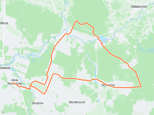


Trasa
| Podział | Dystans (km) | Czas trwania (min) | Różnica wysokości (m) | Średnia prędkość (m/s) |
|---|---|---|---|---|
| 1 | 1.03 | 3:93 | -4.4 | 4.6 |
| 2 | 0.98 | 5:87 | -2 | 4.29 |
| 3 | 1.01 | 4:98 | 10.6 | 3.89 |
| 4 | 0.98 | 4:48 | 10 | 3.66 |
| 5 | 1.02 | 5:62 | -3 | 3.27 |
| 6 | 1.00 | 4 | -4.8 | 4.16 |
| 7 | 1.04 | 3:05 | -8.8 | 5.66 |
| 8 | 0.96 | 2:95 | -1.4 | 5.44 |
| 9 | 1.01 | 4:92 | 5.4 | 3.59 |
| 10 | 1.00 | 3:85 | -3.2 | 4.33 |
| 11 | 0.98 | 3:25 | -1.8 | 5.02 |
| 12 | 1.02 | 6:63 | 3.2 | 4.23 |
| 13 | 0.98 | 5:78 | 10 | 2.97 |
| 14 | 1.01 | 7:57 | -4.8 | 2.28 |
| 15 | 1.00 | 7:18 | -3.4 | 2.96 |
| 16 | 1.00 | 5:05 | 1.6 | 3.58 |
| 17 | 1.01 | 9:83 | 4.2 | 3.05 |
| 18 | 0.99 | 4:57 | 16.4 | 3.62 |
| 19 | 1.03 | 3:73 | -2.4 | 4.75 |
| 20 | 0.97 | 6:7 | -7.6 | 4.47 |
| 21 | 0.99 | 5:75 | 14 | 3.23 |
| 22 | 0.99 | 2:98 | -3.8 | 5.54 |
| 23 | 1.00 | 4:5 | 1.6 | 4.34 |
| 24 | 1.03 | 3:22 | 0.4 | 5.33 |
| 25 | 0.99 | 3:27 | -6 | 5.66 |
| 26 | 1.00 | 4:72 | -3.6 | 4.44 |
| 27 | 0.98 | 5:82 | 7.4 | 3.83 |
| 28 | 1.02 | 3:12 | 1.8 | 5.44 |
| 29 | 1.02 | 3:28 | 0 | 5.18 |
| 30 | 1.02 | 2:33 | -7.4 | 7.26 |
| 31 | 0.97 | 2:27 | -4.6 | 7.14 |
| 32 | 0.98 | 2:63 | 1.4 | 6.23 |
| 33 | 0.99 | 2:95 | -1.2 | 5.59 |
| 34 | 1.00 | 3:62 | 0.6 | 4.63 |
| 35 | 1.03 | 2:92 | -8.6 | 5.87 |
| 36 | 0.97 | 2:52 | -16 | 6.39 |
| 37 | 1.02 | 2:67 | -0.4 | 6.38 |
| 38 | 0.99 | 2:88 | 5 | 5.72 |
| 39 | 0.09 | 1:3 | 0.8 | 2.53 |
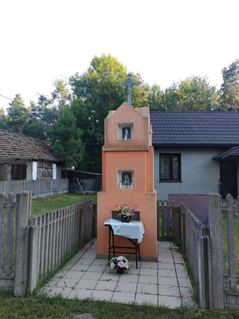
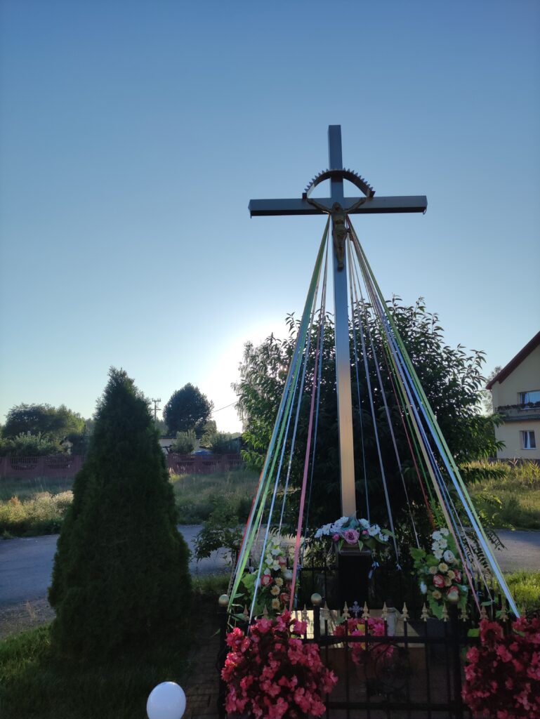
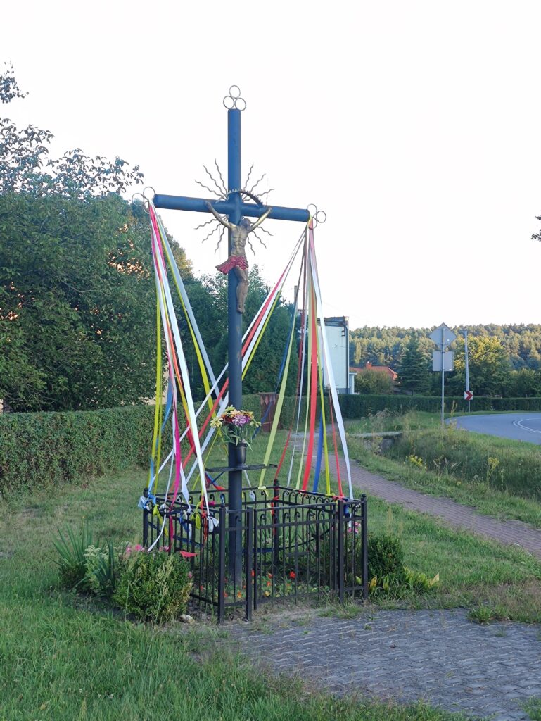
Miejscowości
- województwo świętokrzyskie
- powiat kielecki
- gmina Pierzchnica
- Skrzelczyce
- gmina Morawica
- Wola Morawicka
- Radomice
- Brudzów
- gmina Daleszyce
- Borków
- Kranów
- Komórki
- Szczecno
- Trzemosna
- Suków
- Marzysz
- gmina Pierzchnica
- powiat kielecki
Strava segmenty
| Nazwa | Czas trwania (s) | Czas w ruchu (s) | Odległość (m) | Średnie nachylenie (%) | Maksymalne nachylenie (%) | Wysokość maks. | Wysokość min. |
|---|---|---|---|---|---|---|---|
| Radomice - Marzysz hopki | 872 | 872 | 3934.7 | -0.2 | 6.6 | 257.3 | 236.2 |
| [North] Hopka Wydrzysz | 89 | 89 | 327.1 | 4.2 | 7.5 | 262.8 | 249 |
| Ataaaaaaak! do skrzyżowania! | 252 | 252 | 1562.1 | -1.4 | 0.9 | 275.4 | 252 |
| Marzysz Pierwszy | 456 | 456 | 1731.8 | 0 | 7.5 | 255.5 | 236.1 |
| Marzysz Drugi - Zjazd do Młynów | 249 | 249 | 923.7 | 0.3 | 4.8 | 245.2 | 236.3 |
| Zjazd do Młynów - Marzysz Pierwszy | 178 | 178 | 618.7 | 0 | 4.3 | 249.4 | 243.3 |
| Marzysz Pierwszy - Szkoda | 81 | 81 | 388.7 | 0 | 3.7 | 240.7 | 238 |
| górka do Trzemostnej | 421 | 418 | 1423.7 | 3 | 8.1 | 290.8 | 247.8 |
| Borków - Trzemosna | 1038 | 845 | 3300.6 | 0.2 | 6.6 | 290.9 | 254.1 |
| Trzemosna las hopka | 137 | 137 | 422 | 5.9 | 8 | 282.6 | 257.5 |
| Trzemosna - Skrzyżowanie Szczecno/Ujny | 412 | 412 | 1944 | 0.3 | 8.8 | 285.1 | 272.1 |
| Trzemosna - Szczecno | 787 | 734 | 3333.4 | -0.3 | 1.3 | 272.5 | 261.6 |
| Szczecno - up the hill | 144 | 144 | 501.7 | 4.3 | 8.1 | 277.2 | 254.2 |
| Radomice Drugie - Radomice Pierwsze down&up | 239 | 239 | 1312 | 0 | 5.2 | 260.3 | 248.5 |
Punkty GPS na trasie
Wszystkie: 1264Uproszczone: 138