11.08.2024 10:56
Ride
-
Dystans
120.21 km
-
Średnia prędkość
25.32 km/h
-
Maksymalna prędkość
50.6 km/h
-
Czas ruchu
04:44
-
Całkowity czas
08:54
-
Najniższa wysokość
215.4 m
-
Najwyższa wysokość
313 m
-
Suma przewyższeń
912 m
-
Kalorie
3488
-
Kwadraty
86
-
Osiągnięcia
5
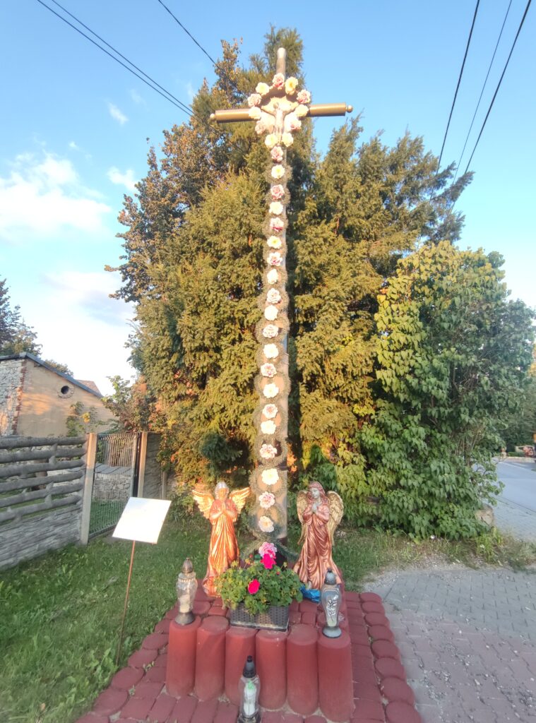
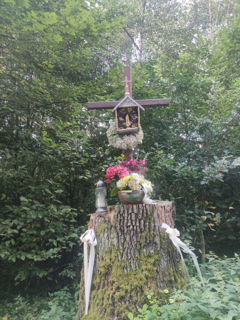
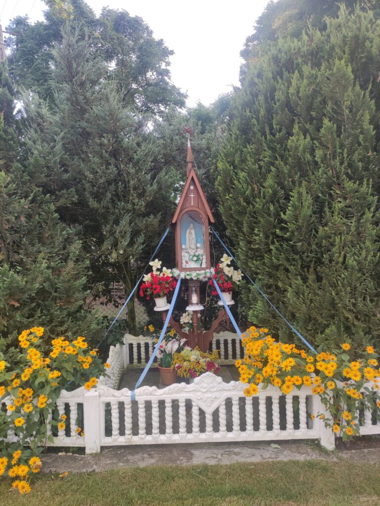
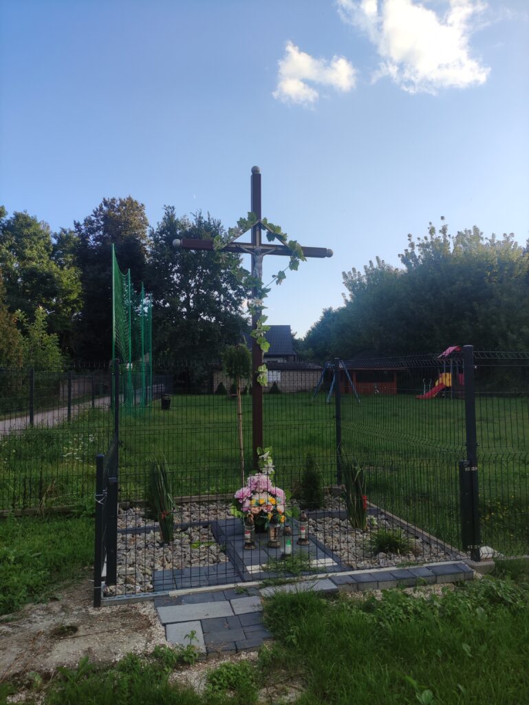
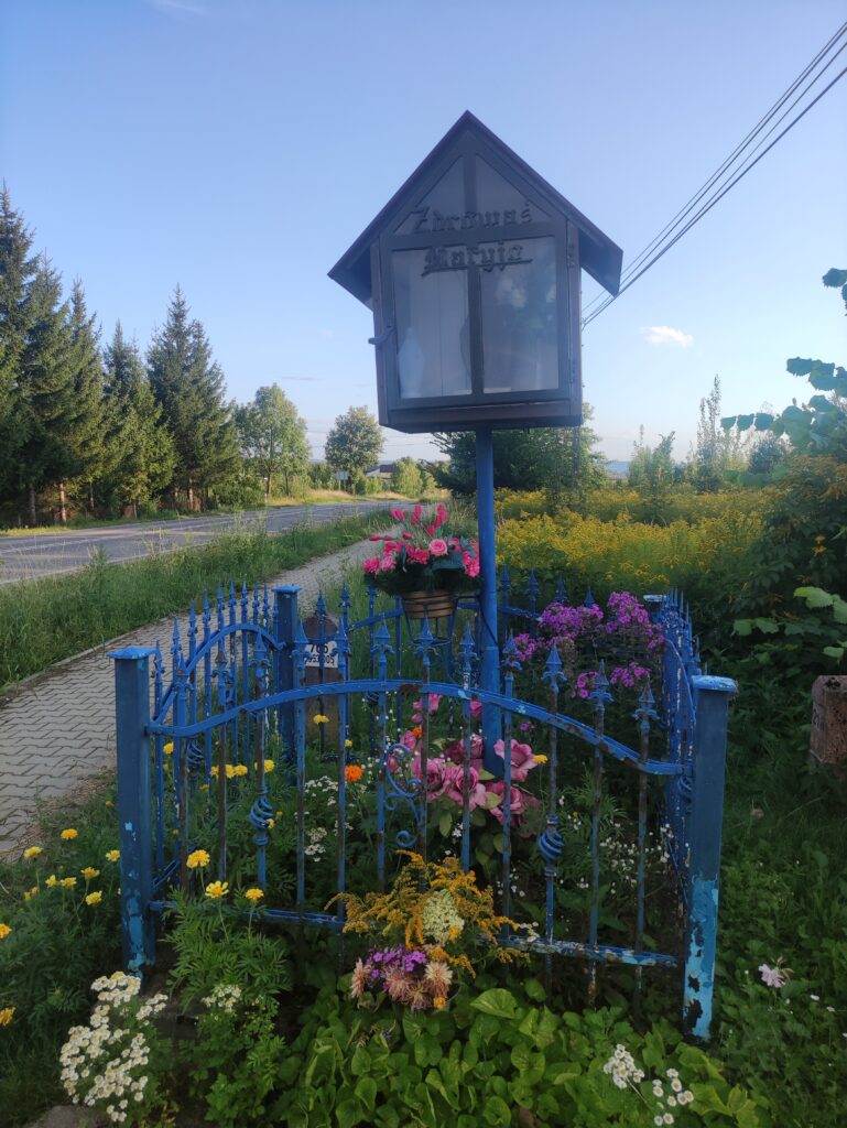
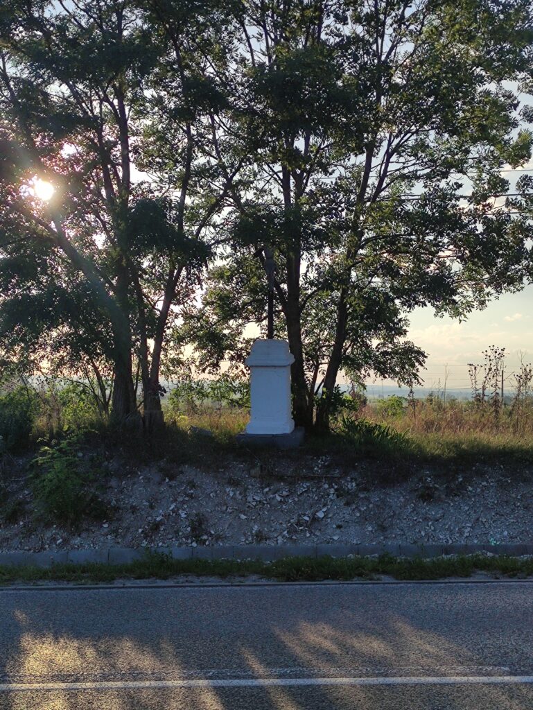
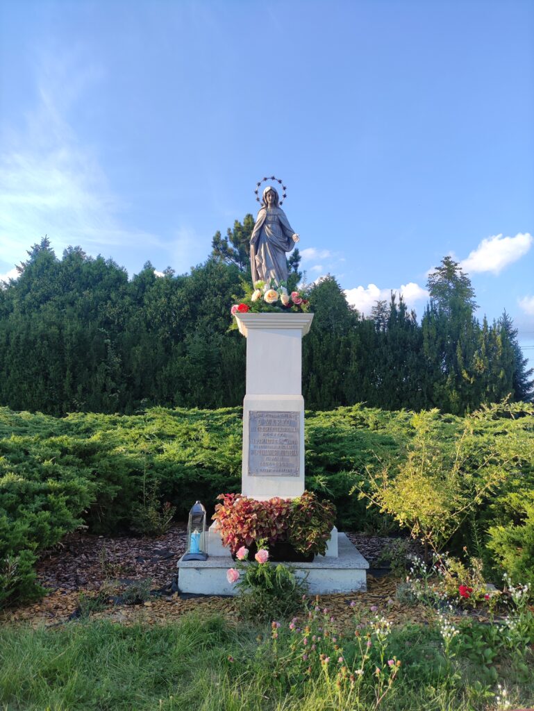
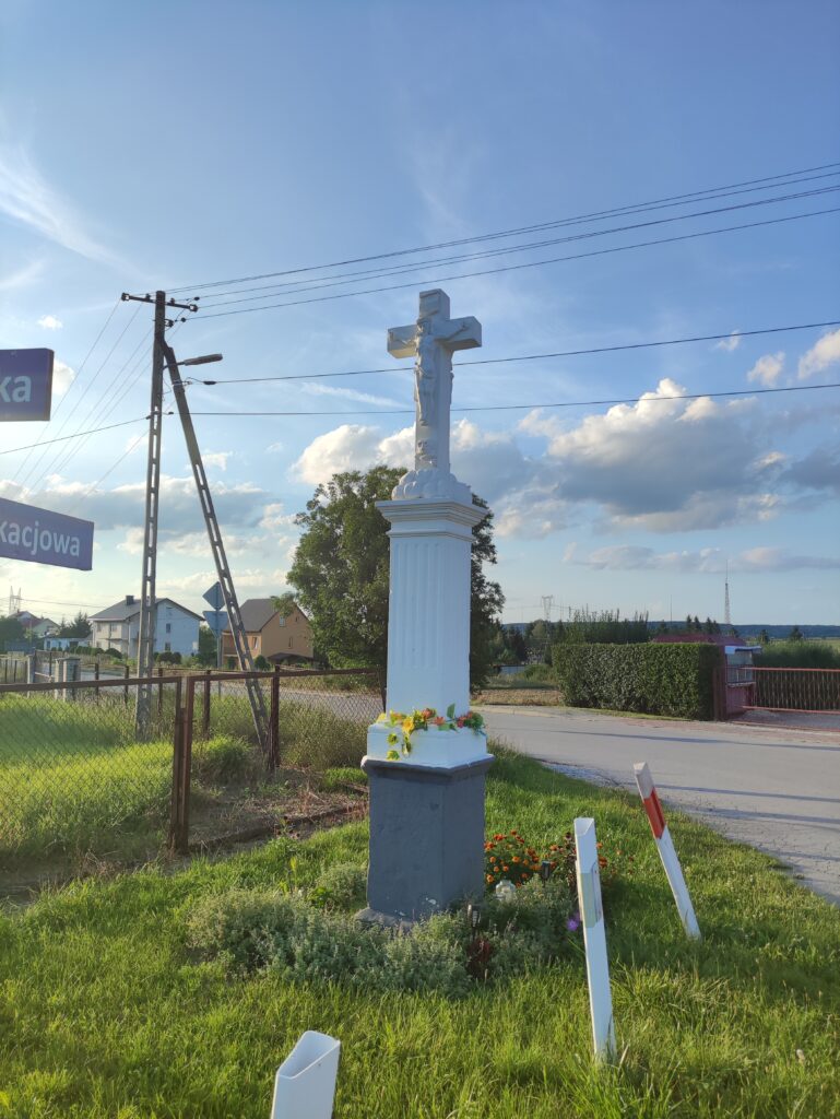
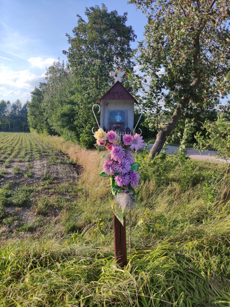
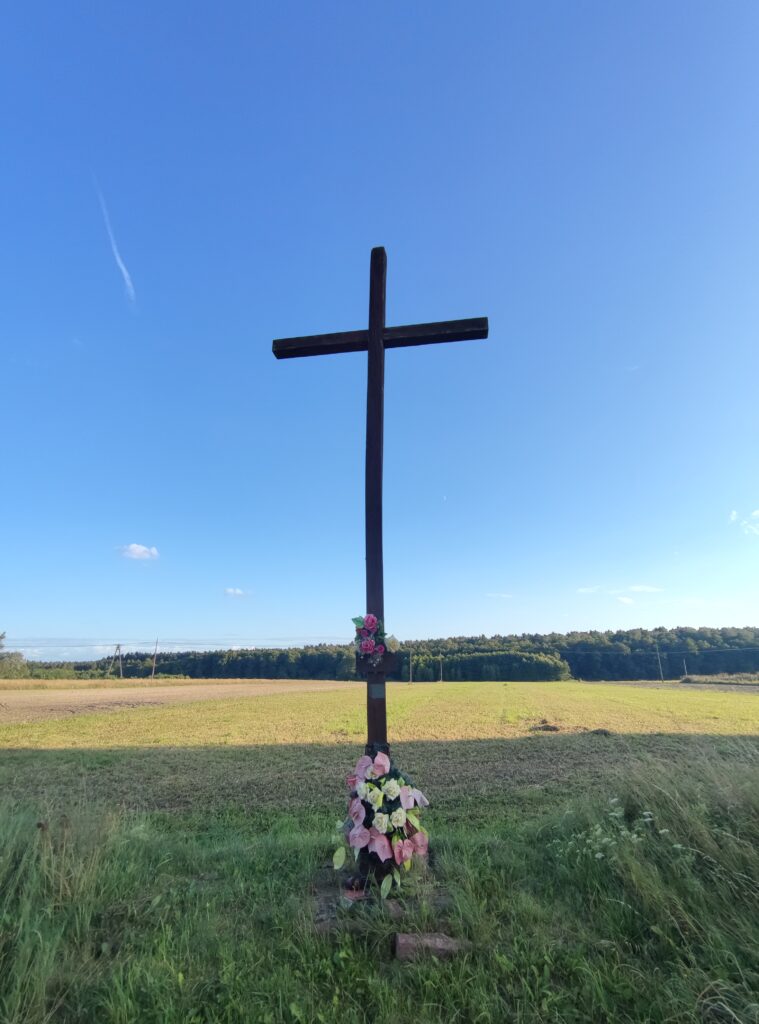
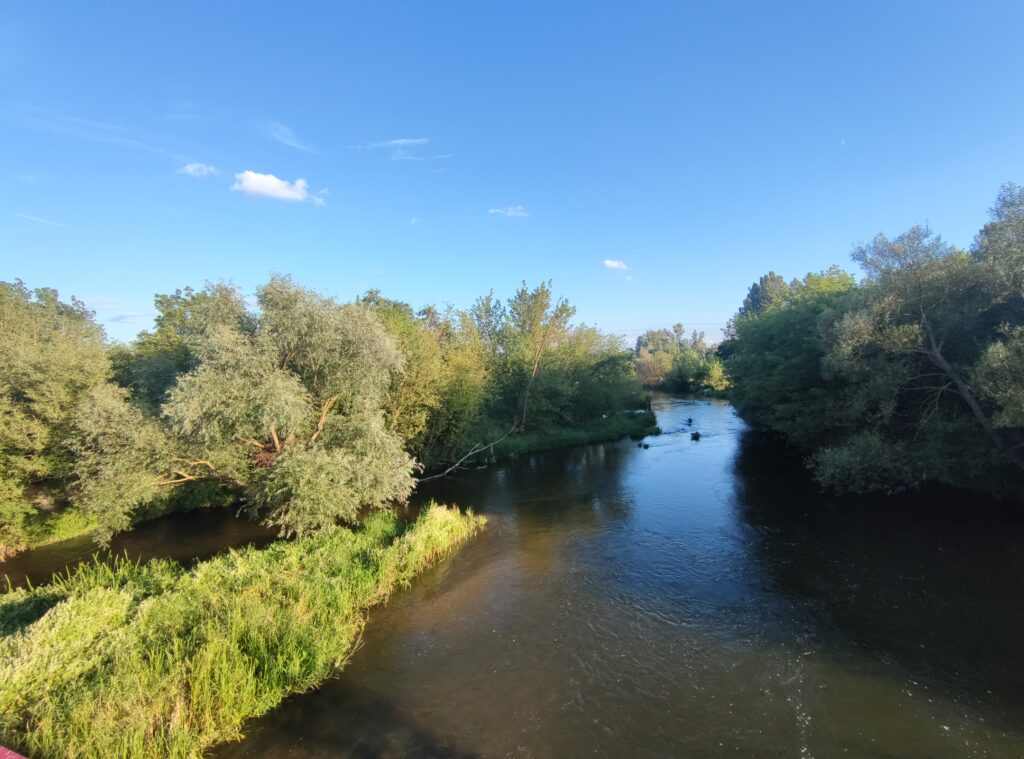
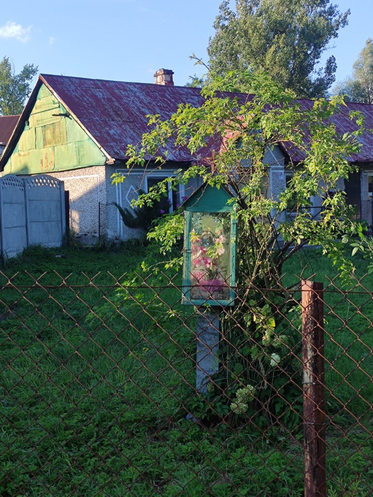
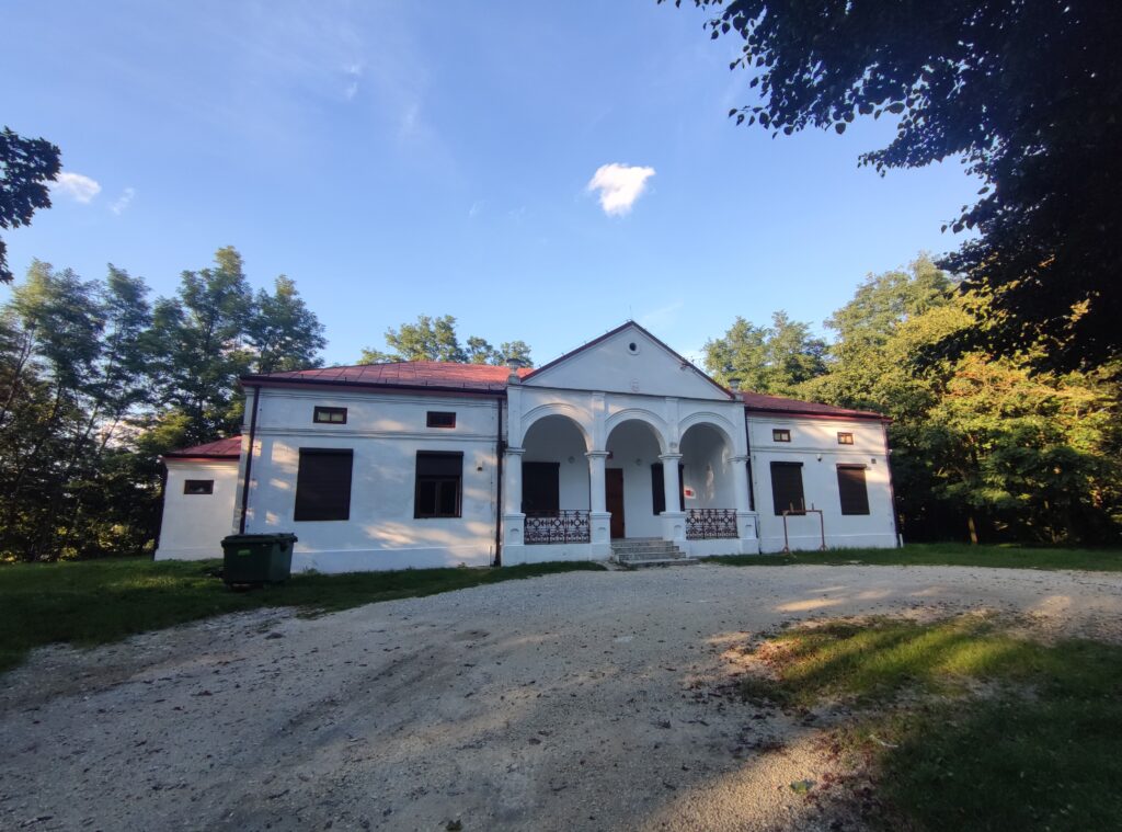
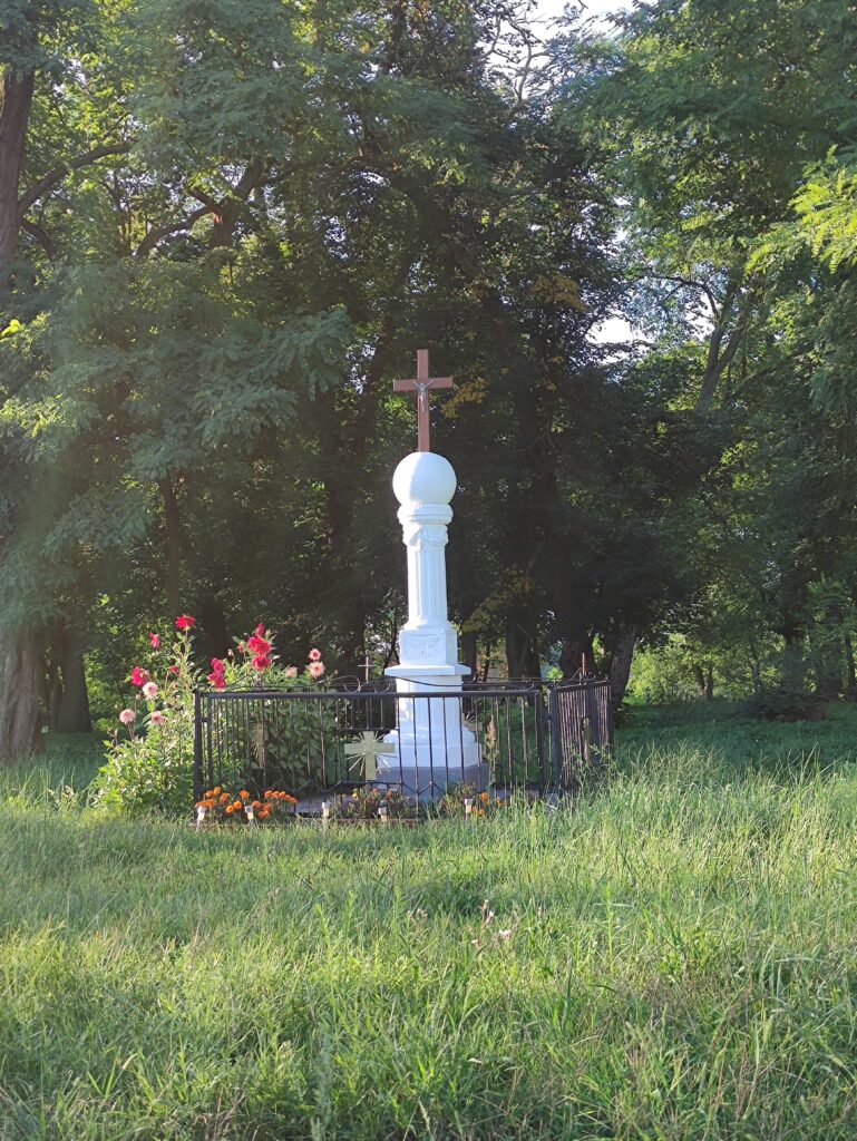
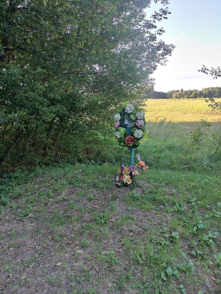
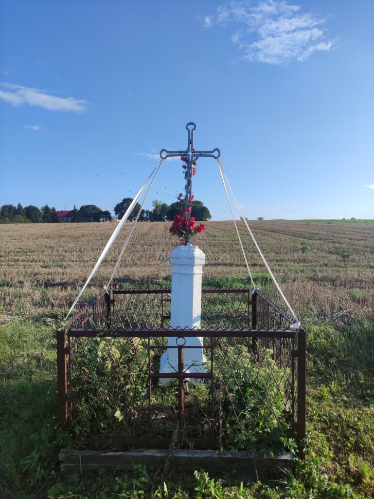
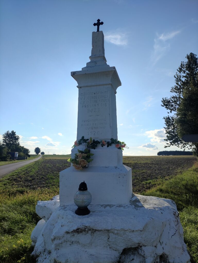
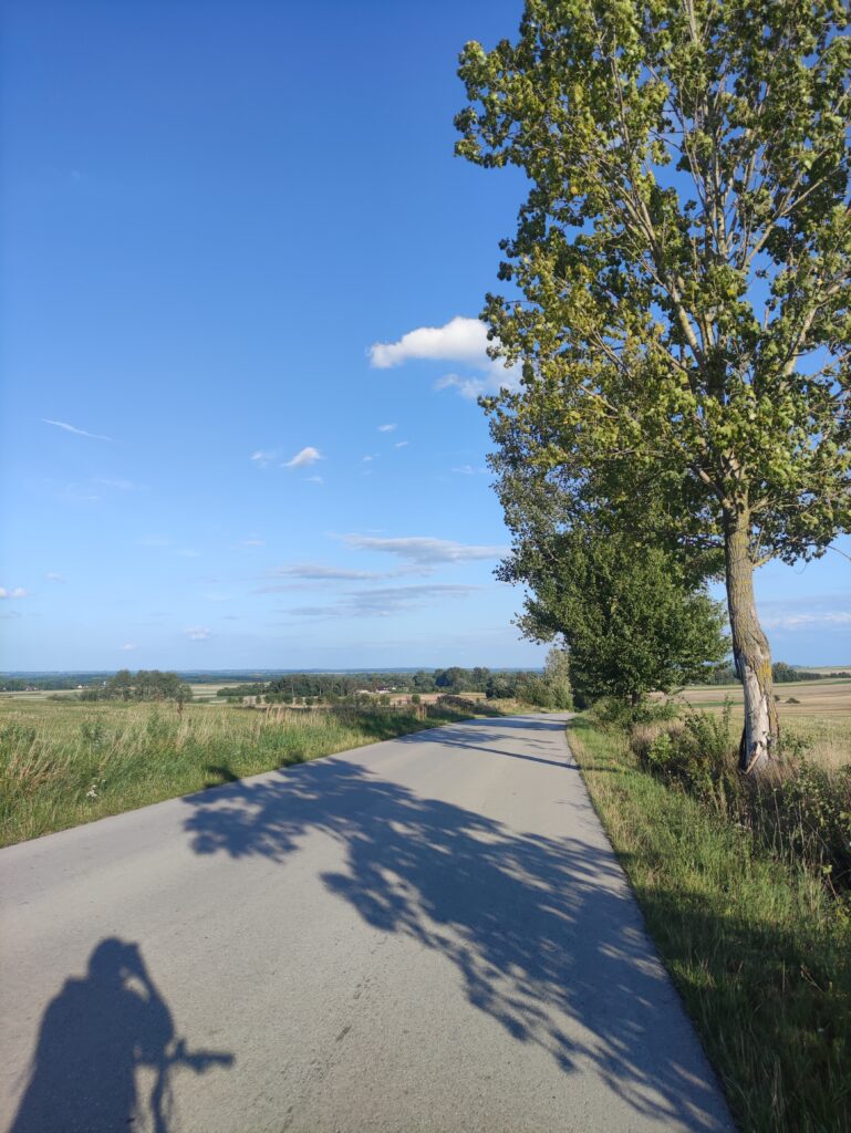
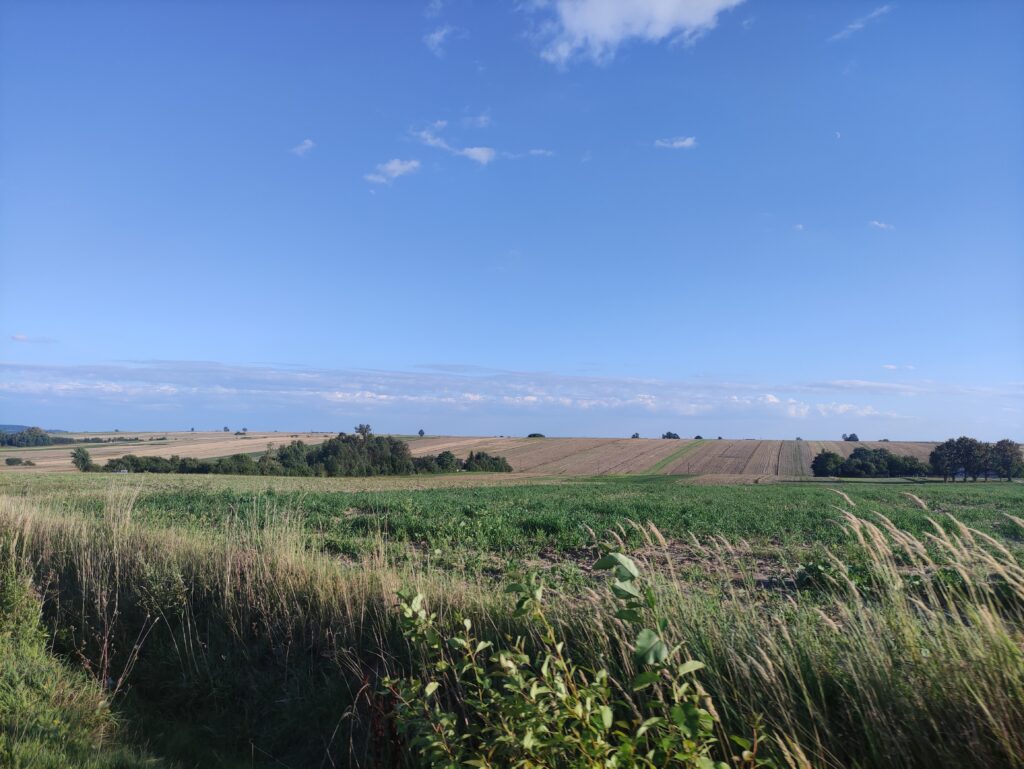
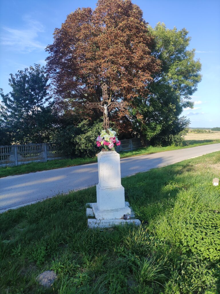
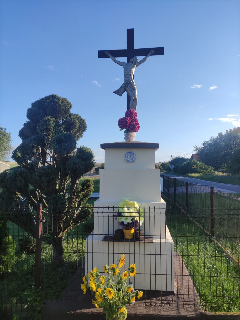
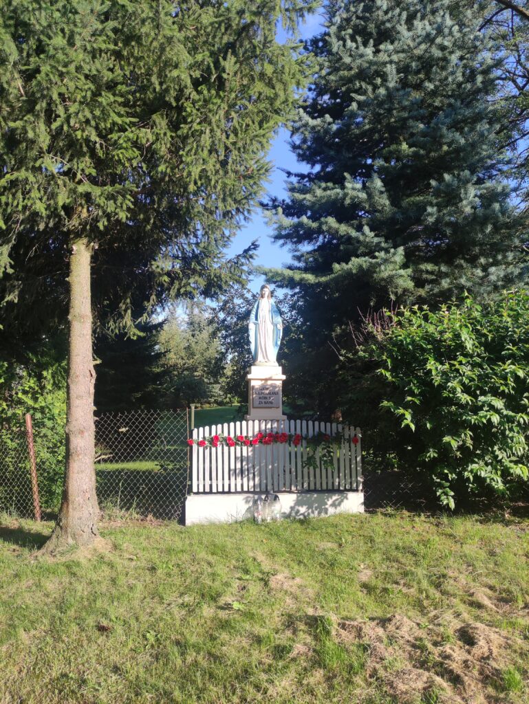
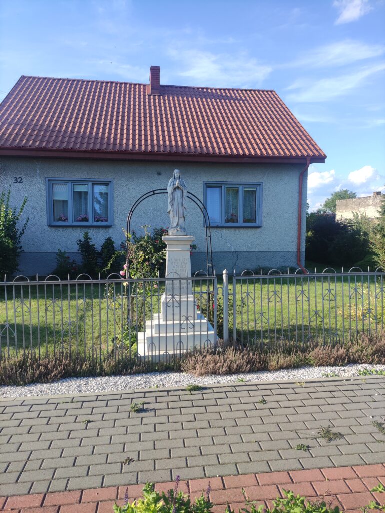
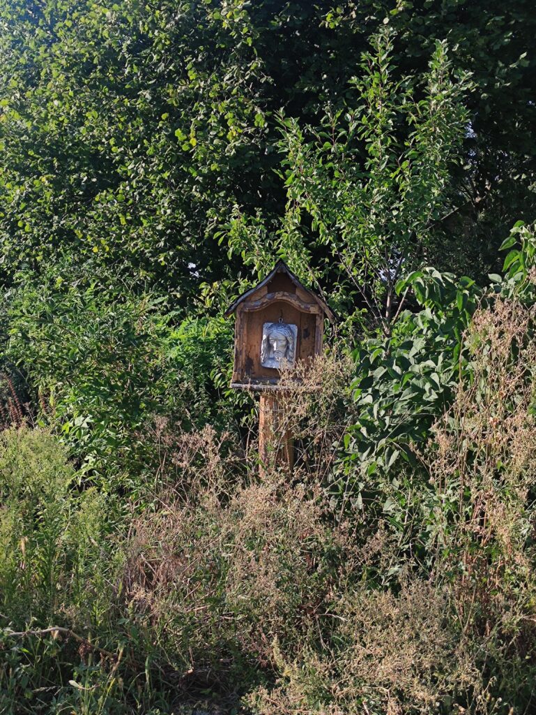
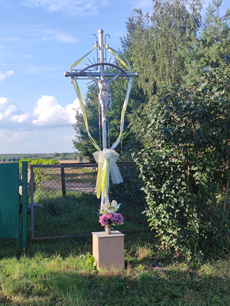
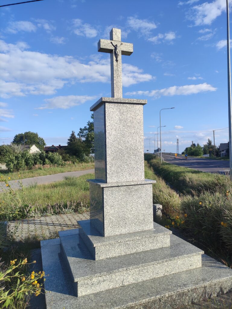
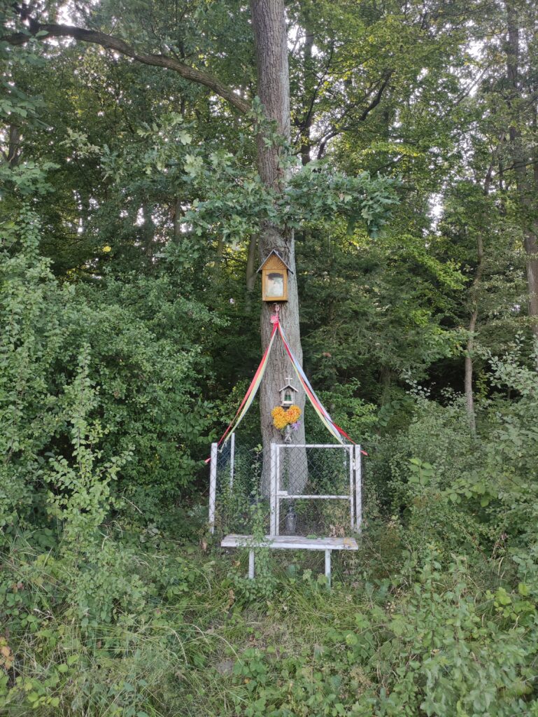
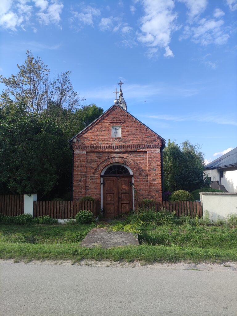
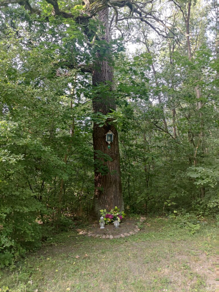
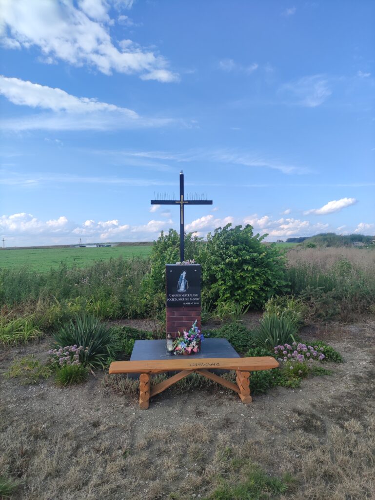
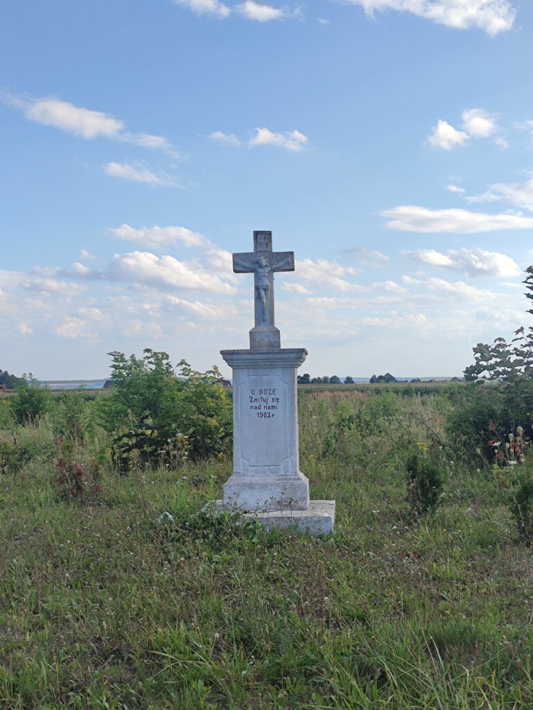
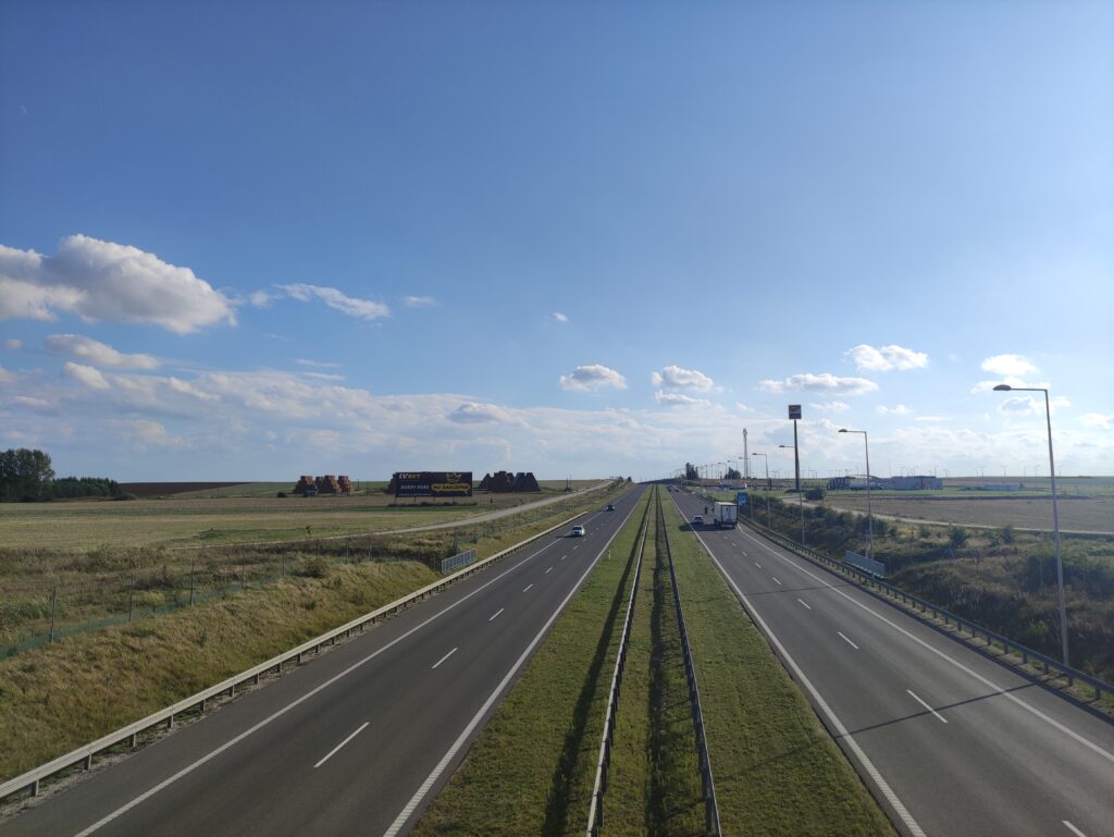
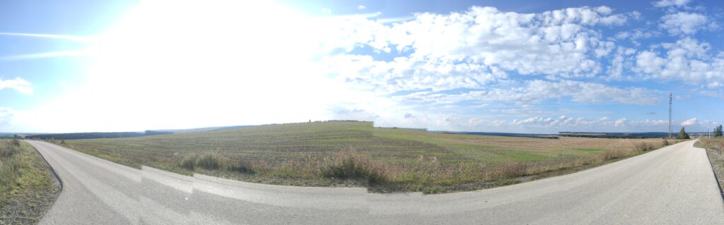
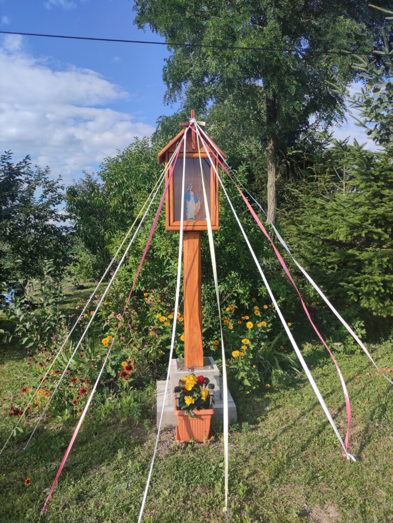
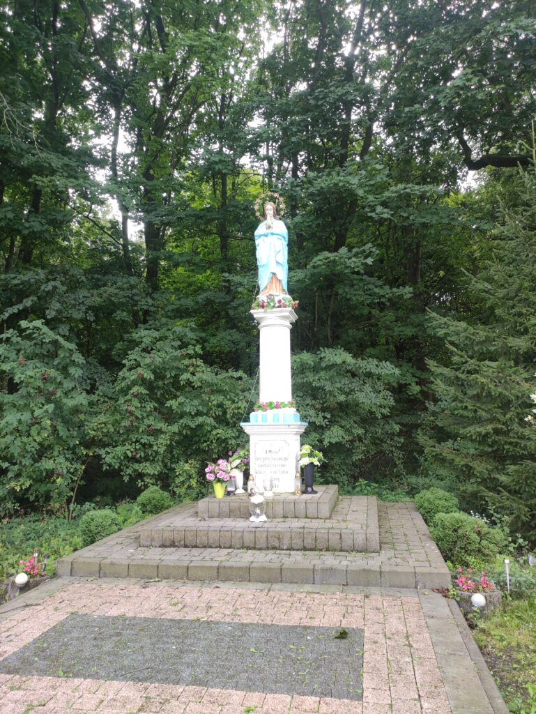
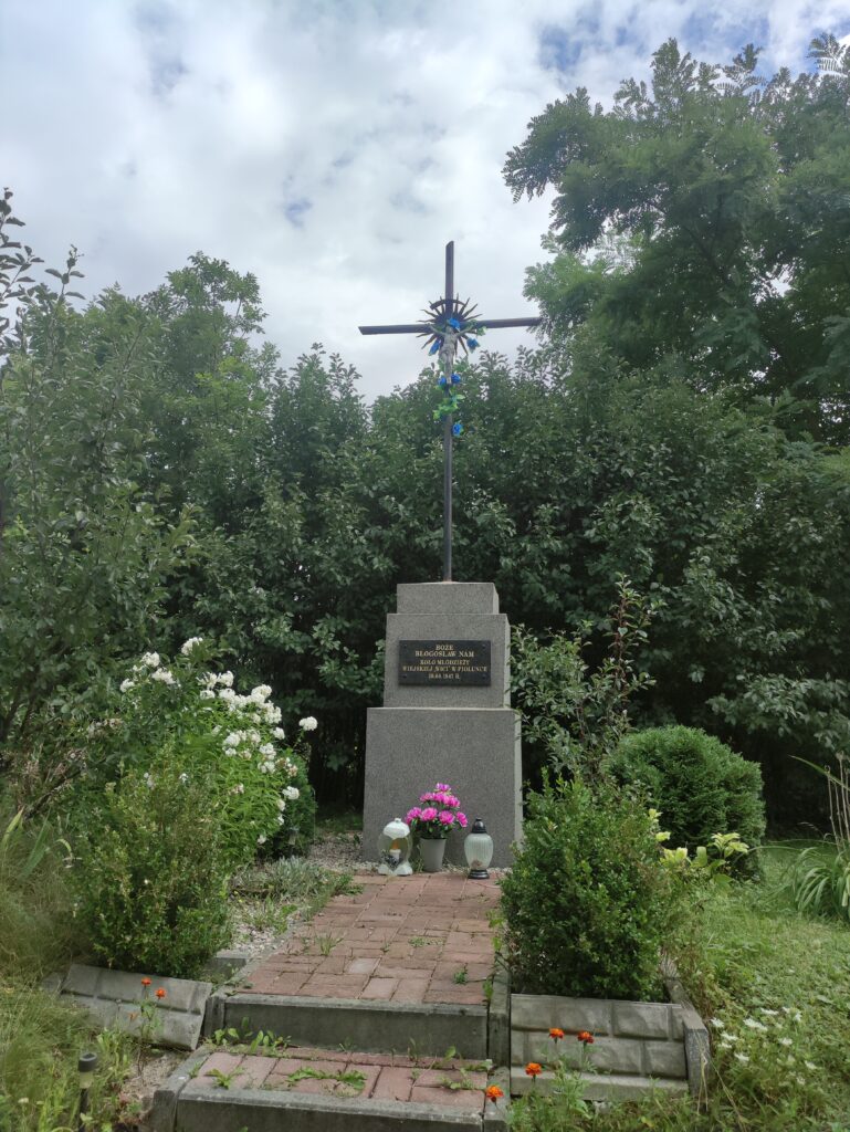
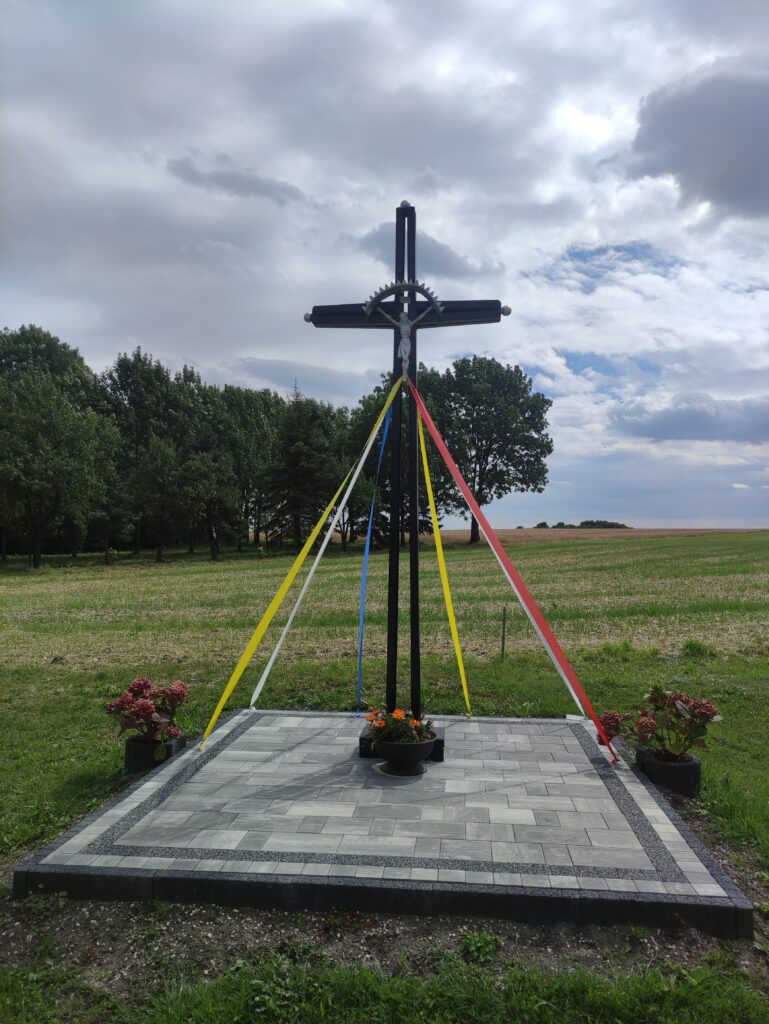
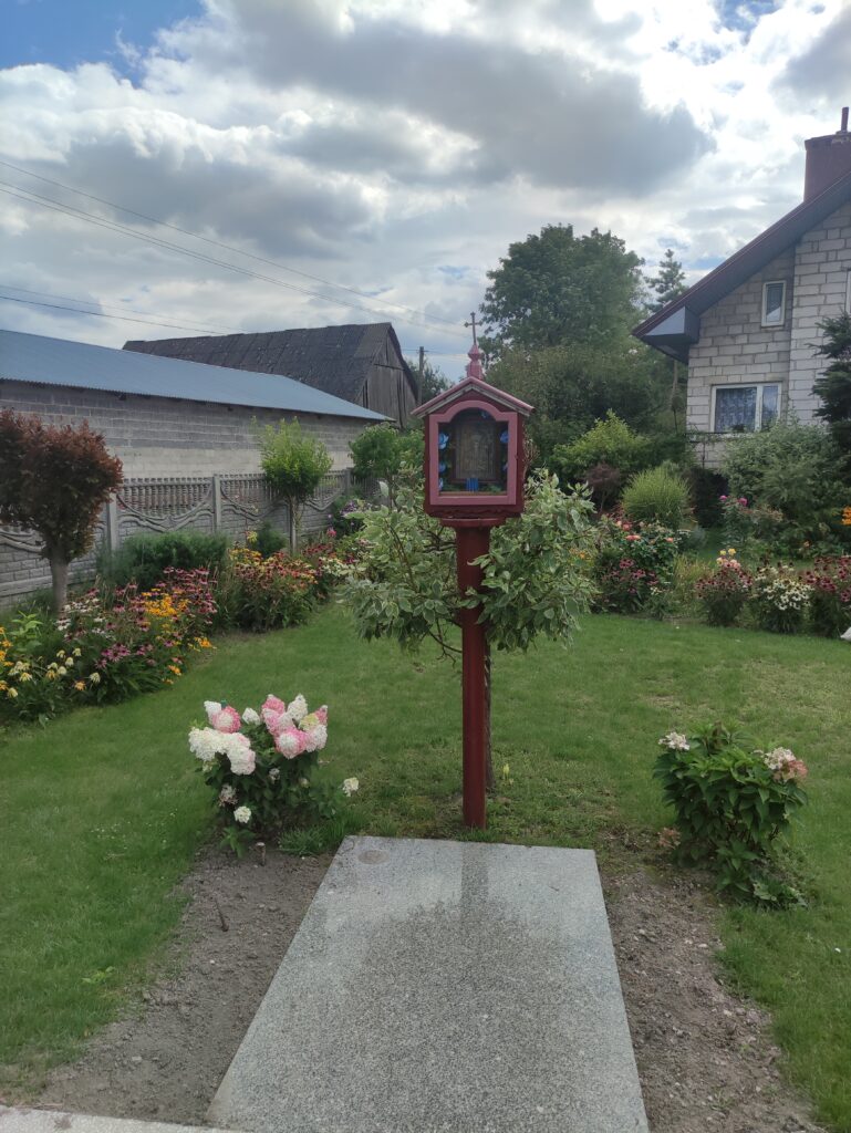
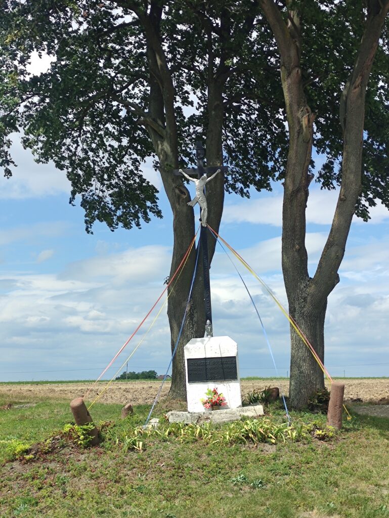
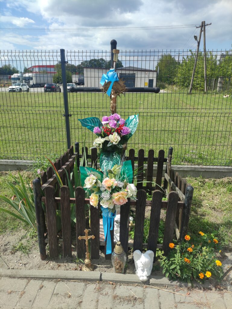
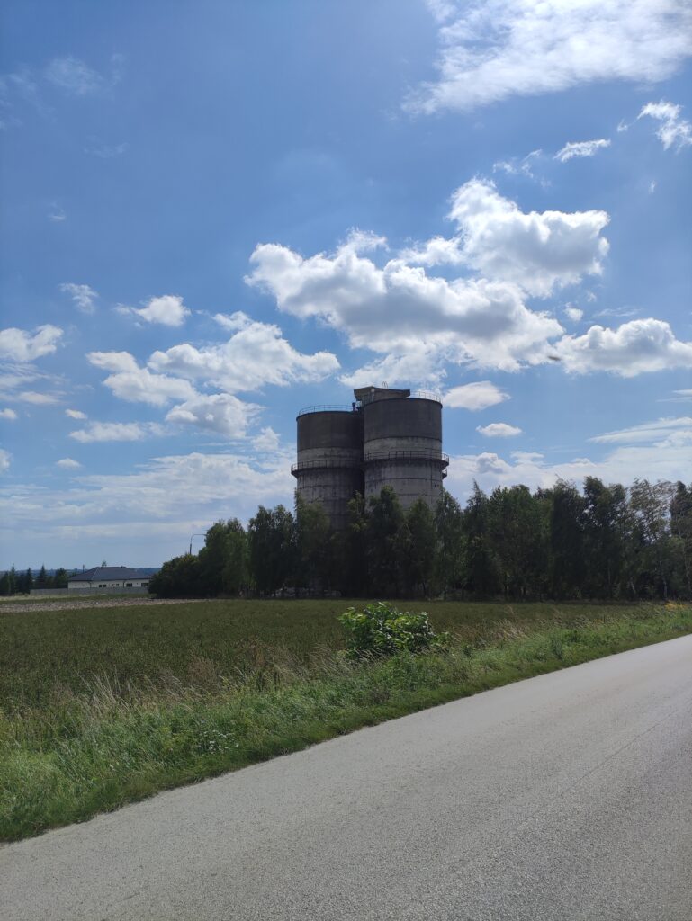
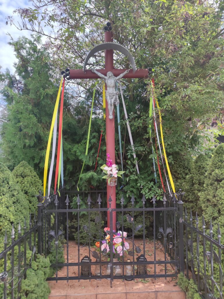
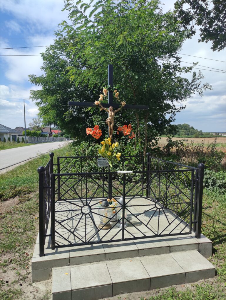
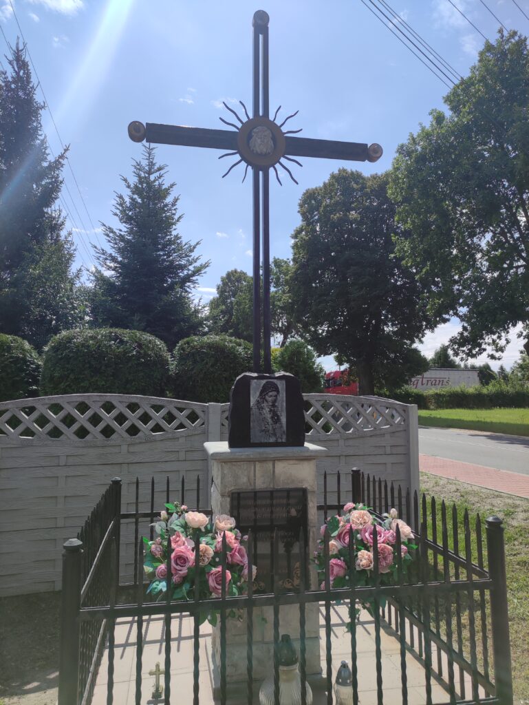
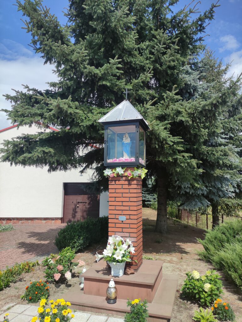
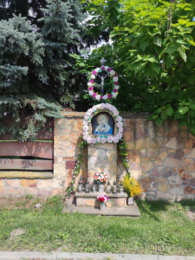
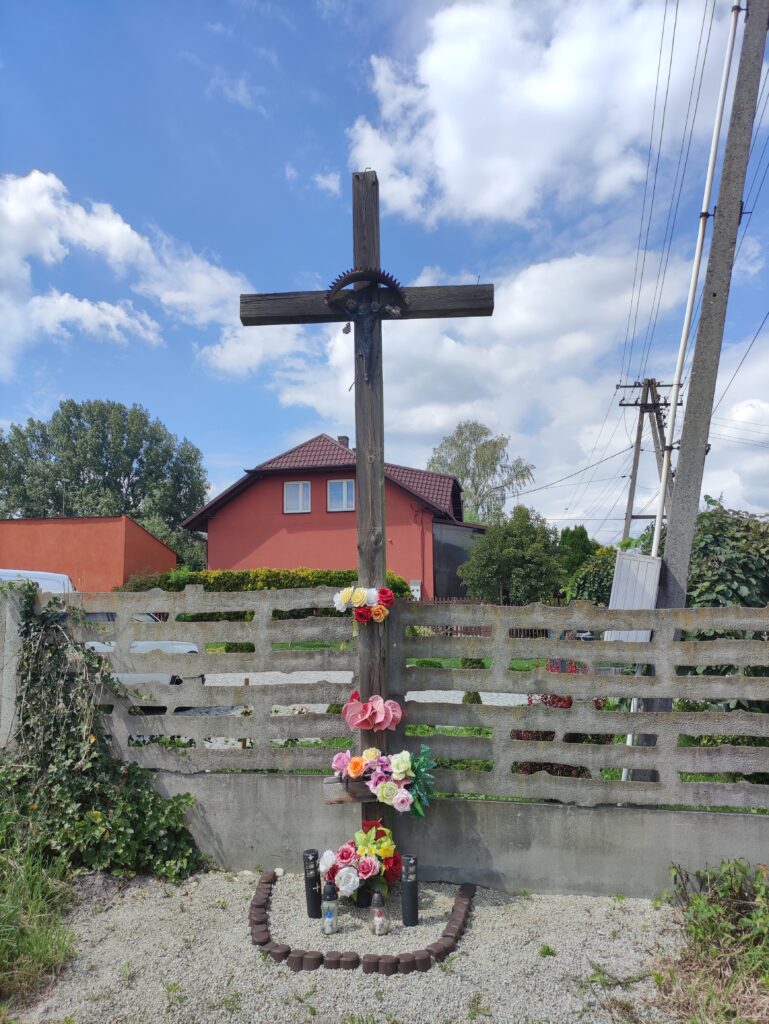
Zdjęcia na trasie
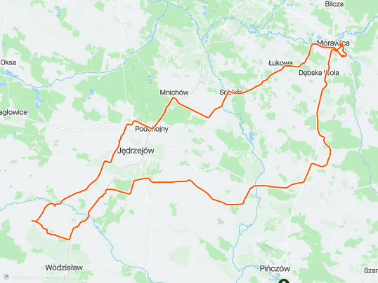


Trasa
| Podział | Dystans (km) | Czas trwania (min) | Różnica wysokości (m) | Średnia prędkość (m/s) |
|---|---|---|---|---|
| 1 | 1.00 | 39:13 | -9.6 | 6.83 |
| 2 | 1.03 | 2:72 | -2 | 7.32 |
| 3 | 0.99 | 2:13 | 0.2 | 7.7 |
| 4 | 0.98 | 2:12 | -2.2 | 7.73 |
| 5 | 1.02 | 2:32 | 1.2 | 7.33 |
| 6 | 0.98 | 2:63 | 17.2 | 6.21 |
| 7 | 1.00 | 2:75 | 31 | 6.05 |
| 8 | 1.02 | 2:08 | 4 | 8.17 |
| 9 | 1.00 | 1:63 | -27.4 | 10.23 |
| 10 | 1.02 | 2:43 | 2.4 | 6.99 |
| 11 | 1.01 | 2:1 | 5.6 | 8.04 |
| 12 | 0.98 | 2:05 | 8 | 7.93 |
| 13 | 0.99 | 1:98 | -1 | 8.29 |
| 14 | 0.98 | 1:83 | -8 | 8.95 |
| 15 | 1.05 | 1:6 | -24.4 | 10.94 |
| 16 | 0.95 | 2:42 | -16.8 | 8.65 |
| 17 | 0.99 | 1:9 | -10.8 | 8.72 |
| 18 | 1.05 | 2:33 | -3.4 | 8.3 |
| 19 | 0.97 | 1:82 | 0.6 | 8.93 |
| 20 | 0.97 | 2:2 | 20.4 | 7.35 |
| 21 | 1.05 | 2:3 | 21.6 | 7.64 |
| 22 | 0.98 | 2:67 | -4.6 | 6.78 |
| 23 | 1.02 | 2:77 | 9.6 | 6.87 |
| 24 | 0.96 | 1:88 | 0.6 | 8.49 |
| 25 | 1.00 | 1:92 | -3.6 | 8.67 |
| 26 | 1.04 | 2:27 | -1.2 | 7.68 |
| 27 | 0.96 | 1:67 | -5.2 | 9.57 |
| 28 | 1.03 | 1:98 | 5.6 | 8.67 |
| 29 | 0.99 | 2:02 | 5.4 | 8.22 |
| 30 | 1.02 | 1:88 | -7.6 | 9.02 |
| 31 | 0.95 | 3:07 | 4.6 | 6.37 |
| 32 | 1.03 | 2:88 | 7.4 | 6.18 |
| 33 | 0.99 | 3:22 | -0.8 | 6.66 |
| 34 | 0.99 | 2:73 | 7 | 6.67 |
| 35 | 1.03 | 2:63 | -3.4 | 7.32 |
| 36 | 0.96 | 2:53 | -6.2 | 6.51 |
| 37 | 1.00 | 9:08 | 3 | 5.69 |
| 38 | 1.04 | 3:07 | 2.6 | 6.2 |
| 39 | 0.99 | 2:55 | -5.4 | 7.83 |
| 40 | 0.97 | 2:48 | 10.6 | 7.25 |
| 41 | 1.01 | 2:73 | 10.4 | 6.94 |
| 42 | 1.05 | 2:8 | -9.2 | 7.42 |
| 43 | 0.96 | 1:77 | -12 | 9.07 |
| 44 | 1.04 | 2:2 | -12.2 | 7.91 |
| 45 | 0.94 | 3:72 | 5.8 | 5.54 |
| 46 | 1.03 | 2:65 | 20 | 6.47 |
| 47 | 0.97 | 2:53 | -19.8 | 7.76 |
| 48 | 1.01 | 2 | -13.6 | 8.41 |
| 49 | 1.02 | 4:25 | 13 | 5.09 |
| 50 | 1.01 | 2:18 | -8.6 | 7.73 |
| 51 | 1.00 | 2:18 | 25.8 | 7.64 |
| 52 | 0.97 | 2:63 | 16.6 | 6.63 |
| 53 | 1.00 | 3:02 | -15.4 | 6.58 |
| 54 | 1.01 | 199:45 | 8.8 | 5.77 |
| 55 | 1.02 | 2:48 | 18.6 | 6.84 |
| 56 | 0.98 | 2:32 | -10.6 | 8.03 |
| 57 | 0.99 | 2 | -15 | 8.27 |
| 58 | 1.03 | 3:38 | -5.8 | 6.51 |
| 59 | 1.00 | 1:73 | -6 | 9.64 |
| 60 | 0.97 | 3:7 | 39.2 | 4.36 |
| 61 | 0.99 | 2:67 | -19.4 | 8.2 |
| 62 | 1.02 | 2:47 | -12.8 | 8.22 |
| 63 | 0.98 | 1:6 | -18.2 | 10.17 |
| 64 | 1.02 | 2:07 | -13.6 | 8.22 |
| 65 | 0.99 | 2:95 | 26.2 | 5.6 |
| 66 | 1.02 | 2:5 | 12.4 | 6.78 |
| 67 | 0.97 | 2:62 | -1.2 | 6.88 |
| 68 | 1.01 | 2:12 | -3 | 7.96 |
| 69 | 0.99 | 2:47 | 7.4 | 7.42 |
| 70 | 1.00 | 2:58 | 3 | 7.21 |
| 71 | 1.01 | 2:65 | 0.4 | 6.94 |
| 72 | 1.04 | 2:48 | -9.6 | 7.62 |
| 73 | 0.99 | 2:33 | 5 | 7.06 |
| 74 | 0.97 | 2:8 | -15 | 6.78 |
| 75 | 1.03 | 2:25 | 7.6 | 7.66 |
| 76 | 1.01 | 3:62 | 3.6 | 5.87 |
| 77 | 1.01 | 1:7 | -14.2 | 9.91 |
| 78 | 0.99 | 1:67 | -9.8 | 9.86 |
| 79 | 1.00 | 3:33 | -5.6 | 7.07 |
| 80 | 1.00 | 2:85 | 6.8 | 6.91 |
| 81 | 0.96 | 1:88 | -0.8 | 8.53 |
| 82 | 1.04 | 2:25 | -12.2 | 9.1 |
| 83 | 0.97 | 1:65 | -5.6 | 9.82 |
| 84 | 0.98 | 2:08 | -2 | 8.65 |
| 85 | 1.03 | 2:43 | -13.2 | 7.77 |
| 86 | 0.99 | 2:73 | -2 | 7.78 |
| 87 | 1.01 | 4:02 | 1.4 | 4.98 |
| 88 | 1.01 | 2:27 | 4.2 | 7.45 |
| 89 | 0.96 | 2:15 | -3 | 7.4 |
| 90 | 1.07 | 2:78 | -6.4 | 7.32 |
| 91 | 0.97 | 1:83 | 3.2 | 8.78 |
| 92 | 0.97 | 1:88 | 2.6 | 8.58 |
| 93 | 0.99 | 4:78 | 9.6 | 6.12 |
| 94 | 1.01 | 2:17 | 5 | 7.74 |
| 95 | 1.02 | 4:77 | 15.2 | 5.1 |
| 96 | 0.98 | 3:12 | 19 | 5.88 |
| 97 | 1.03 | 2:28 | 13 | 7.53 |
| 98 | 0.99 | 2:7 | 6.4 | 7.02 |
| 99 | 0.99 | 2:88 | -6.2 | 6.97 |
| 100 | 1.02 | 2:22 | -6 | 7.69 |
| 101 | 1.00 | 2:03 | -3.2 | 8.17 |
| 102 | 1.01 | 2:72 | 4 | 6.89 |
| 103 | 0.98 | 2:62 | -1.4 | 6.25 |
| 104 | 0.99 | 2:22 | 6.4 | 7.48 |
| 105 | 1.03 | 1:78 | 1 | 9.64 |
| 106 | 0.96 | 1:88 | 4.6 | 8.47 |
| 107 | 1.01 | 2:13 | -3 | 7.9 |
| 108 | 0.98 | 2:58 | 2 | 6.35 |
| 109 | 1.05 | 1:75 | -22.6 | 9.96 |
| 110 | 1.01 | 2:23 | 1.8 | 7.76 |
| 111 | 0.95 | 2:73 | 6.2 | 6.63 |
| 112 | 1.03 | 2:3 | 4.6 | 7.46 |
| 113 | 0.99 | 2:22 | 9 | 7.83 |
| 114 | 0.97 | 1:38 | -24.4 | 11.68 |
| 115 | 1.06 | 2:23 | -15.8 | 7.88 |
| 116 | 0.96 | 2:62 | -1 | 6.42 |
| 117 | 1.00 | 2:52 | 0.8 | 6.64 |
| 118 | 1.01 | 2:28 | 0.8 | 7.36 |
| 119 | 1.01 | 2:2 | 4.8 | 7.63 |
| 120 | 1.00 | 3 | 4.6 | 5.56 |
| 121 | 0.18 | 0:87 | 1 | 3.63 |
Miejscowości
- województwo świętokrzyskie
- powiat jędrzejowski
- gmina Sędziszów
- Słaboszowice
- Dziadówki Krzcięcickie
- Sadki
- Piołunka
- Zapusty
- gmina Sobków
- Feliksówka
- Michalinówka
- Wierzbica
- Sobków
- Mokrsko Górne
- Mokrsko Dolne
- gmina Jędrzejów
- Borów
- Brunonów
- Potok Mały
- Łysaków pod Lasem
- Łysaków Drugi
- Brus
- Węgleniec
- Mnichów
- Łączyn
- Podchojny
- Skroniów
- Wilanów
- Jędrzejów
- Potok Wielki
- gmina Wodzisław
- Klemencice
- Ludwinów
- Mierzawa
- Jeziorki
- Promyk
- gmina Imielno
- Dalechowy
- Jakubów
- Motkowice
- Wygoda
- Kamieniec
- Imielno
- gmina Sędziszów
- powiat kielecki
- gmina Chęciny
- Łukowa
- gmina Morawica
- Obice
- Dębska Wola
- Chałupki
- Łabędziów
- Morawica
- Wola Morawicka
- Zbrza
- gmina Chęciny
- powiat pińczowski
- gmina Kije
- Wymysłów
- Gołuchów
- Kliszów
- Kokot
- Włoszczowice
- Kije
- gmina Kije
- powiat jędrzejowski
Strava segmenty
| Nazwa | Czas trwania (s) | Czas w ruchu (s) | Odległość (m) | Średnie nachylenie (%) | Maksymalne nachylenie (%) | Wysokość maks. | Wysokość min. |
|---|---|---|---|---|---|---|---|
| [R]Pińczowska - Górnicza | 278 | 278 | 2107.2 | 0.1 | 3.6 | 248.8 | 242.4 |
| Mount Morawica | 450 | 450 | 2821.7 | 2.8 | 20.5 | 278.2 | 198 |
| Zbrza-StaraWies | 97 | 97 | 655.4 | 6.5 | 18.4 | 306 | 263.3 |
| Zbrza - Łukowa | 178 | 178 | 1750.5 | -2.9 | 0.9 | 299.9 | 249.5 |
| HOPY Feliksówka | 489 | 489 | 3841.8 | 0.5 | 6.7 | 281.9 | 248.2 |
| Sobków do mostu nad Nidą | 172 | 172 | 1593.7 | 0 | 3.6 | 201.2 | 200 |
| UP Mokrsko ALL | 258 | 258 | 1890.6 | 2.1 | 11.5 | 248.1 | 205 |
| podjazd mokrsko | 89 | 89 | 678.8 | 3.7 | 6.9 | 247 | 221.5 |
| Mnichów Podlesie na Podchojny | 477 | 477 | 4158.6 | 0 | 3.2 | 261.3 | 239.6 |
| Podjazd na Skroniów | 64 | 64 | 517.8 | 1.8 | 4 | 261.5 | 250.8 |
| Podjazd na Potok od Skroniowa | 137 | 137 | 1051.1 | 1.4 | 5.2 | 278.7 | 263.6 |
| Do Krzcięcic z Borowa | 398 | 396 | 2553 | -0.5 | 5.1 | 265.3 | 228.4 |
| Klemencice w stronę Jędrzejowa | 200 | 200 | 735.8 | 5 | 10.3 | 289.1 | 252.6 |
| Lasem | 136 | 119 | 849.9 | 0.4 | 7.1 | 281.7 | 271 |
| Łysaków-Ludwinów | 229 | 227 | 1517.6 | 0.1 | 6.3 | 274.3 | 266.2 |
| II strzał Grupa | 210 | 210 | 1250.8 | 1.6 | 4.4 | 249 | 228.3 |
| Chałupki - hopki | 471 | 471 | 3737.2 | 0 | 7.3 | 276.9 | 264.8 |
| Chałupki Hopki obok kościoła | 131 | 131 | 812.4 | 0.7 | 4.6 | 290.8 | 282.6 |
Punkty GPS na trasie
Wszystkie: 2751Uproszczone: 480