09.07.2017 17:54
Ride
-
Dystans
0.03 km
-
Średnia prędkość
0 km/h
-
Maksymalna prędkość
0.04 km/h
-
Czas ruchu
00:00
-
Całkowity czas
02:18
-
Najniższa wysokość
227.8 m
-
Najwyższa wysokość
263.8 m
-
Suma przewyższeń
0 m
-
Kalorie
703
-
Kwadraty
17
-
Osiągnięcia
4
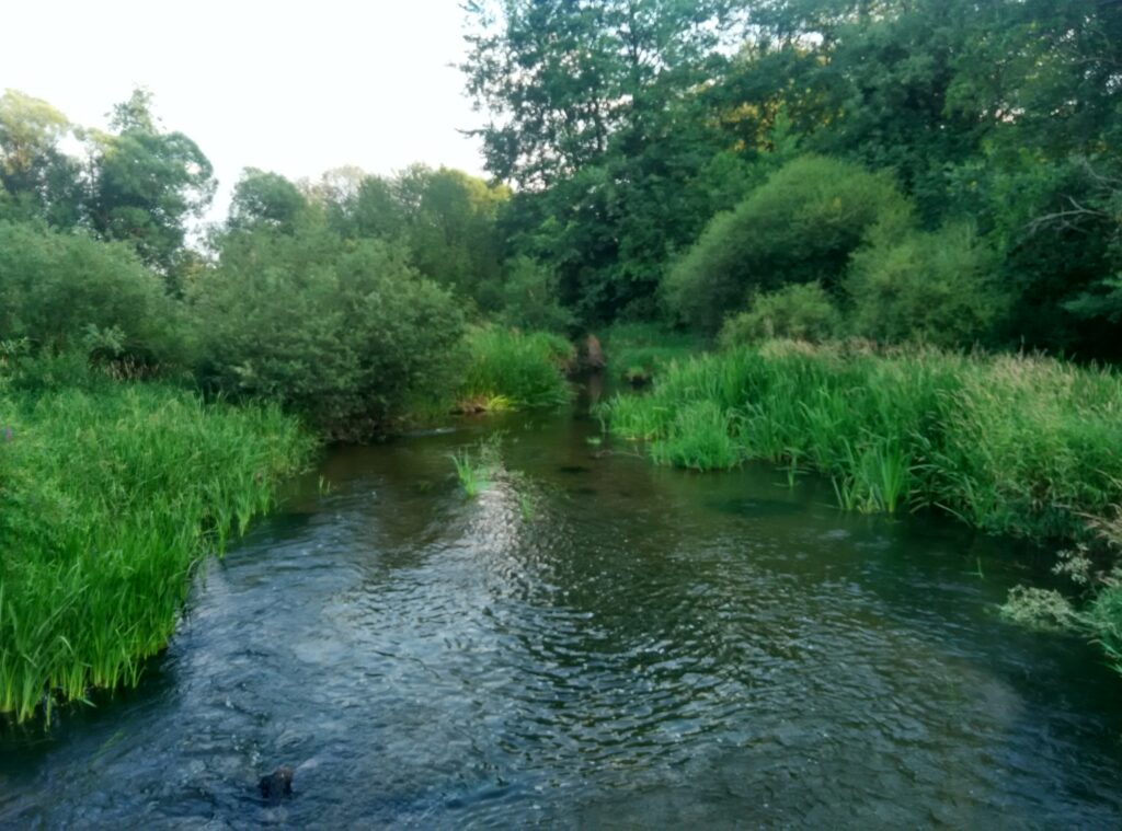
Zdjęcia na trasie
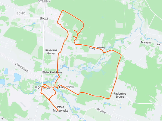
Trasa
| Podział | Dystans (km) | Czas trwania (min) | Różnica wysokości (m) | Średnia prędkość (m/s) |
|---|---|---|---|---|
| 1 | 0.03 | 138:05 | -0.1 | 28.2 |
Miejscowości
- województwo świętokrzyskie
- powiat kielecki
- gmina Morawica
- Kuby-Młyny
- Łabędziów
- Morawica
- Wola Morawicka
- Radomice
- Bieleckie Młyny
- Piaseczna Górka
- Bilcza
- Dyminy
- gmina Daleszyce
- Marzysz
- gmina Morawica
- powiat kielecki
Strava segmenty
| Nazwa | Czas trwania (s) | Czas w ruchu (s) | Odległość (m) | Średnie nachylenie (%) | Maksymalne nachylenie (%) | Wysokość maks. | Wysokość min. |
|---|---|---|---|---|---|---|---|
| Kuby-Młyny podjazd | 107 | 0 | 355.7 | 7.4 | 10.7 | 261.8 | 235.6 |
| Marzysz Drugi - Radomice Drugie (przez Wydrzysz) | 466 | 0 | 2430.6 | 0.6 | 8.9 | 257.5 | 238.4 |
| Wydrzysz podjazd | 84 | 0 | 376.7 | 4.6 | 6.5 | 256 | 238.6 |
| Wydrzyszcz - Łabędziów | 361 | 0 | 2327.8 | -0.9 | 2.4 | 255.5 | 235.2 |
Punkty GPS na trasie
Wszystkie: 1140Uproszczone: 169