07.07.2024 11:09
Ride
-
Dystans
62.23 km
-
Średnia prędkość
18.58 km/h
-
Maksymalna prędkość
44.64 km/h
-
Czas ruchu
03:20
-
Całkowity czas
03:53
-
Najniższa wysokość
222.8 m
-
Najwyższa wysokość
324.8 m
-
Suma przewyższeń
575 m
-
Kalorie
2190
-
Kwadraty
45
-
Osiągnięcia
6
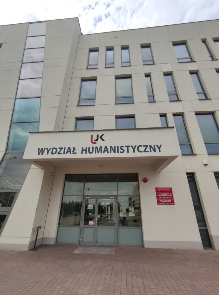
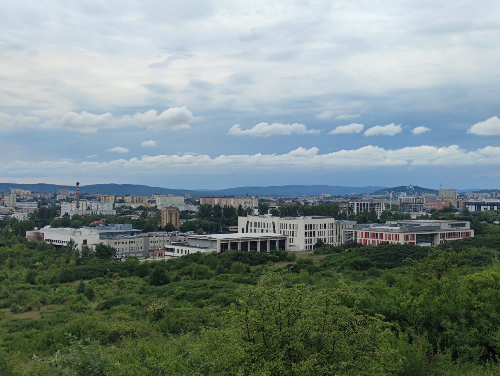
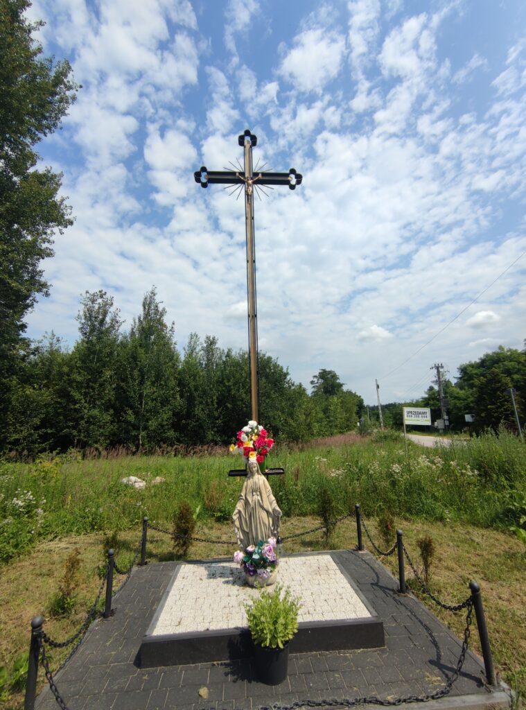
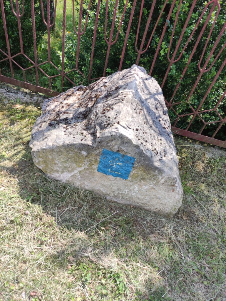
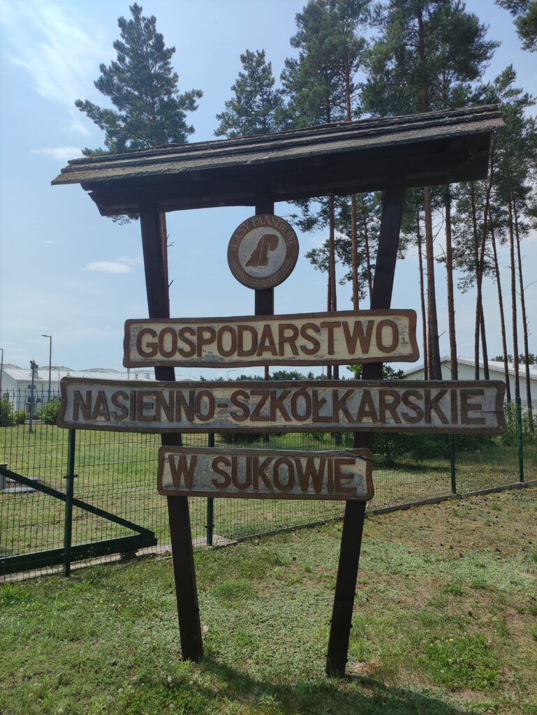
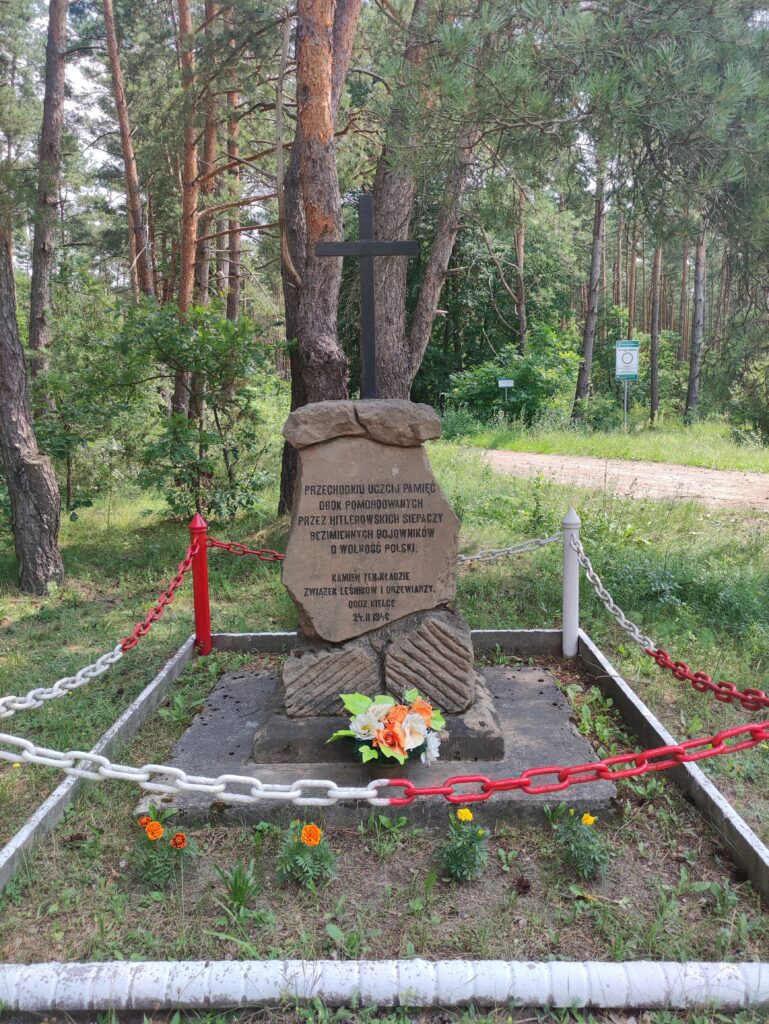
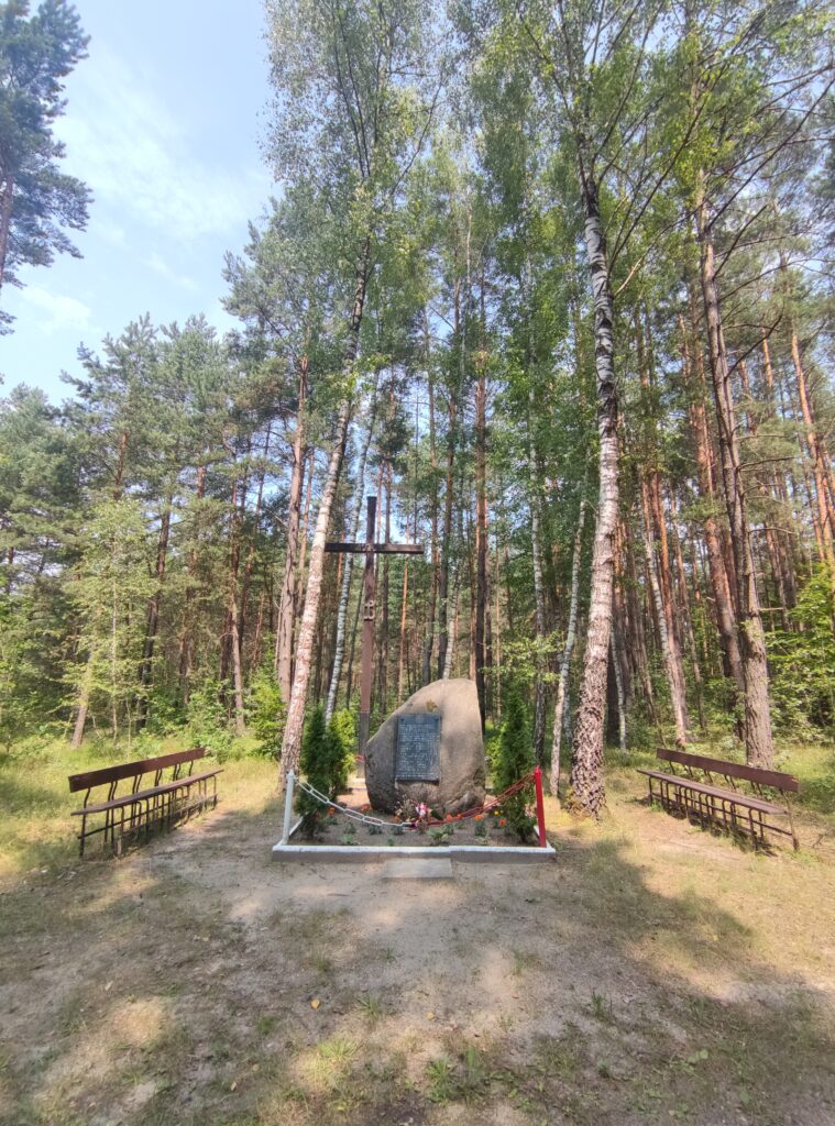
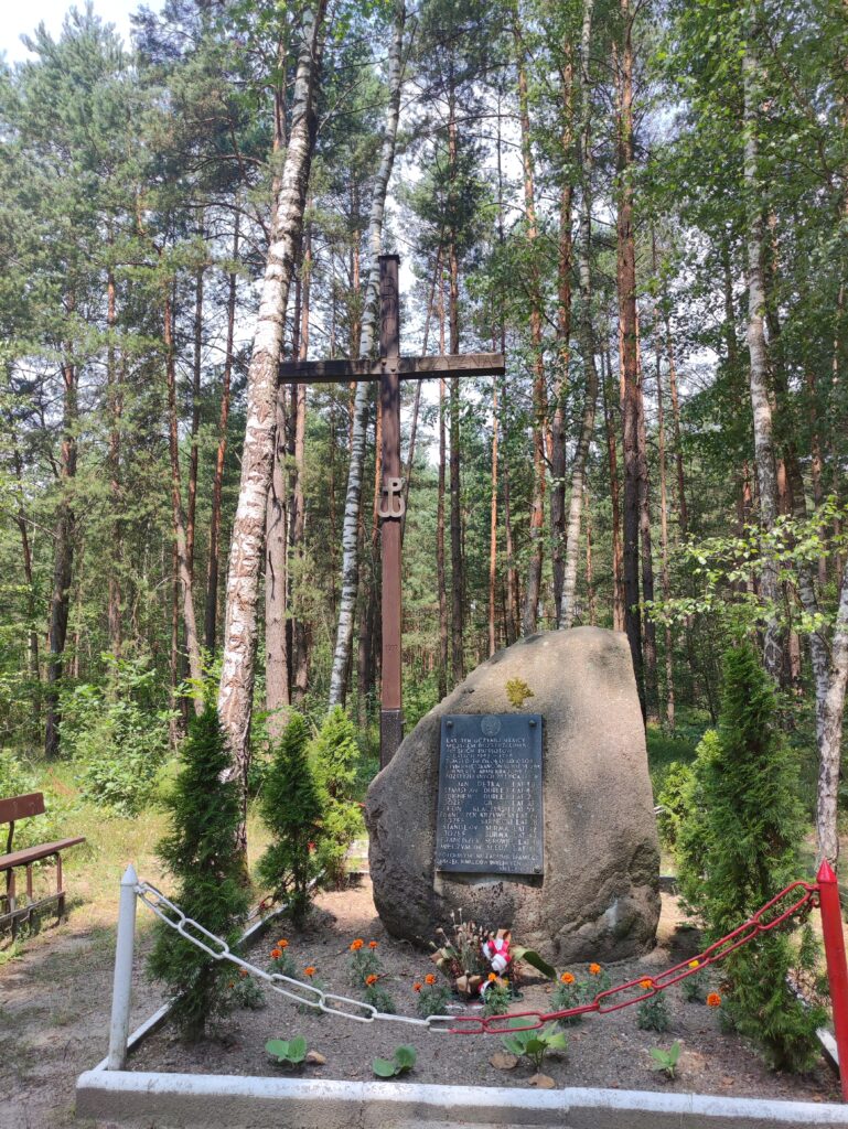
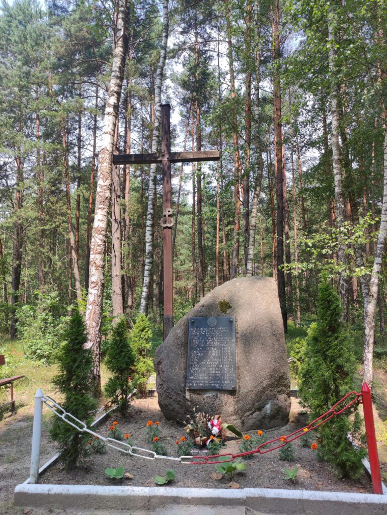
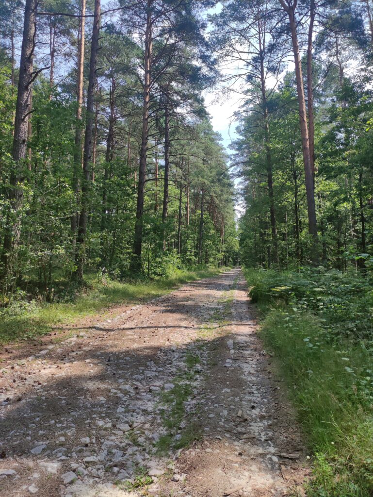
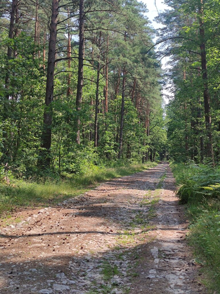
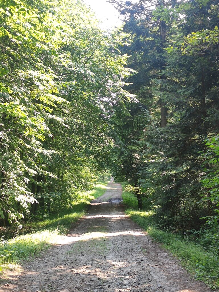
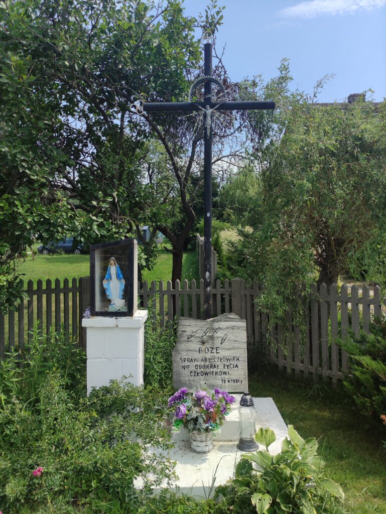
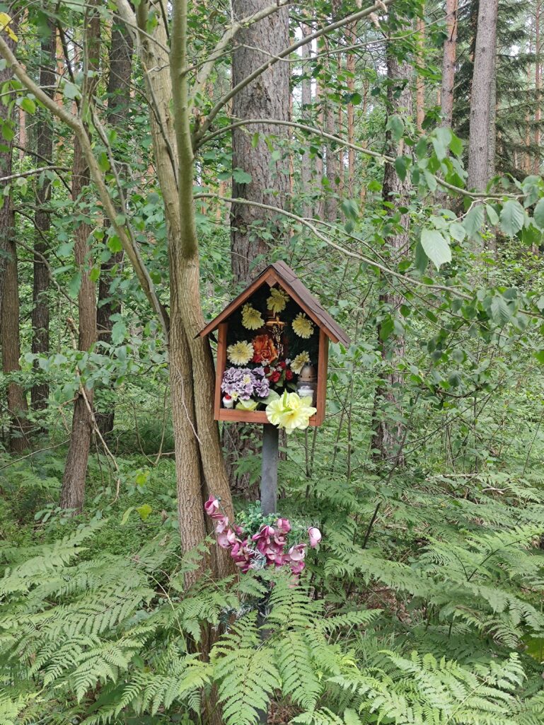
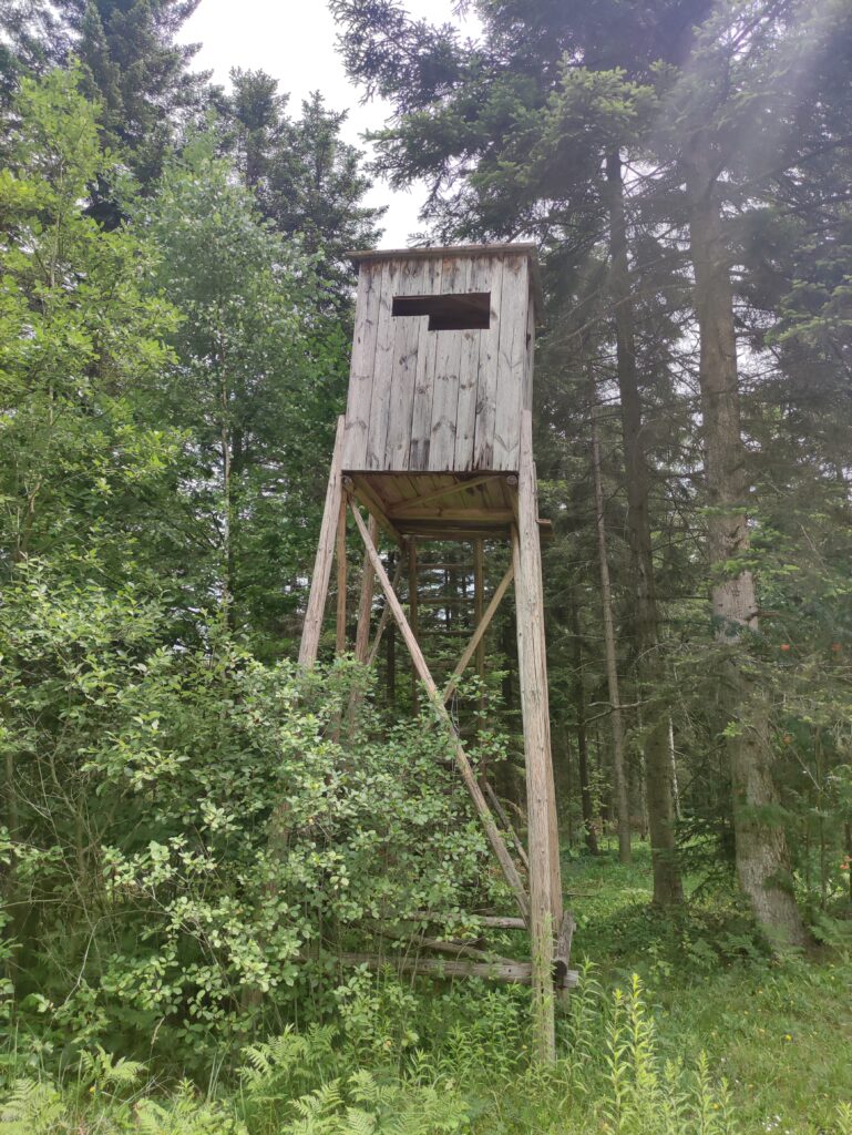
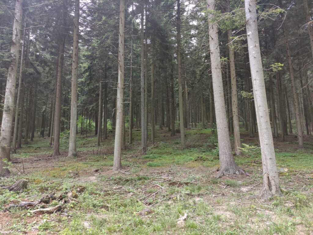
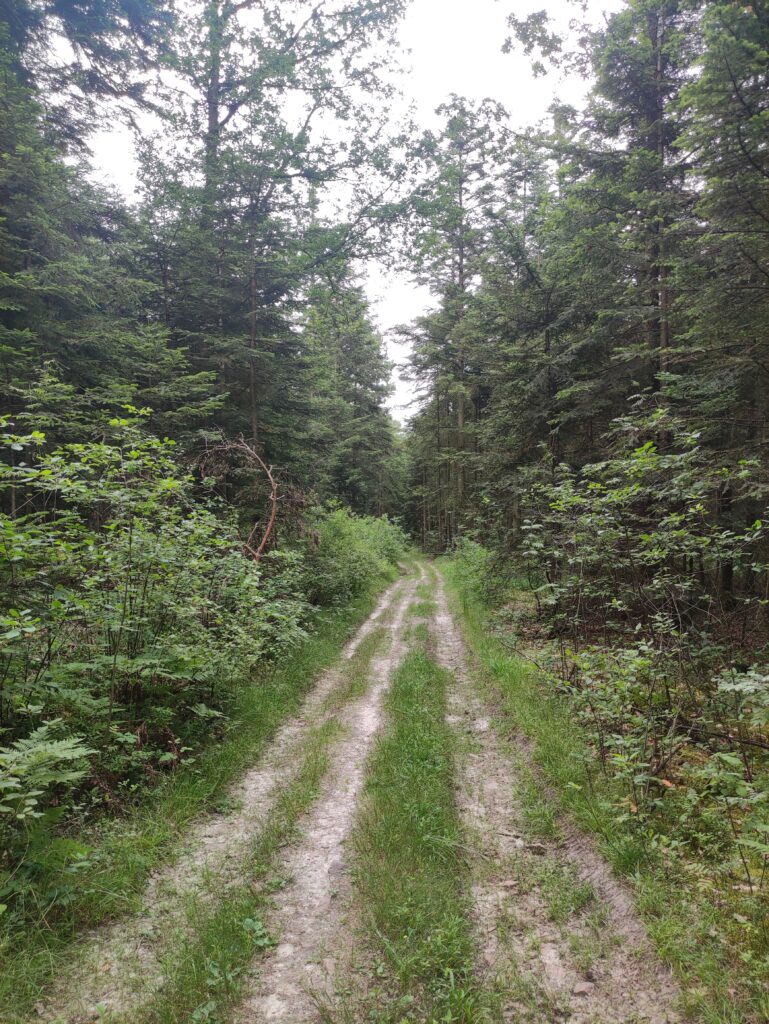
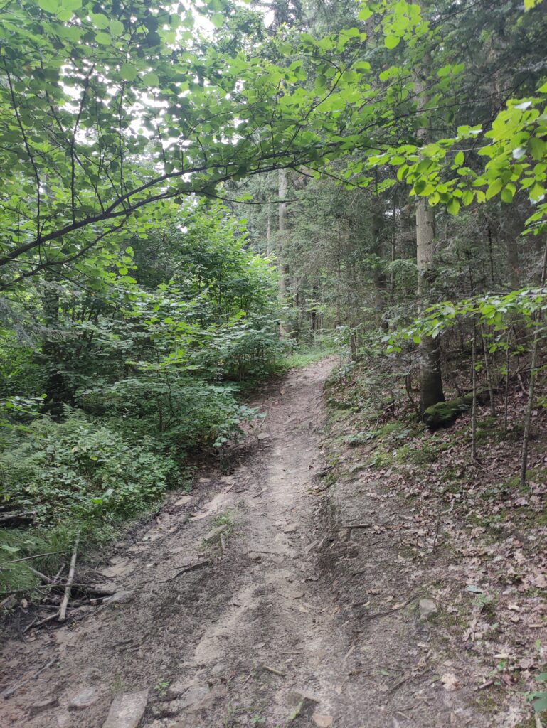
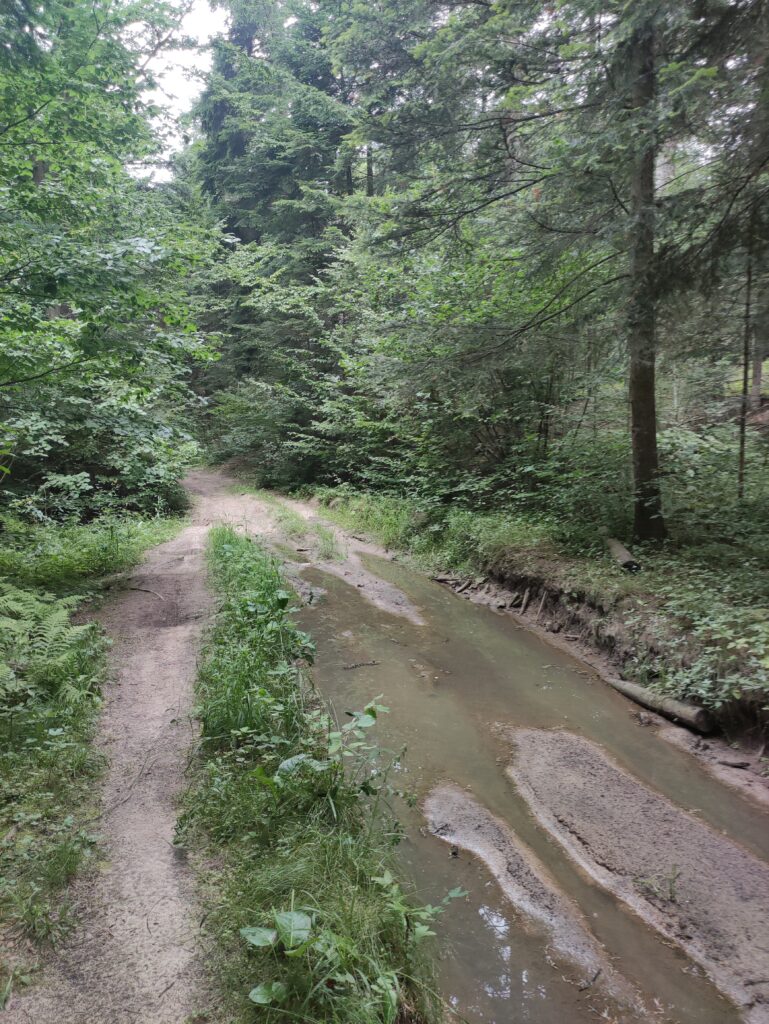
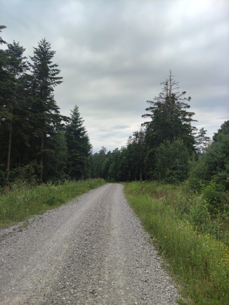
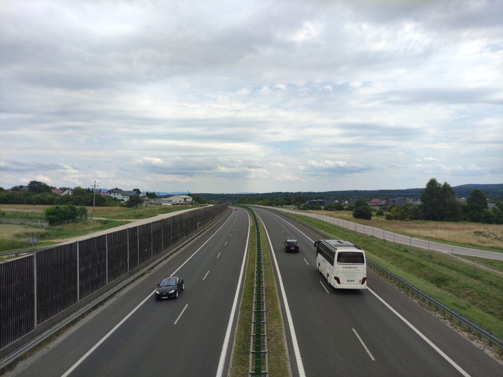
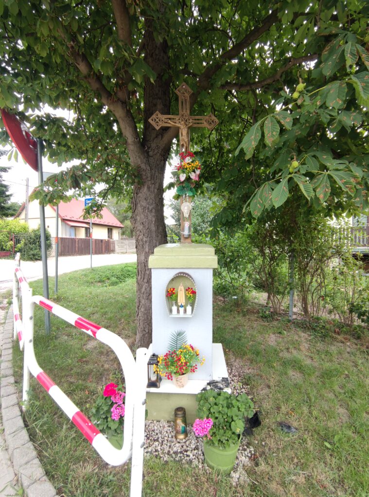
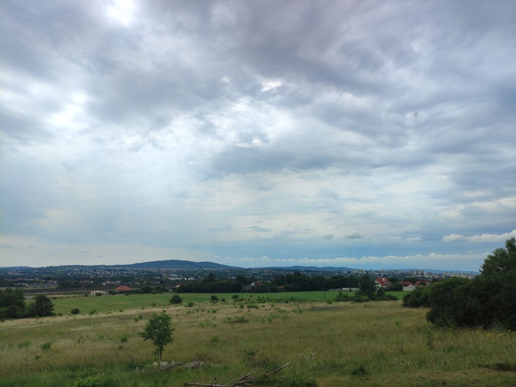
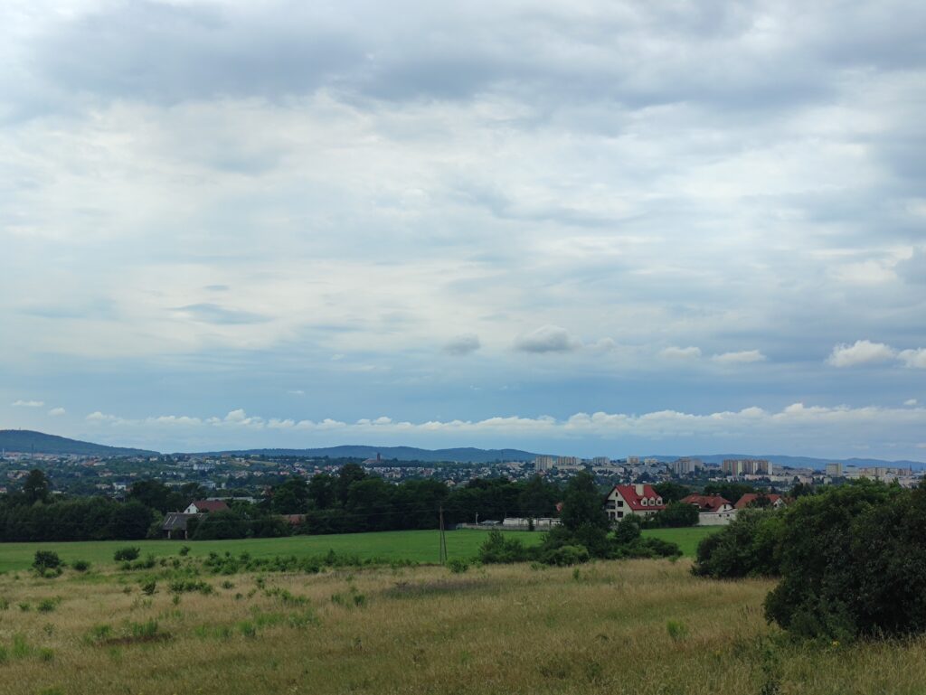
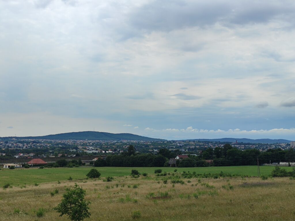
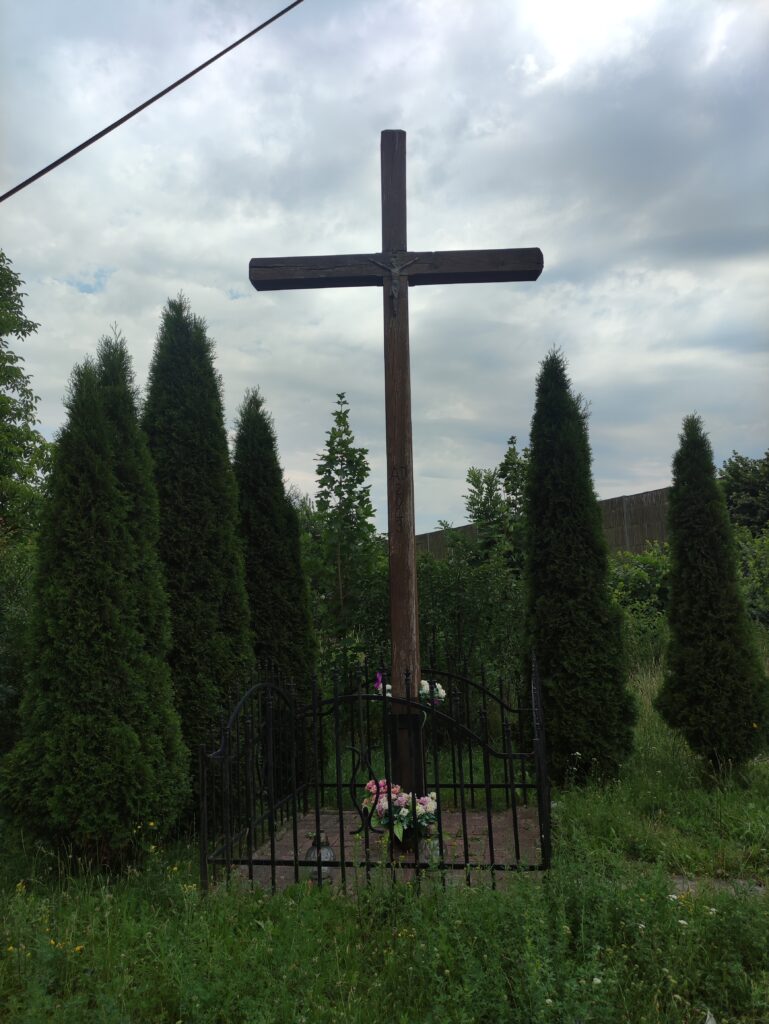
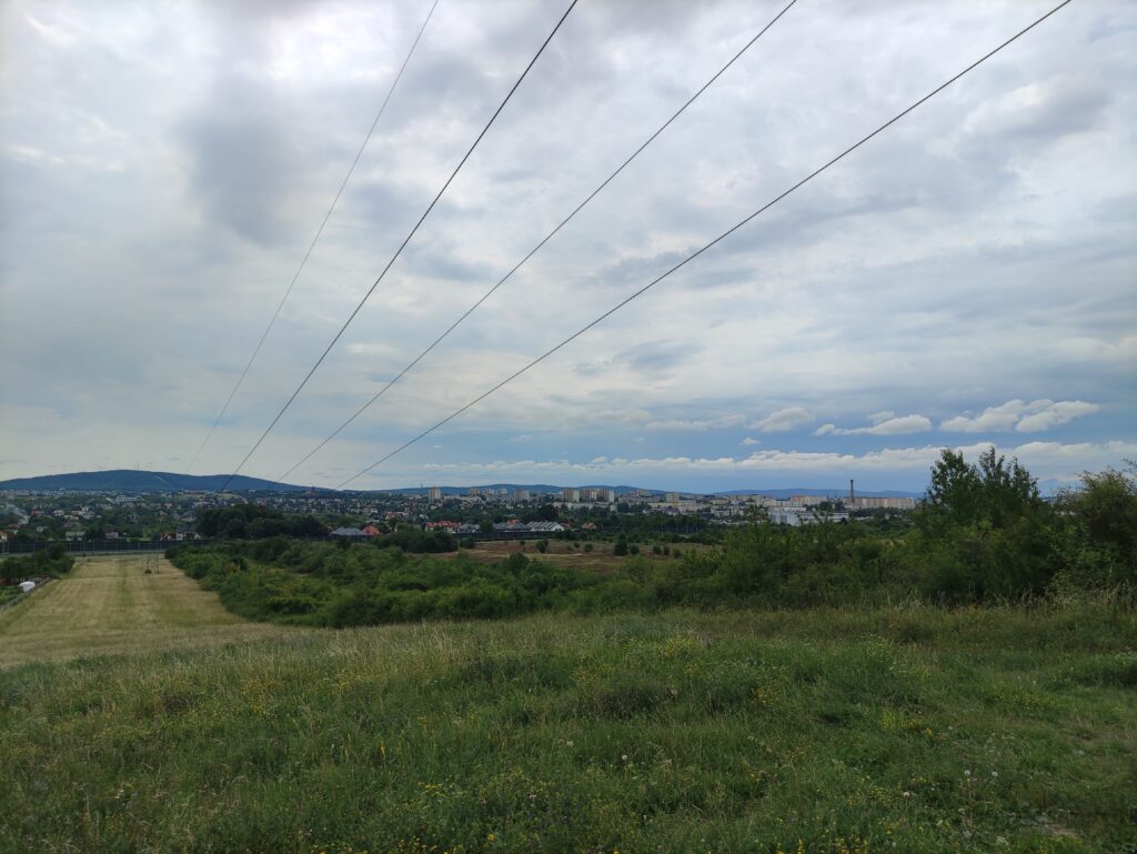
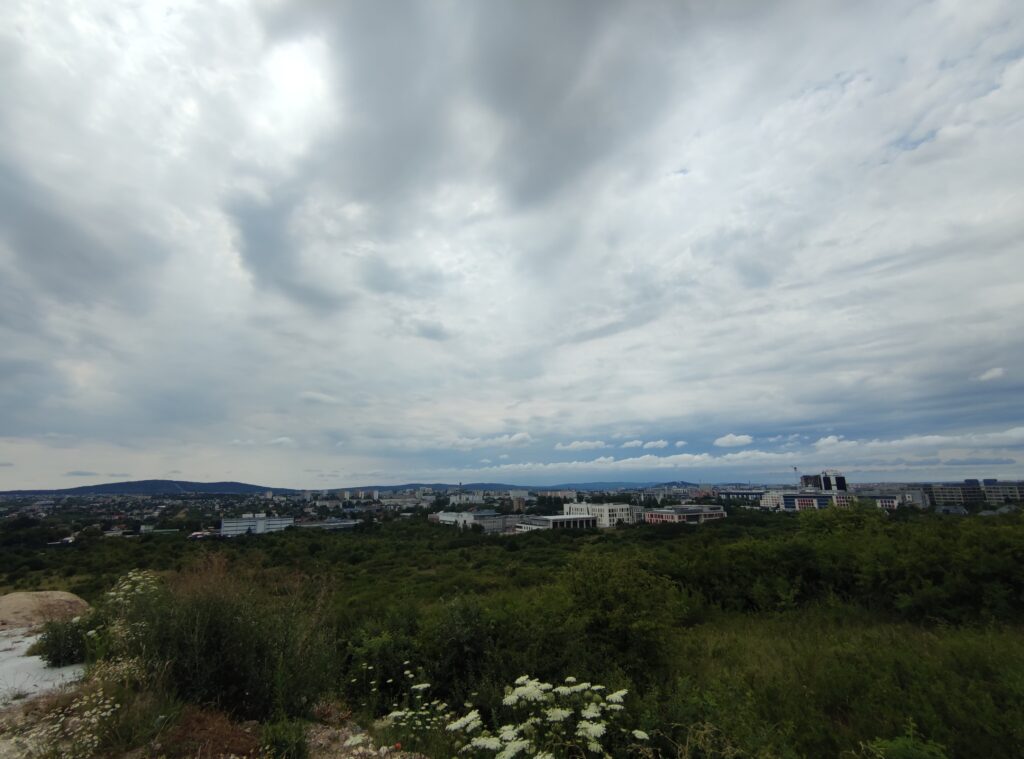
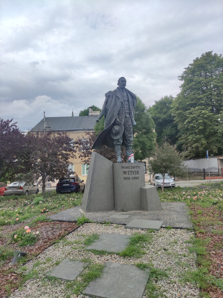
Zdjęcia na trasie
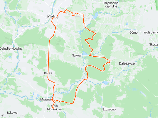


Trasa
| Podział | Dystans (km) | Czas trwania (min) | Różnica wysokości (m) | Średnia prędkość (m/s) |
|---|---|---|---|---|
| 1 | 1.05 | 7:48 | -8.4 | 5.46 |
| 2 | 0.96 | 2:27 | -2.2 | 7.07 |
| 3 | 1.00 | 3:32 | -0.8 | 5.01 |
| 4 | 1.01 | 3:07 | 2.8 | 5.6 |
| 5 | 0.99 | 2:37 | 5.6 | 6.96 |
| 6 | 1.02 | 2:2 | 5.6 | 7.75 |
| 7 | 1.01 | 2:97 | 12 | 5.65 |
| 8 | 0.98 | 2:18 | -6 | 7.45 |
| 9 | 1.03 | 2:02 | -13 | 8.49 |
| 10 | 0.97 | 2:33 | 3.8 | 6.91 |
| 11 | 1.00 | 2:47 | 9.2 | 6.77 |
| 12 | 1.01 | 3:35 | -10.8 | 6.72 |
| 13 | 0.99 | 3:62 | -2.8 | 4.8 |
| 14 | 0.99 | 3:6 | 2.6 | 4.75 |
| 15 | 1.01 | 8:92 | 22.6 | 3 |
| 16 | 1.03 | 3:87 | 3.8 | 4.42 |
| 17 | 0.97 | 4:18 | -3.6 | 4.52 |
| 18 | 1.01 | 3:97 | 0.4 | 5.16 |
| 19 | 0.99 | 3:07 | 10.4 | 5.4 |
| 20 | 1.00 | 4:2 | 5.8 | 4.33 |
| 21 | 1.01 | 3:57 | -12.6 | 5.74 |
| 22 | 1.03 | 2:77 | -7 | 7.37 |
| 23 | 0.98 | 2:1 | -3.2 | 7.81 |
| 24 | 1.01 | 2:03 | -11.2 | 8.29 |
| 25 | 0.98 | 2:78 | 2.2 | 5.88 |
| 26 | 0.99 | 3:23 | 18.8 | 5.12 |
| 27 | 1.00 | 4:75 | 35.6 | 4.29 |
| 28 | 0.99 | 2:38 | -28.4 | 6.94 |
| 29 | 0.99 | 5:95 | 25.6 | 3.43 |
| 30 | 1.02 | 7:52 | 20.2 | 2.74 |
| 31 | 0.99 | 2:1 | -18.8 | 7.84 |
| 32 | 1.02 | 3:73 | -10 | 5.59 |
| 33 | 1.00 | 2:07 | -39.4 | 8.07 |
| 34 | 0.99 | 4:63 | 5.2 | 4.29 |
| 35 | 1.01 | 5:18 | 8.4 | 3.63 |
| 36 | 0.98 | 5:12 | 26.8 | 3.83 |
| 37 | 1.03 | 4:93 | 7.6 | 4.22 |
| 38 | 0.98 | 2:4 | -25.2 | 6.77 |
| 39 | 0.98 | 4:67 | 27.6 | 3.82 |
| 40 | 1.02 | 6:62 | 9.2 | 3.71 |
| 41 | 0.98 | 3:83 | -36 | 4.27 |
| 42 | 1.01 | 5:75 | -1.6 | 4 |
| 43 | 0.99 | 3:65 | -12.4 | 5.42 |
| 44 | 1.02 | 6:23 | -4.8 | 3.76 |
| 45 | 0.98 | 3:17 | 11.2 | 5.17 |
| 46 | 0.99 | 3:02 | 2.4 | 5.65 |
| 47 | 1.03 | 7:4 | -3 | 4.03 |
| 48 | 0.99 | 3 | 28.2 | 5.5 |
| 49 | 1.02 | 2:28 | -6.4 | 7.42 |
| 50 | 1.02 | 2:03 | -23 | 8.35 |
| 51 | 0.99 | 2:35 | -1.8 | 7.18 |
| 52 | 1.00 | 1:77 | -16 | 9.4 |
| 53 | 0.99 | 12:92 | 2.8 | 6.25 |
| 54 | 1.01 | 2:05 | -6 | 8.22 |
| 55 | 0.97 | 2:57 | -1.2 | 6.28 |
| 56 | 1.01 | 2:63 | 0.8 | 6.41 |
| 57 | 1.04 | 2:15 | -8.6 | 8.06 |
| 58 | 0.95 | 2:53 | -8.6 | 6.23 |
| 59 | 0.99 | 2:45 | -5.6 | 6.76 |
| 60 | 1.00 | 3:58 | 0 | 4.67 |
| 61 | 1.00 | 3:38 | -0.8 | 4.92 |
| 62 | 1.02 | 3:17 | 8.6 | 5.56 |
| 63 | 0.21 | 1:22 | 3.4 | 3.42 |
Miejscowości
- województwo świętokrzyskie
- powiat kielecki
- gmina Masłów
- Domaszowice
- gmina Morawica
- Łabędziów
- Morawica
- Wola Morawicka
- Radomice
- Bieleckie Młyny
- Piaseczna Górka
- Bilcza
- gmina Daleszyce
- Suków
- Marzysz
- Kranów
- Niestachów
- gmina Górno
- Cedzyna
- Radlin
- gmina Masłów
- Kielce
- Barwinek
- Nowy Folwark
- Wietrznia
- Słoneczne Wzgórze
- Bocianek
- Śródmieście
- Osiedle Na Stoku
- powiat kielecki
Strava segmenty
| Nazwa | Czas trwania (s) | Czas w ruchu (s) | Odległość (m) | Średnie nachylenie (%) | Maksymalne nachylenie (%) | Wysokość maks. | Wysokość min. |
|---|---|---|---|---|---|---|---|
| Radomice Las | 275 | 275 | 1986.1 | 0.7 | 7.2 | 249.8 | 236 |
| Radomice - Marzysz hopki | 538 | 538 | 3934.7 | -0.2 | 6.6 | 257.3 | 236.2 |
| [North] Hopka Wydrzysz | 65 | 65 | 327.1 | 4.2 | 7.5 | 262.8 | 249 |
| Ataaaaaaak! do skrzyżowania! | 189 | 189 | 1562.1 | -1.4 | 0.9 | 275.4 | 252 |
| Marzysz Pierwszy | 255 | 255 | 1731.8 | 0 | 7.5 | 255.5 | 236.1 |
| Marzysz Drugi - Zjazd do Młynów | 137 | 137 | 923.7 | 0.3 | 4.8 | 245.2 | 236.3 |
| Zjazd do Młynów - Marzysz Pierwszy | 99 | 99 | 618.7 | 0 | 4.3 | 249.4 | 243.3 |
| Marzysz Pierwszy - Szkoda | 111 | 84 | 388.7 | 0 | 3.7 | 240.7 | 238 |
| pomnik Papiernia | 456 | 297 | 748.6 | 4.5 | 6.7 | 277.6 | 244 |
| Droga pożarowa-szutry -RŚ | 1070 | 904 | 3606.2 | 0.7 | 13.5 | 288 | 253 |
| Niestachów do szutrów -RŚ | 264 | 264 | 2074.9 | 0 | 1.3 | 298.6 | 295.6 |
| Suków Zalew UP szutrem | 96 | 96 | 467.3 | 2.5 | 8.2 | 264.2 | 252.6 |
| Suków pożarówka w stronę Ogrodzenia | 453 | 453 | 1873.9 | 2.7 | 9.8 | 322.7 | 270.8 |
| Podjazd Poż-Poż | 711 | 586 | 1767.5 | 3 | 8.6 | 333.8 | 280.4 |
| Nad eSką | 139 | 104 | 397.6 | 4.8 | 6.9 | 289.9 | 270.7 |
| Przyborowskiego, krótki zjazd | 53 | 53 | 491 | -4.8 | -0.6 | 305.3 | 281.7 |
| Test interwał - Morcinka | 140 | 140 | 447.6 | 6.7 | 16.2 | 306.4 | 276.2 |
| Ciekocka od Domaszowic | 434 | 342 | 1073.2 | 0.4 | 8.5 | 329.2 | 311.6 |
| dn-Swierczynska-w-dol | 124 | 124 | 558.8 | -5.9 | -1.3 | 296.2 | 263.2 |
| Świerczyńska stromy początek | 76 | 76 | 308.7 | -9 | -4.7 | 317.3 | 289.4 |
| Solidarności w dół - (Świętokrzyska - Tysiąclecia) | 91 | 91 | 505.4 | -1.8 | 0.3 | 277.6 | 268.2 |
| Solidarności (Tysiąclecia - IX Wieków) | 89 | 89 | 554.2 | -0.1 | 2.1 | 270.6 | 268 |
| Rynek - Katedra | 86 | 86 | 361.5 | 2.8 | 6.3 | 279.6 | 269 |
| Wojska Polskiego (Zgoda - Żeromskiego) | 74 | 74 | 335.9 | 2.9 | 4.6 | 289.5 | 279.9 |
| Wojska Polskiego (Żeromskiego - Dymińska) | 53 | 53 | 384 | -2.5 | 4.7 | 293.6 | 282.4 |
| ścieżka Tarnowska od Premy do Castoramy | 225 | 171 | 659.1 | 2.5 | 4.4 | 286.1 | 269.4 |
| Ks.P.Ściegiennego | 1229 | 608 | 4537.2 | -1 | 3.9 | 302.9 | 251 |
| Lecznica - Rolmet | 178 | 178 | 1409.4 | -1.7 | 3.6 | 307 | 279.4 |
| Do Modrzewia - Bilcza Żeromskiego | 1099 | 478 | 3603.8 | -0.8 | 2.7 | 309.4 | 282.2 |
Punkty GPS na trasie
Wszystkie: 1918Uproszczone: 323