06.07.2025 09:02
Ride
-
Dystans
87.76 km
-
Średnia prędkość
16.33 km/h
-
Maksymalna prędkość
50.4 km/h
-
Czas ruchu
05:22
-
Całkowity czas
06:37
-
Najniższa wysokość
197.6 m
-
Najwyższa wysokość
318.4 m
-
Suma przewyższeń
570 m
-
Kalorie
3047
-
Kwadraty
61
-
Osiągnięcia
3
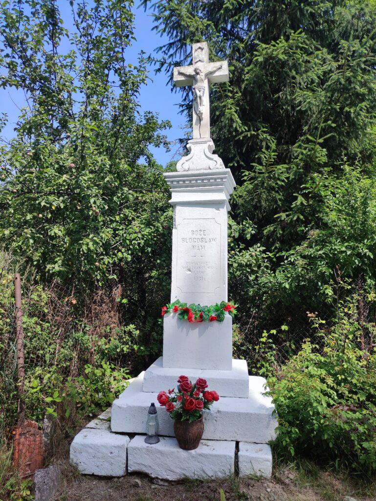
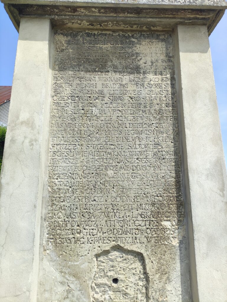
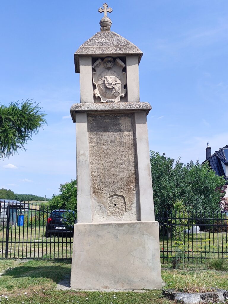
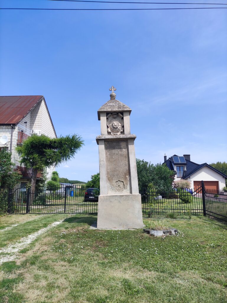
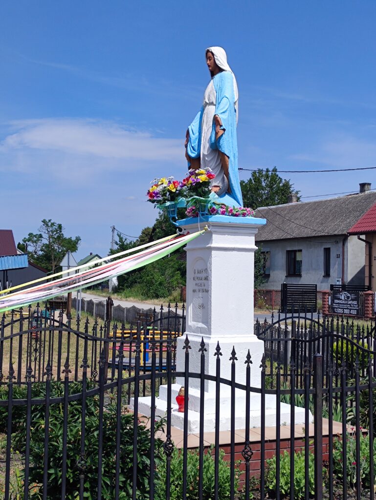
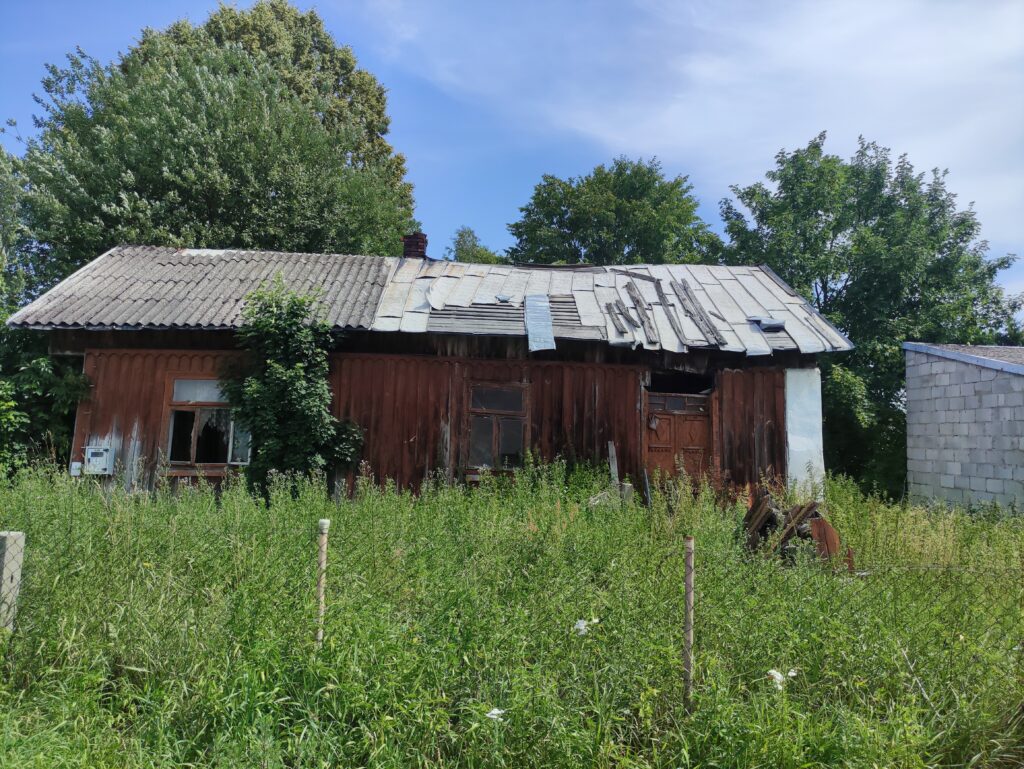
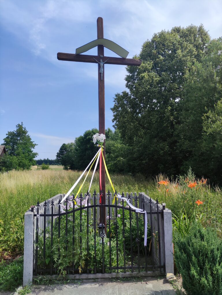
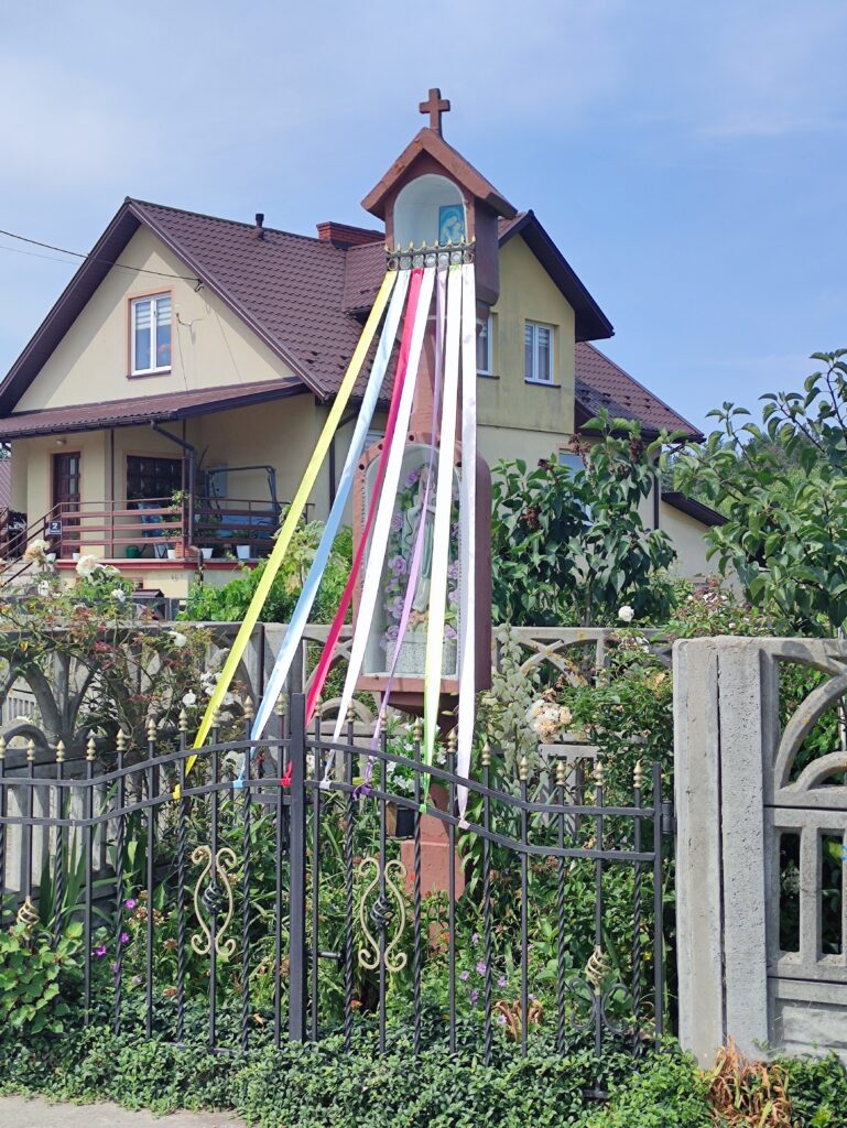
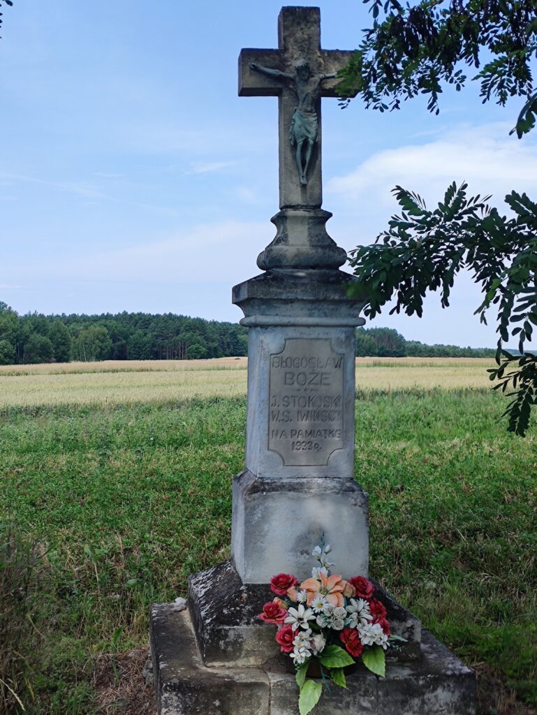
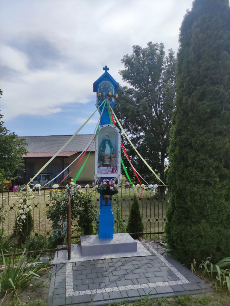
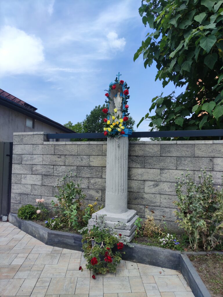
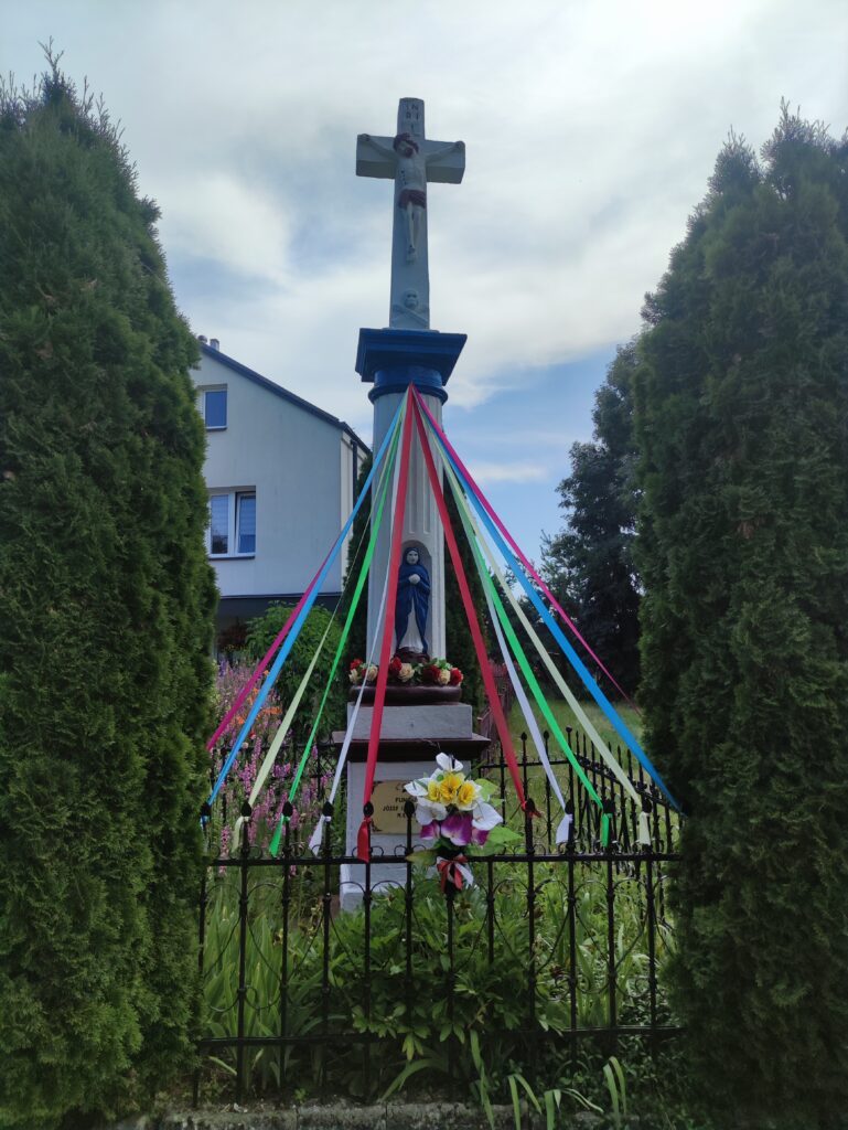
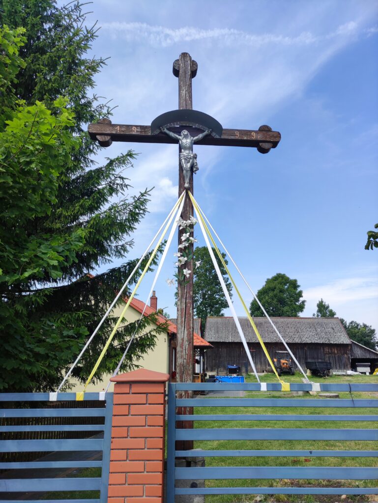
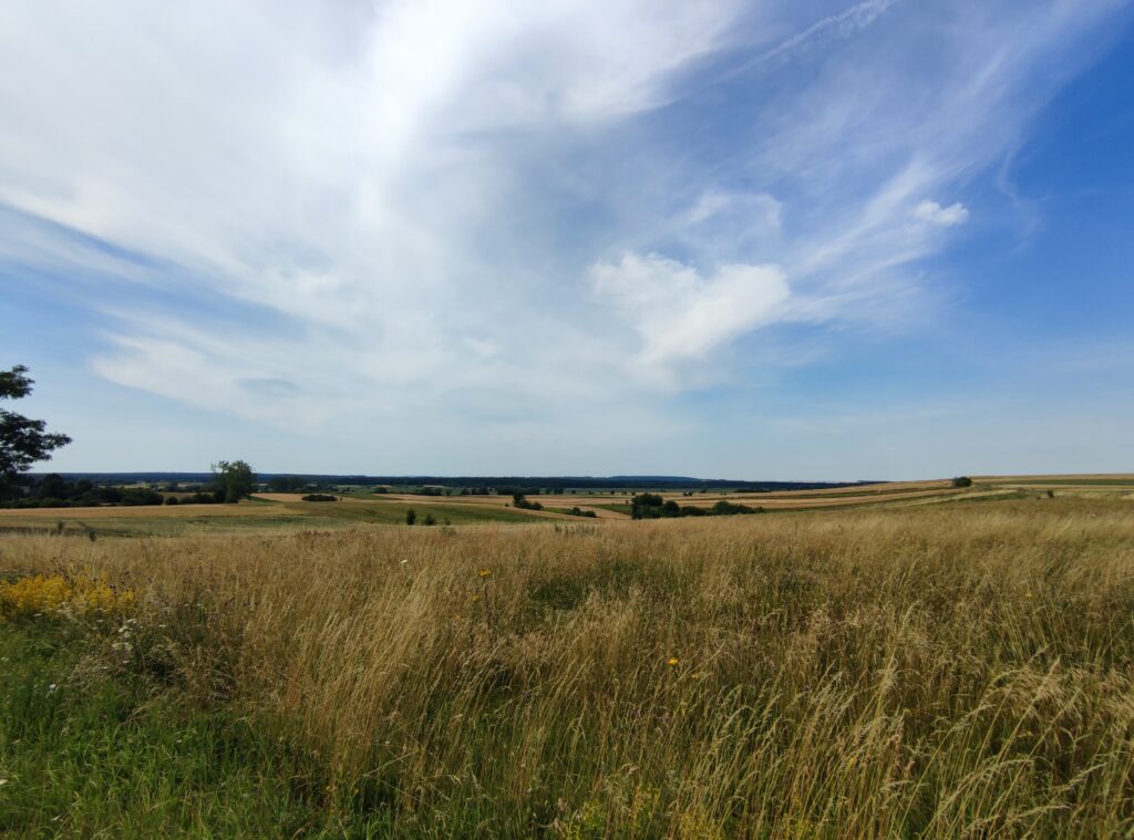
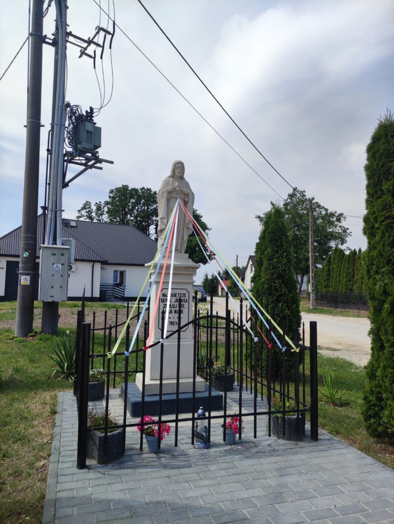
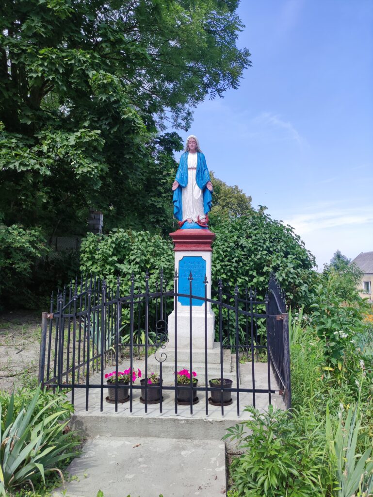
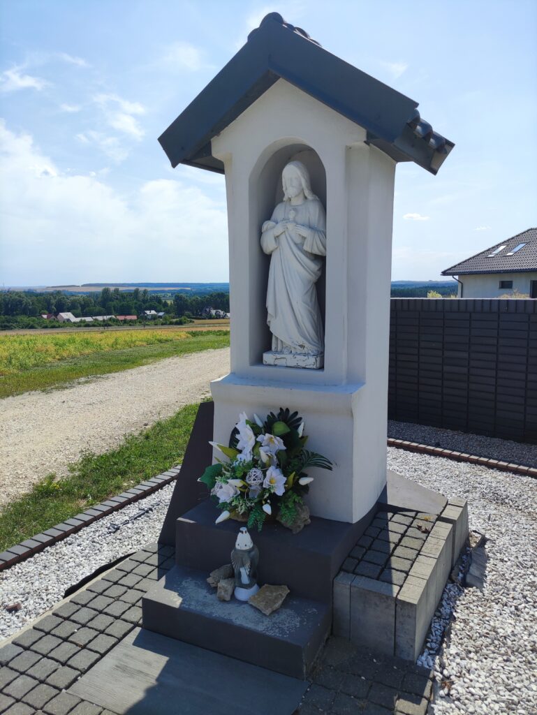
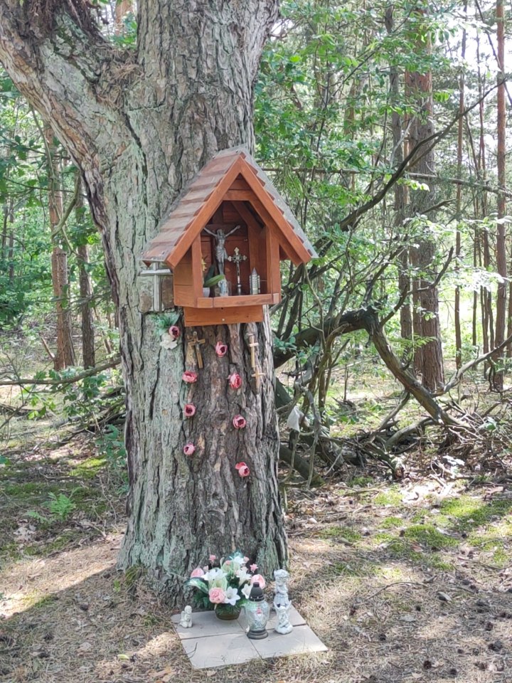
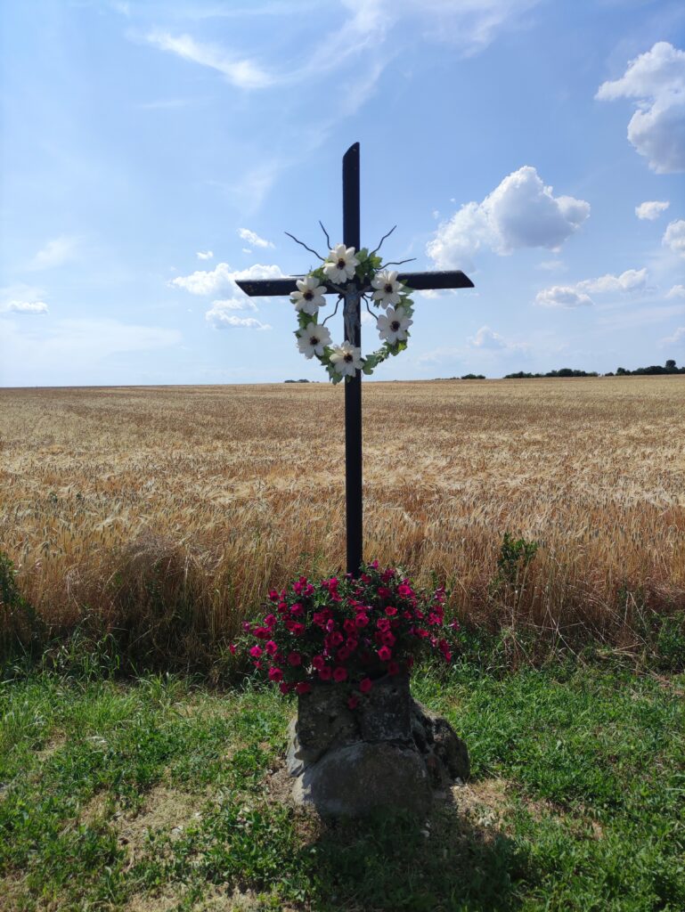
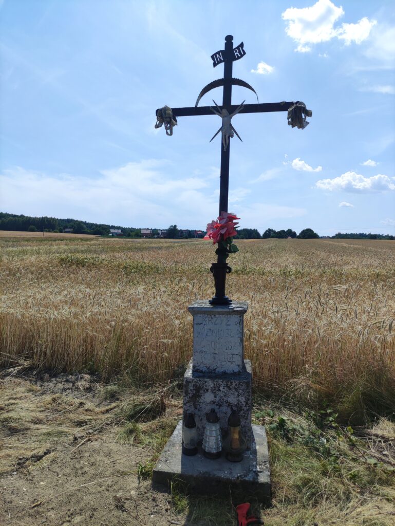
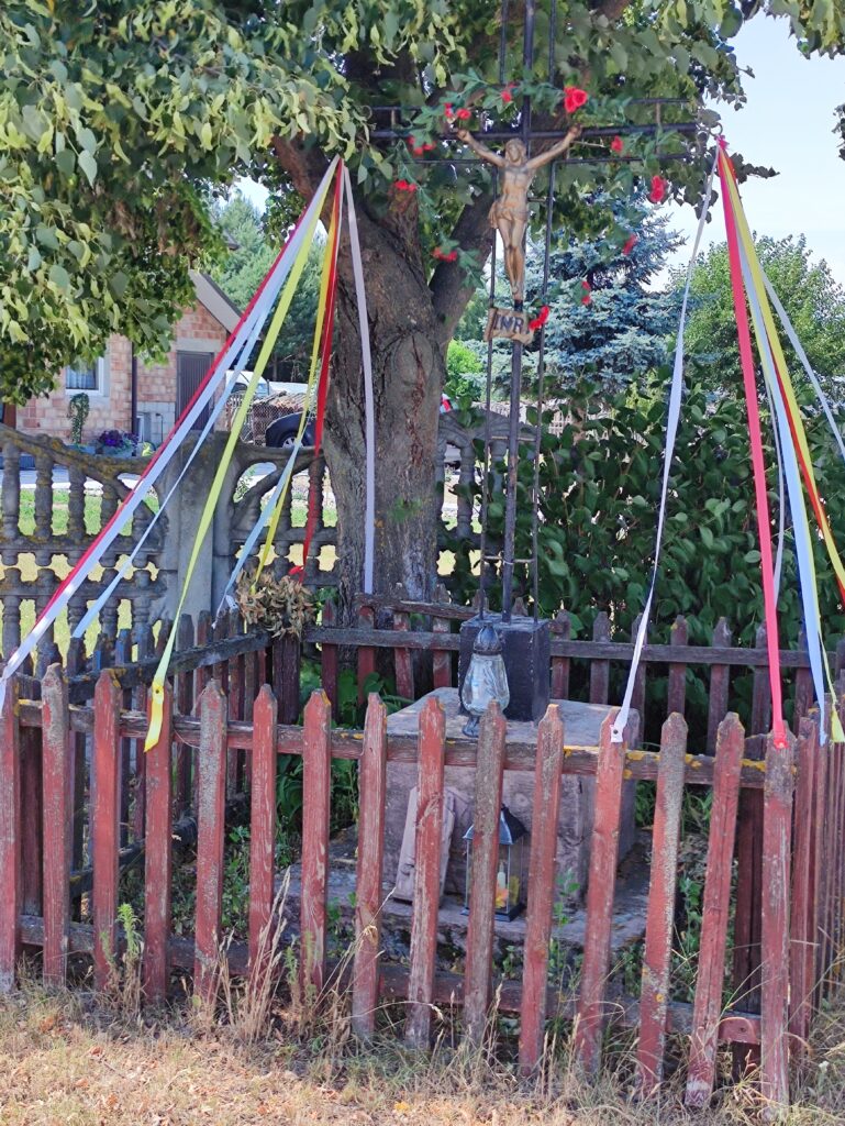
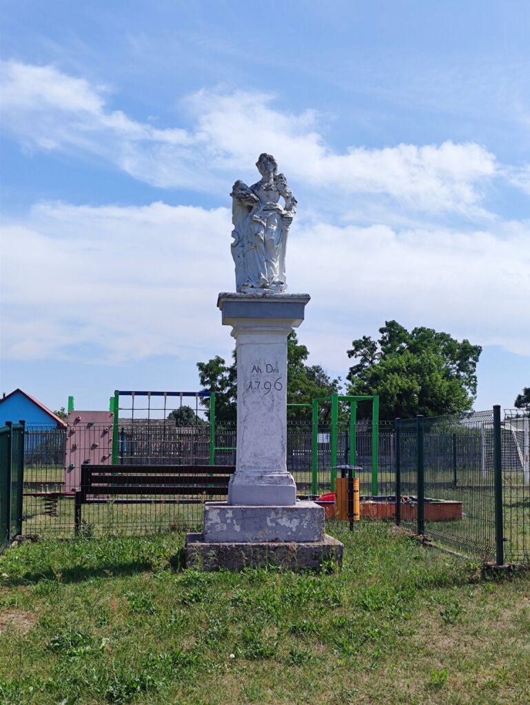
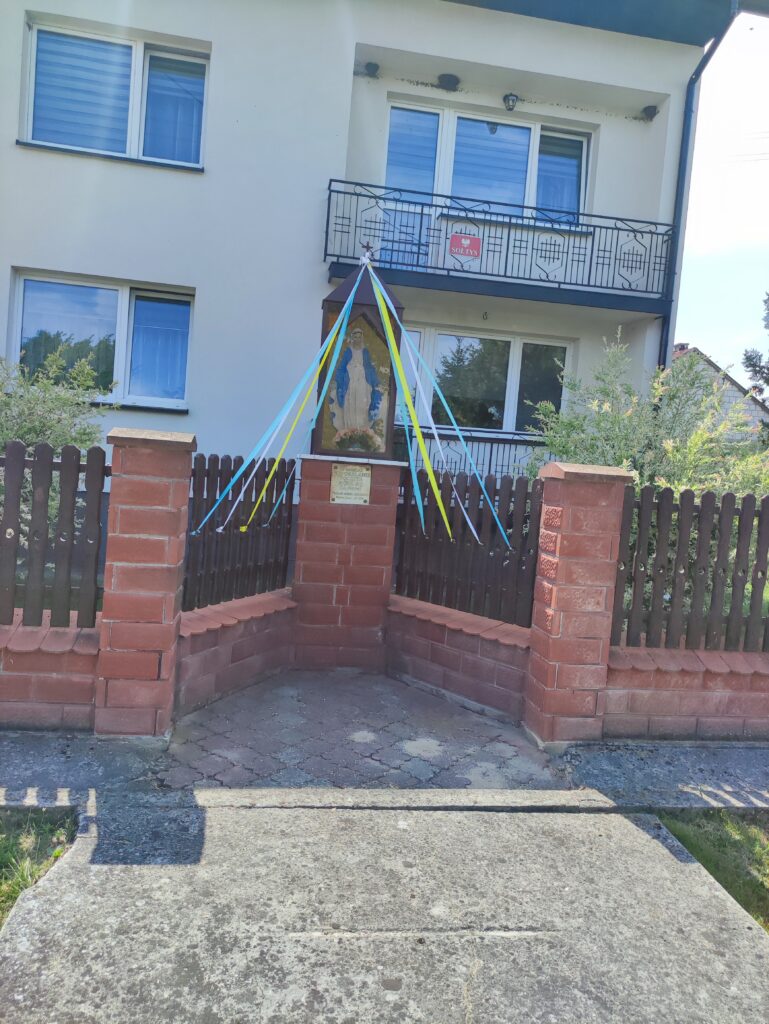
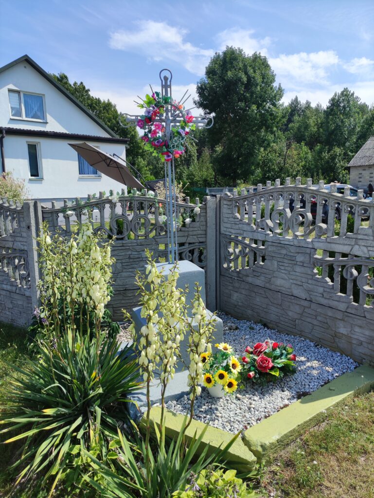
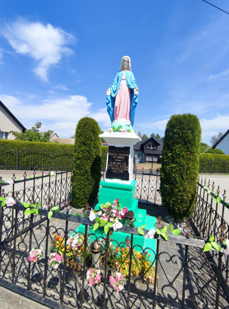
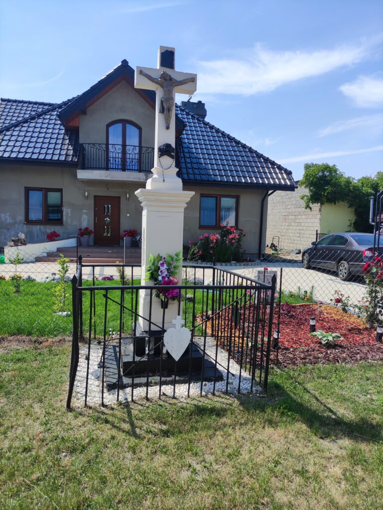
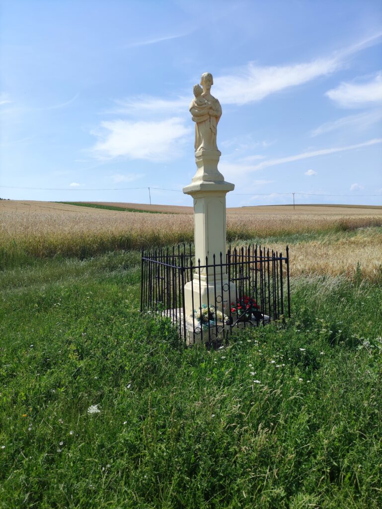
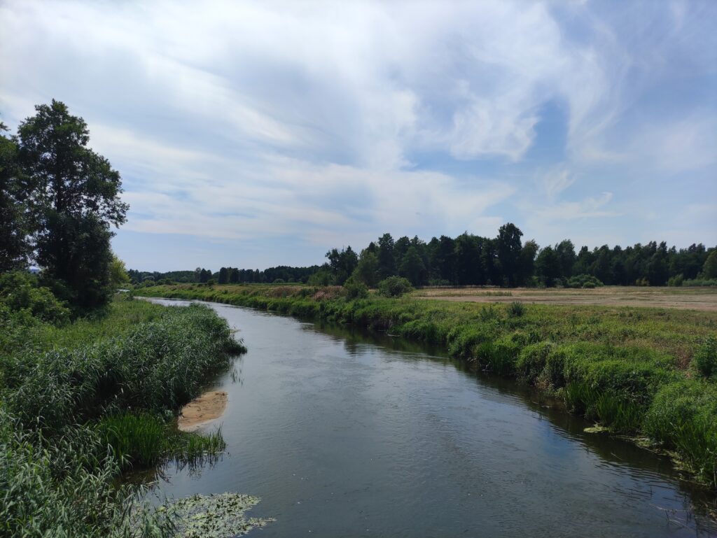
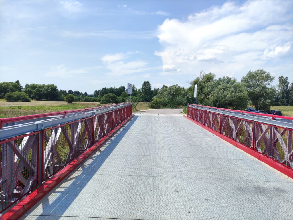
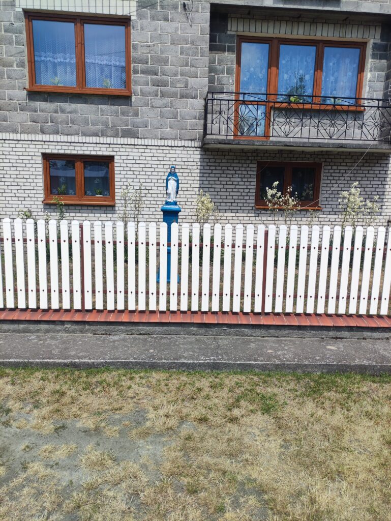
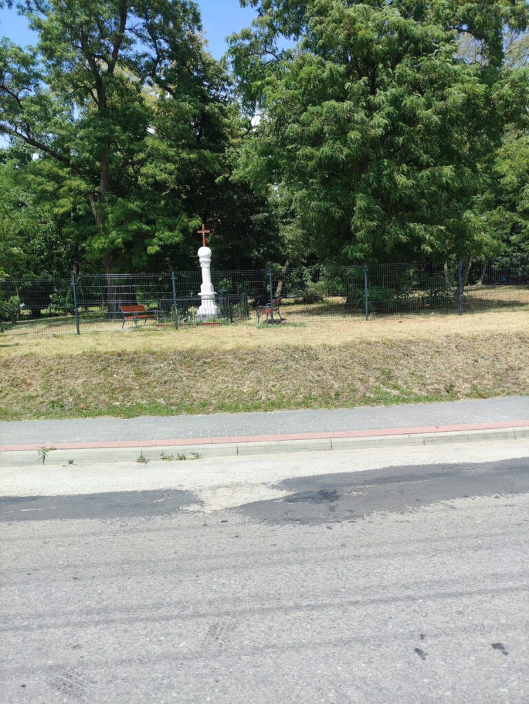
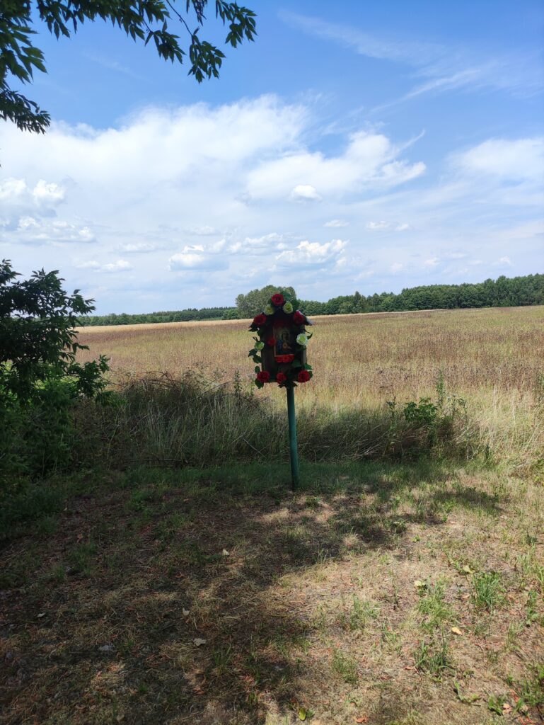
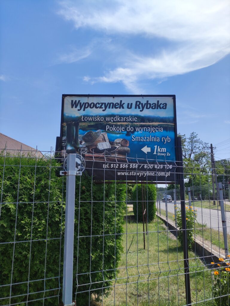
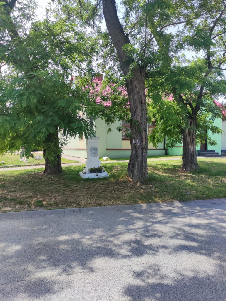
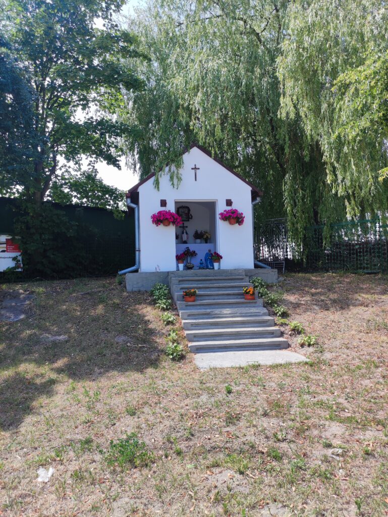
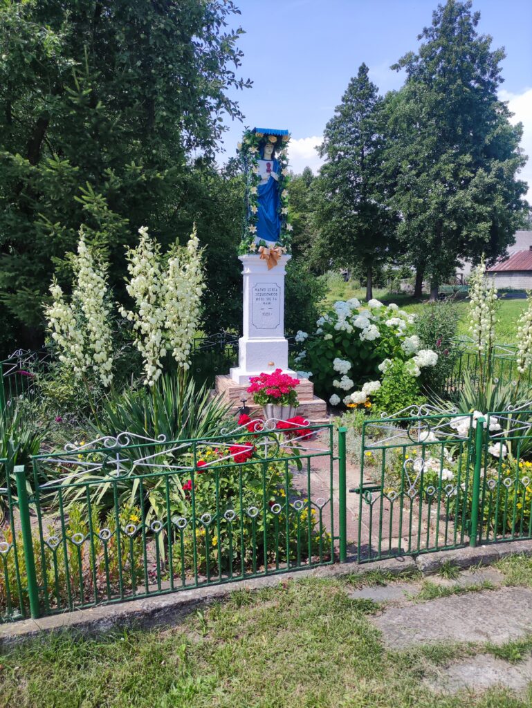
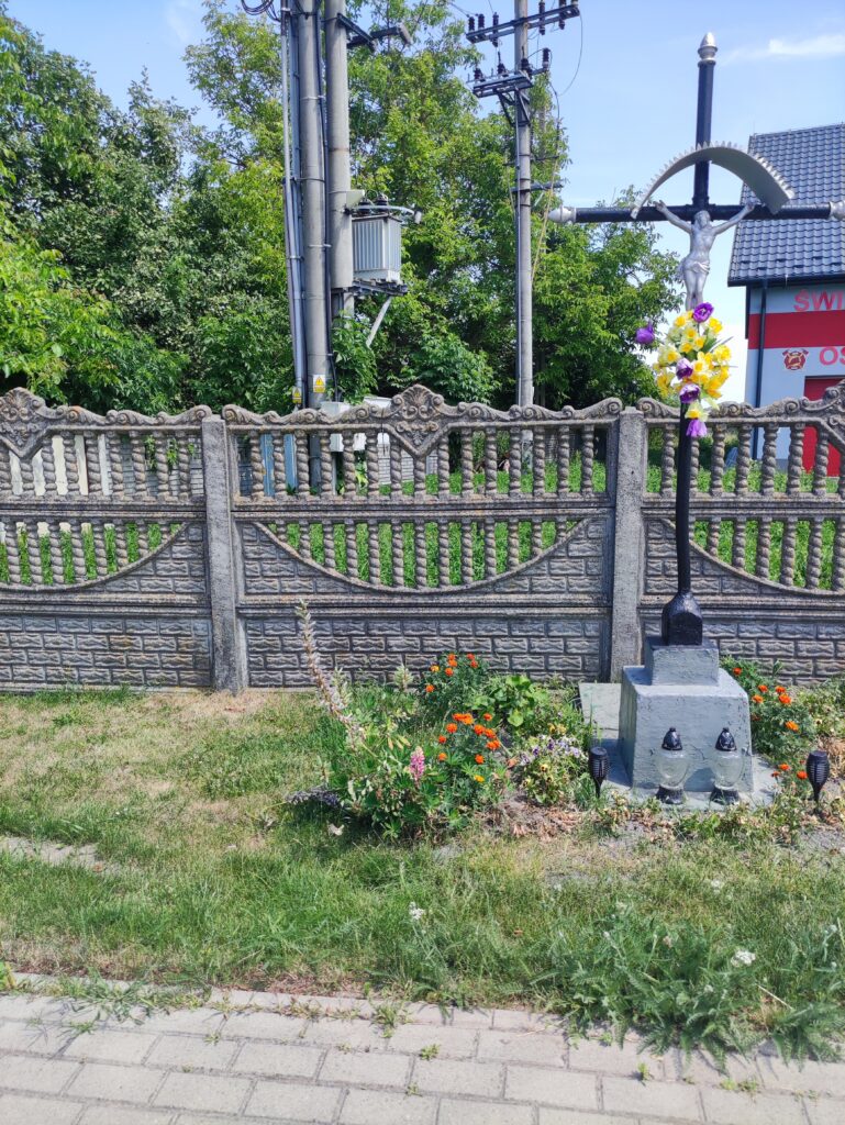
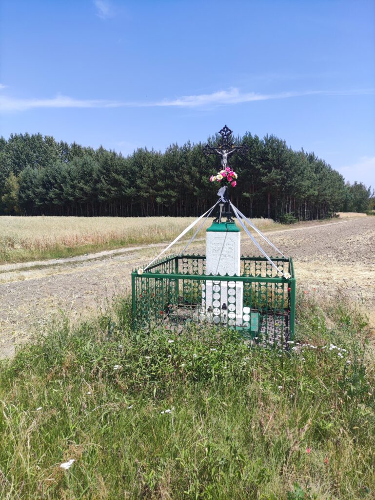
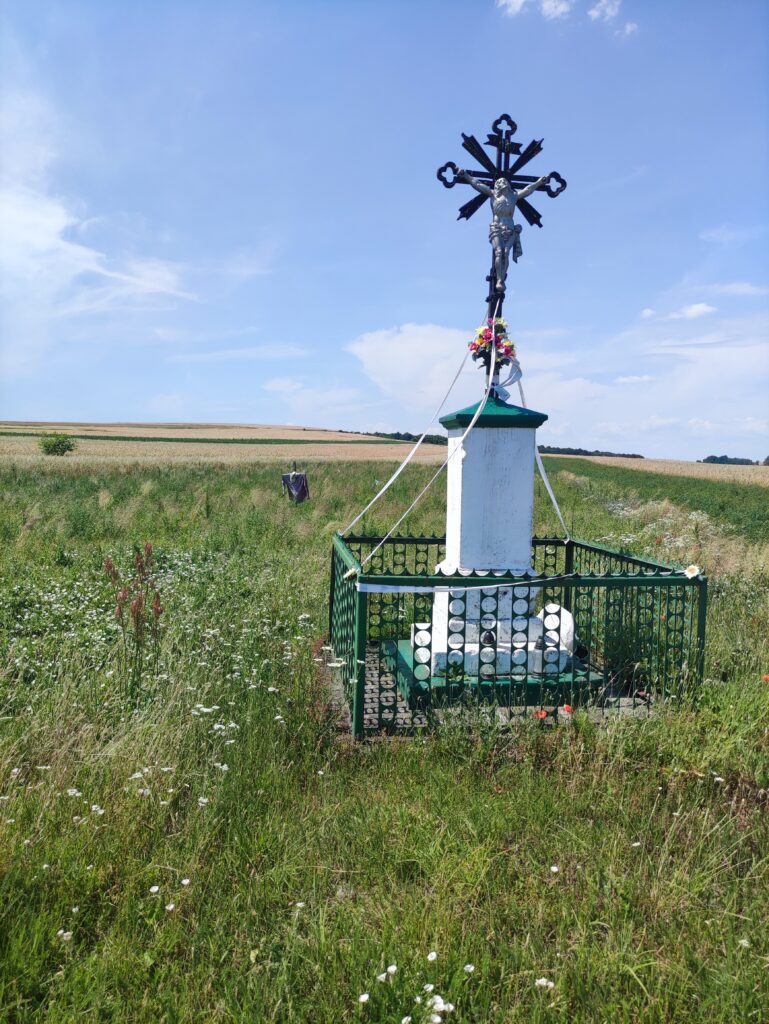
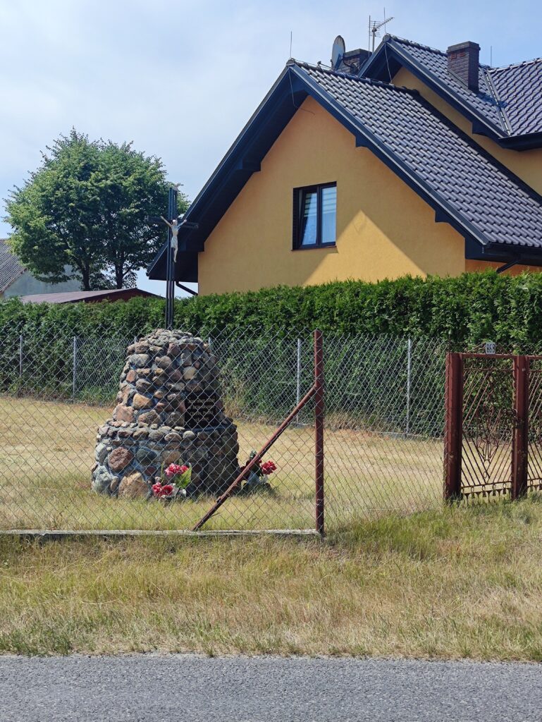
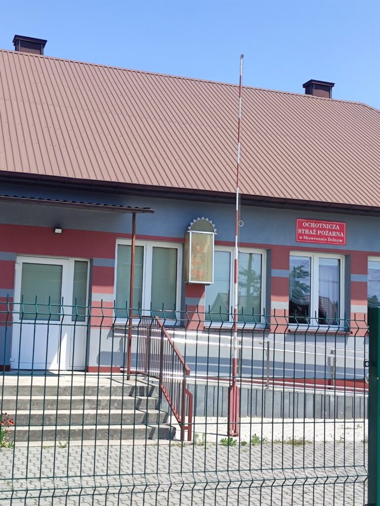
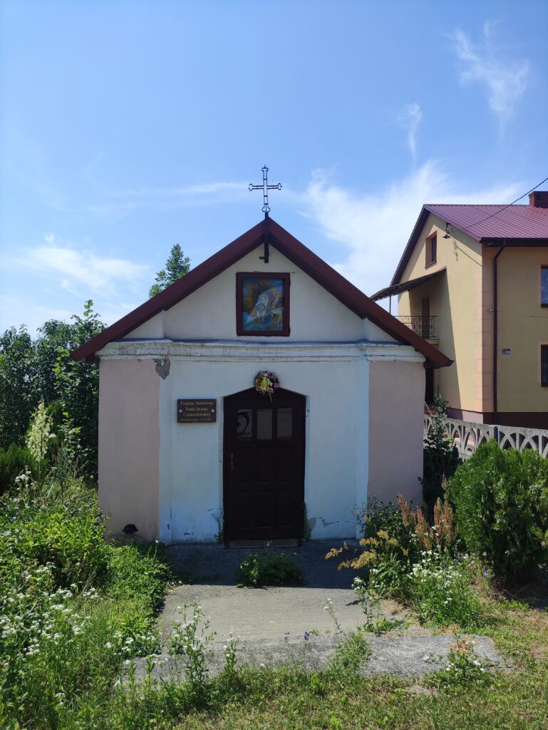
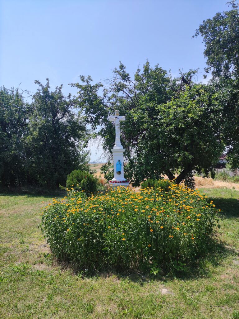
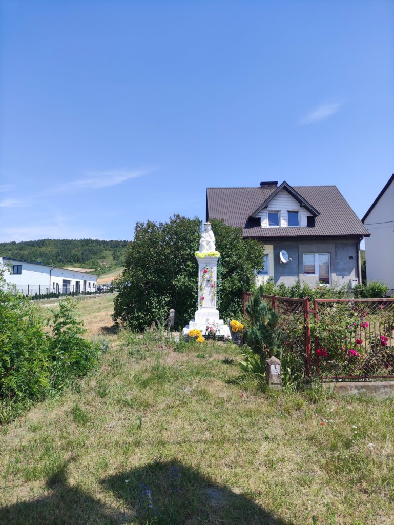
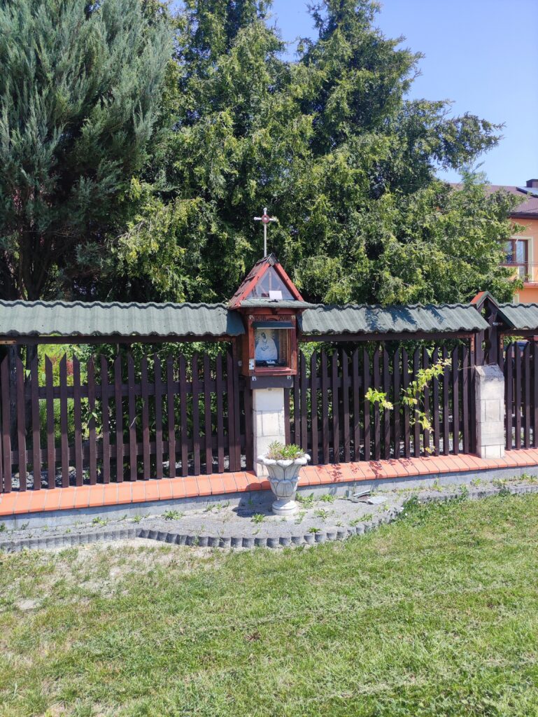
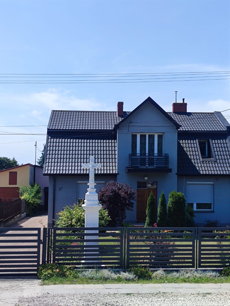
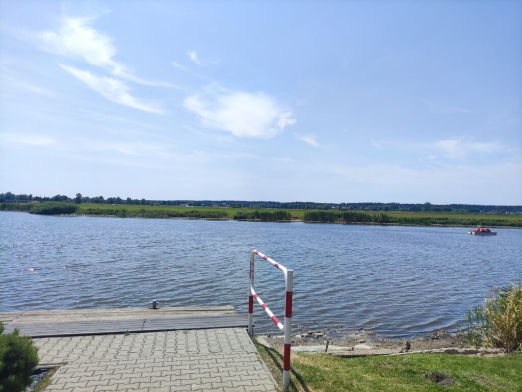
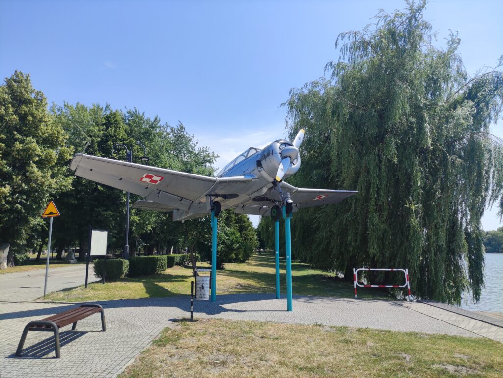
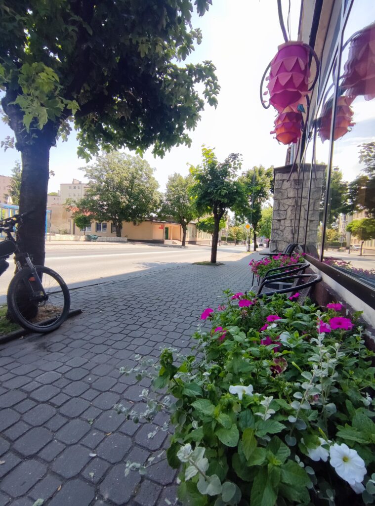
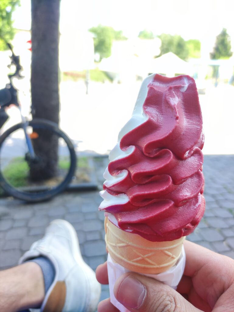
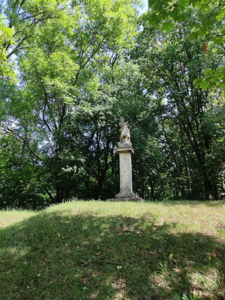
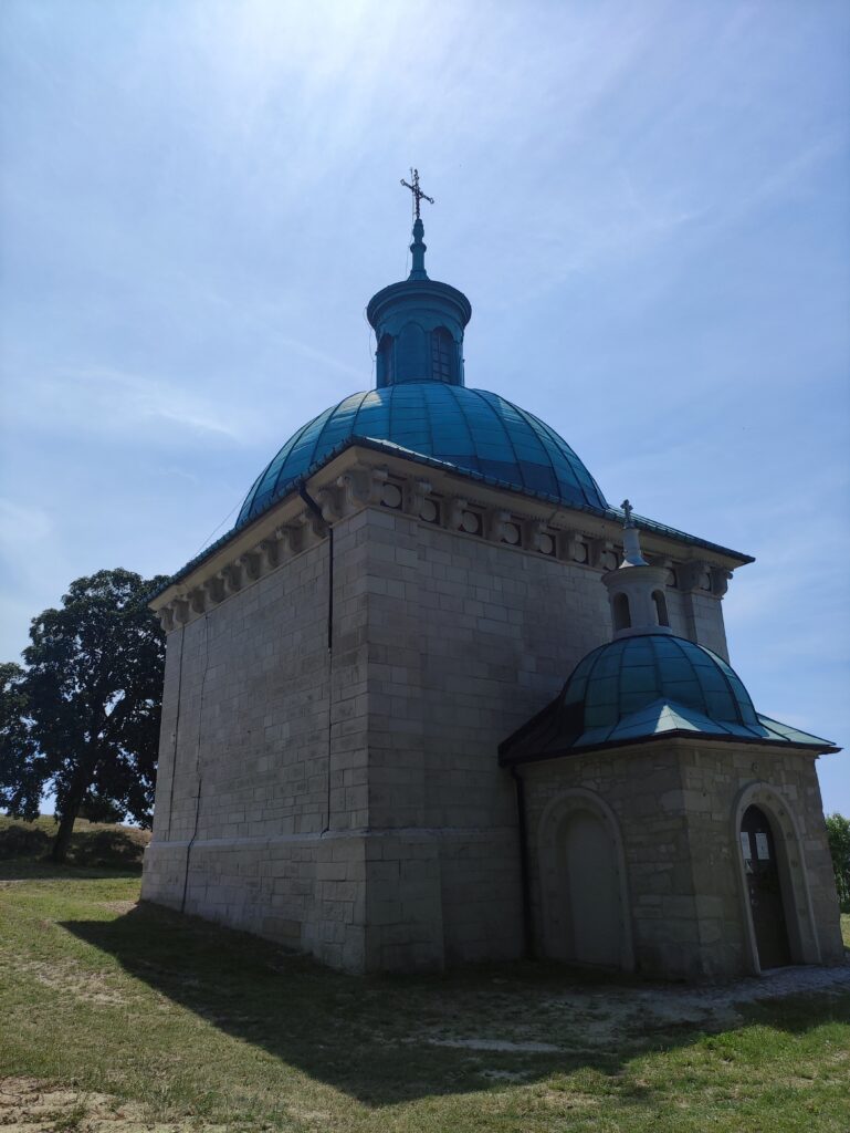
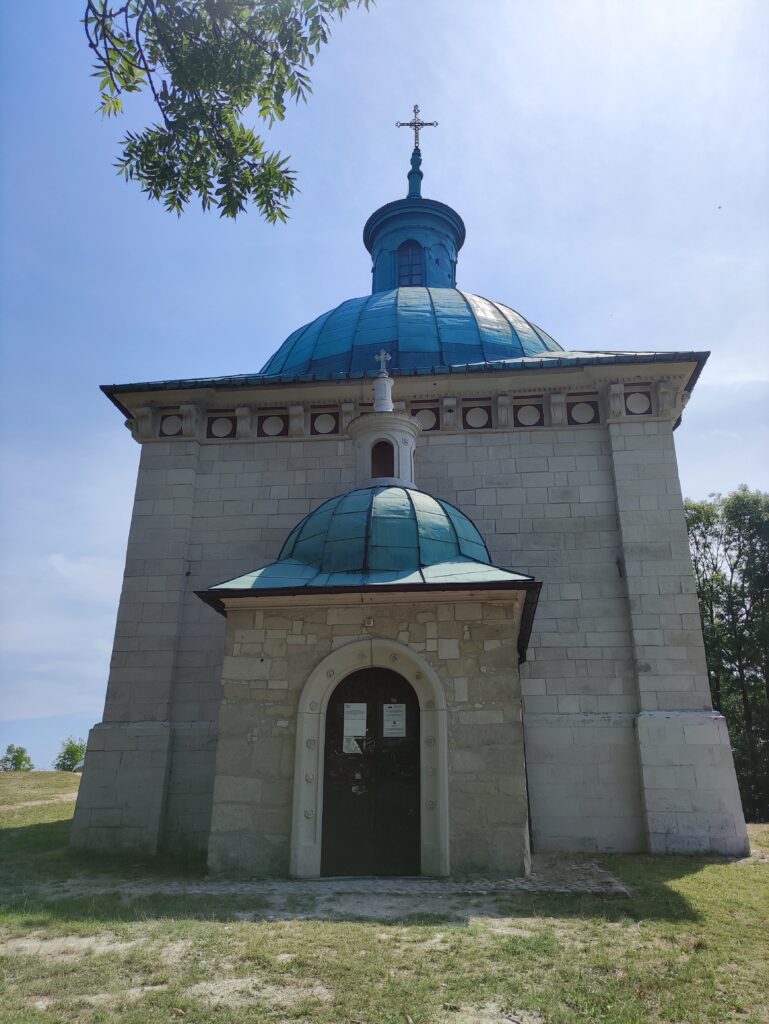
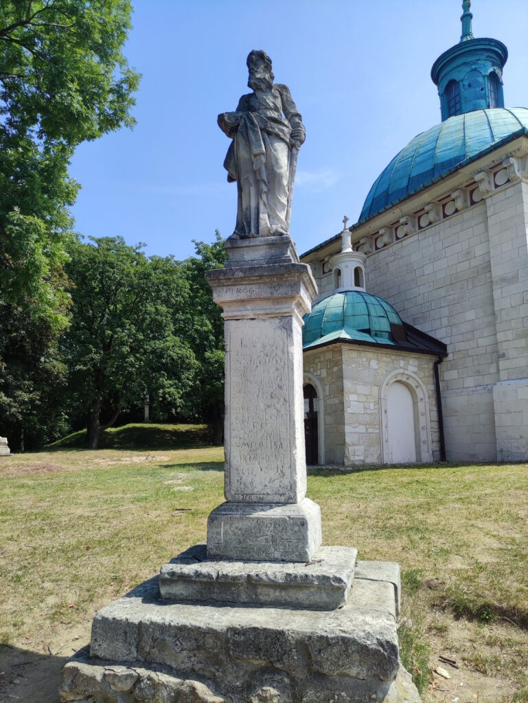
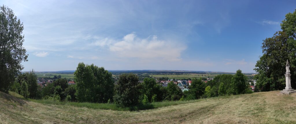
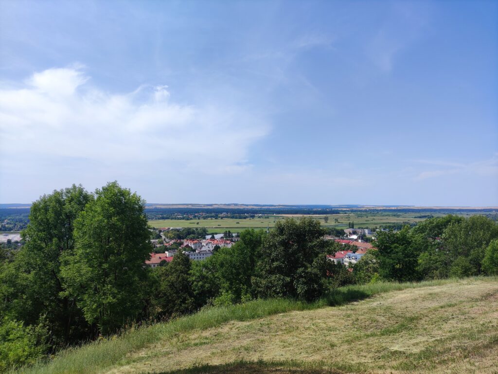
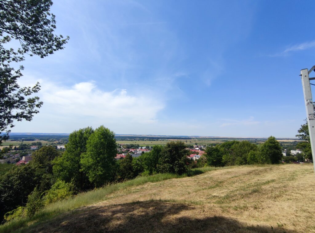
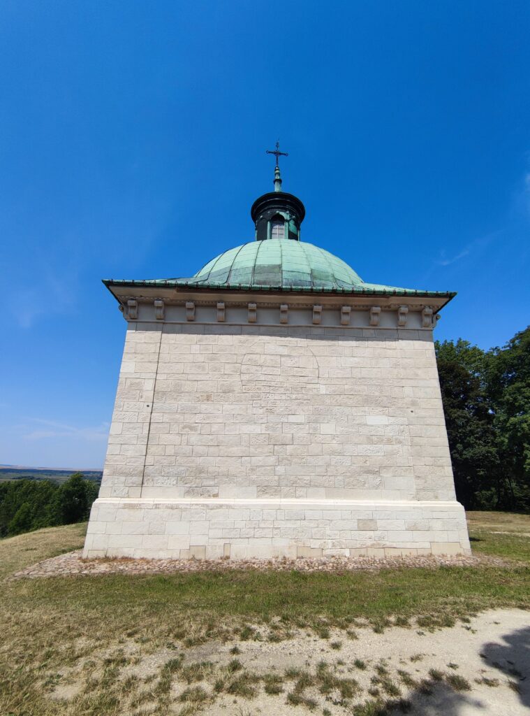
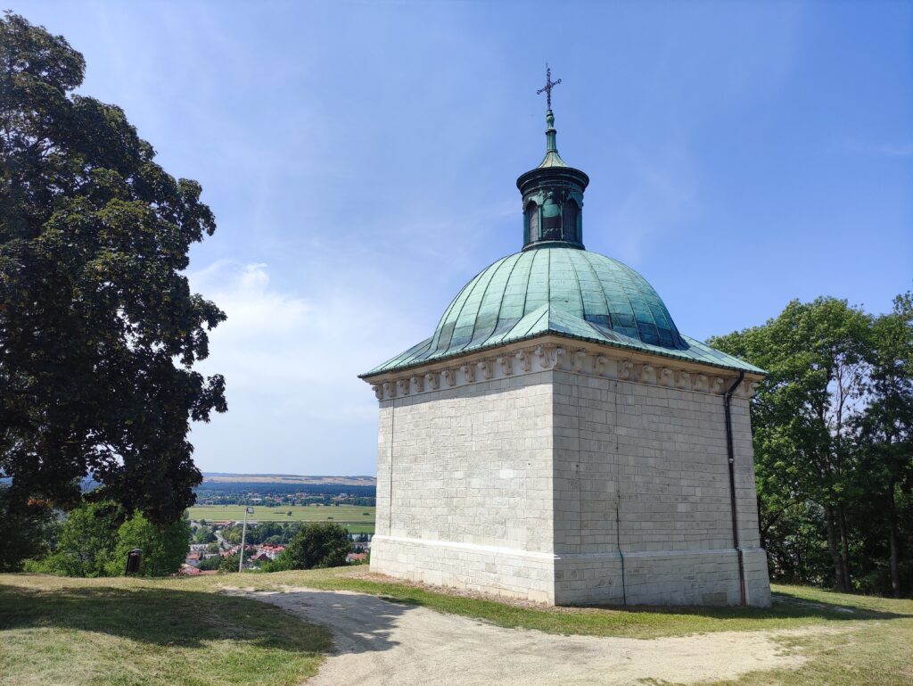
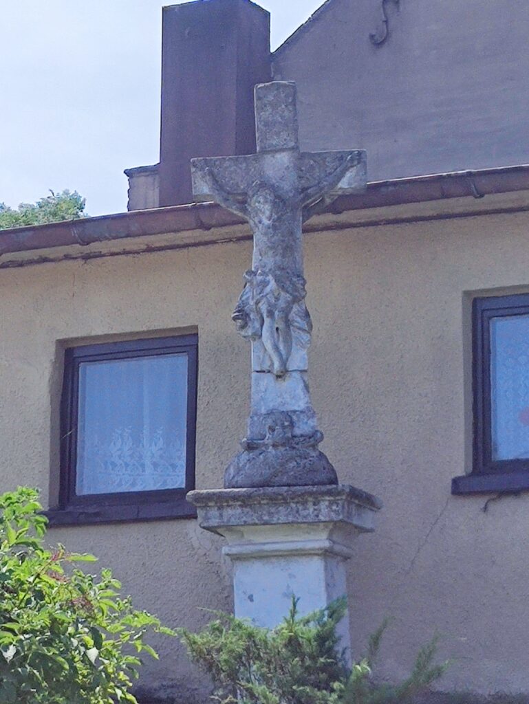
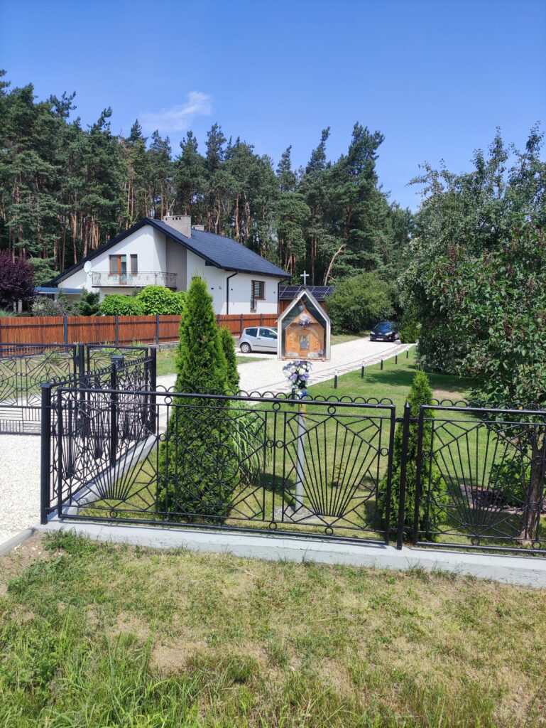
Zdjęcia na trasie

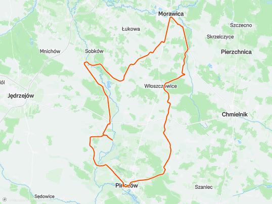


Trasa
| Podział | Dystans (km) | Czas trwania (min) | Różnica wysokości (m) | Średnia prędkość (m/s) |
|---|---|---|---|---|
| 1 | 1.03 | 4:63 | -2.4 | 3.7 |
| 2 | 0.98 | 3:7 | 11.8 | 4.43 |
| 3 | 0.99 | 3:35 | -12 | 4.95 |
| 4 | 1.01 | 3:77 | 6.4 | 4.46 |
| 5 | 1.00 | 4:83 | -2.8 | 4.38 |
| 6 | 1.00 | 3:9 | 11.4 | 4.27 |
| 7 | 1.00 | 5:98 | -1.6 | 2.81 |
| 8 | 0.99 | 5:65 | 17.6 | 3.09 |
| 9 | 1.01 | 3:35 | -20.6 | 5.02 |
| 10 | 1.01 | 3:7 | 9.6 | 4.56 |
| 11 | 1.00 | 3:62 | 9 | 4.62 |
| 12 | 0.99 | 3:22 | -6 | 5.13 |
| 13 | 0.99 | 4:07 | -0.4 | 4.64 |
| 14 | 1.03 | 3:57 | -4.4 | 4.8 |
| 15 | 1.01 | 3:32 | 1.6 | 5.07 |
| 16 | 1.00 | 3:5 | 8.4 | 4.75 |
| 17 | 0.97 | 2:98 | 10.2 | 5.43 |
| 18 | 1.03 | 2:83 | -3.6 | 6.04 |
| 19 | 0.99 | 4 | -10.6 | 4.84 |
| 20 | 0.99 | 10:08 | -22.2 | 4.5 |
| 21 | 1.00 | 3:37 | 0.8 | 4.97 |
| 22 | 0.99 | 3:63 | 0.6 | 4.52 |
| 23 | 1.00 | 4:75 | 6 | 4.38 |
| 24 | 1.00 | 4:75 | -10 | 4.41 |
| 25 | 1.02 | 5:2 | -7 | 4.08 |
| 26 | 0.98 | 5:07 | -3.2 | 4 |
| 27 | 0.99 | 5:83 | 0.8 | 3.9 |
| 28 | 1.00 | 3:9 | 1 | 4.28 |
| 29 | 1.03 | 3:58 | 6.4 | 5.15 |
| 30 | 0.99 | 3:08 | 1.6 | 5.34 |
| 31 | 1.00 | 4:47 | 6.6 | 4.36 |
| 32 | 1.00 | 7:43 | 10 | 3.6 |
| 33 | 0.99 | 4:8 | 10.2 | 4.07 |
| 34 | 0.99 | 16:98 | -53.8 | 3.13 |
| 35 | 1.00 | 31:6 | -12.8 | 2.53 |
| 36 | 1.01 | 4:57 | -1.6 | 3.7 |
| 37 | 0.99 | 5:43 | 8.2 | 3.56 |
| 38 | 1.02 | 4:27 | 2.6 | 4.34 |
| 39 | 1.00 | 4:07 | 5 | 4.78 |
| 40 | 1.02 | 4:12 | -0.8 | 4.73 |
| 41 | 0.96 | 3:27 | -7.6 | 5 |
| 42 | 1.04 | 3:32 | 3 | 5.2 |
| 43 | 1.00 | 3:38 | 4.6 | 5.34 |
| 44 | 0.99 | 3:25 | 3.8 | 5.4 |
| 45 | 1.00 | 3:33 | 3.4 | 5.14 |
| 46 | 1.00 | 3:6 | 5.2 | 4.61 |
| 47 | 1.03 | 5 | 0 | 4.69 |
| 48 | 0.96 | 2:75 | -5.2 | 6.5 |
| 49 | 0.99 | 3:32 | -7.8 | 4.98 |
| 50 | 1.03 | 3:67 | -2.8 | 4.8 |
| 51 | 1.01 | 13:57 | 1.2 | 4.48 |
| 52 | 0.96 | 2:95 | 3.8 | 5.43 |
| 53 | 1.01 | 3:28 | 6.8 | 5.13 |
| 54 | 1.02 | 3:1 | 3.8 | 5.47 |
| 55 | 0.97 | 14:82 | -1.4 | 4.48 |
| 56 | 1.00 | 3:63 | 14.4 | 4.6 |
| 57 | 1.00 | 3:58 | -12.2 | 6.2 |
| 58 | 1.02 | 3:08 | -2.2 | 5.92 |
| 59 | 0.99 | 2:88 | -1.8 | 5.69 |
| 60 | 0.99 | 3:43 | 5.4 | 4.82 |
| 61 | 1.04 | 3:75 | 5.8 | 4.78 |
| 62 | 0.98 | 3:33 | 0.4 | 5.28 |
| 63 | 1.02 | 3:72 | 1.2 | 5.02 |
| 64 | 0.97 | 2:55 | 1.8 | 6.31 |
| 65 | 1.02 | 3:08 | -1.8 | 5.84 |
| 66 | 0.99 | 8:62 | -4.6 | 4.5 |
| 67 | 1.00 | 3:9 | -2 | 4.27 |
| 68 | 0.99 | 3 | 3 | 5.49 |
| 69 | 1.00 | 4 | 9.4 | 4.73 |
| 70 | 1.03 | 3:35 | -2.2 | 5.11 |
| 71 | 0.99 | 3:63 | 4.6 | 4.54 |
| 72 | 1.01 | 3:75 | 16.6 | 4.57 |
| 73 | 0.99 | 3:28 | -8.6 | 5.04 |
| 74 | 0.98 | 3:7 | 31.2 | 4.39 |
| 75 | 1.02 | 2:55 | -4.4 | 6.68 |
| 76 | 0.98 | 3:55 | 20.6 | 4.61 |
| 77 | 1.03 | 2:77 | 8.6 | 6.2 |
| 78 | 1.00 | 2:15 | -7.6 | 7.73 |
| 79 | 1.03 | 2:62 | -6 | 6.54 |
| 80 | 0.98 | 3:1 | 4 | 5.25 |
| 81 | 0.97 | 3:43 | -18.8 | 4.99 |
| 82 | 1.07 | 3:78 | 3.6 | 4.69 |
| 83 | 0.97 | 3:75 | -1.6 | 5.18 |
| 84 | 1.02 | 2:32 | 9.6 | 7.31 |
| 85 | 0.97 | 1:67 | 4.8 | 9.69 |
| 86 | 1.05 | 1:55 | -38.6 | 11.28 |
| 87 | 0.96 | 3:47 | 3.8 | 4.6 |
| 88 | 0.74 | 2:77 | 8.2 | 4.73 |
Miejscowości
- województwo świętokrzyskie
- powiat jędrzejowski
- gmina Sobków
- Stare Kotlice
- Nowe Kotlice
- Sobków
- Staniowice
- Korytnica
- Mokrsko Górne
- Mokrsko Dolne
- Chomentów
- gmina Imielno
- Imielno
- Stawy
- Borszowice
- Sobowice
- Motkowice
- Imielnica
- gmina Sobków
- powiat kielecki
- gmina Morawica
- Lisów
- Drochów Górny
- Kawczyn
- Drochów Dolny
- Dębska Wola
- Morawica
- Wola Morawicka
- gmina Chmielnik
- Grabowiec
- gmina Morawica
- powiat pińczowski
- gmina Pińczów
- Pińczów
- Chwałowice
- Chruścice
- Włochy
- Kopernia
- Skowronno Dolne
- gmina Kije
- Włoszczowice
- Gołuchów
- Stawiany
- Janów
- gmina Pińczów
- powiat jędrzejowski
Strava segmenty
| Nazwa | Czas trwania (s) | Czas w ruchu (s) | Odległość (m) | Średnie nachylenie (%) | Maksymalne nachylenie (%) | Wysokość maks. | Wysokość min. |
|---|---|---|---|---|---|---|---|
| wylot z Woli | 272 | 272 | 1165.9 | 1.2 | 4.9 | 264.8 | 250.8 |
| Gołuchów flat | 888 | 888 | 4641.3 | 0.3 | 5.6 | 274 | 251.2 |
| Stawiany -> Gartatowice | 373 | 373 | 1649.9 | 0.7 | 4.9 | 243.6 | 227.4 |
| hopka Gartatowice | 108 | 105 | 278.8 | 4 | 6.4 | 242.8 | 231.7 |
| [UP] Gartatowice | 147 | 124 | 301 | 4.8 | 8.6 | 233.2 | 218.8 |
| Zjazd z Anny | 133 | 131 | 301.5 | -11.9 | 18.6 | 240.5 | 200.4 |
| Prosta Stare Kotlice > Mokrsko | 534 | 534 | 2999 | 0.2 | 4.1 | 217.2 | 211.2 |
| Szuter premium od mostu | 317 | 317 | 1485.6 | -0.1 | 3.2 | 206.8 | 201.6 |
| Kory Hopa ;] | 210 | 210 | 880.3 | 4.2 | 13.2 | 260.2 | 223.4 |
| Chomentow hill | 506 | 506 | 3016.3 | 0.8 | 10.4 | 264.2 | 228.4 |
| Chomentów UP | 124 | 124 | 582.4 | 4.9 | 9.9 | 303 | 274.6 |
Punkty GPS na trasie
Wszystkie: 2665Uproszczone: 322