05.08.2023 17:16
Ride
-
Dystans
25.69 km
-
Średnia prędkość
18.22 km/h
-
Maksymalna prędkość
45.68 km/h
-
Czas ruchu
01:24
-
Całkowity czas
02:29
-
Najniższa wysokość
223.3 m
-
Najwyższa wysokość
279.3 m
-
Suma przewyższeń
158.6 m
-
Kalorie
0
-
Kwadraty
17
-
Osiągnięcia
3
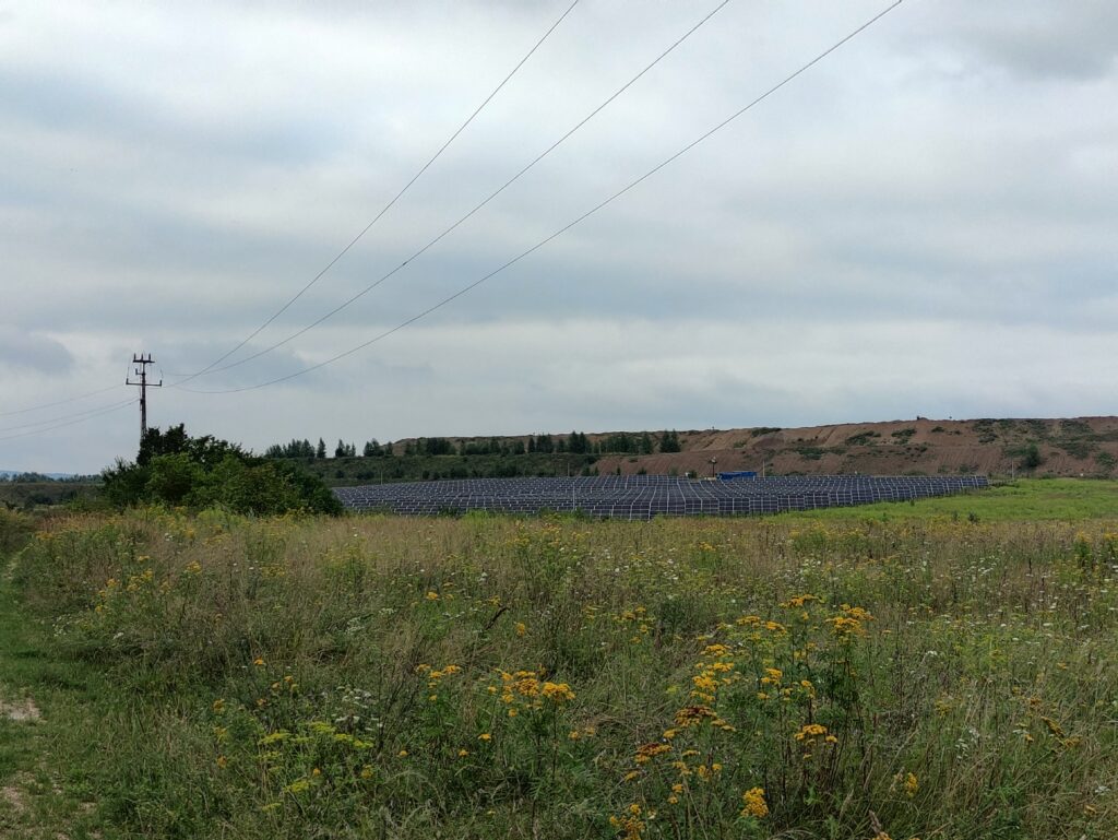
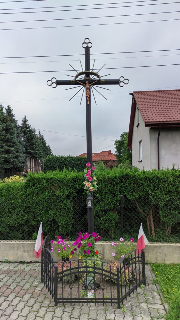
Zdjęcia na trasie
Trasa
| Podział | Dystans (km) | Czas trwania (min) | Różnica wysokości (m) | Średnia prędkość (m/s) |
|---|---|---|---|---|
| 1 | 1.00 | 6:05 | -8.2 | 6.49 |
| 2 | 1.01 | 4:27 | -2.4 | 4.91 |
| 3 | 1.00 | 2:13 | -0.1 | 7.82 |
| 4 | 1.00 | 2:18 | 1 | 7.62 |
| 5 | 1.00 | 3:22 | -3.3 | 5.16 |
| 6 | 1.00 | 2:58 | 9.6 | 6.47 |
| 7 | 1.00 | 2:52 | 2.7 | 6.61 |
| 8 | 1.00 | 2:7 | 11.6 | 6.17 |
| 9 | 1.00 | 4:15 | 0.8 | 4.48 |
| 10 | 1.00 | 6:3 | 9.2 | 3.56 |
| 11 | 1.00 | 3:55 | -14.9 | 5.23 |
| 12 | 1.00 | 2:87 | 12.7 | 5.83 |
| 13 | 0.99 | 2:23 | 19.5 | 7.42 |
| 14 | 1.01 | 2:25 | -9.3 | 7.45 |
| 15 | 0.99 | 2:88 | -7 | 5.75 |
| 16 | 1.00 | 2:43 | -7.4 | 6.86 |
| 17 | 1.00 | 2:92 | -7 | 6.44 |
| 18 | 1.00 | 2:3 | -4.4 | 7.28 |
| 19 | 1.00 | 2:4 | -10.6 | 6.93 |
| 20 | 1.00 | 2:25 | -2.9 | 7.39 |
| 21 | 1.00 | 2:27 | 7.1 | 7.37 |
| 22 | 1.00 | 2:38 | -3.5 | 7 |
| 23 | 1.00 | 11:55 | -3.7 | 1.44 |
| 24 | 1.01 | 65:93 | 0.3 | 1.78 |
| 25 | 1.00 | 2:02 | 6.1 | 8.23 |
| 26 | 0.68 | 2:97 | 4.1 | 6.16 |
Miejscowości
- województwo świętokrzyskie
- powiat kielecki
- gmina Nowiny
- Kowala
- gmina Morawica
- Wola Morawicka
- Zbrza
- Brzeziny
- Bieleckie Młyny
- Piaseczna Górka
- Bilcza
- Nida
- Łabędziów
- Podwole
- Morawica
- gmina Nowiny
- powiat kielecki
Strava segmenty
| Nazwa | Czas trwania (s) | Czas w ruchu (s) | Odległość (m) | Średnie nachylenie (%) | Maksymalne nachylenie (%) | Wysokość maks. | Wysokość min. |
|---|---|---|---|---|---|---|---|
| [R]Pińczowska - Górnicza | 271 | 271 | 2107.2 | 0.1 | 3.6 | 248.8 | 242.4 |
| Brzeziny - Pogdórze up | 237 | 237 | 1713.8 | 2.1 | 7 | 285.6 | 249.6 |
| LabedziowDwor | 39 | 39 | 276.2 | 6.5 | 17.4 | 248 | 229 |
Punkty GPS na trasie
Wszystkie: 0Uproszczone: 130