04.08.2024 12:55
Ride
-
Dystans
80.08 km
-
Średnia prędkość
18.36 km/h
-
Maksymalna prędkość
43.16 km/h
-
Czas ruchu
04:21
-
Całkowity czas
05:24
-
Najniższa wysokość
221.6 m
-
Najwyższa wysokość
358.8 m
-
Suma przewyższeń
577 m
-
Kalorie
2787
-
Kwadraty
51
-
Osiągnięcia
9
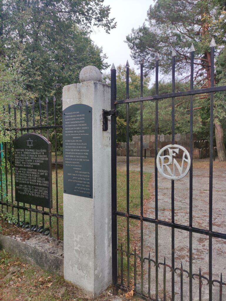
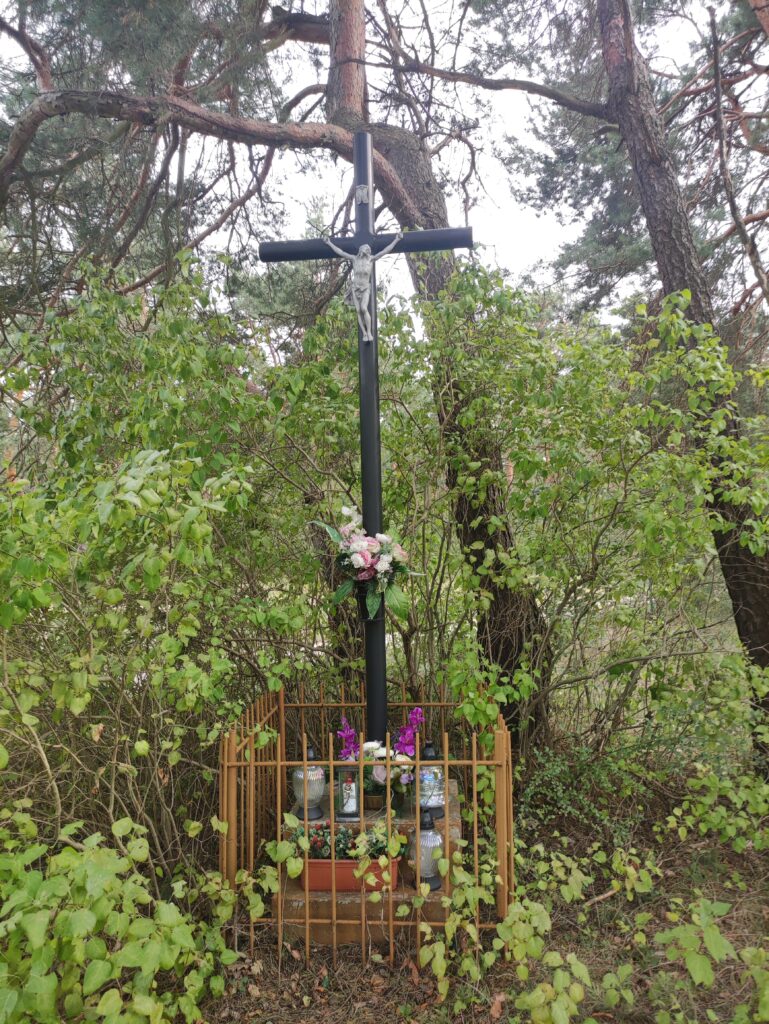
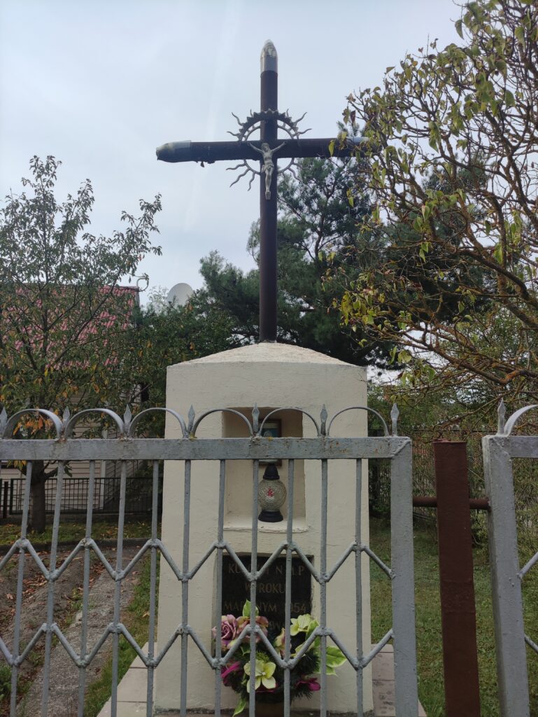
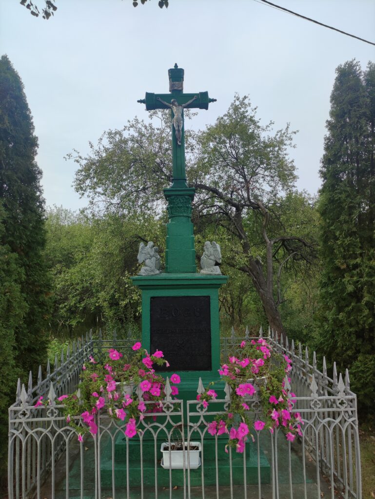
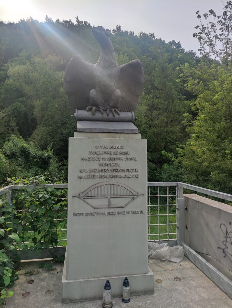
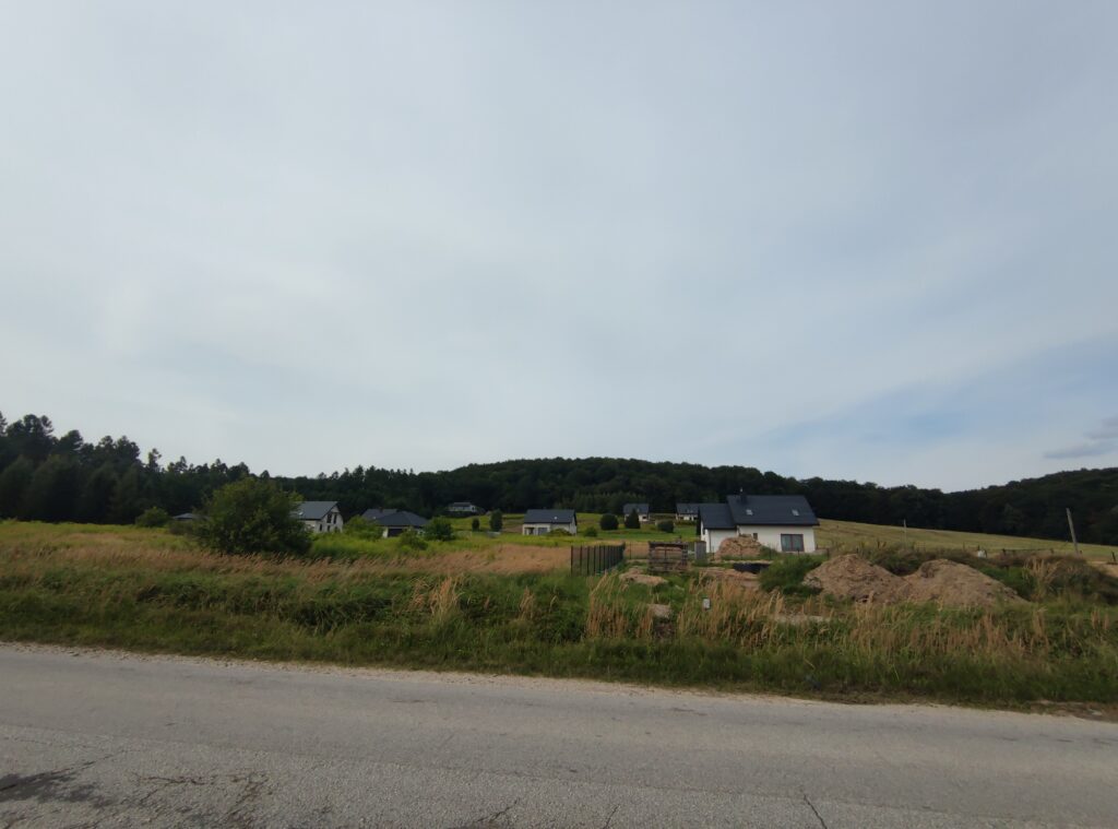
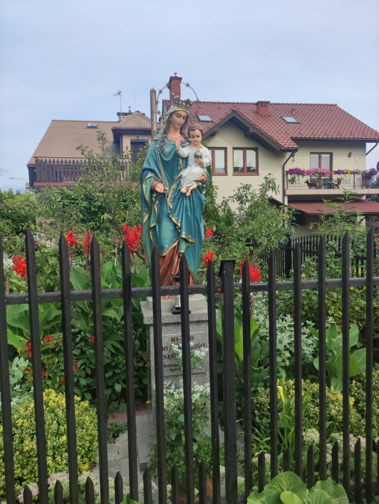
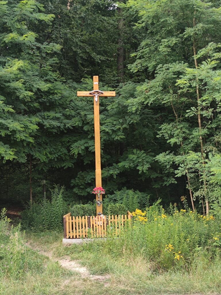
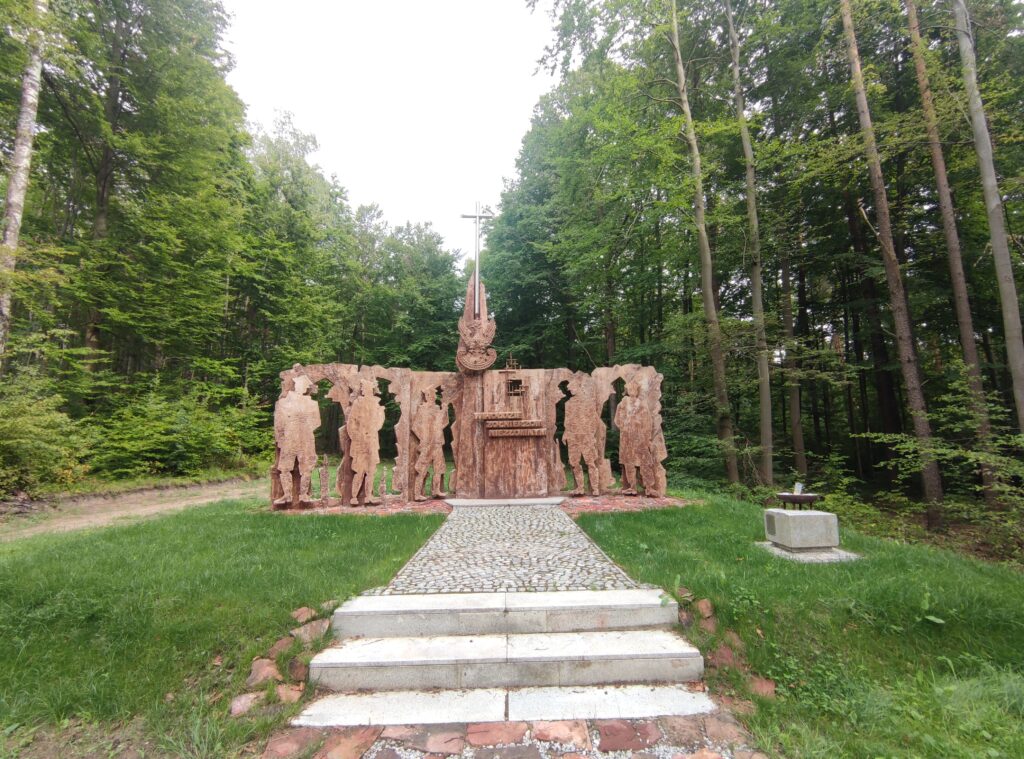
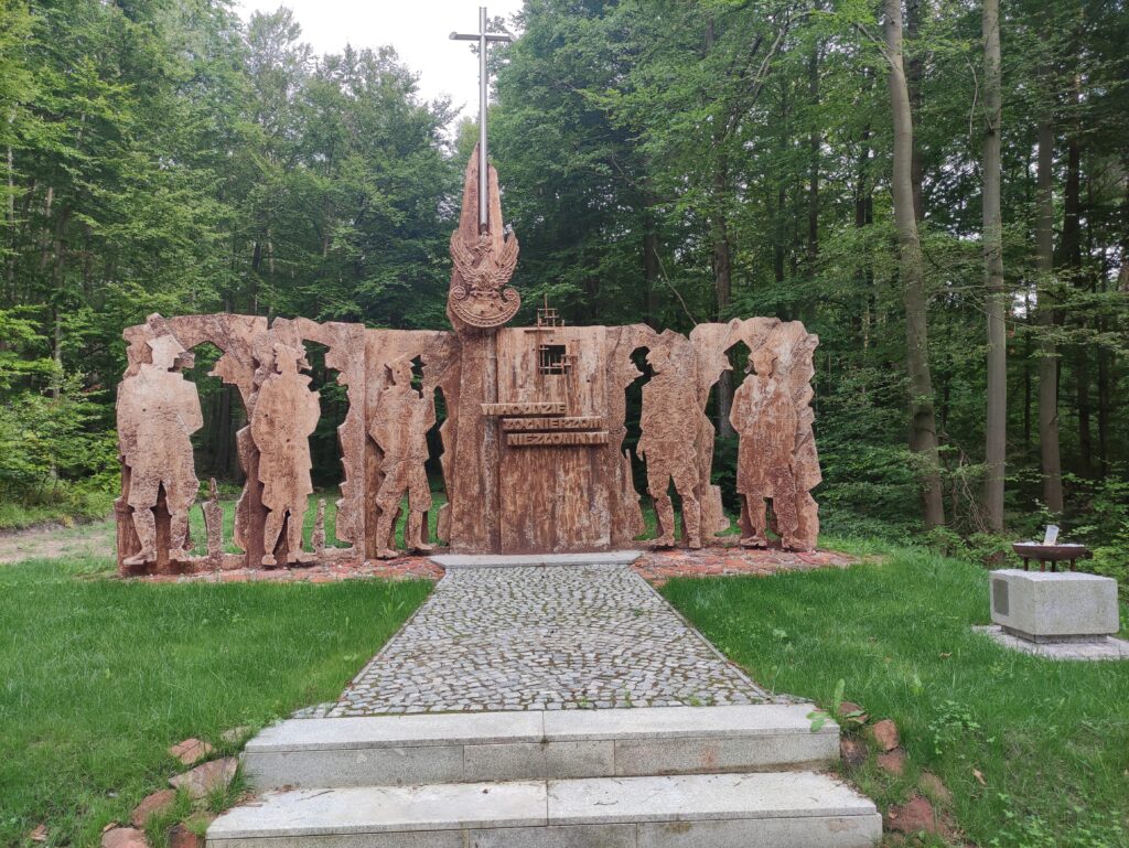
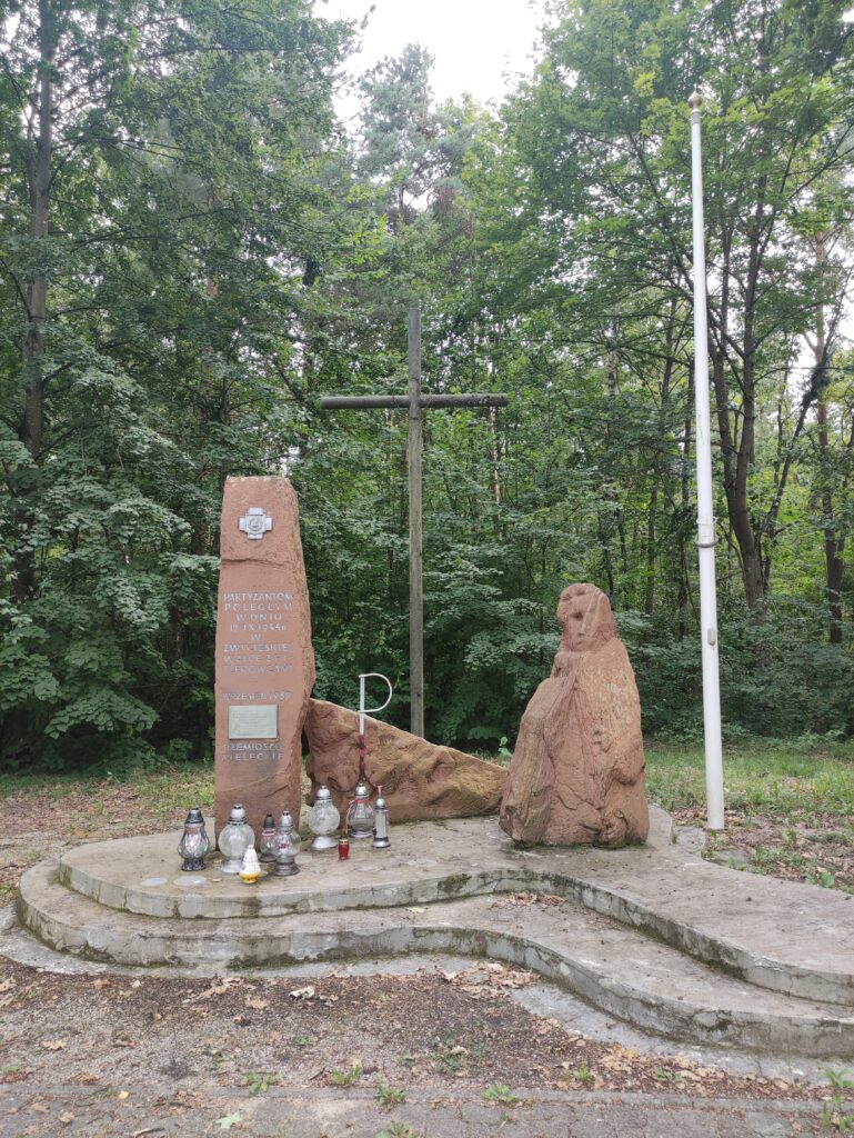
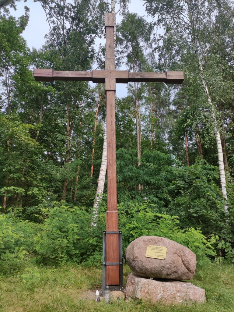
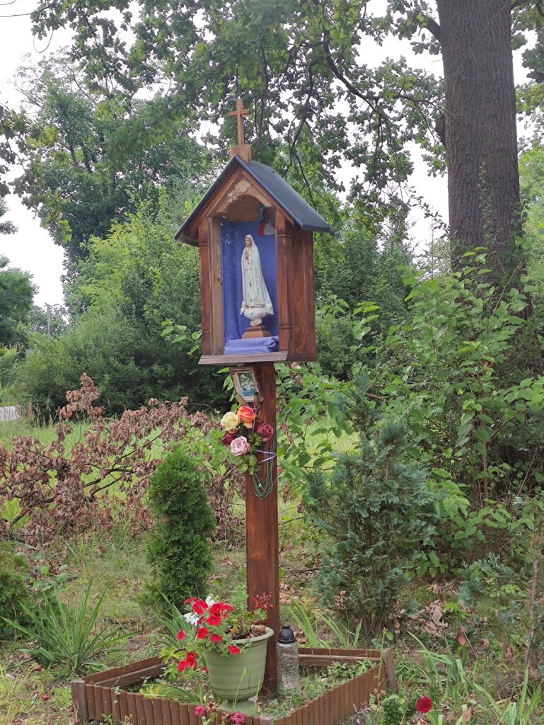
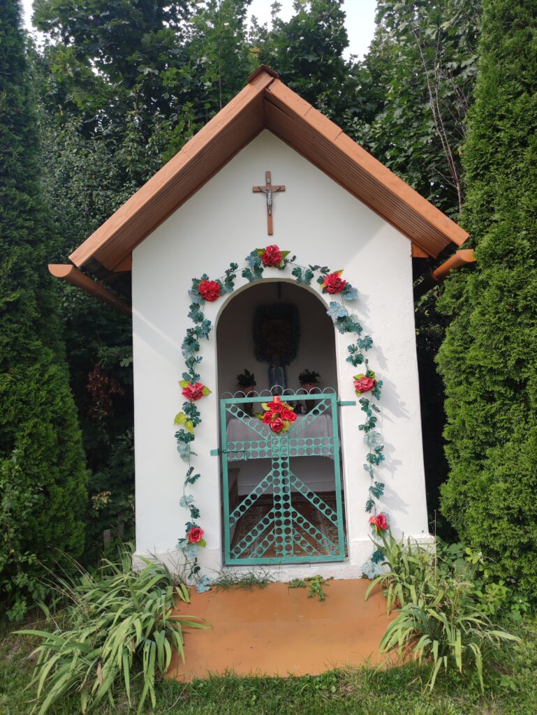
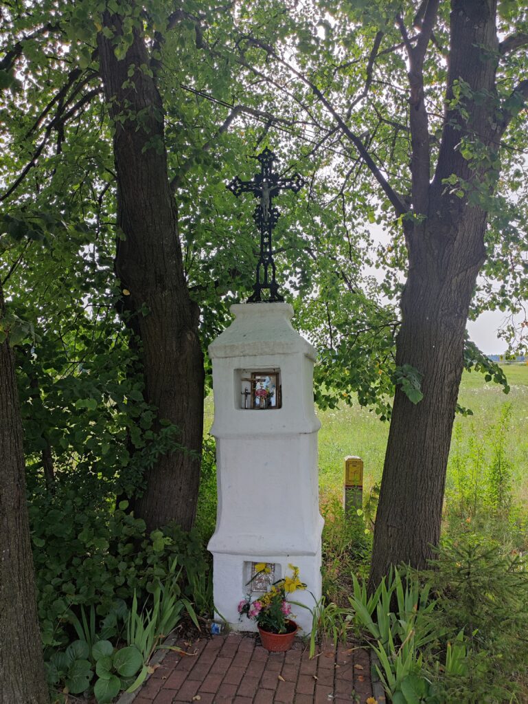
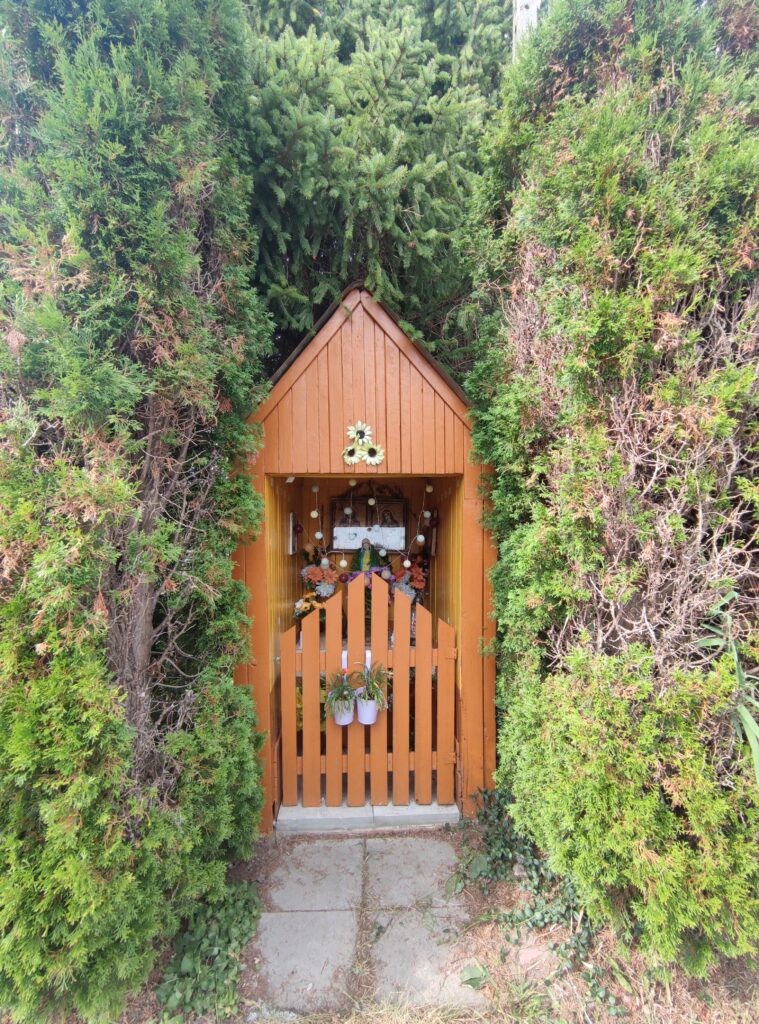
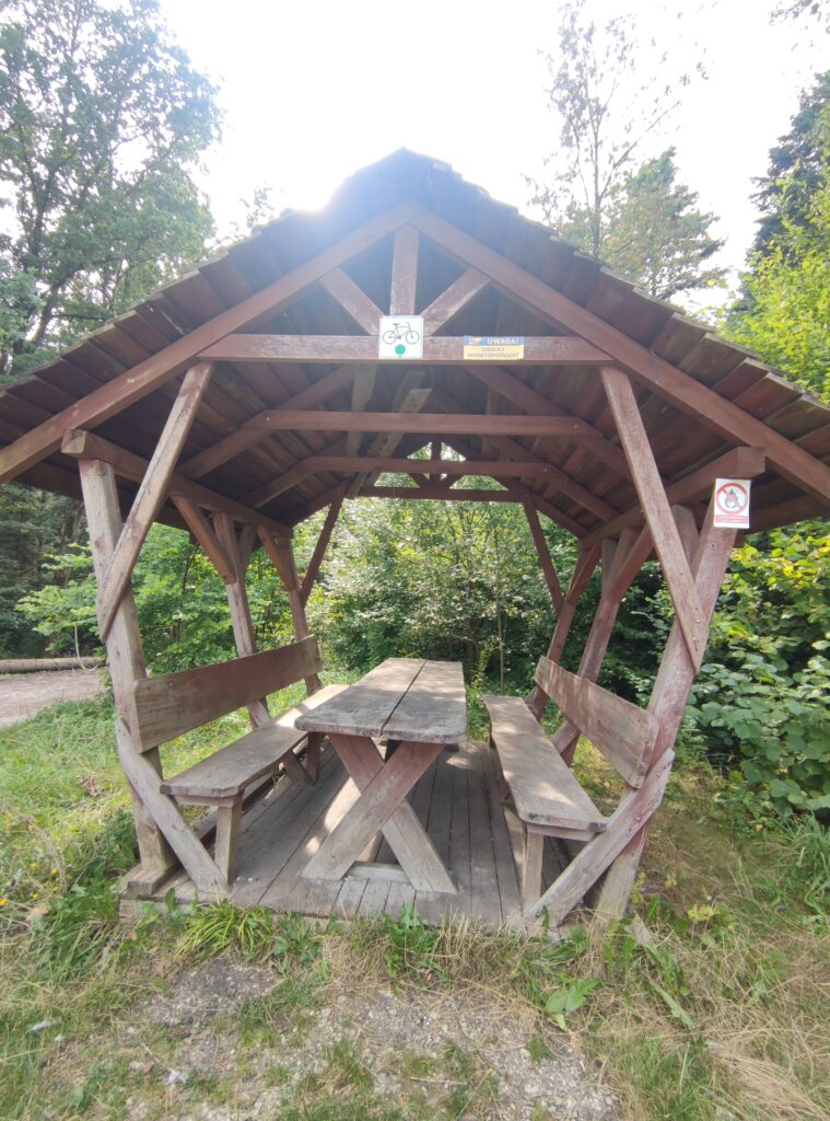
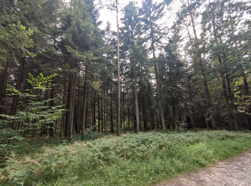
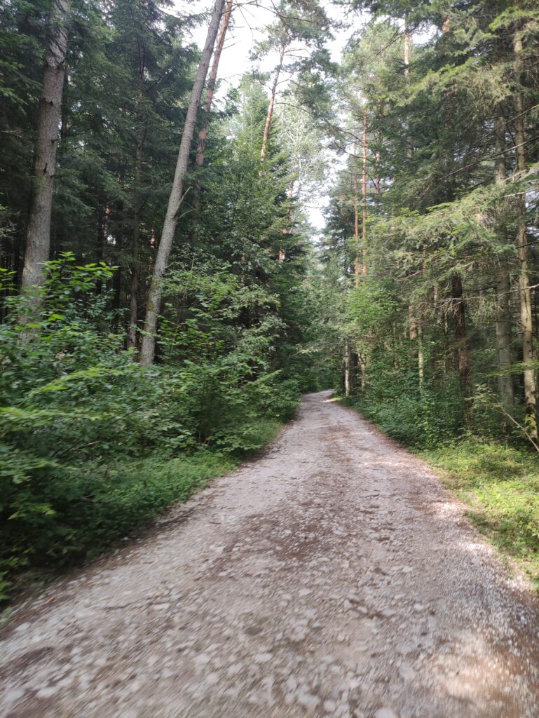
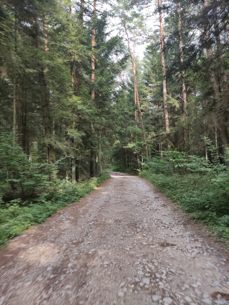
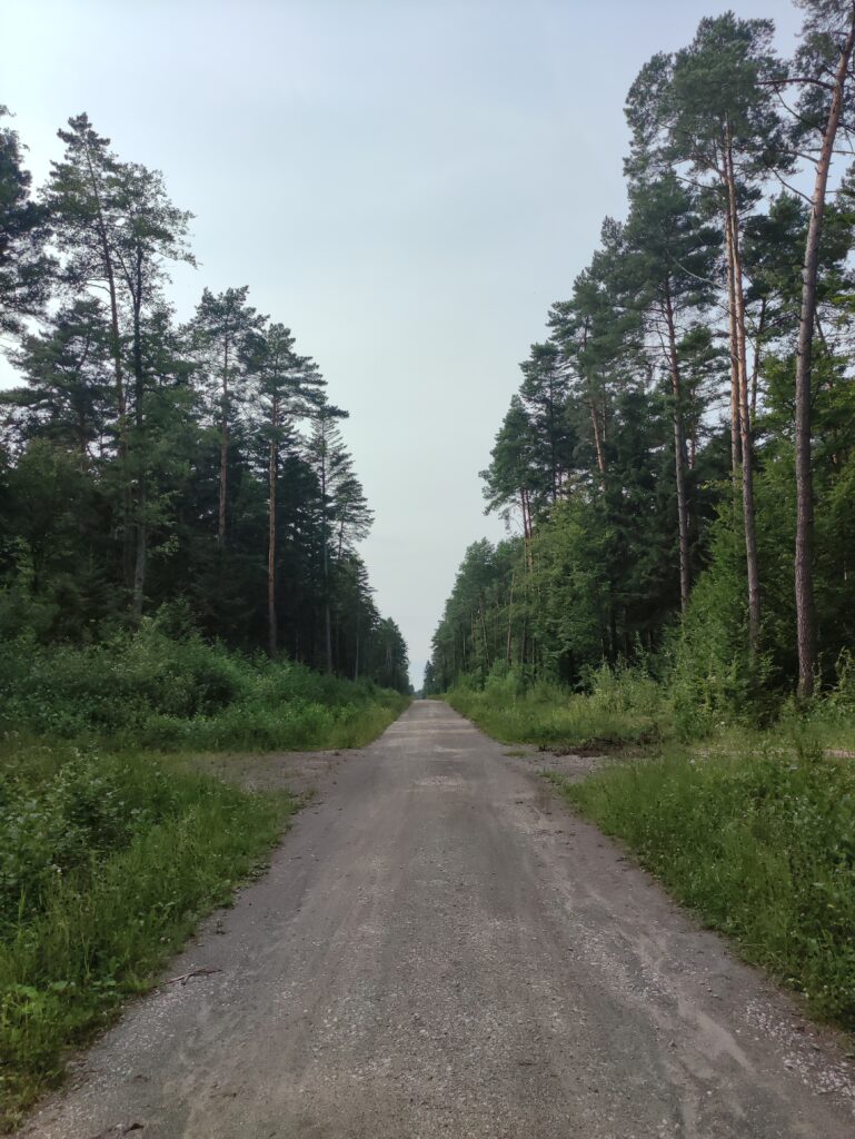
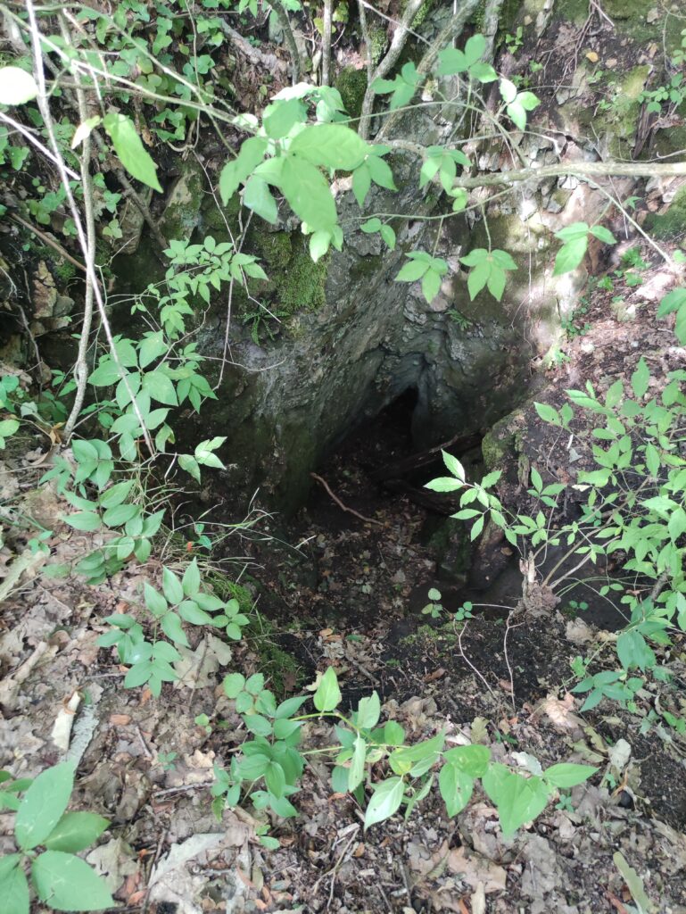
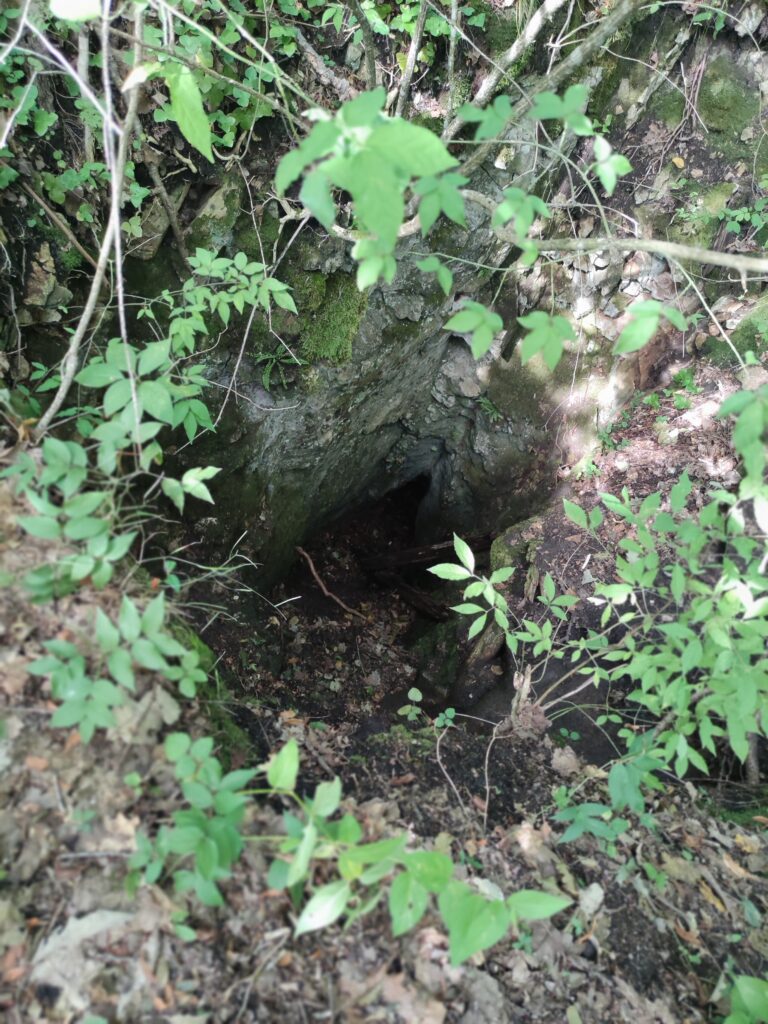
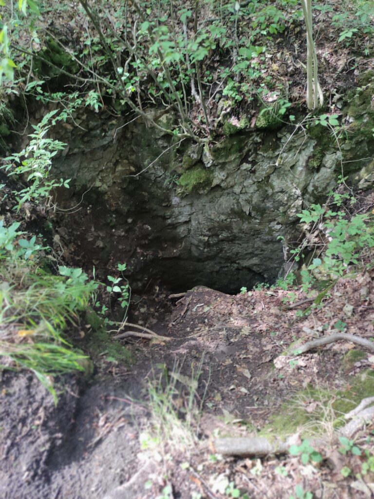
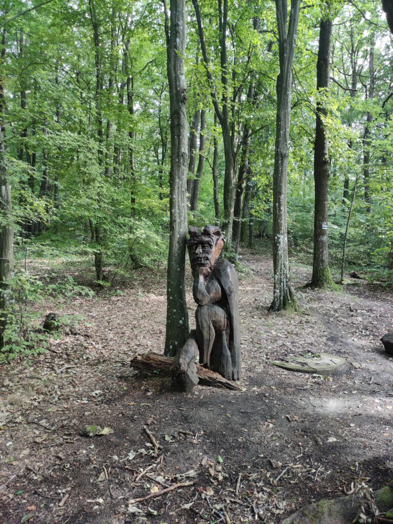
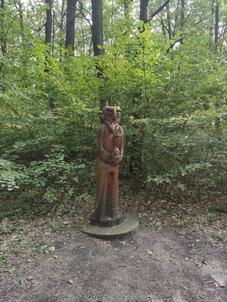
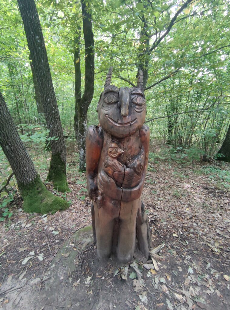
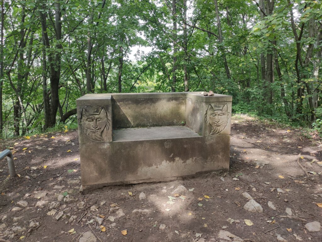
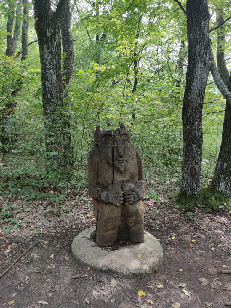
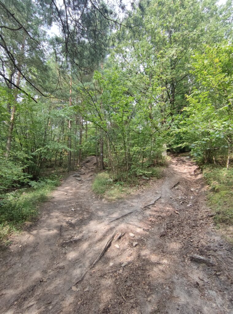
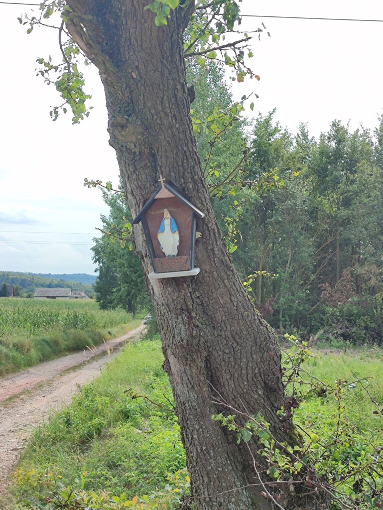
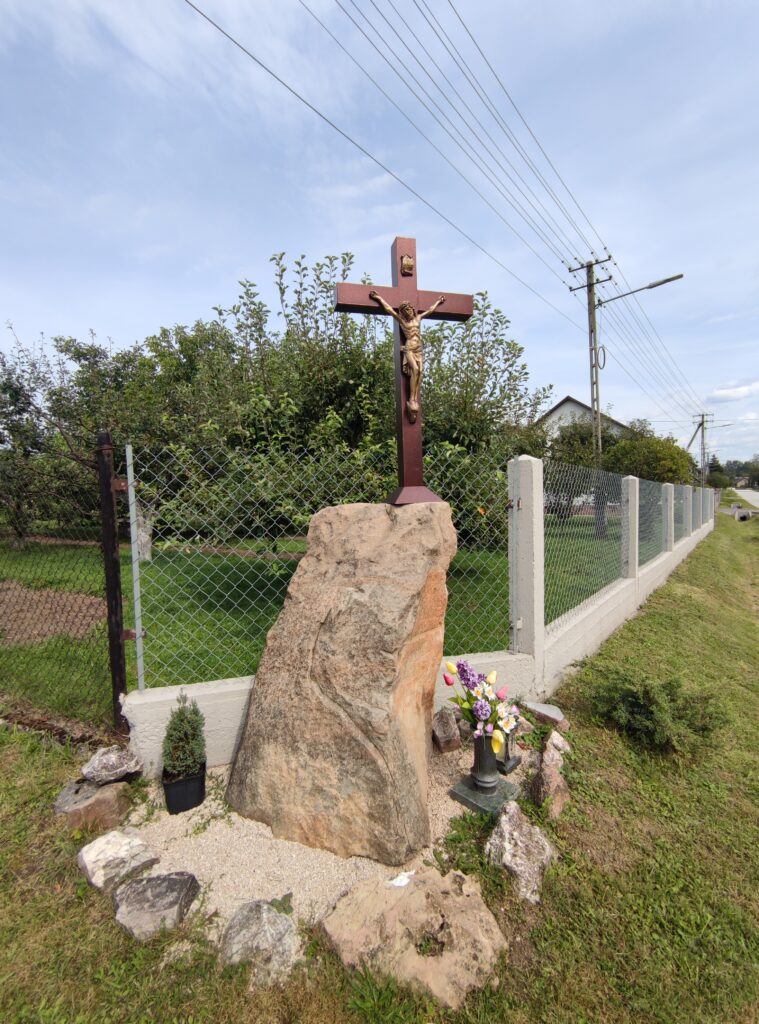
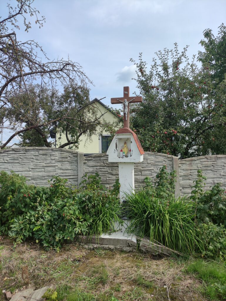
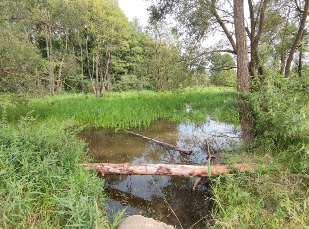
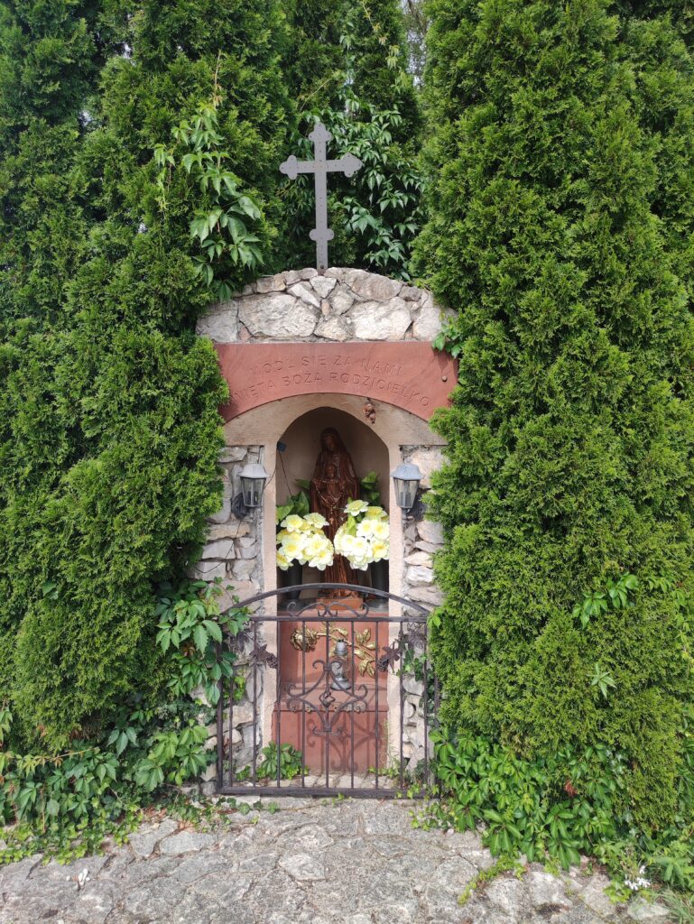
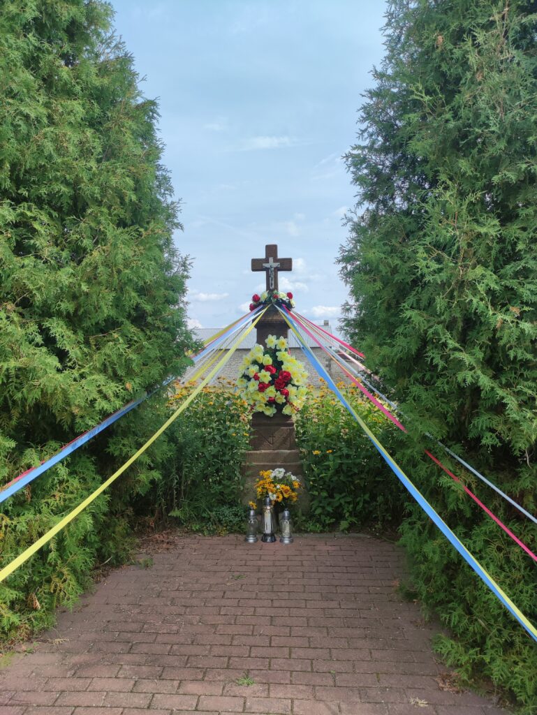
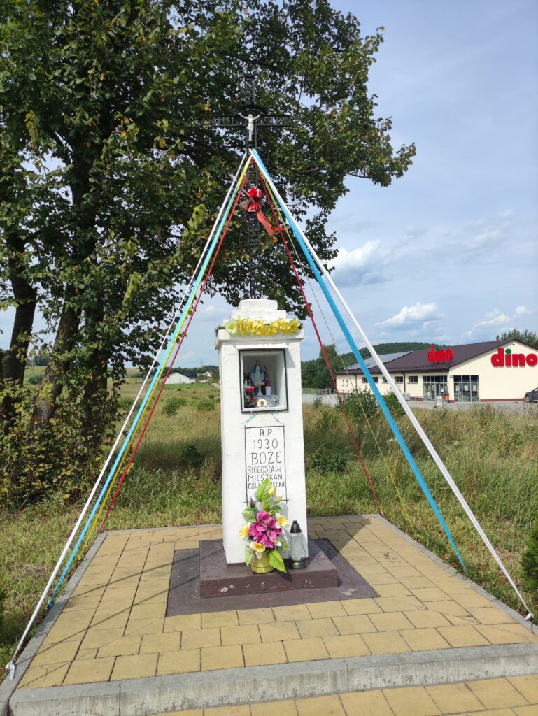
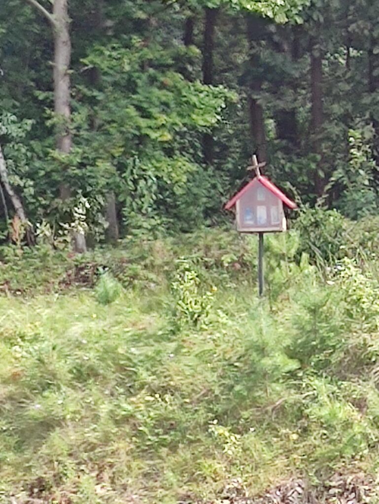
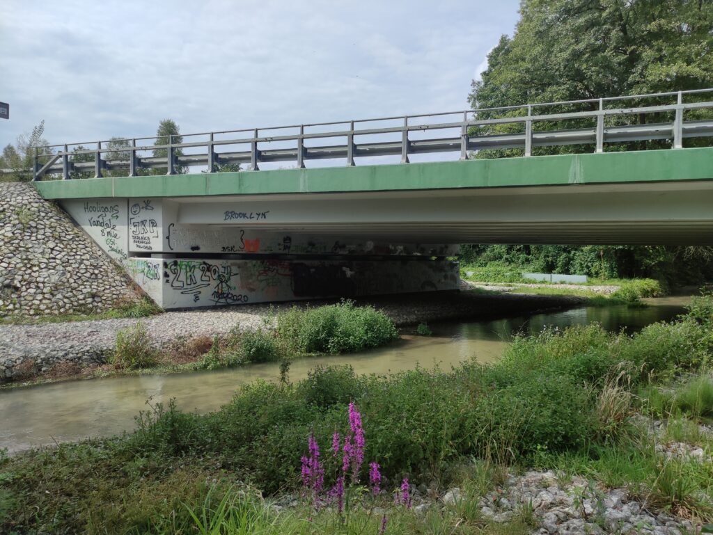
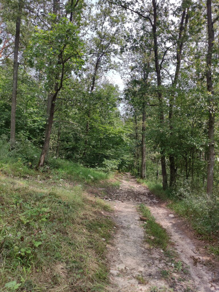
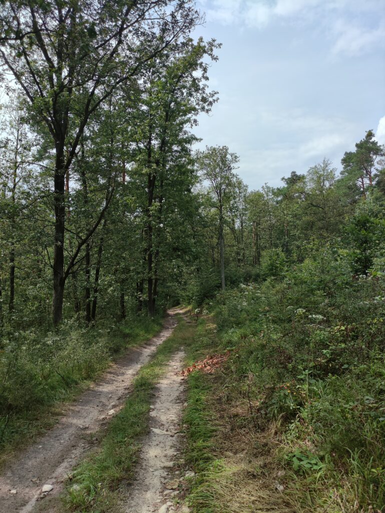
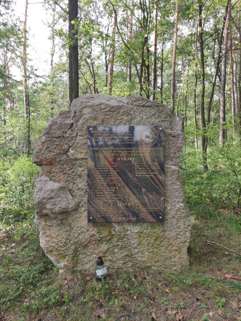
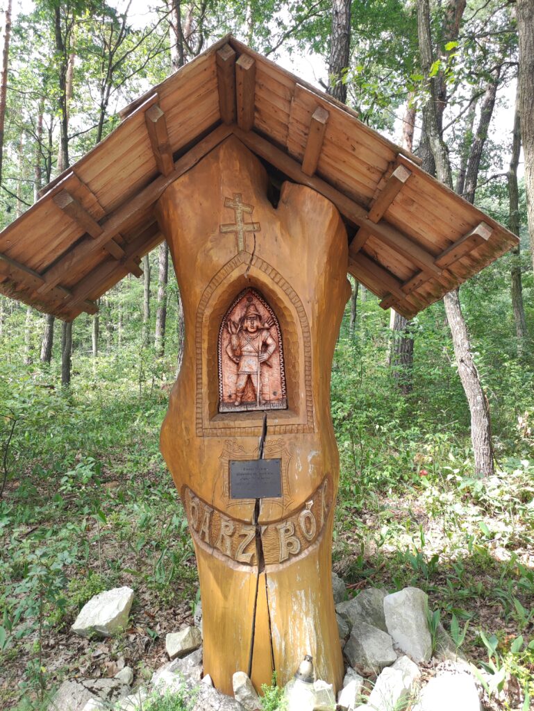
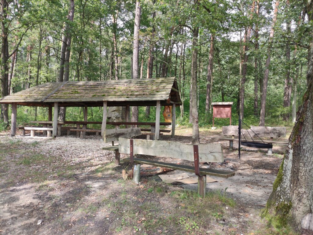
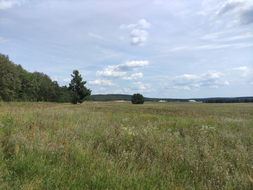
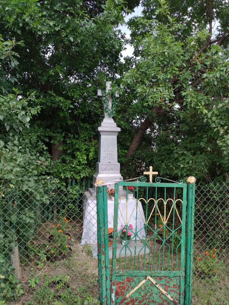
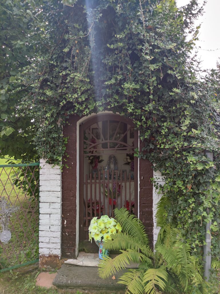
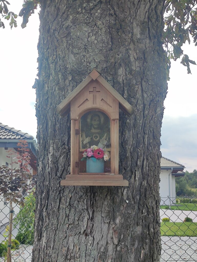
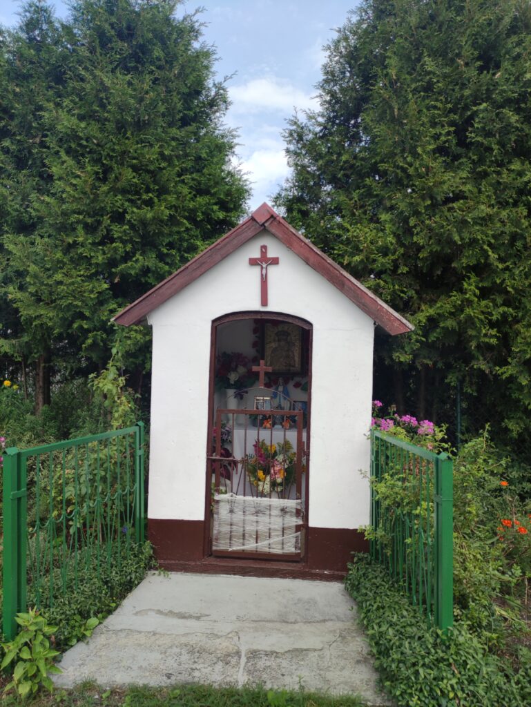
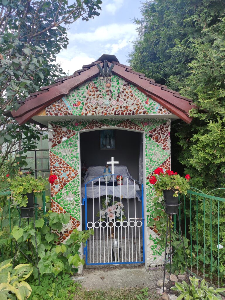
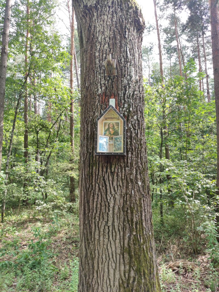
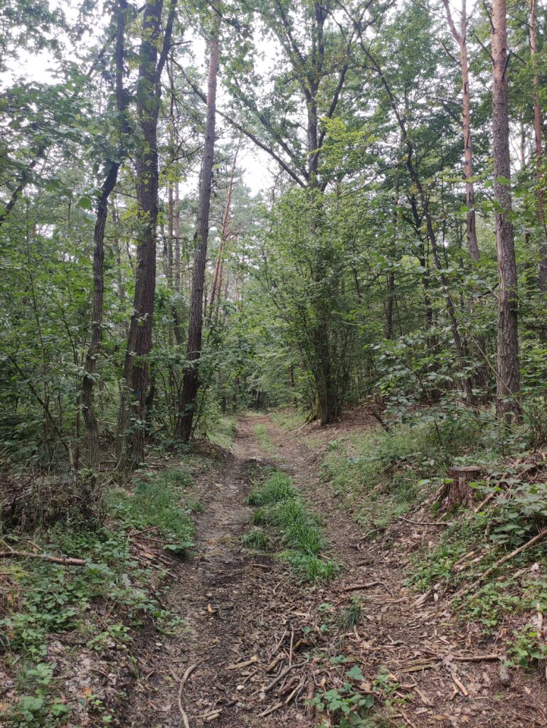
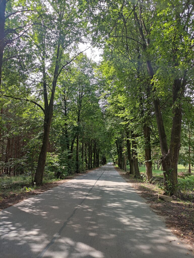
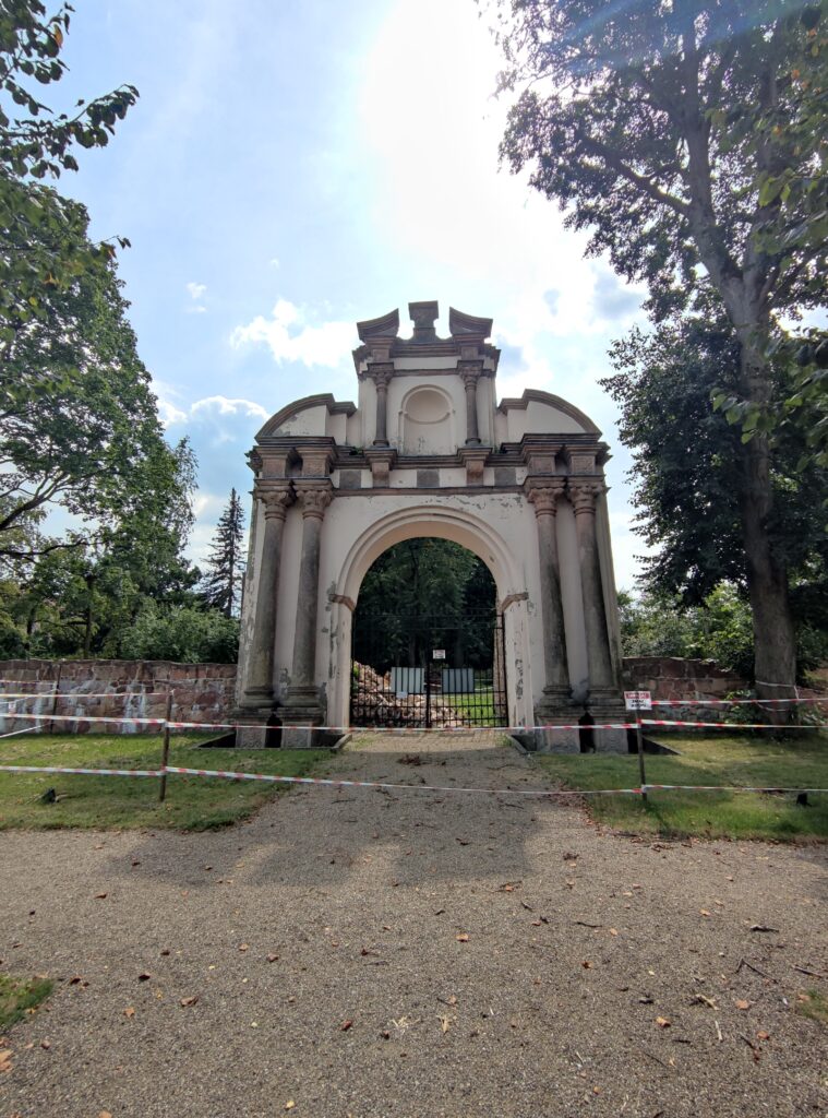
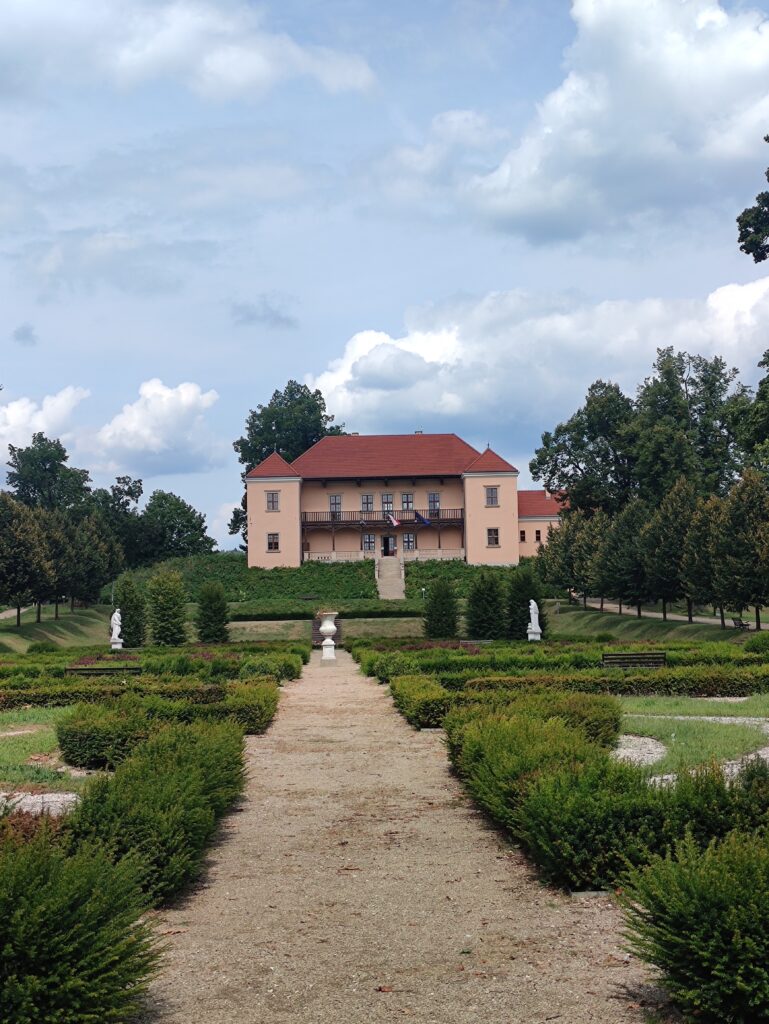
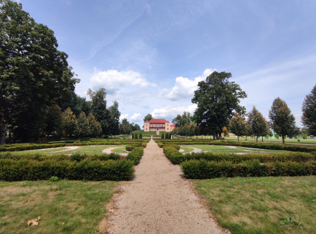
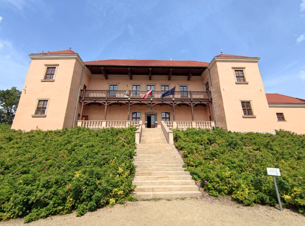
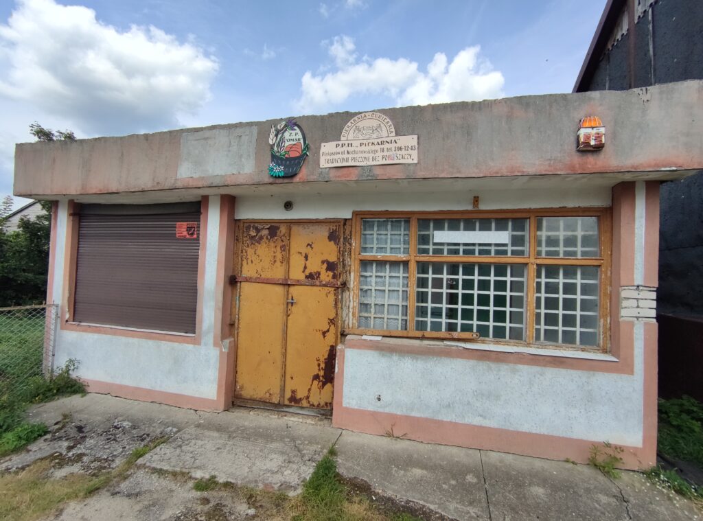
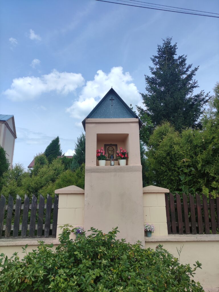
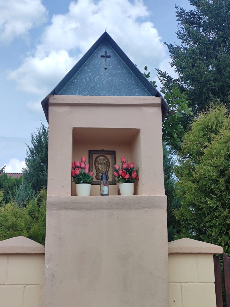
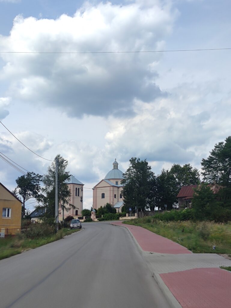
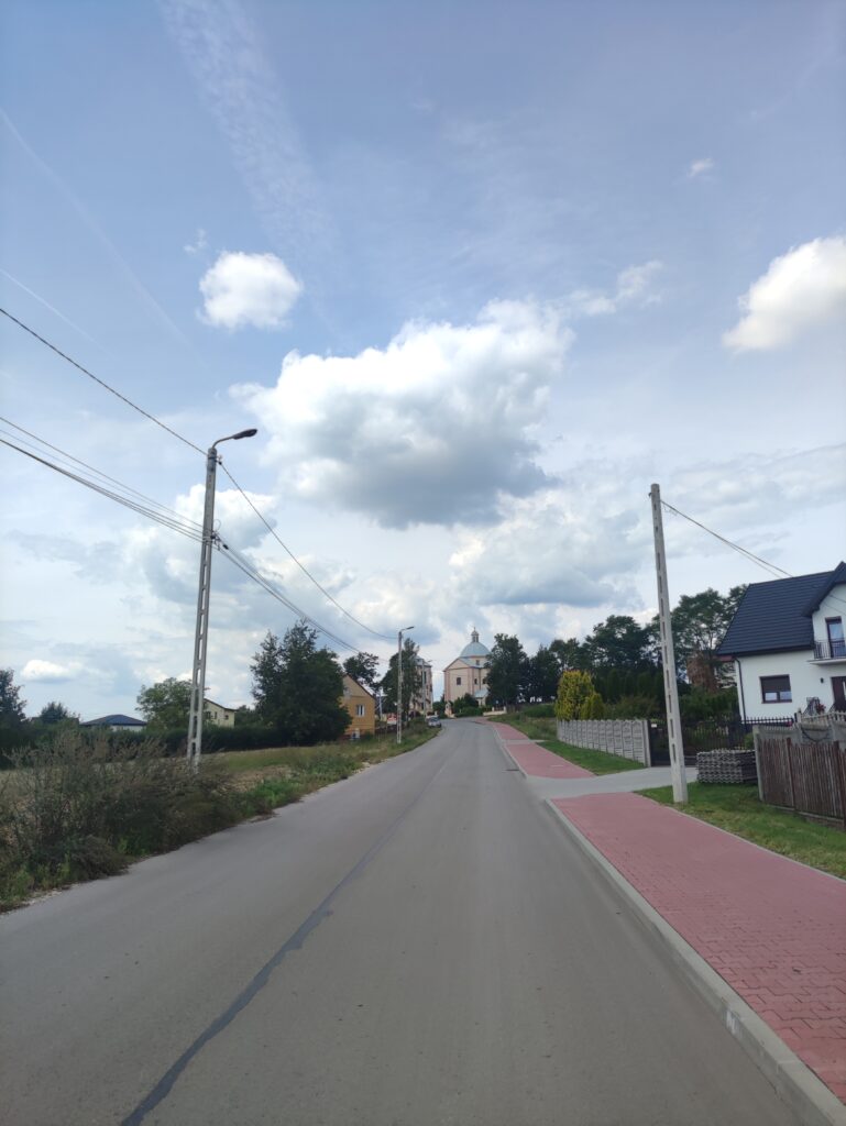
Zdjęcia na trasie

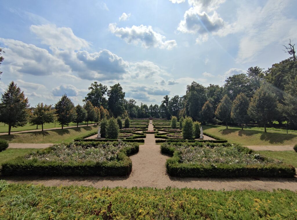
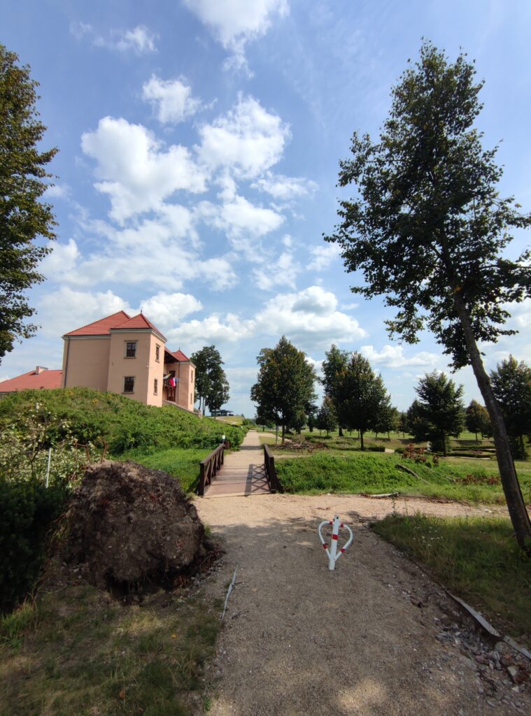
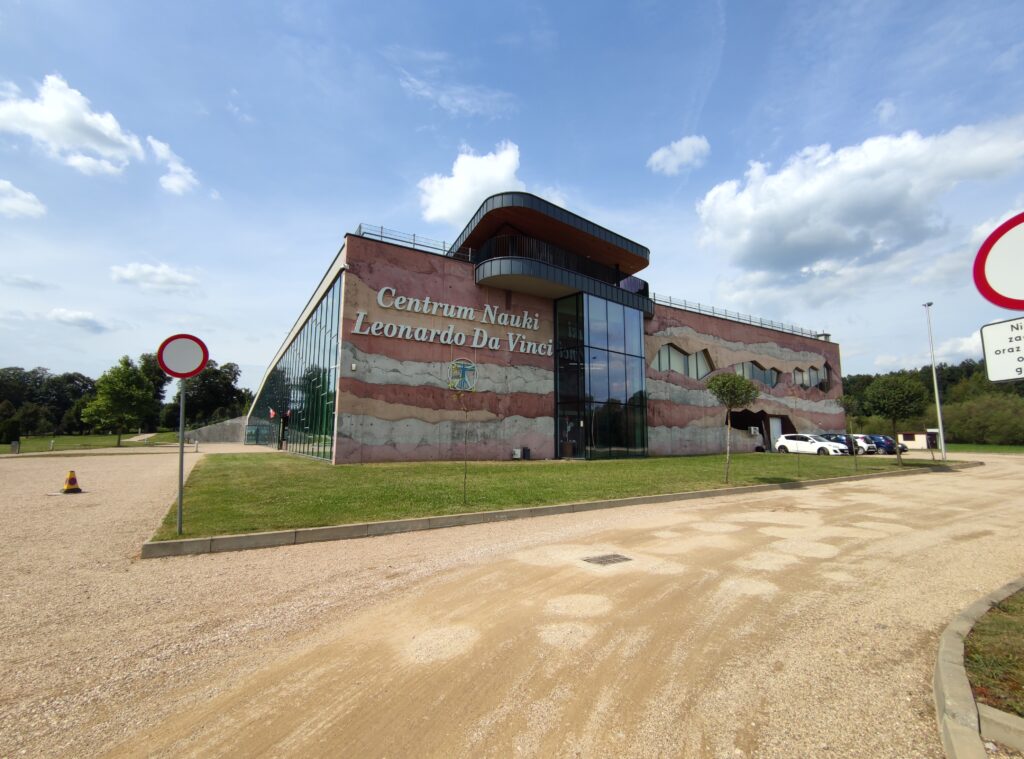
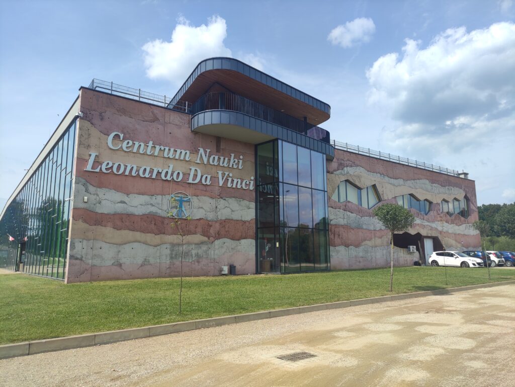

Trasa
| Podział | Dystans (km) | Czas trwania (min) | Różnica wysokości (m) | Średnia prędkość (m/s) |
|---|---|---|---|---|
| 1 | 1.02 | 4:3 | -8.2 | 5.44 |
| 2 | 0.99 | 2:42 | -3.2 | 6.8 |
| 3 | 1.05 | 3:27 | 8.4 | 5.33 |
| 4 | 0.98 | 2:58 | -9 | 6.31 |
| 5 | 0.98 | 2:7 | 7.8 | 6.07 |
| 6 | 1.00 | 2:97 | 7.8 | 5.6 |
| 7 | 1.02 | 3:05 | 0.6 | 5.6 |
| 8 | 1.01 | 2:9 | 6 | 5.78 |
| 9 | 0.99 | 2:83 | 7.2 | 5.82 |
| 10 | 1.00 | 2:18 | -28.4 | 7.65 |
| 11 | 0.99 | 2:07 | -3.4 | 8.02 |
| 12 | 1.03 | 3:05 | 10 | 5.63 |
| 13 | 1.00 | 1:95 | -11.2 | 8.54 |
| 14 | 0.96 | 2:28 | 5.4 | 7 |
| 15 | 1.00 | 2:3 | -2.4 | 7.25 |
| 16 | 1.00 | 3:13 | 12.6 | 5.9 |
| 17 | 0.98 | 3:3 | -11 | 5.83 |
| 18 | 1.03 | 5:07 | 4.4 | 3.9 |
| 19 | 0.97 | 8:02 | 1 | 3.09 |
| 20 | 1.01 | 5:92 | -14.8 | 6.25 |
| 21 | 0.99 | 2:35 | 7.8 | 7.04 |
| 22 | 1.00 | 6:38 | 1.8 | 3.38 |
| 23 | 0.99 | 2:75 | -9.2 | 6.9 |
| 24 | 1.03 | 2:63 | -2.6 | 6.75 |
| 25 | 1.01 | 5:72 | 2 | 4.5 |
| 26 | 0.98 | 3:8 | 9.8 | 4.6 |
| 27 | 0.99 | 8:92 | -7.8 | 2.79 |
| 28 | 1.03 | 2:58 | 6.2 | 6.65 |
| 29 | 0.97 | 6:3 | 1.4 | 3.61 |
| 30 | 1.01 | 3:03 | 5.2 | 6.33 |
| 31 | 1.02 | 3:22 | 6.4 | 5.8 |
| 32 | 0.99 | 2:55 | 1.4 | 6.47 |
| 33 | 1.02 | 2:37 | 1.6 | 7.21 |
| 34 | 0.98 | 3:33 | 20.8 | 5.5 |
| 35 | 0.98 | 8:17 | 1.8 | 4.39 |
| 36 | 1.01 | 4:12 | -1 | 4.35 |
| 37 | 1.04 | 4:62 | 18.4 | 4.03 |
| 38 | 0.96 | 4:03 | 7 | 4.69 |
| 39 | 1.00 | 14:62 | 37.2 | 2.59 |
| 40 | 1.01 | 7:38 | -11 | 2.97 |
| 41 | 1.01 | 4:62 | -11.6 | 3.74 |
| 42 | 1.00 | 2:43 | -14.6 | 6.88 |
| 43 | 0.99 | 2:12 | -10.6 | 7.81 |
| 44 | 0.99 | 4:17 | 21.4 | 4.08 |
| 45 | 1.00 | 4:25 | -3.6 | 5.21 |
| 46 | 1.04 | 2:83 | -7.2 | 6.75 |
| 47 | 0.97 | 2:78 | -10.4 | 6.75 |
| 48 | 1.01 | 3:73 | 1.8 | 4.93 |
| 49 | 1.04 | 2:47 | -1.6 | 7.04 |
| 50 | 0.97 | 4:73 | -3.6 | 4.89 |
| 51 | 1.01 | 8 | 2.6 | 3.34 |
| 52 | 0.99 | 3:93 | 2 | 4.99 |
| 53 | 0.97 | 2:38 | -24.4 | 6.75 |
| 54 | 1.02 | 5:33 | -11.2 | 4.82 |
| 55 | 1.02 | 2:83 | 1.8 | 5.99 |
| 56 | 0.99 | 2:02 | -0.2 | 8.2 |
| 57 | 0.98 | 3:73 | 2.4 | 5.12 |
| 58 | 1.03 | 2:7 | 4.4 | 6.35 |
| 59 | 0.97 | 2:43 | 3.2 | 6.65 |
| 60 | 1.00 | 5:13 | 0.4 | 4.36 |
| 61 | 1.00 | 3:4 | 11.6 | 5.41 |
| 62 | 1.00 | 3:13 | 4.6 | 5.33 |
| 63 | 1.00 | 3:8 | 14.8 | 4.97 |
| 64 | 1.02 | 3:55 | 14.4 | 4.81 |
| 65 | 1.00 | 2:05 | -14.6 | 8.15 |
| 66 | 0.99 | 2:3 | -5.8 | 7.14 |
| 67 | 0.99 | 1:9 | -15.6 | 8.69 |
| 68 | 0.98 | 2:27 | 0.4 | 7.22 |
| 69 | 1.01 | 2:37 | -5.4 | 7.13 |
| 70 | 1.00 | 2:67 | -1.4 | 6.79 |
| 71 | 1.03 | 2:58 | 13.6 | 6.64 |
| 72 | 0.96 | 3:08 | -28.6 | 6.98 |
| 73 | 1.03 | 2:25 | -6.4 | 7.64 |
| 74 | 0.97 | 2:13 | 0.4 | 7.54 |
| 75 | 1.00 | 3:93 | 0.2 | 4.35 |
| 76 | 0.99 | 2:72 | 1 | 6.1 |
| 77 | 1.02 | 29:98 | -1 | 3.48 |
| 78 | 1.01 | 4:13 | 5 | 4.06 |
| 79 | 0.97 | 4:3 | 4.2 | 3.84 |
| 80 | 1.01 | 4:18 | 1.2 | 4.04 |
| 81 | 0.07 | 0:42 | 1.4 | 2.81 |
Miejscowości
- województwo świętokrzyskie
- Kielce
- Podkarczówka
- Pakosz
- Barwinek
- Zalesie
- Stadion
- Białogon
- Baranówek
- powiat kielecki
- gmina Chęciny
- Korzecko
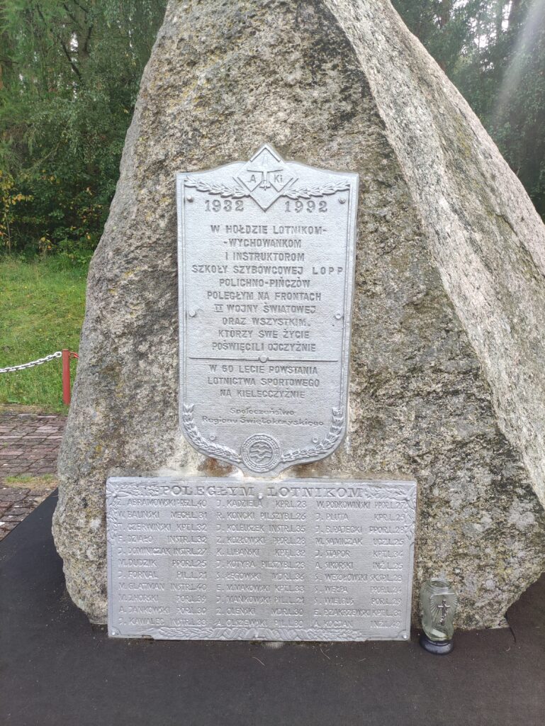
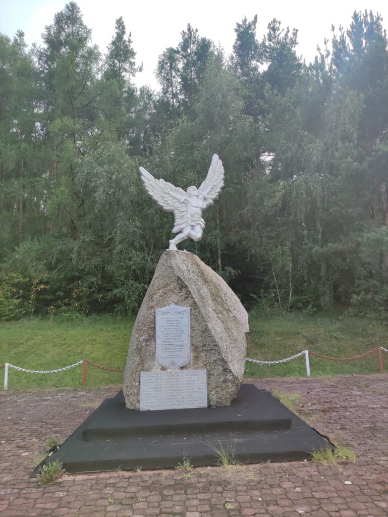
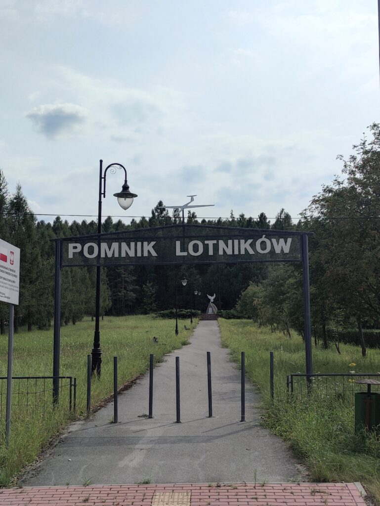
- Polichno
- Podzamcze
- Mosty
- Bolmin
- Skiby
- Radkowice
- Lipowica
- Starochęciny
- gmina Morawica
- Łabędziów
- Morawica
- Wola Morawicka
- Brzeziny
- Bieleckie Młyny
- Piaseczna Górka
- Bilcza
- gmina Nowiny
- Szewce
- Zagrody
- gmina Chęciny
- Kielce
Strava segmenty
| Nazwa | Czas trwania (s) | Czas w ruchu (s) | Odległość (m) | Średnie nachylenie (%) | Maksymalne nachylenie (%) | Wysokość maks. | Wysokość min. |
|---|---|---|---|---|---|---|---|
| Bilcza w stronę Chęcin | 912 | 912 | 5162.8 | 0.6 | 5.6 | 272.4 | 236.2 |
| Podwole | 187 | 187 | 1311.4 | -2.5 | 1.1 | 260.1 | 227 |
| korzecko-> polichno | 190 | 190 | 1239.6 | 1.1 | 13.6 | 237.2 | 219.4 |
| Up Pod Piekło | 423 | 344 | 911.2 | 2.3 | 15.5 | 311.2 | 290.1 |
| [UP] Piekiełko po schodach | 408 | 153 | 376.4 | 7.1 | 19.5 | 346 | 319.4 |
| Zjazd - Krótki | 153 | 133 | 357.3 | -8.5 | 0 | 345.8 | 315.5 |
| PB Nowiny 2016 | 309 | 306 | 1105.1 | 2.8 | 7.4 | 296.8 | 266.2 |
| Górników Staszicowskich (Krakowska - Pańska) | 80 | 80 | 638.2 | 0.2 | 2.1 | 237 | 234.1 |
| Górników Staszicowskich (od Pańska do Fabryczna) | 138 | 138 | 981 | 0.3 | 5.6 | 239 | 235 |
| *KSiB*Kadena(Krakowska->Końcowa) | 90 | 90 | 603.9 | 0.5 | 1.9 | 243.2 | 239.8 |
| al. Na Stadion (Pakosz - Szczepaniaka) | 164 | 138 | 605.8 | 3.6 | 28.4 | 270.8 | 249.1 |
| Szczepaniaka do IPN | 56 | 56 | 315.1 | -0.4 | 3.2 | 273.9 | 269.8 |
| Hopka Na Stadion do Ściegiennego | 477 | 449 | 2099.7 | 1.8 | 10.5 | 299.9 | 261.1 |
| Al. Na Stadion (Wybraniecka - Obrzeżna) | 141 | 141 | 753.8 | 2.3 | 4.7 | 279.8 | 262.8 |
| Al. Na Stadion (Janczarska - Obrzeżna) | 81 | 81 | 444.4 | 2.7 | 4.7 | 279.2 | 267.1 |
| Obrzeżna/Konecka (al. Na Stadion - Ściegiennego) | 215 | 215 | 984.6 | 0.7 | 14.8 | 294.4 | 284 |
| Obrzeżna (Al. Na Staion - Szwoleżerów) | 97 | 97 | 475.4 | 0 | 2.5 | 282.7 | 279.3 |
| Do Ściegiennego | 81 | 81 | 340.3 | 2.2 | 9.4 | 320.6 | 312.2 |
| Ks.P.Ściegiennego | 591 | 591 | 4537.2 | -1 | 3.9 | 302.9 | 251 |
| Lecznica - Rolmet | 171 | 171 | 1409.4 | -1.7 | 3.6 | 307 | 279.4 |
| Do Modrzewia - Bilcza Żeromskiego | 483 | 483 | 3603.8 | -0.8 | 2.7 | 309.4 | 282.2 |
| Zalew Morawica | 173 | 173 | 1016.8 | -0.3 | 4.4 | 230.5 | 226.1 |
Punkty GPS na trasie
Wszystkie: 2395Uproszczone: 360