01.10.2023 13:01
Ride
-
Dystans
43.50 km
-
Średnia prędkość
18.32 km/h
-
Maksymalna prędkość
54.34 km/h
-
Czas ruchu
02:22
-
Całkowity czas
02:33
-
Najniższa wysokość
227.5 m
-
Najwyższa wysokość
405.1 m
-
Suma przewyższeń
375.8 m
-
Kalorie
489
-
Kwadraty
28
-
Osiągnięcia
26
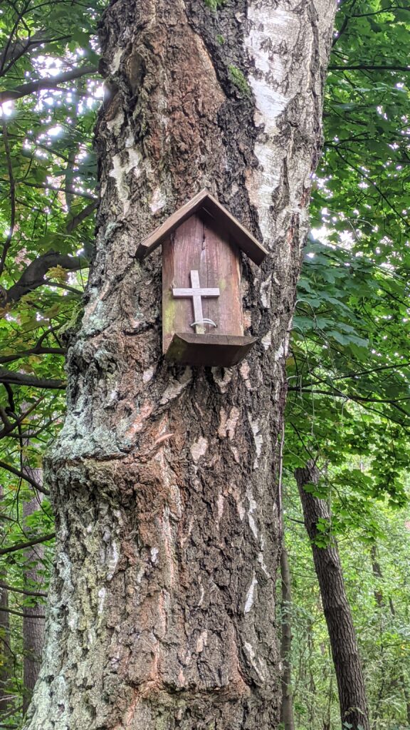
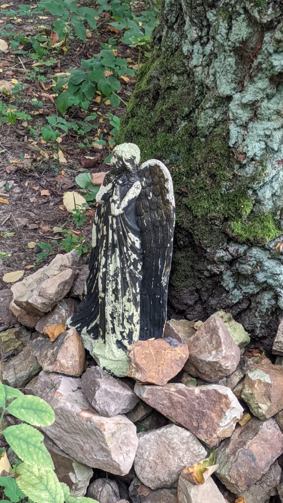
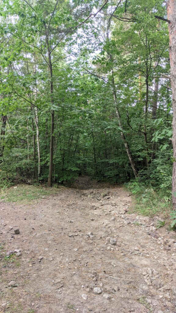
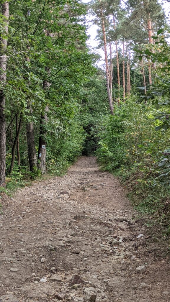
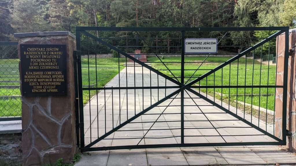
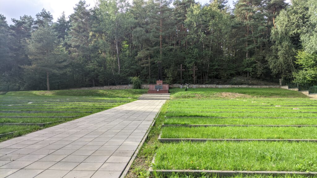
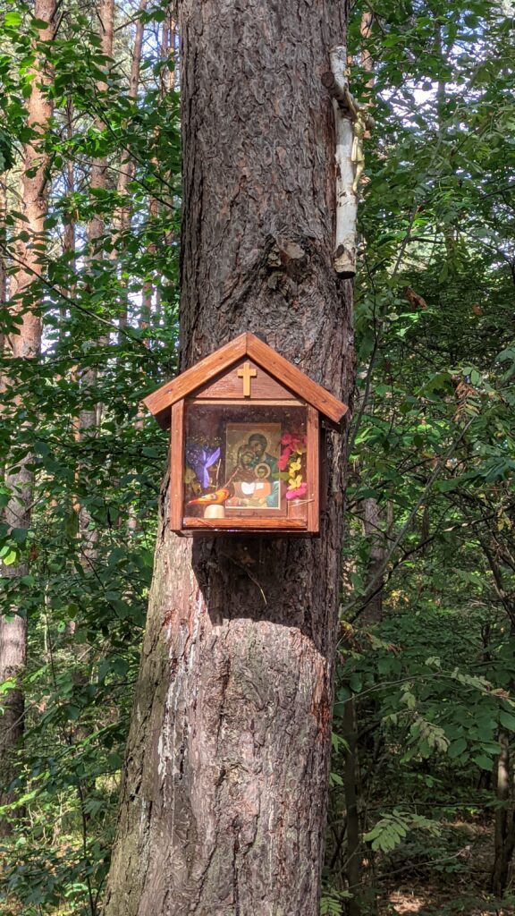
Zdjęcia na trasie
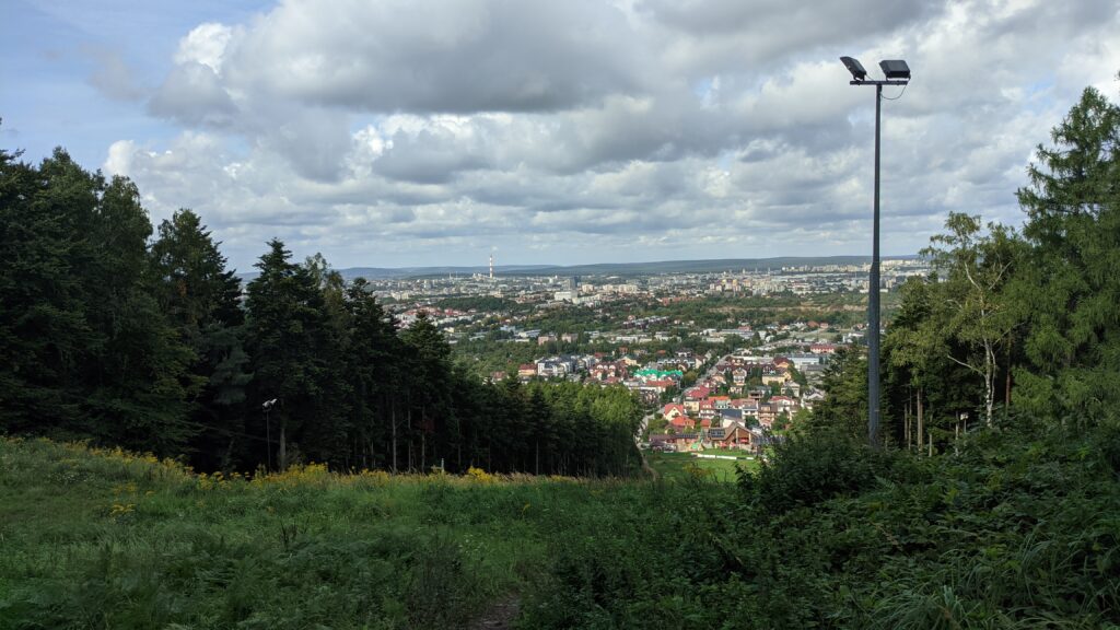
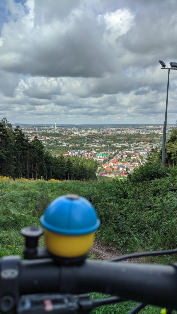
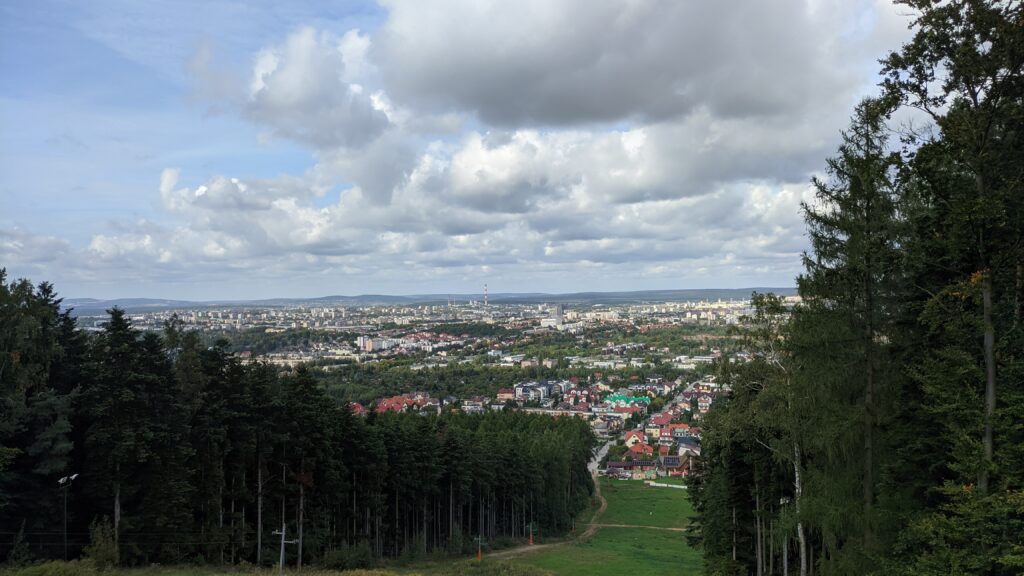
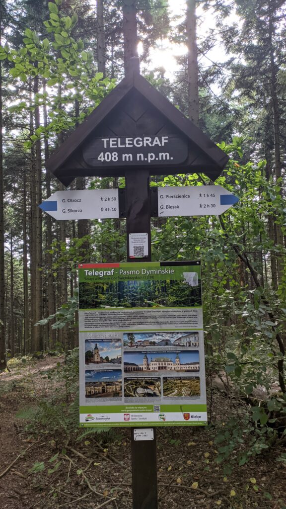
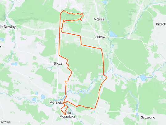
Trasa
| Podział | Dystans (km) | Czas trwania (min) | Różnica wysokości (m) | Średnia prędkość (m/s) |
|---|---|---|---|---|
| 1 | 1.00 | 2:95 | -10 | 5.66 |
| 2 | 1.00 | 2:92 | -0.3 | 5.73 |
| 3 | 1.00 | 3:77 | 0.9 | 4.42 |
| 4 | 1.00 | 2:67 | 0.2 | 6.27 |
| 5 | 1.00 | 2:82 | 11.8 | 5.9 |
| 6 | 1.00 | 2:55 | 1.1 | 6.54 |
| 7 | 1.00 | 2:4 | 5.2 | 6.92 |
| 8 | 1.00 | 2:38 | 6.4 | 7.01 |
| 9 | 1.00 | 2:53 | 0.2 | 6.59 |
| 10 | 1.00 | 2:62 | 2.5 | 6.34 |
| 11 | 1.00 | 2:47 | 1.5 | 6.76 |
| 12 | 1.01 | 2:62 | 15.9 | 6.4 |
| 13 | 1.00 | 3:3 | 5.7 | 5.03 |
| 14 | 1.00 | 2:38 | 15.6 | 7 |
| 15 | 1.00 | 6:15 | 39.2 | 3.47 |
| 16 | 1.00 | 12:63 | 68.7 | 2.2 |
| 17 | 1.00 | 8:73 | -77.8 | 1.97 |
| 18 | 1.00 | 4:9 | -14.9 | 3.6 |
| 19 | 1.00 | 3 | -25.1 | 5.54 |
| 20 | 1.00 | 4:93 | 26.7 | 3.38 |
| 21 | 1.00 | 4:22 | 2.7 | 3.95 |
| 22 | 1.00 | 7:38 | -6.3 | 2.9 |
| 23 | 1.00 | 2:65 | -29.4 | 6.29 |
| 24 | 1.00 | 5:8 | 3.3 | 4.01 |
| 25 | 1.00 | 4:25 | -13.8 | 4.3 |
| 26 | 1.01 | 3:77 | -2.4 | 4.46 |
| 27 | 0.99 | 1:97 | -12.9 | 8.42 |
| 28 | 1.01 | 1:9 | -1.4 | 8.82 |
| 29 | 1.00 | 2:23 | -7.5 | 7.47 |
| 30 | 0.99 | 3:48 | -0.7 | 4.74 |
| 31 | 1.01 | 2:27 | 5.2 | 7.4 |
| 32 | 1.00 | 3:28 | -2.7 | 5.07 |
| 33 | 1.00 | 2:45 | -4.4 | 6.79 |
| 34 | 1.00 | 2:53 | 0.3 | 6.6 |
| 35 | 1.00 | 2:17 | -4.7 | 7.66 |
| 36 | 1.00 | 2:3 | 20.4 | 7.25 |
| 37 | 1.00 | 3:27 | -0.8 | 5.53 |
| 38 | 1.00 | 1:85 | -17 | 9 |
| 39 | 1.00 | 2:03 | -4.3 | 8.21 |
| 40 | 1.00 | 2:22 | -4.4 | 7.49 |
| 41 | 1.00 | 2:45 | 1.1 | 6.82 |
| 42 | 1.00 | 2:93 | -5.5 | 5.67 |
| 43 | 1.00 | 3:57 | 8.9 | 5.46 |
| 44 | 0.50 | 4:17 | 2.8 | 2 |
Miejscowości
- województwo świętokrzyskie
- Kielce
- Barwinek
- Wietrznia
- Bukówka
- Dyminy-Wieś
- powiat kielecki
- gmina Morawica
- Dyminy
- Łabędziów
- Morawica
- Wola Morawicka
- Radomice
- Bieleckie Młyny
- Piaseczna Górka
- Bilcza
- gmina Daleszyce
- Suków
- Marzysz
- gmina Morawica
- Kielce
Strava segmenty
| Nazwa | Czas trwania (s) | Czas w ruchu (s) | Odległość (m) | Średnie nachylenie (%) | Maksymalne nachylenie (%) | Wysokość maks. | Wysokość min. |
|---|---|---|---|---|---|---|---|
| DDR Bilcza - Kielce Ściegiennego | 705 | 679 | 4379.9 | 1.1 | 5.7 | 304.7 | 250 |
| DDR od Rolmetu do Ściegiennego | 238 | 238 | 1573.2 | 2.2 | 5.6 | 304.9 | 270.9 |
| segment dla RiC :-) | 644 | 455 | 1406 | 6.7 | 15.5 | 394.1 | 299.1 |
| Popiełuszki Most | 32 | 32 | 193.8 | 6 | 9.5 | 317 | 305.3 |
| Telegraf podjazd od rozjazdu do stoku | 410 | 337 | 988.5 | 8.2 | 30.9 | 407.4 | 326.3 |
| Telegraf pod wyciąg | 787 | 398 | 994.3 | 8.4 | 22.4 | 416.8 | 333.6 |
| Telegraf - las | 257 | 186 | 433.408 | 13.5 | 17 | 391 | 332.4 |
| Łanowa do Kalinowej | 182 | 117 | 796 | -2.7 | 0.7 | 300.6 | 278.8 |
| Sukowska GreenVelo | 354 | 263 | 1343.8 | -1.4 | 1.5 | 287 | 267.7 |
| Dyminy, Kielecka (Dymińska - Sukowska) | 126 | 99 | 597.2 | -0.4 | 2.3 | 266.2 | 262.1 |
| Przez BabieTZ | 379 | 373 | 3147.3 | -0.6 | 2.9 | 262.7 | 242.7 |
| Suków Babie - Młyny (Kaskada na Czarnej Nidzie) | 555 | 506 | 2956.6 | -0.4 | 6 | 255 | 234.4 |
| Modrzewie up | 57 | 57 | 370.1 | 3 | 7 | 255 | 243.7 |
| Modrzewie do końca asfaltu | 336 | 312 | 1948.1 | -1 | 6 | 317 | 294.8 |
| Młyny (Kaskada na Czarnej Nidzie) - droga marzyska | 77 | 77 | 436.2 | 1.7 | 5.2 | 243.8 | 236.5 |
| Zjazd do Młynów - Marzysz Drugi | 118 | 118 | 835.8 | -0.3 | 8.4 | 247.1 | 236 |
| Marzysz Drugi - Radomice Drugie (przez Wydrzysz) | 385 | 352 | 2430.6 | 0.6 | 8.9 | 257.5 | 238.4 |
| Wydrzysz podjazd | 58 | 58 | 376.7 | 4.6 | 6.5 | 256 | 238.6 |
| Wydrzyszcz - Łabędziów | 275 | 275 | 2327.8 | -0.9 | 2.4 | 255.5 | 235.2 |
Punkty GPS na trasie
Wszystkie: 0Uproszczone: 222